Bunker Hill
Hill, Mountain in Durham
England
Bunker Hill

Bunker Hill, located in Durham, is a prominent hill in the region that offers breathtaking views and recreational opportunities for visitors. Standing at an elevation of approximately 590 feet, Bunker Hill is known for its scenic beauty and historical significance.
This hill is nestled in Durham County, North Carolina, and is part of the larger Piedmont Plateau region. It is situated within the Bunker Hill Preserve, a protected area dedicated to preserving the natural habitat and promoting outdoor activities. The preserve encompasses around 80 acres of land, including the hill itself.
Bunker Hill is a popular destination for outdoor enthusiasts and nature lovers. It features well-maintained hiking trails that wind through lush forests, providing opportunities for exploration and exercise. The summit of the hill rewards hikers with panoramic views of the surrounding landscape, including the city of Durham and the nearby Eno River.
In addition to its natural beauty, Bunker Hill also holds historical significance. The hill is named after the Battle of Bunker Hill, one of the early conflicts in the American Revolutionary War. Although the battle took place in Massachusetts, the name was given to this hill in honor of the American revolutionary spirit.
Overall, Bunker Hill in Durham offers a combination of natural splendor, recreational activities, and historical significance. It is a place where visitors can immerse themselves in the beauty of nature while also reflecting on the nation's history.
If you have any feedback on the listing, please let us know in the comments section below.
Bunker Hill Images
Images are sourced within 2km of 54.86264/-1.4835991 or Grid Reference NZ3352. Thanks to Geograph Open Source API. All images are credited.


Bunker Hill is located at Grid Ref: NZ3352 (Lat: 54.86264, Lng: -1.4835991)
Unitary Authority: Sunderland
Police Authority: Northumbria
What 3 Words
///duke.maps.amount. Near Houghton-Le-Spring, Co. Durham
Nearby Locations
Related Wikis
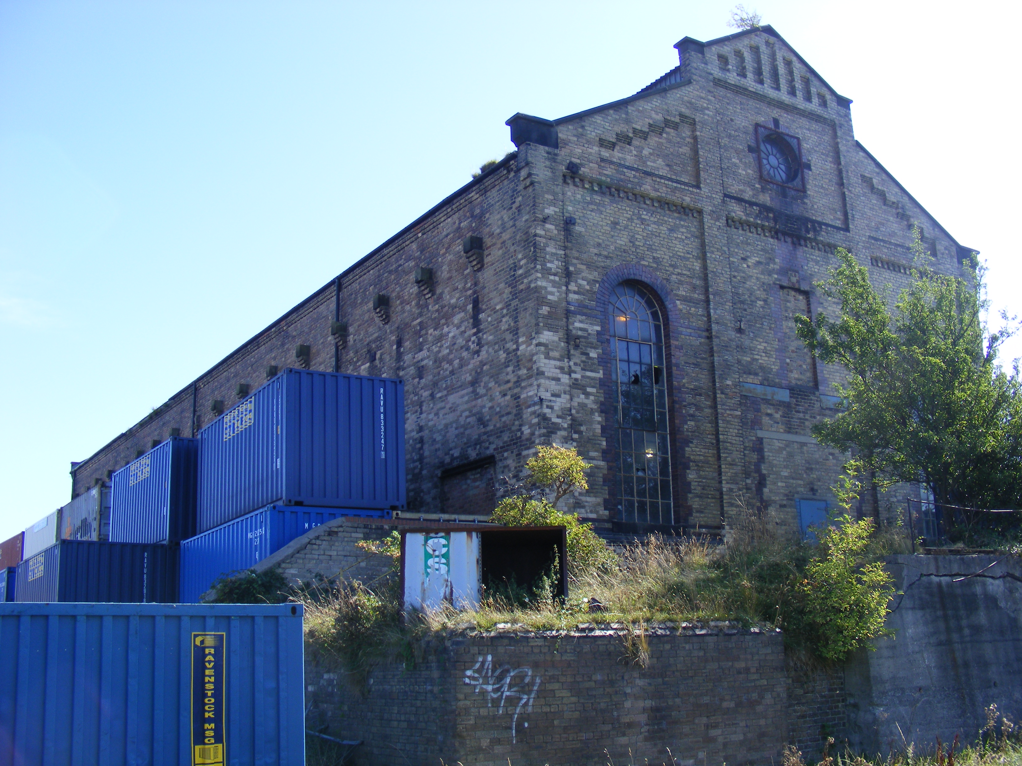
Philadelphia Power Station
Philadelphia Power Station is a defunct coal-fired power station situated between the villages of Philadelphia and Newbottle, 1.5 mi (2.4 km) north of...
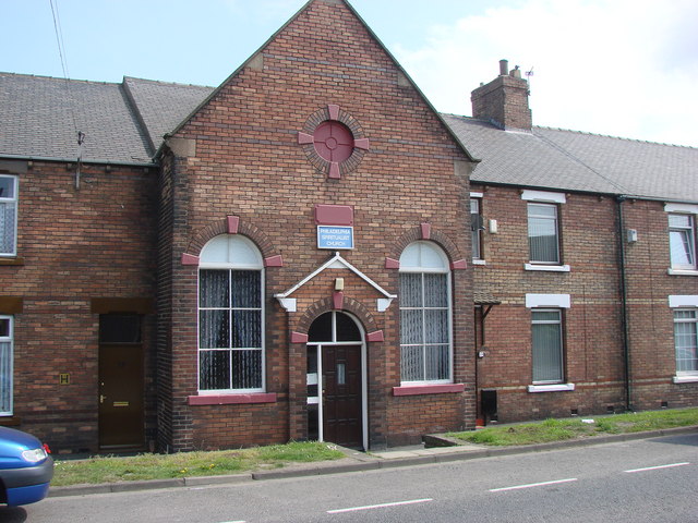
Philadelphia, Tyne and Wear
Philadelphia is a village in the City of Sunderland, England. It lies on the A182 road between Newbottle and Shiney Row. == History == Unlike nearby Washington...

1815 Philadelphia train accident
The 1815 Philadelphia train accident occurred on 31 July 1815, in Philadelphia, County Durham, England, when an early experimental railway locomotive,...

Newbottle, Tyne and Wear
Newbottle is a village in the City of Sunderland in Tyne and Wear, England. The village is situated between Durham 8 miles (13 km) and Sunderland is 5...
Nearby Amenities
Located within 500m of 54.86264,-1.4835991Have you been to Bunker Hill?
Leave your review of Bunker Hill below (or comments, questions and feedback).