Cnicht North Top
Hill, Mountain in Merionethshire
Wales
Cnicht North Top

The requested URL returned error: 429 Too Many Requests
If you have any feedback on the listing, please let us know in the comments section below.
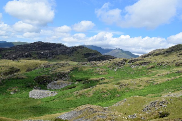
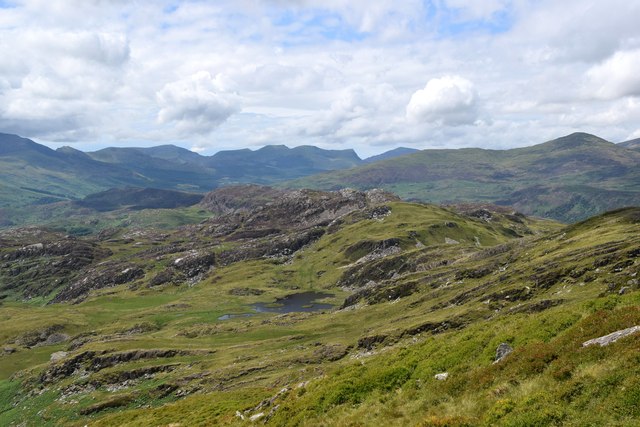
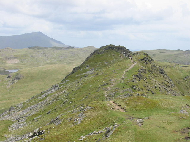
Cnicht North Top Images
Images are sourced within 2km of 53.001402/-4.0161608 or Grid Reference SH6446. Thanks to Geograph Open Source API. All images are credited.


Cnicht North Top is located at Grid Ref: SH6446 (Lat: 53.001402, Lng: -4.0161608)
Unitary Authority: Gwynedd
Police Authority: North Wales
What 3 Words
///highlighted.person.warblers. Near Blaenau-Ffestiniog, Gwynedd
Nearby Locations
Related Wikis

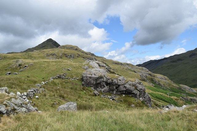
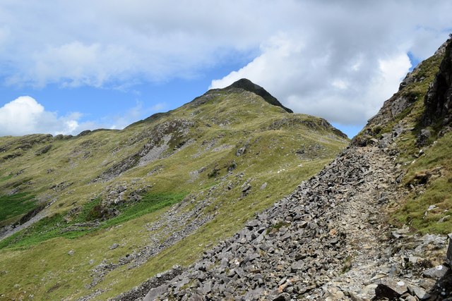
Cnicht
Cnicht is a mountain in Snowdonia which forms part of the Moelwynion mountain range. == Features == Its appearance when viewed from the south-west, i.e...
Cnicht North Top
Cnicht North Top is a top of Cnicht in Snowdonia, which forms part of the Moelwynion mountain range. It is one of the Nuttalls, a list of 443 hills in...

North West Wales
North West Wales (Welsh: Gogledd-Orllewin Cymru) is an area or region of Wales, commonly defined as a grouping of the principal areas of Conwy County Borough...

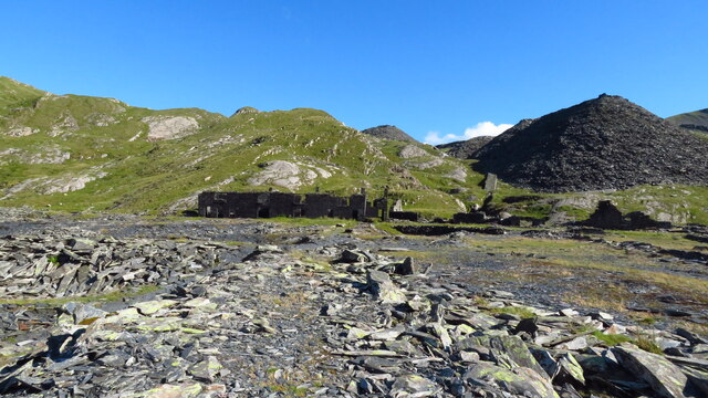
Croesor quarry
Croesor quarry is a large underground slate mine in North Wales which was served by Croesor Tramway. Small scale quarrying began in the 1846, and by 1861...
Nearby Amenities
Located within 500m of 53.001402,-4.0161608Have you been to Cnicht North Top?
Leave your review of Cnicht North Top below (or comments, questions and feedback).