Cnicht
Hill, Mountain in Merionethshire
Wales
Cnicht

The requested URL returned error: 429 Too Many Requests
If you have any feedback on the listing, please let us know in the comments section below.
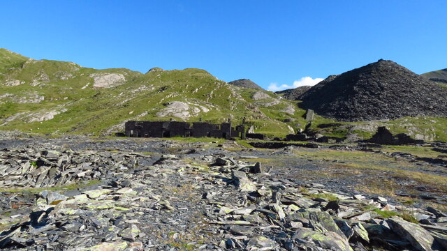
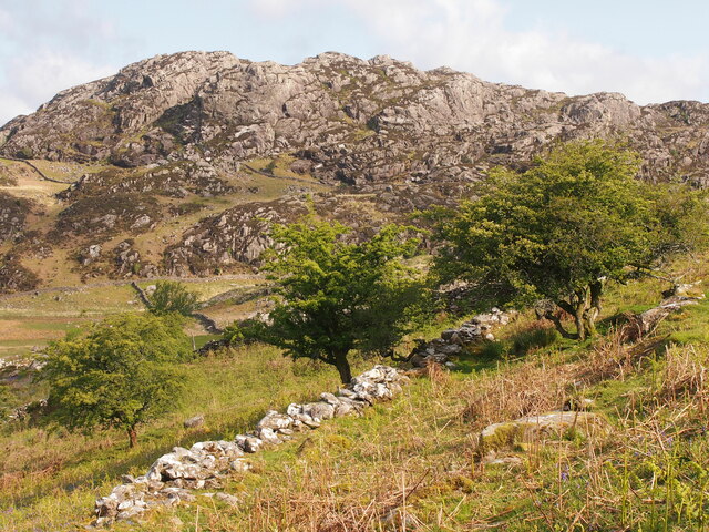
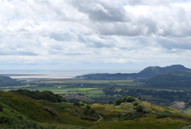
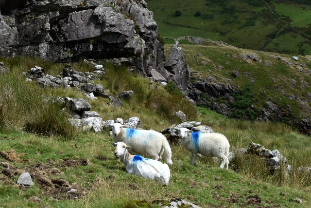
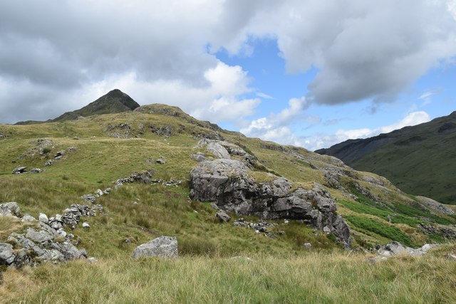
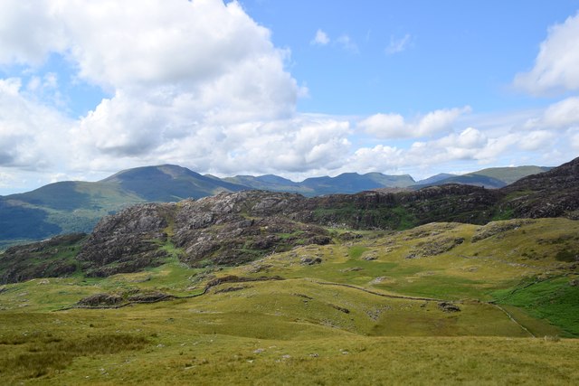
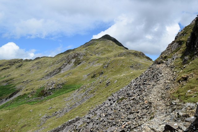
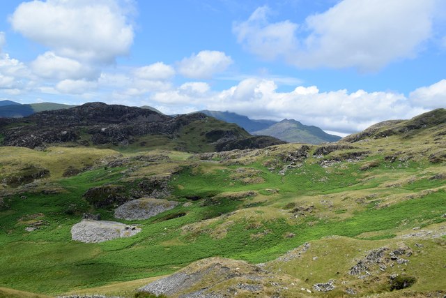
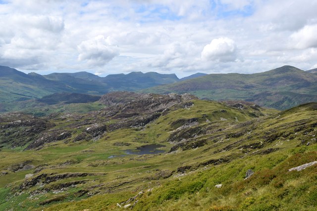
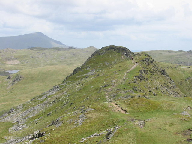
Cnicht Images
Images are sourced within 2km of 52.999529/-4.0205444 or Grid Reference SH6446. Thanks to Geograph Open Source API. All images are credited.


Cnicht is located at Grid Ref: SH6446 (Lat: 52.999529, Lng: -4.0205444)
Unitary Authority: Gwynedd
Police Authority: North Wales
What 3 Words
///unframed.spend.diamonds. Near Blaenau-Ffestiniog, Gwynedd
Nearby Locations
Related Wikis

Cnicht
Cnicht is a mountain in Snowdonia which forms part of the Moelwynion mountain range. == Features == Its appearance when viewed from the south-west, i.e...
Cnicht North Top
Cnicht North Top is a top of Cnicht in Snowdonia, which forms part of the Moelwynion mountain range. It is one of the Nuttalls, a list of 443 hills in...

North West Wales
North West Wales (Welsh: Gogledd-Orllewin Cymru) is an area or region of Wales, commonly defined as a grouping of the principal areas of Conwy County Borough...

Hafod Garregog National Nature Reserve
Hafod Garegog National Nature Reserve is a national nature reserve located near the village of Nantmor, about 6 kilometres north of Porthmadog in Gwynedd...
Nearby Amenities
Located within 500m of 52.999529,-4.0205444Have you been to Cnicht?
Leave your review of Cnicht below (or comments, questions and feedback).