Cefn Gwyntog

Hill, Mountain in Montgomeryshire

Wales

Cefn Gwyntog

Summit of Foel Cedig with view towards the Arans
Summit of Foel Cedig with view towards the Arans Credit: Colin Park

The requested URL returned error: 429 Too Many Requests

If you have any feedback on the listing, please let us know in the comments section below.
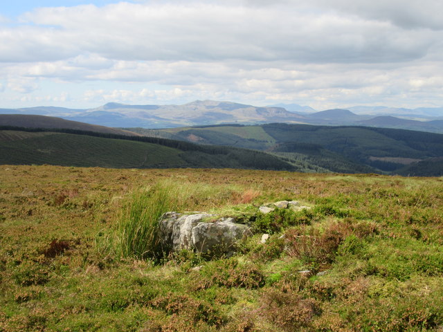
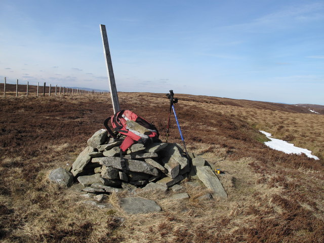
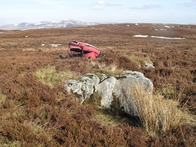
Cefn Gwyntog Images

Images are sourced within 2km of 52.826266/-3.5211965 or Grid Reference SH9726. Thanks to Geograph Open Source API. All images are credited.

Summit of Foel Cedig with view towards the Arans
Old Boundary Marker Estate Boundary Marker on the south side of the boundary fence on Bwlch Cam. On the boundary of Llangywer and Llanwddyn parishes. Inscribed DP on its south face.

Milestone Society National ID: MER_GYWE01em
Old Boundary Marker
Estate Boundary Marker on the south side of the boundary fence on Bwlch Cam. On the boundary of Llangywer and Llanwddyn parishes. Inscribed DP on its south face. Milestone Society National ID: MER_GYWE01em
Old Boundary Marker Estate Boundary Marker on the south side of the boundary fence on Bwlch Cam. On the boundary of Llangywer and Llanwddyn parishes. Inscribed DP on its south face and HB / 1852 on its north face.

Milestone Society National ID: MER_GYWE02em
Old Boundary Marker
Estate Boundary Marker on the south side of the boundary fence on Bwlch Cam. On the boundary of Llangywer and Llanwddyn parishes. Inscribed DP on its south face and HB / 1852 on its north face. Milestone Society National ID: MER_GYWE02em
Old Boundary Marker Estate Boundary Marker 200 metres southwest of Stac Rhos summit. On the boundary of Llangywer and Llanwddyn parishes. Inscribed DP on its south face.

Milestone Society National ID: MER_GYWE04em
Old Boundary Marker
Estate Boundary Marker 200 metres southwest of Stac Rhos summit. On the boundary of Llangywer and Llanwddyn parishes. Inscribed DP on its south face. Milestone Society National ID: MER_GYWE04em
Cairn, Cyrniau Nod Amongst the vast heathery wastes of the Hirnant.
Cairn, Cyrniau Nod
Amongst the vast heathery wastes of the Hirnant.
Cairn, Cyrniau Nod
Cairn, Cyrniau Nod
Foel Cedig  2188' / 667m A recent re-survey has reversed the heights of Foel Cedig with nearby Cyrniau Nod, and with it their Nuttall and Marilyn status.
Foel Cedig 2188' / 667m
A recent re-survey has reversed the heights of Foel Cedig with nearby Cyrniau Nod, and with it their Nuttall and Marilyn status.
Summit cairn, Cyrniau Nod   2187' / 666m A re-survey in 2018 reversed the heights of Cyrniau Nod with nearby Foel Cedig, thus depriving Cyrniau Nod of its Nuttall and Marilyn status.
Summit cairn, Cyrniau Nod 2187' / 666m
A re-survey in 2018 reversed the heights of Cyrniau Nod with nearby Foel Cedig, thus depriving Cyrniau Nod of its Nuttall and Marilyn status.
Track south of Penllyn Forest
Moorland track south of Cwm Bychan Foel Cedig on the horizon.
Moorland track south of Cwm Bychan
Foel Cedig on the horizon.
Stac Rhos 2067' / 630m Mini-cairn on the flat summit.
Stac Rhos 2067' / 630m
Mini-cairn on the flat summit.
Cefn Gwyntog (Windy Ridge) The East side of the ridge.
Cefn Gwyntog (Windy Ridge)
The East side of the ridge.
Cattle grid on mountain road to Bala
Mountain road to Bala
Afon Nadroedd valley near Braich-yr Owen
The minor road to Lake Vyrnwy Taken from the car on the approach to the bridge crossing the Afon Nadroedd
The minor road to Lake Vyrnwy
Taken from the car on the approach to the bridge crossing the Afon Nadroedd
Cyrniau Nod Climbed on a very clear sunny spring afternoon from the minor road to west.

Name: Cyrniau Nod
Hill number: 2105
Height: 667m / 2188ft
Area: 30E: Bala to Welshpool
Class: Ma,Hew,N
Grid ref: SH 98850 27925
Summit feature: no feature: 15m NNE of cairn
Drop: 179m
Col: 488m  SH944273
Cyrniau Nod
Climbed on a very clear sunny spring afternoon from the minor road to west. Name: Cyrniau Nod Hill number: 2105 Height: 667m / 2188ft Area: 30E: Bala to Welshpool Class: Ma,Hew,N Grid ref: SH 98850 27925 Summit feature: no feature: 15m NNE of cairn Drop: 179m Col: 488m SH944273
Foel Cedig Foel Cedig 666 metres, an alternative high point to Cyrniau Nod at 667 metres, for Marilyn status.
Foel Cedig
Foel Cedig 666 metres, an alternative high point to Cyrniau Nod at 667 metres, for Marilyn status.
Show me another place!

Cefn Gwyntog is located at Grid Ref: SH9726 (Lat: 52.826266, Lng: -3.5211965)

Unitary Authority: Powys

Police Authority: Dyfed Powys

What 3 Words

///giants.hobbyists.tweezers. Near Llangynog, Powys

Nearby Locations

Cefn Gwyntog

Related Wikis

Rhiwargor

Rhiwargor is a hamlet in Powys, Wales. It is located north of Lake Vyrnwy. The hamlet is made up of a few houses with no amenities. It does however, lie...

Foel y Geifr

Foel y Geifr is a subsidiary summit of Esgeiriau Gwynion, and included in a group of hills known as the Hirnantau. These hills rise from the south east...

Foel Goch (Hirnant)

Foel Goch is a subsidiary summit of Esgeiriau Gwynion, and is included in a group of hills known as the Hirnantau. These hills rise from the south east...

St Melangell's Church, Pennant Melangell

St Melangell's Church, Pennant Melangell, is a small church located on a minor road which joins the B4391 near the village of Llangynog, Powys, Wales....

Nearby Amenities

Located within 500m of 52.826266,-3.5211965
Cefn Gwyntog
Ele: 615
Natural: peak
Wikidata: Q11135687
Wikipedia: cy:Cefn Gwyntog
Lat/Long: 52.827059/-3.521192
Check Date: 2021-08-22
Man Made: cairn
Lat/Long: 52.8270641/-3.5212763
The data included in this document is from www.openstreetmap.org. The data is made available under ODbL.

Have you been to Cefn Gwyntog?

Leave your review of Cefn Gwyntog below (or comments, questions and feedback).