Cadair Idris
Hill, Mountain in Merionethshire
Wales
Cadair Idris

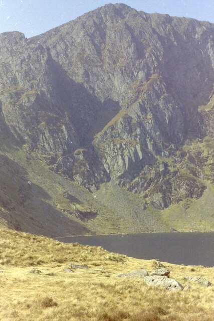
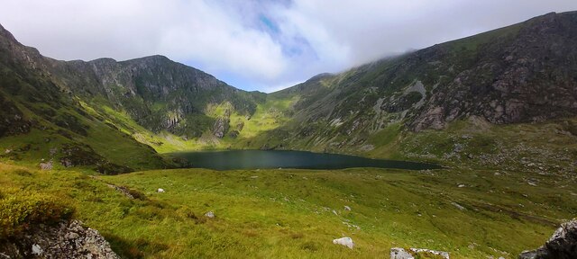
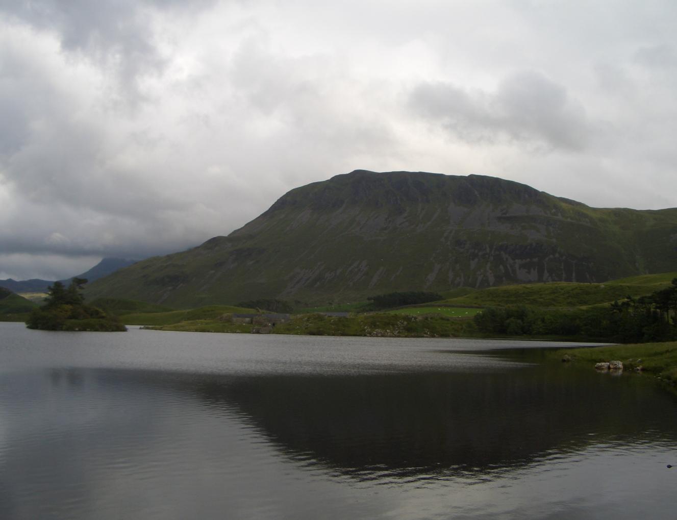
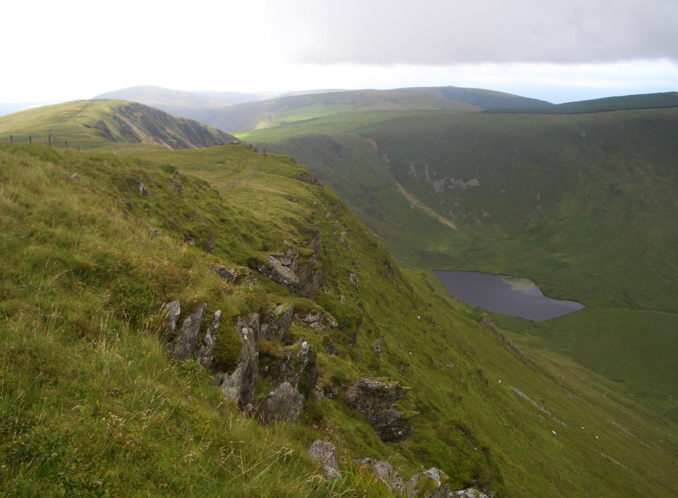
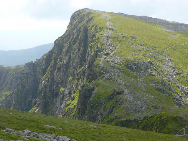
Cadair Idris, located in Merionethshire, Wales, is a prominent mountain in the southern part of Snowdonia National Park. Standing at an impressive height of 893 meters (2,930 feet), it offers spectacular views of the surrounding landscapes, making it a popular destination for hikers and nature enthusiasts.
The mountain is composed mainly of Ordovician volcanic rock, giving it a rugged and dramatic appearance. Its distinct shape, resembling a chair or a throne, is believed to have inspired its name, which translates to "Idris's Chair" in English. According to local legend, Idris, a giant and legendary Welsh prince, would sit on the summit to contemplate the stars and the universe.
Cadair Idris is known for its three main peaks: Penygadair, Mynydd Moel, and Cyfrwy. Penygadair, the highest peak, offers breathtaking panoramic views, encompassing the nearby Mawddach Estuary, Cardigan Bay, and even parts of England on clear days. The mountain is also home to a picturesque glacial lake called Llyn Cau, nestled within a dramatic cirque, which adds to the scenic beauty of the area.
The mountain is a haven for wildlife, with various bird species such as red kites, peregrine falcons, and ravens frequenting the area. Rare plants, including purple saxifrage and mountain sorrel, can also be found clinging to the rocky slopes.
With its stunning natural beauty, rich folklore, and challenging hiking trails, Cadair Idris is a must-visit destination for those seeking an unforgettable outdoor experience in Wales.
If you have any feedback on the listing, please let us know in the comments section below.
Cadair Idris Images
Images are sourced within 2km of 52.699285/-3.9089642 or Grid Reference SH7113. Thanks to Geograph Open Source API. All images are credited.


Cadair Idris is located at Grid Ref: SH7113 (Lat: 52.699285, Lng: -3.9089642)
Unitary Authority: Gwynedd
Police Authority: North Wales
What 3 Words
///obstinate.target.behave. Near Dolgellau, Gwynedd
Nearby Locations
Related Wikis

Cadair Idris
Cadair Idris or Cader Idris is a mountain in the Meirionnydd area of Gwynedd, Wales. It lies at the southern end of the Snowdonia National Park near the...
Tyrrau Mawr
Tyrrau Mawr or Craig-las is a subsidiary summit of Cadair Idris in the Snowdonia National Park, in Gwynedd, northwest Wales. It lies to the west of Cyfrwy...

Gau Graig
Gau Graig is a subsidiary summit of Cadair Idris in the Snowdonia National Park, in Gwynedd, northwest Wales. It lies to the east of Mynydd Moel on a broad...
Craig-y-llyn
Craig-y-llyn is a subsidiary summit of Cadair Idris in the Snowdonia National Park, in Gwynedd, northwest Wales. It lies at the western end of the long...

Mynydd Moel
Mynydd Moel is the second highest summit of Cadair Idris in the Snowdonia National Park, in Gwynedd, northwest Wales. == Geography == It lies to the east...

Cyfrwy
Cyfrwy is a subsidiary summit of Cadair Idris in the Snowdonia National Park, in Gwynedd, northwest Wales. It lies to the west of Cadair Idris and is often...
Craig Cwm Amarch
Craig Cwm Amarch is not synonymous with Craig y Cau but names the headwall of Cwm Amarch on Cadair Idris in the Snowdonia National Park, in Gwynedd, north...
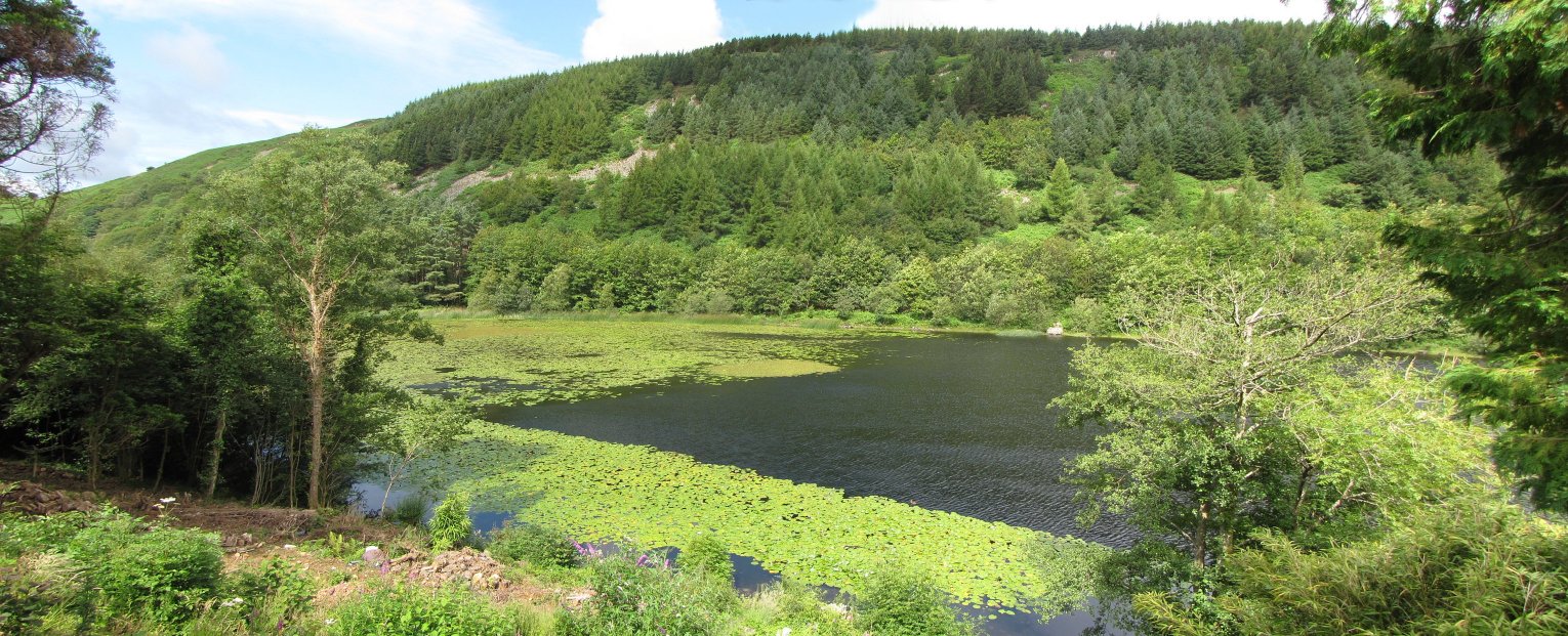
Llyn Gwernan
Llyn Gwernan is a lake in Gwynedd, Wales and an important geological site, notable for an unusual thickness of Devensian Late-glacial organic deposits...
Nearby Amenities
Located within 500m of 52.699285,-3.9089642Have you been to Cadair Idris?
Leave your review of Cadair Idris below (or comments, questions and feedback).