Bera Mawr
Hill, Mountain in Caernarfonshire
Wales
Bera Mawr
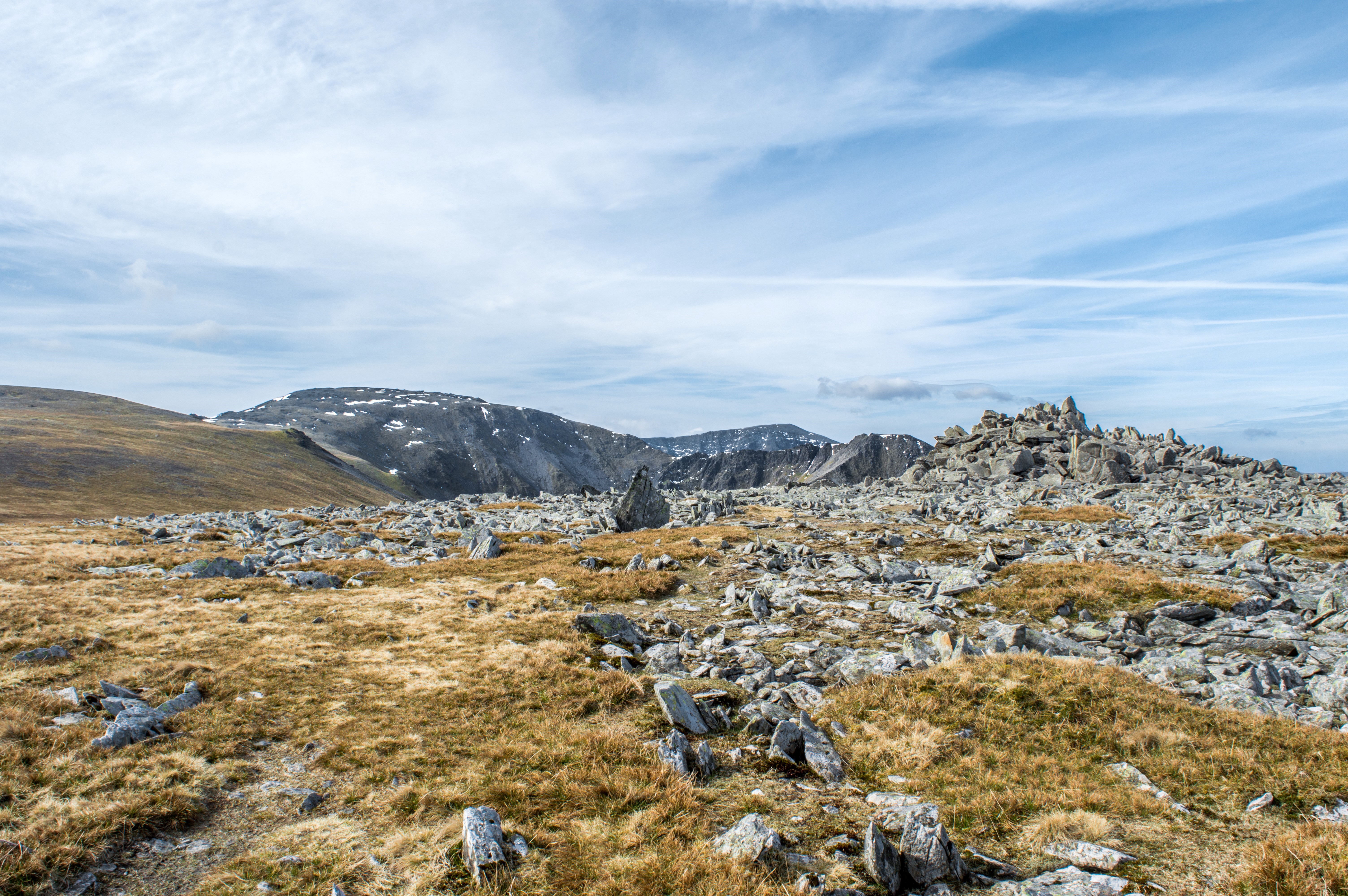
Bera Mawr, located in the county of Caernarfonshire, is a prominent hill/mountain in North Wales, renowned for its scenic beauty and historical significance. Standing at an impressive height of 795 meters (2,608 feet), it forms part of the Snowdonia National Park, attracting outdoor enthusiasts, hikers, and nature lovers alike.
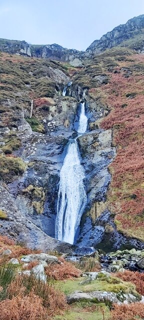
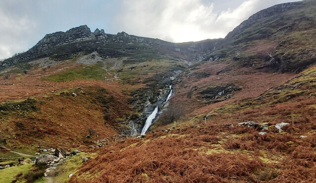
The terrain of Bera Mawr is rugged and challenging, with steep slopes and rocky outcrops, providing a thrilling experience for climbers and mountaineers. The summit offers panoramic views of the surrounding countryside, including the nearby Snowdon mountain range, the Menai Strait, and the Isle of Anglesey.
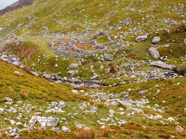
The hill/mountain is also steeped in history, with evidence of human activity dating back to the Bronze Age. Ancient burial chambers and cairns can be found on its slopes, highlighting its significance as a sacred site. Additionally, Bera Mawr was once a strategic lookout point during medieval times, playing a crucial role in the defense of the region.
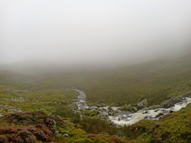
The wildlife on Bera Mawr is diverse and abundant, with various bird species, including peregrine falcons, ravens, and red kites, frequently spotted soaring above its peaks. The lower slopes are covered in heather and gorse, while the higher altitudes are home to hardy mountain grasses and mosses.
Access to Bera Mawr is typically via established walking trails, making it a popular destination for those seeking outdoor adventures or simply a peaceful escape into nature. Whether exploring its historical significance, enjoying breathtaking vistas, or challenging oneself physically, Bera Mawr offers a memorable experience for visitors of all ages.
If you have any feedback on the listing, please let us know in the comments section below.
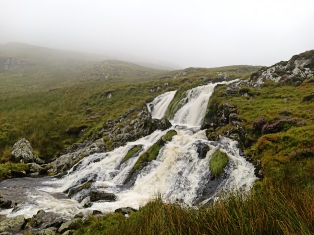
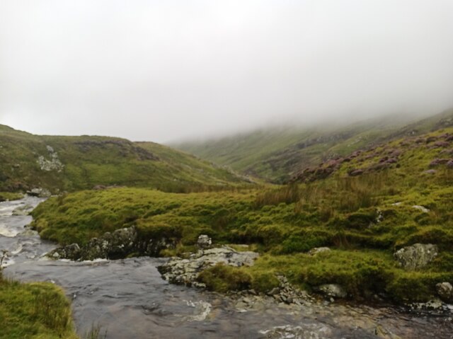
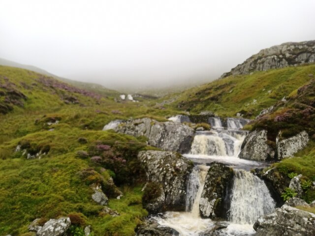
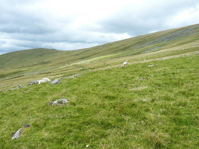
Bera Mawr Images
Images are sourced within 2km of 53.194302/-3.9862813 or Grid Reference SH6768. Thanks to Geograph Open Source API. All images are credited.


Bera Mawr is located at Grid Ref: SH6768 (Lat: 53.194302, Lng: -3.9862813)
Unitary Authority: Gwynedd
Police Authority: North Wales
What 3 Words
///lousy.dust.paying. Near Aber, Gwynedd
Nearby Locations
Related Wikis

Llwytmor
Llwytmor is a satellite peak of Foel-fras, and forms a part of the Carneddau range. The summit is 849 metres (2,785 ft) above sea level and it contains...

Gyrn Wigau
Gyrn Wigau is a summit of the Carneddau range in Snowdonia, Wales, and forms a part of the western Carneddau commonly known as the Beras. It is a top of...
Carnedd Gwenllian
Carnedd Gwenllian (named Y Garnedd Uchaf before 2009) is a minor summit of the Carneddau range in Snowdonia, Wales, and included in the Welsh 3000s. From...

Drosgl
Y Drosgl is a summit of the Carneddau range in Snowdonia, Wales, and forms a part of the western Carneddau, also known as the Berau, meaning 'stacks' or...
Nearby Amenities
Located within 500m of 53.194302,-3.9862813Have you been to Bera Mawr?
Leave your review of Bera Mawr below (or comments, questions and feedback).