Bera Bach

Hill, Mountain in Caernarfonshire

Wales

Bera Bach

Gorlan Ger Afon Goch
Gorlan Ger Afon Goch Credit: Chris Andrews

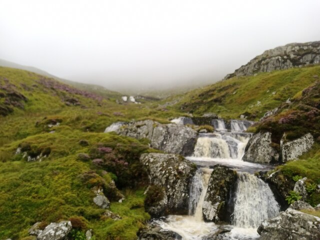
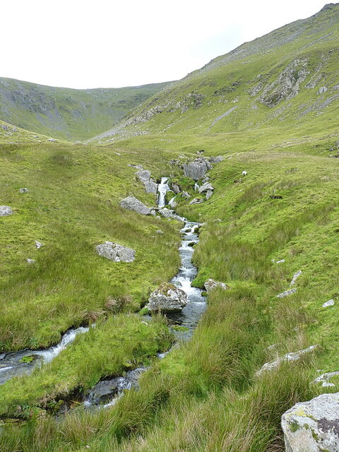
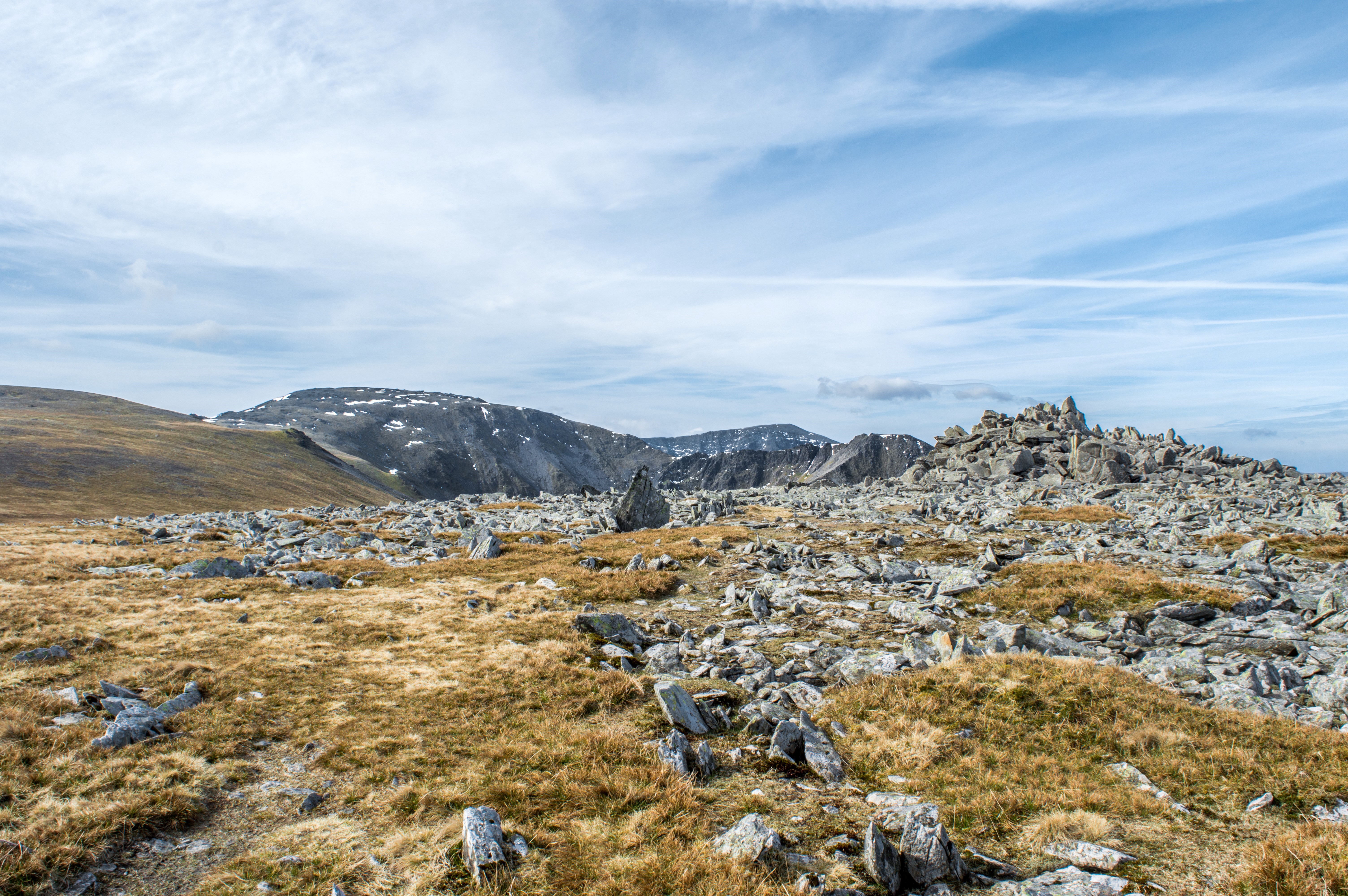
Bera Bach is a prominent hill located in the county of Caernarfonshire, Wales. Situated near the small village of Llanberis, it is part of the Snowdonia National Park, a region renowned for its stunning natural beauty and dramatic landscapes.

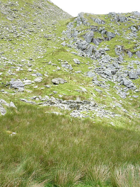
Standing at an elevation of approximately 1,114 feet (340 meters), Bera Bach offers breathtaking panoramic views of the surrounding countryside, including the majestic Snowdon, the highest peak in Wales. The hill is composed mainly of slate, a characteristic feature of the area, which gives it a rugged and distinctive appearance.

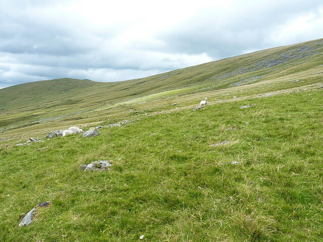
Bera Bach is a popular destination for outdoor enthusiasts and nature lovers. It offers a variety of walking and hiking trails that cater to different skill levels, making it accessible to both experienced climbers and casual walkers. The ascent to the summit is relatively moderate, providing a rewarding challenge without being overly demanding.

The hill is also home to a diverse range of flora and fauna, with heather, gorse, and bilberry bushes dotting its slopes. Birdwatchers can often spot species such as ravens, red kites, and peregrine falcons soaring through the skies above.

Due to its proximity to Llanberis, Bera Bach is conveniently accessible by road and public transport. The nearby village offers various amenities, including accommodation options, cafes, and outdoor activity providers, making it an ideal base for exploring the area.

Overall, Bera Bach is a picturesque and accessible hill that provides visitors with an opportunity to immerse themselves in the natural beauty of Snowdonia National Park.

If you have any feedback on the listing, please let us know in the comments section below.
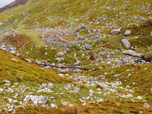
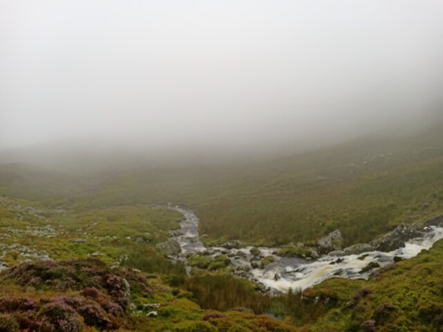
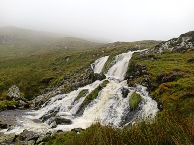
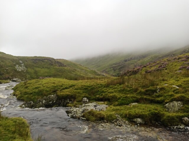
Bera Bach Images

Images are sourced within 2km of 53.18976/-3.9890651 or Grid Reference SH6767. Thanks to Geograph Open Source API. All images are credited.

Gorlan Ger Afon Goch
Rocky outcrop close to Llwytmor peak
Afon Goch
Afon Goch
Afon Goch waterfall
Afon Goch waterfall
Afon Goch
Afon Goch
Afon Goch small waterfall
The upper reaches of the Afon Caseg A view into the upper part of Cwm Caseg, where the stream comes down in a series of small cascades and falls.
The upper reaches of the Afon Caseg
A view into the upper part of Cwm Caseg, where the stream comes down in a series of small cascades and falls.
Unknown old building in Cwm Caseg Below the boulders and scree on the hillside, there's a small building about 50 yards in front of me here, which is loosely recorded by the Gwynedd Archaeological Trust <span class="nowrap"><a title="https://archwilio.org.uk/arch/query/page.php?watprn=GAT6848&dbname=gat&tbname=core" rel="nofollow ugc noopener" href="https://archwilio.org.uk/arch/query/page.php?watprn=GAT6848&dbname=gat&tbname=core">Link</a><img style="margin-left:2px;" alt="External link" title="External link - shift click to open in new window" src="https://s1.geograph.org.uk/img/external.png" width="10" height="10"/></span> as a sheepfold, but with an acknowledgement that "There is a possibility of medieval foundations below some of the structures"
Unknown old building in Cwm Caseg
Below the boulders and scree on the hillside, there's a small building about 50 yards in front of me here, which is loosely recorded by the Gwynedd Archaeological Trust LinkExternal link as a sheepfold, but with an acknowledgement that "There is a possibility of medieval foundations below some of the structures"
Bubbling spring One of several similar springs forming a bit of a line beneath the hillside of Carreg y Gath, all of which feed into the Afon Caseg. I didn't sample the water, but for sure it would have been cold, clean and fine to drink.
Bubbling spring
One of several similar springs forming a bit of a line beneath the hillside of Carreg y Gath, all of which feed into the Afon Caseg. I didn't sample the water, but for sure it would have been cold, clean and fine to drink.
The large sheepfold by the Afon Wen The same feature as <a href="https://www.geograph.org.uk/photo/1828459">SH6766 : Sheep Pen at Afon Wen</a>, no longer in regular use by the look of things, but relatively unchanged since that image was taken.
The large sheepfold by the Afon Wen
The same feature as SH6766 : Sheep Pen at Afon Wen, no longer in regular use by the look of things, but relatively unchanged since that image was taken.
The Afon Wen above the sheepfold
Ponies in Cwm Caseg A few members of the herd of 200-300 semi-feral ponies that are left to roam the Carneddau hills
Ponies in Cwm Caseg
A few members of the herd of 200-300 semi-feral ponies that are left to roam the Carneddau hills
Moorland in Cwm Caseg A view down much of the length of lower Cwm Caseg, with the hills of Foel Goch, Mynydd Perfedd and Carnedd y Filiast visible on the far side of the Nant Ffrancon valley.
Moorland in Cwm Caseg
A view down much of the length of lower Cwm Caseg, with the hills of Foel Goch, Mynydd Perfedd and Carnedd y Filiast visible on the far side of the Nant Ffrancon valley.
Sheep on the hillside below Bera Bach
Grassy moorland below Bera Bach
Looking back into Cwm Caseg
Carneddau ponies below Gyrn Wigau A small part of the herd, 200-300 strong, of semi-feral ponies which roam the Carneddau hills
Carneddau ponies below Gyrn Wigau
A small part of the herd, 200-300 strong, of semi-feral ponies which roam the Carneddau hills
Carneddau ponies below Gyrn Wigau Several adult ponies, one of them a mare with a foal, on the lower slopes of Gyrn Wigau.
Carneddau ponies below Gyrn Wigau
Several adult ponies, one of them a mare with a foal, on the lower slopes of Gyrn Wigau.
Show me another place!

Bera Bach is located at Grid Ref: SH6767 (Lat: 53.18976, Lng: -3.9890651)

Unitary Authority: Gwynedd

Police Authority: North Wales

What 3 Words

///sapping.ponies.renamed. Near Bethesda, Gwynedd

Nearby Locations

Bera Bach

Related Wikis

Gyrn Wigau

Gyrn Wigau is a summit of the Carneddau range in Snowdonia, Wales, and forms a part of the western Carneddau commonly known as the Beras. It is a top of...

Carnedd Gwenllian

Carnedd Gwenllian (named Y Garnedd Uchaf before 2009) is a minor summit of the Carneddau range in Snowdonia, Wales, and included in the Welsh 3000s. From...

Drosgl

Y Drosgl is a summit of the Carneddau range in Snowdonia, Wales, and forms a part of the western Carneddau, also known as the Berau, meaning 'stacks' or...

Llwytmor

Llwytmor is a satellite peak of Foel-fras, and forms a part of the Carneddau range. The summit is 849 metres (2,785 ft) above sea level and it contains...

Nearby Amenities

Located within 500m of 53.18976,-3.9890651
Bera Bach
Ele: 807
Natural: peak
Wikidata: Q4890955
Wikipedia: en:Bera Bach
Lat/Long: 53.1902242/-3.9882506
The data included in this document is from www.openstreetmap.org. The data is made available under ODbL.

Have you been to Bera Bach?

Leave your review of Bera Bach below (or comments, questions and feedback).