Allt-Fawr
Hill, Mountain in Caernarfonshire/Merionethshire
Wales
Allt-Fawr

The requested URL returned error: 429 Too Many Requests
If you have any feedback on the listing, please let us know in the comments section below.
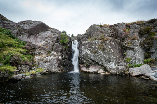
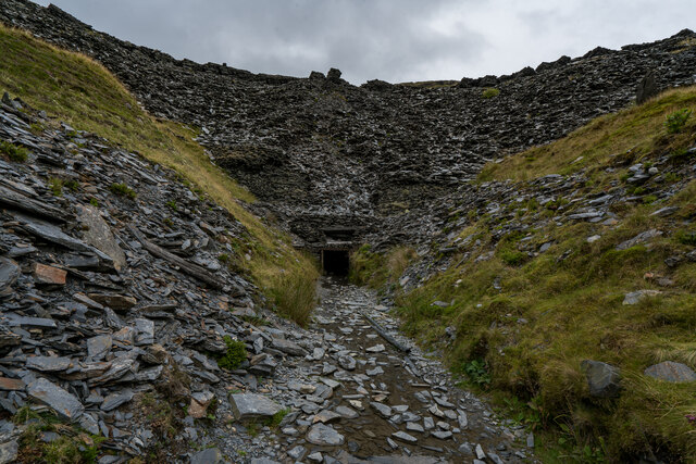
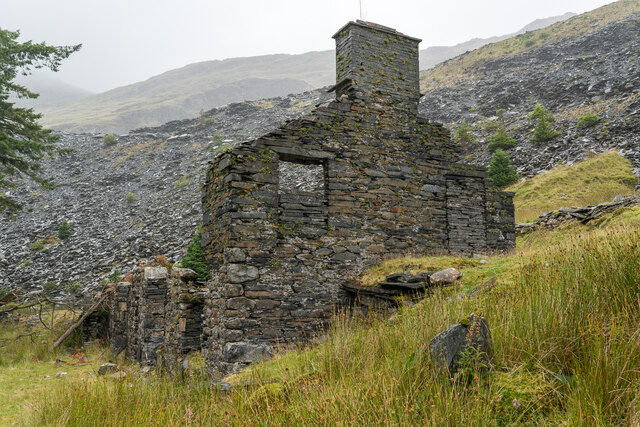
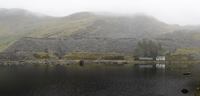
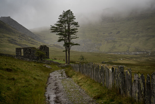
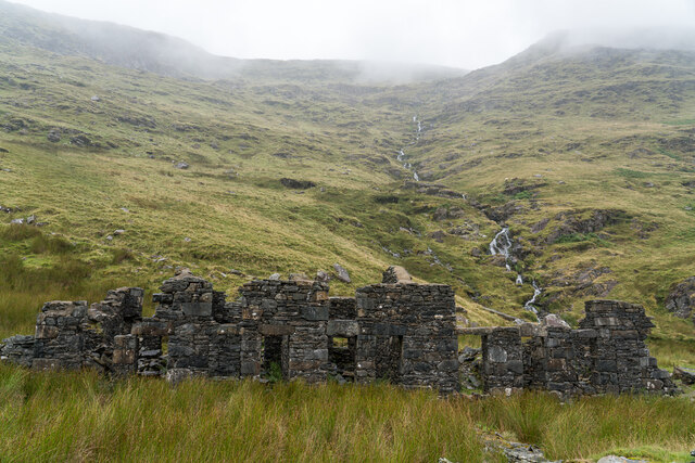
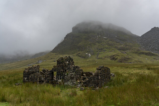
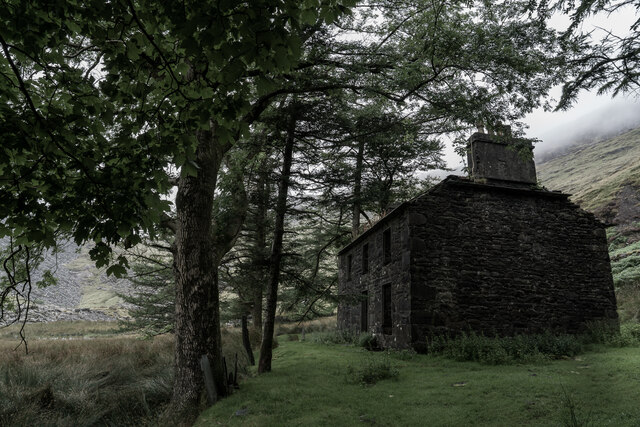
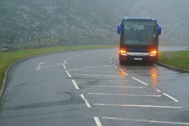
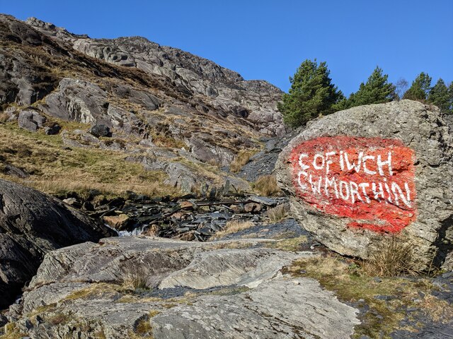
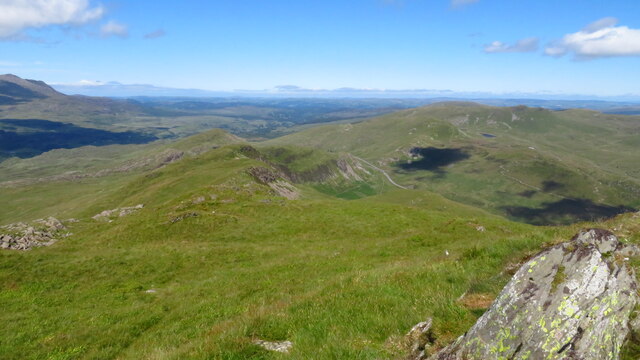
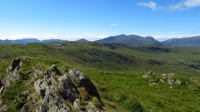
Allt-Fawr Images
Images are sourced within 2km of 53.007616/-3.9672624 or Grid Reference SH6847. Thanks to Geograph Open Source API. All images are credited.

Allt-Fawr is located at Grid Ref: SH6847 (Lat: 53.007616, Lng: -3.9672624)
Unitary Authority: Gwynedd
Police Authority: North Wales
What 3 Words
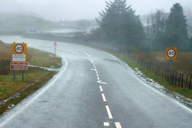
///blaring.apes.liquids. Near Blaenau-Ffestiniog, Gwynedd
Nearby Locations
Related Wikis

Allt-fawr
Allt-fawr is a mountain in Snowdonia, North Wales and forms part of the Moelwynion group. It is on the internal border of Snowdonia National Park, and...

Moel Druman
Moel Druman is a mountain in Snowdonia, North Wales and forms part of the Moelwynion. It is a subsidiary summit of Allt-fawr. == References == == External... ==
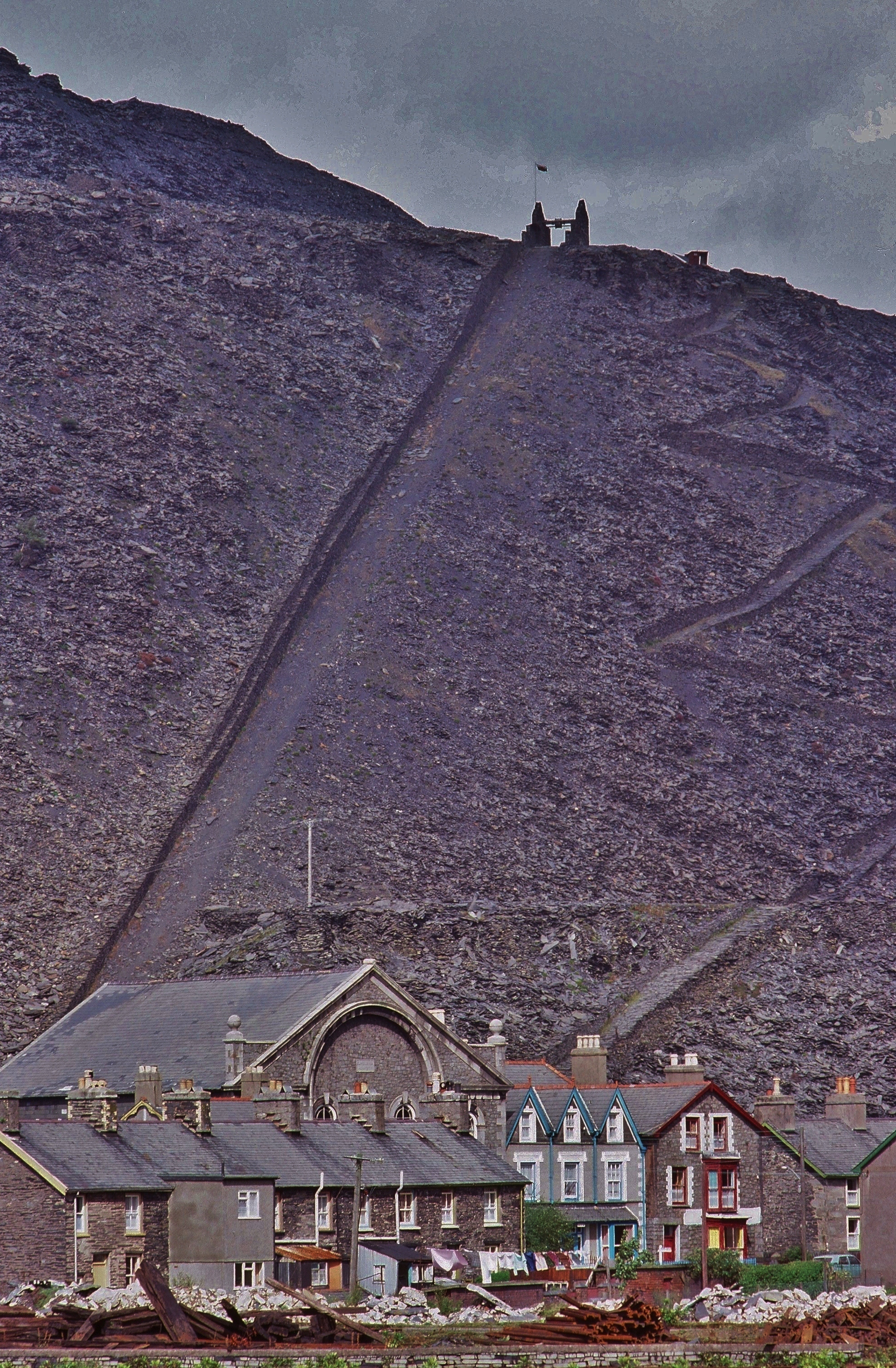
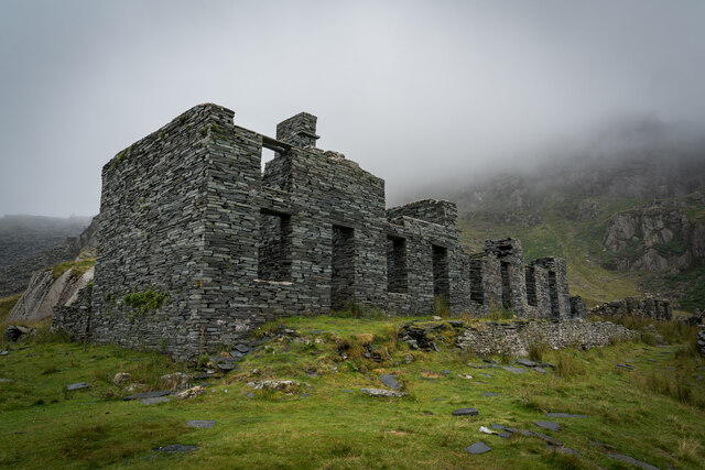
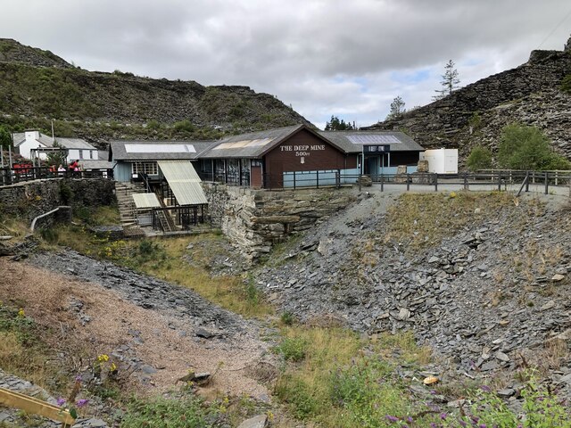
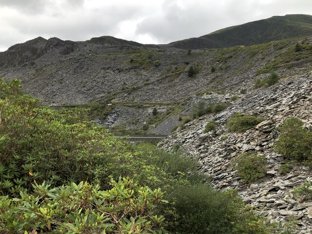
Oakeley quarry
Oakeley quarry is a slate quarry in the town of Blaenau Ffestiniog, north Wales. It was the largest underground slate mine in the world, and had 26 floors...
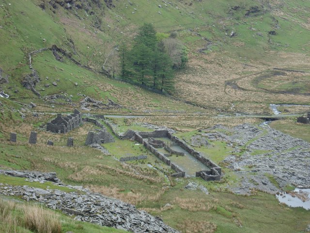
Conglog quarry
Conglog quarry was a small enterprise situated to the north-west of Tanygrisiau, near Blaenau Ffestiniog in Wales. It was overshadowed by the much bigger...
Nearby Amenities
Located within 500m of 53.007616,-3.9672624Have you been to Allt-Fawr?
Leave your review of Allt-Fawr below (or comments, questions and feedback).