Castell Talacharn

Heritage Site in Carmarthenshire

Wales

Castell Talacharn

Broadway I wonder what's playing??
Broadway Credit: Dara Jasumani

The requested URL returned error: 429 Too Many Requests

If you have any feedback on the listing, please let us know in the comments section below.

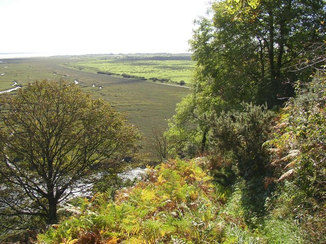
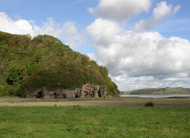
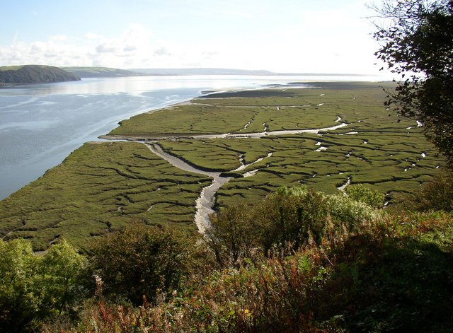
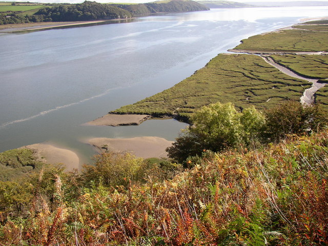
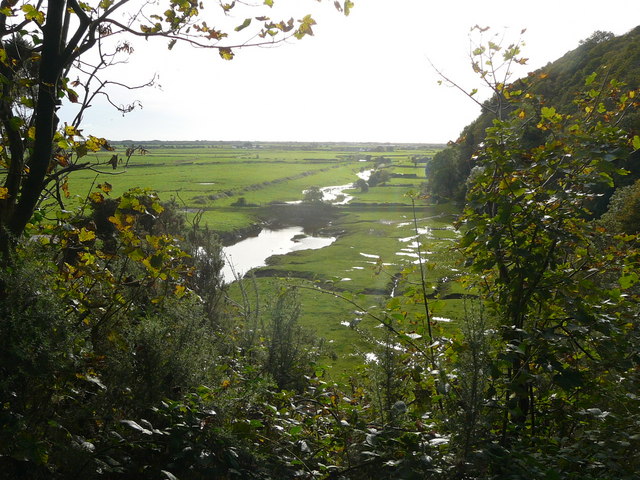
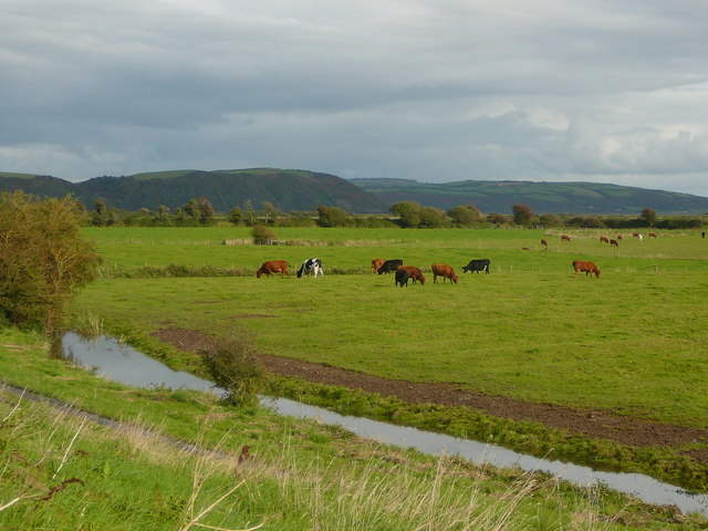
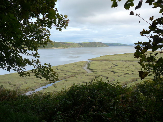
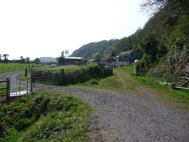
Castell Talacharn Images

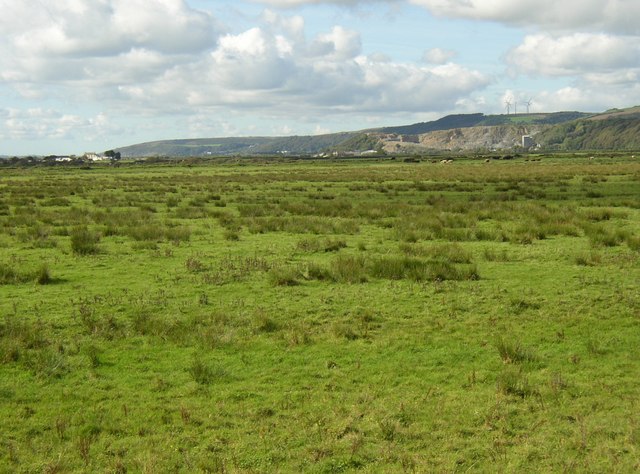
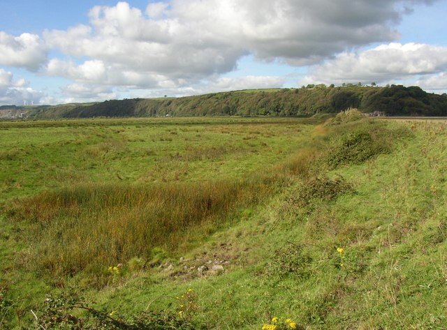
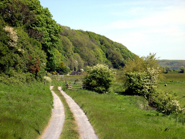
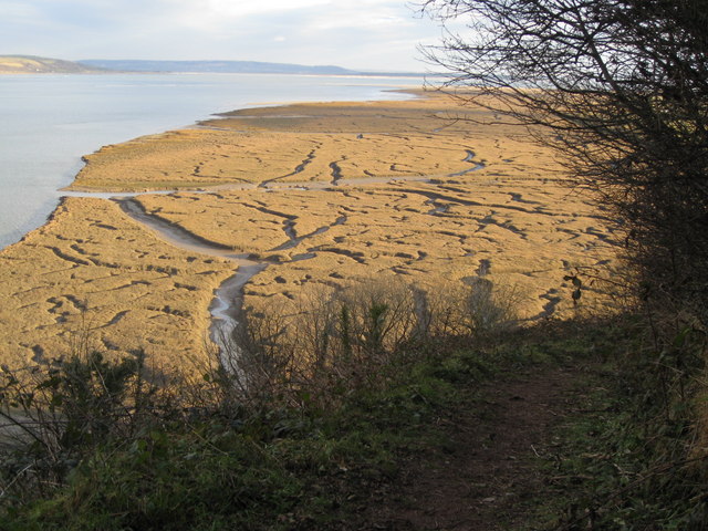
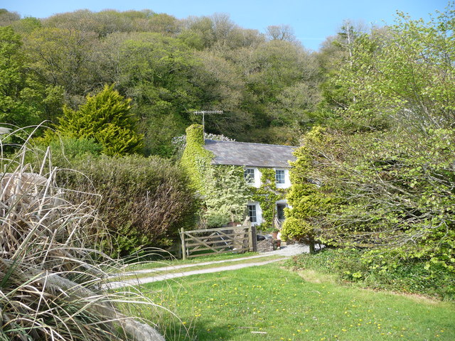
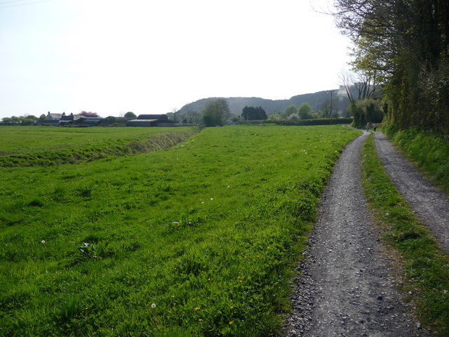
Images are sourced within 2km of 51.7696/-4.4621 or Grid Reference SN3010. Thanks to Geograph Open Source API. All images are credited.

Broadway I wonder what's playing??
Broadway
I wonder what's playing??
Bridge over Railsgate Pill, Laugharne The bridge has a very small waterway, presumably so that it can be blocked to prevent flooding due to very high tides.
Bridge over Railsgate Pill, Laugharne
The bridge has a very small waterway, presumably so that it can be blocked to prevent flooding due to very high tides.
Bend in the sea wall, Laugharne The sea wall is not straight, but has a gradual curve from the northern end and then a sharper bend.  It is an earth bank, protected by stone pitching on the seaward side.
Bend in the sea wall, Laugharne
The sea wall is not straight, but has a gradual curve from the northern end and then a sharper bend. It is an earth bank, protected by stone pitching on the seaward side.
Railsgate Pill, Laugharne This is the name of the watercourse.  The line of bushes on the left side probably marks the line of the tramway that carried limestone from the quarry at Coygan to boats below the bridge (from which this photograph was taken).
Railsgate Pill, Laugharne
This is the name of the watercourse. The line of bushes on the left side probably marks the line of the tramway that carried limestone from the quarry at Coygan to boats below the bridge (from which this photograph was taken).
Path down from Sir John's Hill, Laugharne This leads down to East Marsh.  The boundary between the drained part and the salt marsh, formed by the sea wall, can be clearly seen in the distance.
Path down from Sir John's Hill, Laugharne
This leads down to East Marsh. The boundary between the drained part and the salt marsh, formed by the sea wall, can be clearly seen in the distance.
Headland south of Laugharne Sir John's Hill is cut short by the Taff estuary.
Headland south of Laugharne
Sir John's Hill is cut short by the Taff estuary.
Salt marsh south of Laugharne An intricate pattern of channels.
Salt marsh south of Laugharne
An intricate pattern of channels.
Mouth of Railsgate Pill, Laugharne Although Railsgate Pill is hardly more than a drainage ditch for East Marsh, it has quite a broad mouth into the Taff Estuary.
Mouth of Railsgate Pill, Laugharne
Although Railsgate Pill is hardly more than a drainage ditch for East Marsh, it has quite a broad mouth into the Taff Estuary.
Lower Marsh Laugharne Marshland drained to make pasture.  Seen from the sea wall.  There is another embankment crossing the marsh in the distance, beyond which the land is called East Marsh. The limestone quarry at Coygan can be seen in the distance, and some wind turbines on the hill.
Lower Marsh Laugharne
Marshland drained to make pasture. Seen from the sea wall. There is another embankment crossing the marsh in the distance, beyond which the land is called East Marsh. The limestone quarry at Coygan can be seen in the distance, and some wind turbines on the hill.
Pond at the bend in the sea wall, Lower Marsh, Laugharne A pond on the map, but more a patch of rushes.  Presumably at the lowest point of the field.
Pond at the bend in the sea wall, Lower Marsh, Laugharne
A pond on the map, but more a patch of rushes. Presumably at the lowest point of the field.
Salthouse
Salthouse
A winter view - Salt marshes south of Laugharne A popular spot for a photograph of the wonderful meanderings of the creeks across the salt marshes, but the difference in colours from summer to winter are to be appreciated here. The summer view is at <a href="https://www.geograph.org.uk/photo/596335">SN3009 : Salt marsh south of Laugharne</a>
A winter view - Salt marshes south of Laugharne
A popular spot for a photograph of the wonderful meanderings of the creeks across the salt marshes, but the difference in colours from summer to winter are to be appreciated here. The summer view is at SN3009 : Salt marsh south of Laugharne
Salt marshes, Laugharne Township
Cattle grazing on salt marsh, west of Salt House Farm
Salt marshes bordering the western side of the River Taf
Footpath by-passing Salt House Farm This gate takes walkers outside the farm yard.
Footpath by-passing Salt House Farm
This gate takes walkers outside the farm yard.
Salt House Farm, Laugharne A pretty idyllic looking farm house overlooking pasture and salt marsh just outside Laugharne.
Salt House Farm, Laugharne
A pretty idyllic looking farm house overlooking pasture and salt marsh just outside Laugharne.
Walkers near Causeway Farm, near Laugharne This footpath follows the field edge alongside rich grazing.
Walkers near Causeway Farm, near Laugharne
This footpath follows the field edge alongside rich grazing.
Show me another place!

Castell Talacharn is located at Grid Ref: SN3010 (Lat: 51.7696, Lng: -4.4621)

Unitary Authority: Carmarthenshire

Police Authority: Dyfed Powys

Also known as: Laugharne Castle

What 3 Words

///sensible.amid.munch. Near Llansteffan, Carmarthenshire

Related Wikis

Laugharne Castle

Laugharne Castle (Welsh: Castell Talacharn) is in Laugharne, Carmarthenshire, Wales. The castle, located on the estuary of the River Tâf, was originally...

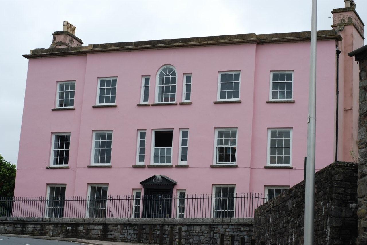
Castle House, Laugharne

Castle House in Laugharne, Carmarthenshire, Wales, is a Grade II*–listed Georgian mansion. Described by Dylan Thomas as “the best of houses in the best...

Laugharne

Laugharne (Welsh: Talacharn) is a town on the south coast of Carmarthenshire, Wales, lying on the estuary of the River Tâf. The ancient borough of Laugharne...

Laugharne Town Hall

Laugharne Town Hall (Welsh: Neuadd y Dref Talacharn) is a municipal building in Market Street in Laugharne, Carmarthenshire, Wales. The structure, which...

Nearby Amenities

Located within 500m of 51.7696,-4.4621
Source: PGS
Lat/Long: 51.7663104/-4.4579654
Source: PGS
Lat/Long: 51.7665075/-4.4583746
Source: PGS
Lat/Long: 51.7665291/-4.4585549
Source: PGS
Lat/Long: 51.7666318/-4.4590422
Source: PGS
Lat/Long: 51.7669192/-4.4591946
Source: PGS
Lat/Long: 51.767368/-4.4614587
Source: PGS
Lat/Long: 51.767438/-4.4618996
Source: PGS
Lat/Long: 51.7680219/-4.4619581
Source: PGS
Lat/Long: 51.7687095/-4.4626314
Source: PGS
Lat/Long: 51.7693989/-4.4604619
Source: PGS
Lat/Long: 51.7706292/-4.459071
Source: PGS
Lat/Long: 51.7707889/-4.4587905
Source: PGS
Lat/Long: 51.7711922/-4.4581686
Source: PGS
Lat/Long: 51.7711977/-4.4579857
Source: PGS
Lat/Long: 51.7716895/-4.4571206
Laugharne
Alt Name: Talacharn
Name Cy: Talacharn
Place: town
Population: 817
Wikidata: Q1965490
Lat/Long: 51.770035/-4.4647048
Barrier: bollard
Bicycle: yes
Foot: yes
Lat/Long: 51.7678273/-4.4625577
Post Office
Laugharne Post Office
Addr City: Carmarthen
Addr Country: GB
Addr Postcode: SA33 4QE
Addr Street: Kings Street
Addr Village: Laugharne
Brand: Post Office
Brand Wikidata: Q1783168
Opening Hours: Mo-Fr 08:30-17:00; Sa 08:30-12:00
Ref Pol Id: 5478
Website: https://www.postoffice.co.uk/branch-finder/1826131/laugharne
Lat/Long: 51.7713839/-4.4626335
Pharmacy
The Pharmacy, Laugharne Post Office
Addr Postcode: SA33 4QE
Dispensing: yes
Healthcare: pharmacy
Source: http://www.wales.nhs.uk/sitesplus/862/directory/pharmacies/627A
Lat/Long: 51.7714146/-4.4626379
Waste Basket
Lat/Long: 51.7692455/-4.4636832
Bench
Backrest: no
Lat/Long: 51.7692725/-4.4637068
Bench
Backrest: no
Lat/Long: 51.7693325/-4.4637603
Give Way
Direction: forward
Lat/Long: 51.7693481/-4.4639728
Ford: yes
Lat/Long: 51.7691441/-4.4626911
Collection Times: Mo-Fr 17:00; Sa 11:00
Disused Amenity: post_box
Note: box is stopped up
Operator: Royal Mail
Post Box Design: ludlow
Post Box Type: wall
Ref: SA33 59
Royal Cypher: GVIR
Source: survey
Lat/Long: 51.7714421/-4.4625853
The Grist Cross
Artist Name: G. Williams
Historic: market_cross
Inscription: This New Cross was placed on the Old base 1911, G Williams, Sculptor, Laugharne
Listed Status: Grade II
Lat/Long: 51.7693122/-4.4642687
Defibrillator
Emergency: defibrillator
Indoor: no
Lat/Long: 51.773856/-4.4631455
Cartref Dylan Thomas - Dylan Thomas Boathouse
Addr City: Laugharne
Addr Housename: Dylan Thomas Boathouse
Addr Postcode: SA33 4SD
Addr Street: Dylans Walk
Contact Facebook: https://www.facebook.com/CofGar
Email: info@cofgar.wales
Museum: history
Tourism: museum
Website: https://cofgar.wales/
Lat/Long: 51.7722122/-4.4562055
Clwb Rygbi Talacharn
Addr City: Laugharne
Addr Postcode: SA33 4TE
Addr Street: Cwrt Wooford
Club: sport
Name Cy: Clwb Rygbi Talacharn
Name En: Laugharne RFC
Operator: Laugharne R.F.C.
Phone: +44 1994 427 392
Rugby: union
Sport: rugby
Website: https://laugharne.rfc.wales/
Wikidata: Q16932226
Wikipedia: en:Laugharne RFC
Lat/Long: 51.768217/-4.4683811
Power: pole
Lat/Long: 51.7707247/-4.4660524
Power: pole
Lat/Long: 51.7711064/-4.4671869
Entrance: yes
Lat/Long: 51.7695666/-4.4639538
Entrance: yes
Lat/Long: 51.7694344/-4.4642191
Entrance: yes
Lat/Long: 51.7694319/-4.464358
Dylan Thomas
Artist Name: Simon Hedger
Artwork Type: statue
Material: wood
Tourism: artwork
Lat/Long: 51.7688073/-4.4631858
Bench
Lat/Long: 51.7687792/-4.4631161
Bench
Lat/Long: 51.7687508/-4.4630838
Bench
Lat/Long: 51.768717/-4.4630434
Entrance: yes
Lat/Long: 51.7701928/-4.4622238
Entrance: yes
Lat/Long: 51.7703549/-4.4620337
Entrance: yes
Lat/Long: 51.7710072/-4.4624591
Barrier: bollard
Lat/Long: 51.7691676/-4.4626033
Barrier: bollard
Lat/Long: 51.7691702/-4.462575
Barrier: bollard
Lat/Long: 51.7691737/-4.4625469
Entrance: yes
Lat/Long: 51.7692326/-4.4642801
Telephone
Defibrillator
Booth: K6
Covered: booth
Defibrillator Location: inside old red telephone box, King Street, Laugharne
Emergency: defibrillator
Listed Status: Grade II
Man Made: telephone_box
Old Phone: +44 1994 427301
Source: Listed buildings register
Lat/Long: 51.7717324/-4.4625034
Entrance: yes
Lat/Long: 51.7709134/-4.462221
Entrance: yes
Lat/Long: 51.7703827/-4.461132
Entrance: yes
Lat/Long: 51.7717116/-4.4623509
Sarah's at Laugharne Unisex Hair Salon
Facebook: https://www.facebook.com/Sarahs-at-laugharne-hairdressing-and-beauty-854710774566583/
Phone: +441994427881
Shop: hairdresser
Lat/Long: 51.7718371/-4.4625013
Historic: memorial
Memorial: war_memorial
Lat/Long: 51.7737843/-4.4631862
Barrier: stile
Material: stone
Stile: stepover
Lat/Long: 51.7718268/-4.4571902
Waste Basket
Lat/Long: 51.769067/-4.4627854
Bench
Lat/Long: 51.7662869/-4.4603131
Information: board
Tourism: information
Lat/Long: 51.7663186/-4.4603341
Post Box
Post Box Type: lamp
Lat/Long: 51.7716625/-4.4624763
Barrier: kissing_gate
Lat/Long: 51.7722172/-4.4593121
Information: board
Tourism: information
Lat/Long: 51.7713482/-4.4584168
Waste Basket
Lat/Long: 51.7713344/-4.4584451
Bench
Lat/Long: 51.7713258/-4.4585392
Bench
Lat/Long: 51.7713113/-4.4585687
Bench
Lat/Long: 51.77129/-4.4585971
Direction: 195
Generator Method: photovoltaic
Generator Output Electricity: yes
Generator Solar Modules: 14
Generator Source: solar
Generator Type: solar_photovoltaic_panel
Location: roof
Power: generator
Lat/Long: 51.7705064/-4.4614899
Direction: 215
Generator Method: photovoltaic
Generator Output Electricity: yes
Generator Solar Modules: 5
Generator Source: solar
Generator Type: solar_photovoltaic_panel
Location: roof
Power: generator
Lat/Long: 51.7704886/-4.4602776
Direction: 215
Generator Method: photovoltaic
Generator Output Electricity: yes
Generator Solar Modules: 5
Generator Source: solar
Generator Type: solar_photovoltaic_panel
Location: roof
Power: generator
Lat/Long: 51.770528/-4.4603634
The data included in this document is from www.openstreetmap.org. The data is made available under ODbL.

Have you been to Castell Talacharn?

Leave your review of Castell Talacharn below (or comments, questions and feedback).