Priordy Ewenni
Heritage Site in Glamorgan
Wales
Priordy Ewenni
The requested URL returned error: 429 Too Many Requests
If you have any feedback on the listing, please let us know in the comments section below.
Priordy Ewenni Images
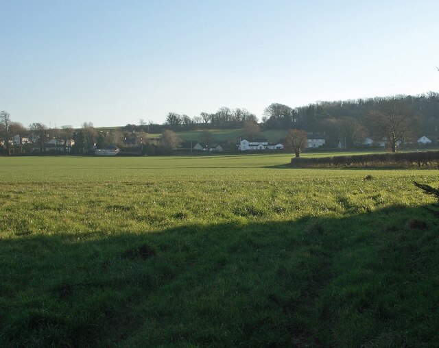
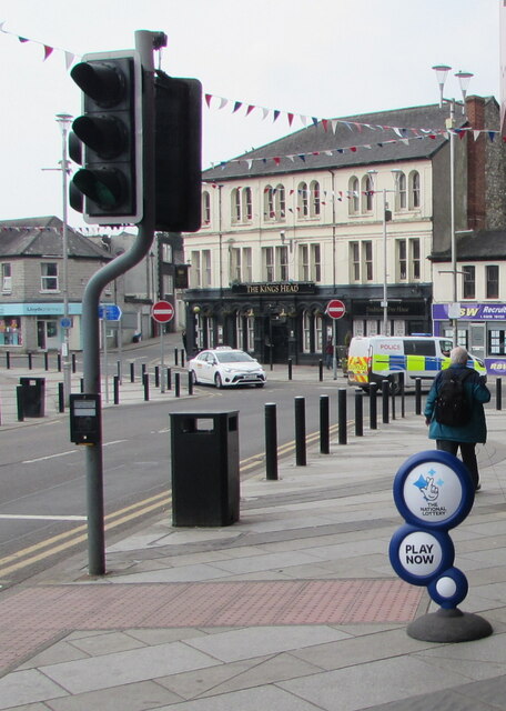
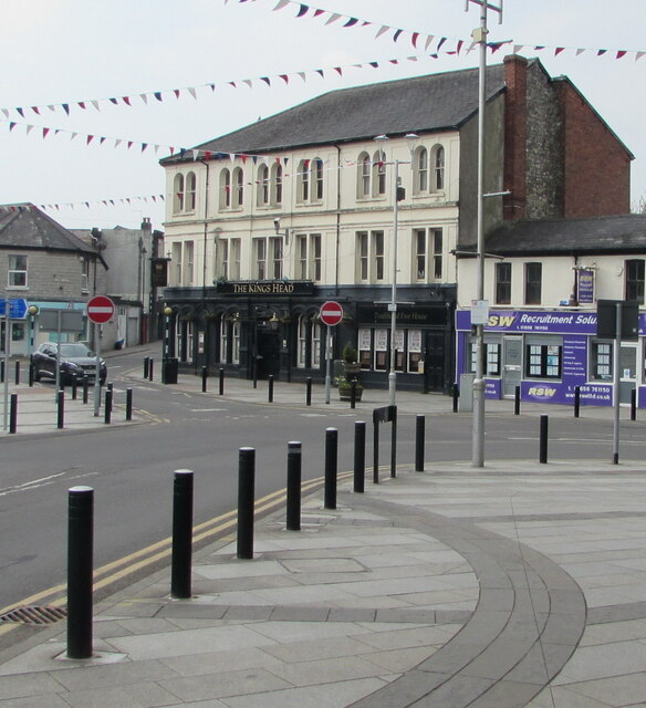
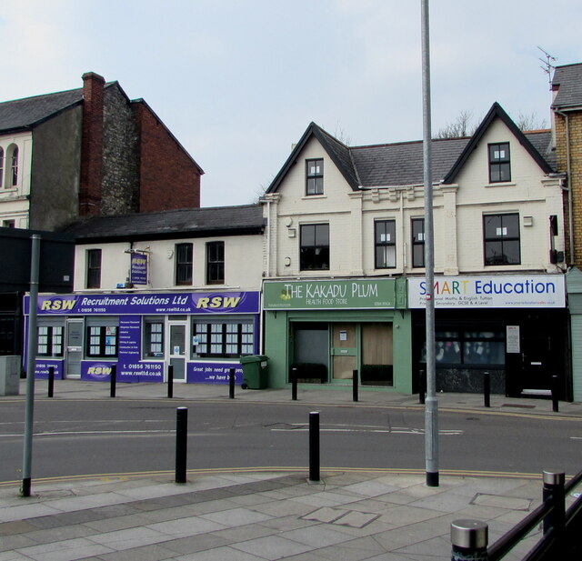
Images are sourced within 2km of 51.4888/-3.5676 or Grid Reference SS9177. Thanks to Geograph Open Source API. All images are credited.


Priordy Ewenni is located at Grid Ref: SS9177 (Lat: 51.4888, Lng: -3.5676)
Unitary Authority: The Vale of Glamorgan
Police Authority: South Wales
Also known as: Ewenny Priory
What 3 Words
///roofs.guard.waving. Near Bridgend
Nearby Locations
Related Wikis
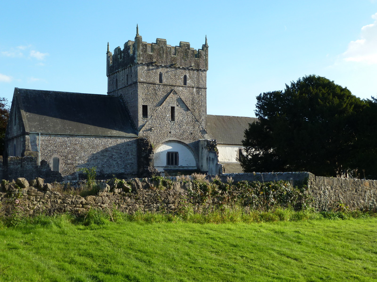
Ewenny Priory
Ewenny Priory (Welsh: Priordy Ewenni), in Ewenny in the Vale of Glamorgan, Wales, was a monastery of the Benedictine order, founded in the 12th century...

Ewenny Priory House
Ewenny Priory House is a privately owned Georgian mansion located immediately to the south of Ewenny Priory church, at Ewenny, Vale of Glamorgan, Wales...

Corntown
Corntown (Welsh: Corntwn) is a small village in the Vale of Glamorgan. It lies along the B4524 road, just outside Bridgend, 21.6 miles (34.8 km) west of...
Ewenny
Ewenny (Welsh: Ewenni) is a village and community (parish) on the River Ewenny in the Vale of Glamorgan, Wales. Over the years the village has grown into...
Nearby Amenities
Located within 500m of 51.4888,-3.5676Have you been to Priordy Ewenni?
Leave your review of Priordy Ewenni below (or comments, questions and feedback).