Allen's Green
Settlement in Hertfordshire East Hertfordshire
England
Allen's Green
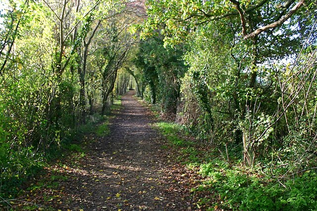
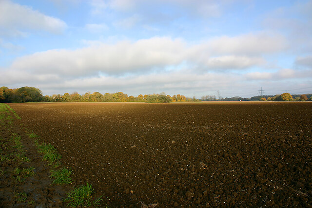
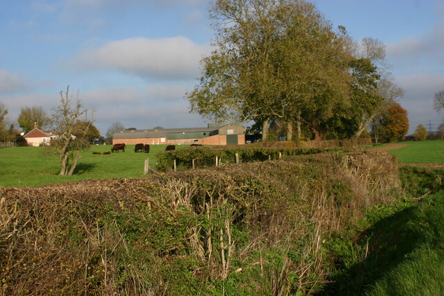
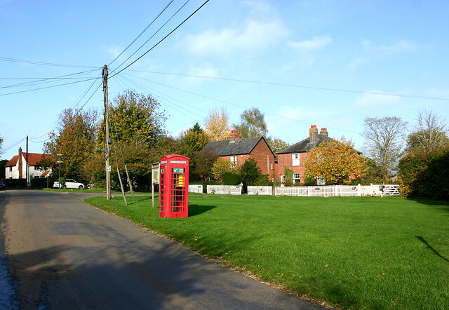
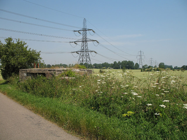
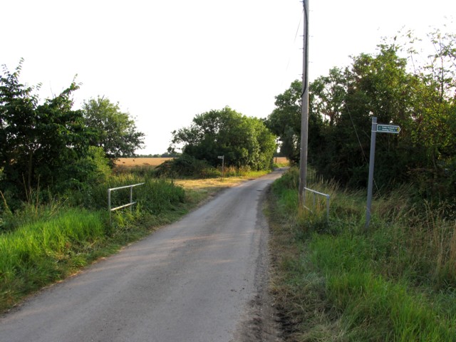
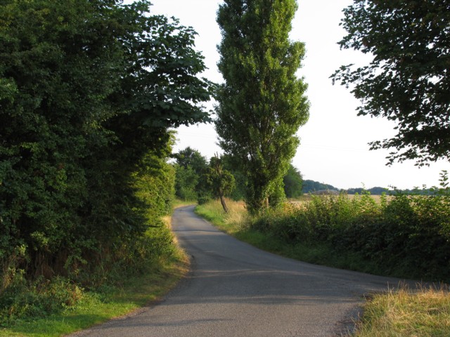
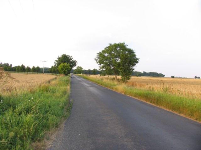
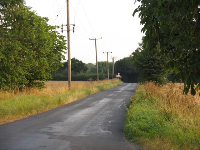
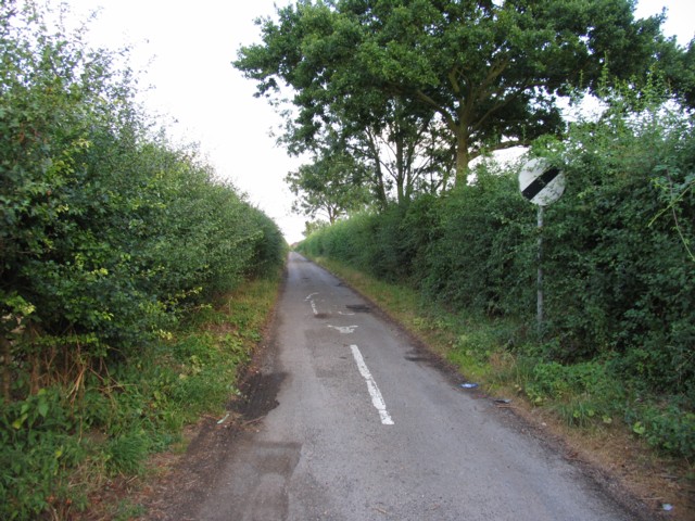
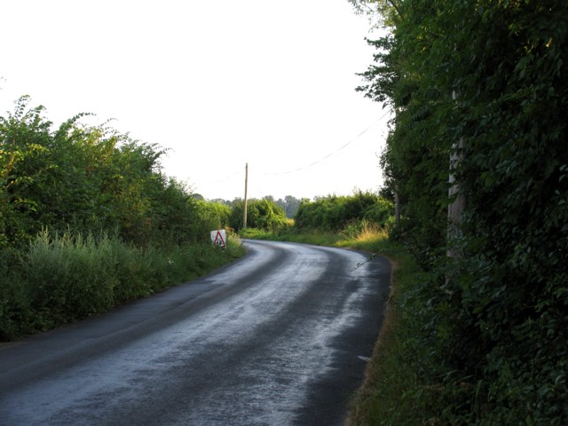
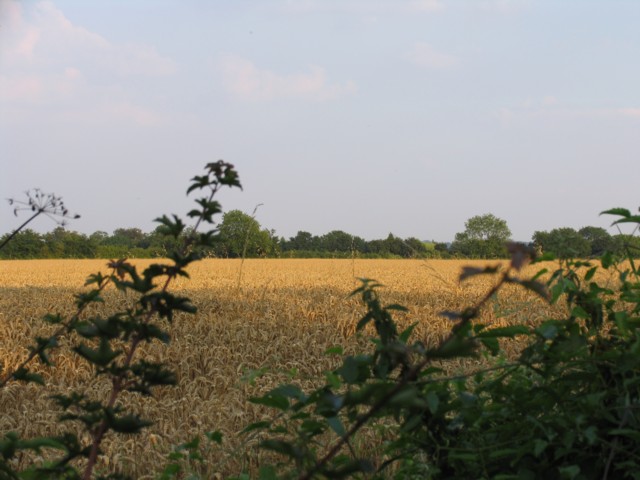
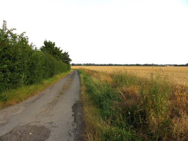
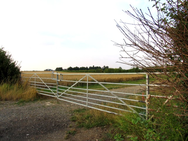
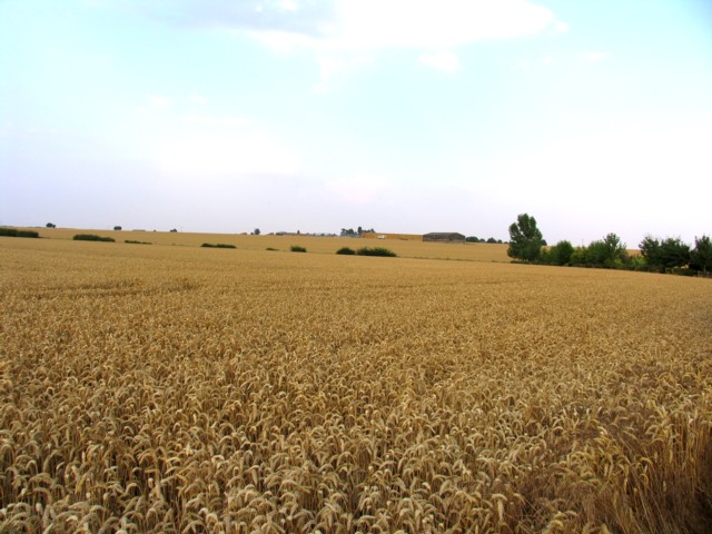
Allen's Green is a small village located in the county of Hertfordshire, England. Situated approximately 5 miles east of the town of Ware, its rural setting offers a peaceful and picturesque environment. The village is surrounded by open fields, farmland, and patches of woodland, providing residents with a tranquil and idyllic living experience.
With a population of around 300 people, Allen's Green is a close-knit community known for its strong sense of community spirit. The village features a mix of traditional and modern housing, ranging from charming cottages to more contemporary homes. The village's architecture reflects its rich history, with some buildings dating back to the 17th century.
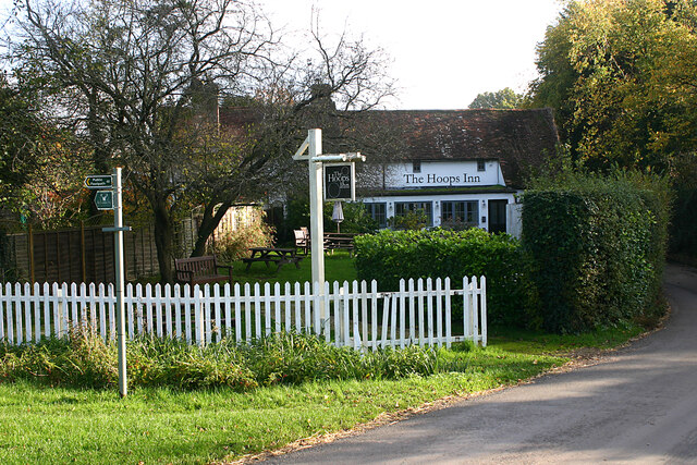
Despite its small size, Allen's Green offers a range of amenities to cater to its residents' needs. The village has a local pub, The Prince of Wales, which serves as a social hub for both locals and visitors alike. Additionally, there is a village hall that hosts various community events and gatherings throughout the year.
Nature enthusiasts will appreciate the village's proximity to the surrounding countryside, offering numerous opportunities for outdoor activities such as hiking, cycling, and wildlife spotting. The nearby River Rib also provides a picturesque setting for fishing and leisurely walks along its banks.
Overall, Allen's Green is a charming village that combines rural tranquility with a strong sense of community. Its picturesque setting, historic architecture, and welcoming atmosphere make it an attractive place to live for those seeking a peaceful countryside lifestyle.
If you have any feedback on the listing, please let us know in the comments section below.
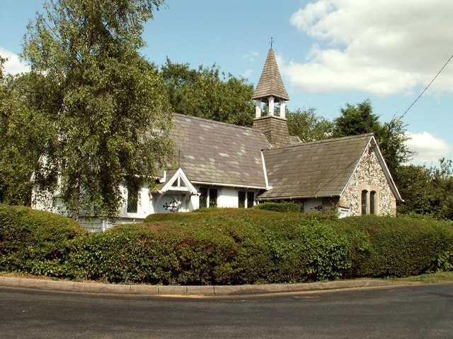
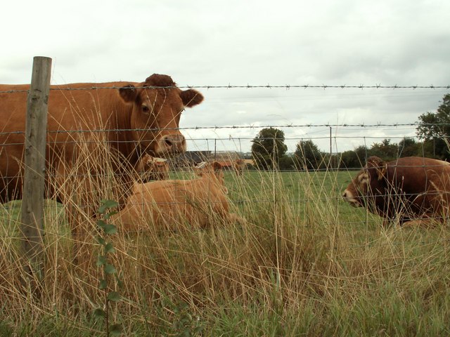
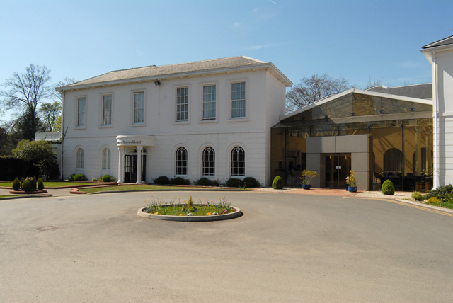
Allen's Green Images
Images are sourced within 2km of 51.831553/0.114542 or Grid Reference TL4516. Thanks to Geograph Open Source API. All images are credited.
Allen's Green is located at Grid Ref: TL4516 (Lat: 51.831553, Lng: 0.114542)
Administrative County: Hertfordshire
District: East Hertfordshire
Police Authority: Hertfordshire
What 3 Words
///chains.pans.joke. Near Sawbridgeworth, Hertfordshire
Nearby Locations
Related Wikis

RAF Sawbridgeworth
Royal Air Force Sawbridgeworth or more simply RAF Sawbridgeworth is a former Royal Air Force station located 5.2 miles (8.4 km) north of Harlow, Essex...

Allen's Green
Allen's Green is a village in Hertfordshire, England. == External links == Media related to Allen's Green at Wikimedia Commons

Henry Moore Foundation
The Henry Moore Foundation is a registered charity in England, established for education and promotion of the fine arts — in particular, to advance understanding...
Manor of Groves
The Manor of Groves Hotel (formerly Grove Lodge) in High Wych, near Sawbridgeworth in Hertfordshire is a building of historical significance and is listed...

Perry Green, Hertfordshire
Perry Green is a scattered hamlet in Hertfordshire, England, near Much Hadham. The sculptor Henry Moore settled there in 1941. His house Hoglands now forms...

High Wych
High Wych is a village and civil parish in the East Hertfordshire district of Hertfordshire, England. The village is located a little over one mile south...
Sawbridgeworth Town F.C.
Sawbridgeworth Town Football Club is an English football club based in Sawbridgeworth, Hertfordshire. The club are currently members of the Spartan South...
The Leventhorpe School
Leventhorpe School is a mixed, 11-19 secondary school and sixth form in the town of Sawbridgeworth, Hertfordshire. The school became an academy in August...
Nearby Amenities
Located within 500m of 51.831553,0.114542Have you been to Allen's Green?
Leave your review of Allen's Green below (or comments, questions and feedback).