Abaty Cymer

Heritage Site in Merionethshire

Wales

Abaty Cymer

Llyn Cynwch Cader Idris in the background.
Llyn Cynwch Credit: John H Darch

Abaty Cymer, located in Merionethshire, Wales, is a historical heritage site known for its ancient Cistercian monastery ruins. Situated in the picturesque Dysynni Valley near the village of Llanelltyd, the abbey dates back to the 12th century and holds significant religious and historical importance.

Founded in 1198 by Maredudd ap Cynan, Abaty Cymer was established as a daughter house of Citeaux Abbey in France. The monastery played a crucial role in the region's religious and cultural development, acting as a center of learning, agriculture, and spirituality. Over the centuries, the abbey flourished and expanded, becoming a prominent institution in the area.

Today, visitors can explore the remains of Abaty Cymer, which include the remains of the church, cloister, and domestic buildings. The church, built in a traditional cruciform layout, offers a glimpse into the architectural grandeur of the past. Although only fragments of the original structure remain, the intricate stonework and Gothic arches provide a sense of the abbey's former glory.

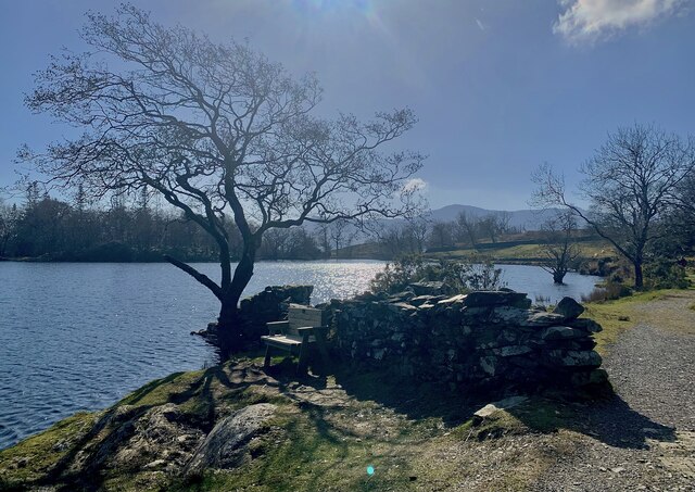
Surrounded by lush greenery and the tranquil landscapes of the Dysynni Valley, Abaty Cymer offers a serene and peaceful atmosphere for those seeking historical and spiritual connection. The site is well-preserved and maintained by Cadw, the Welsh Government's historic environment service, ensuring its protection for future generations.

Abaty Cymer is not only a heritage site but also an important symbol of Wales' religious and cultural heritage. Its historical significance, architectural beauty, and picturesque location make it a must-visit destination for history enthusiasts, nature lovers, and those seeking a peaceful retreat.

If you have any feedback on the listing, please let us know in the comments section below.

Abaty Cymer Images

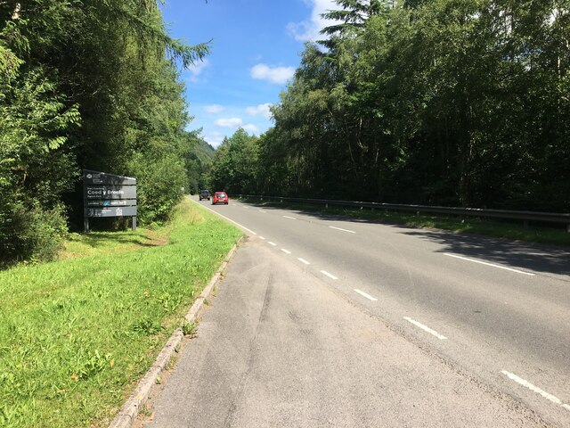
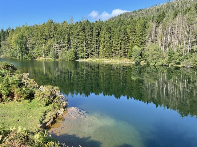
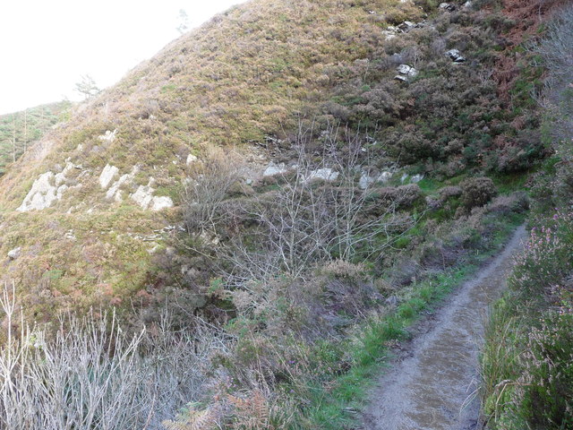
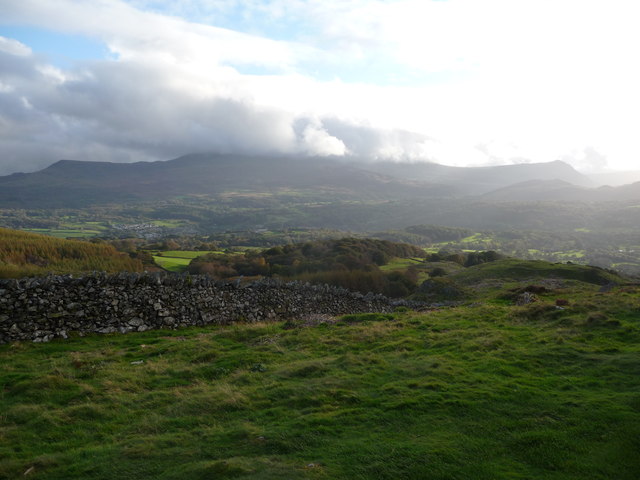
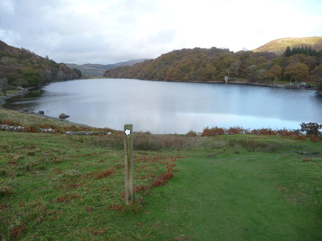
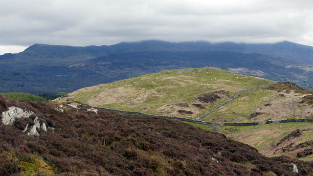
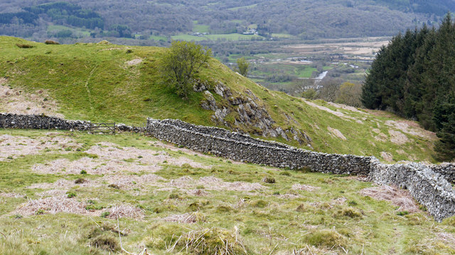
Images are sourced within 2km of 52.7581/-3.8962 or Grid Reference SH7219. Thanks to Geograph Open Source API. All images are credited.

Llyn Cynwch Cader Idris in the background.
Llyn Cynwch
Cader Idris in the background.
Llyn Cynwch & Cadair Idris A place to linger on the famous Precipice Walk.
Llyn Cynwch & Cadair Idris
A place to linger on the famous Precipice Walk.
A470 near Coed y Brenin
Llyn Tan-y-Graig A spectacular September morning shows the lake off at its very best.
Llyn Tan-y-Graig
A spectacular September morning shows the lake off at its very best.
Cadair Idris a Llyn Tan-y-Graig The morning mist and cloud is fast burning off the summits of Cadair Idris, as the sun takes hold on a beautifully warm early September morning.
Cadair Idris a Llyn Tan-y-Graig
The morning mist and cloud is fast burning off the summits of Cadair Idris, as the sun takes hold on a beautifully warm early September morning.
Dying larches, Llyn Tan-y-Graig Unfortunately, many of the larch trees in these forests are dying or already dead, thanks to the rapid spread of the Phytophthora ramorum fungus. There will be major felling over the winter, and this view will soon be gone.
Dying larches, Llyn Tan-y-Graig
Unfortunately, many of the larch trees in these forests are dying or already dead, thanks to the rapid spread of the Phytophthora ramorum fungus. There will be major felling over the winter, and this view will soon be gone.
The south-west slopes of Foel Faner Looking to the Afon Mawddach estuary.
The south-west slopes of Foel Faner
Looking to the Afon Mawddach estuary.
Little re-entrant on the Precipice Walk An amusing little feature on the walk.
Little re-entrant on the Precipice Walk
An amusing little feature on the walk.
Part of the Precipice Walk above Dolgellau The walk offers great views westards in late afternoon or evening, depending on the season, and the weather.
Part of the Precipice Walk above Dolgellau
The walk offers great views westards in late afternoon or evening, depending on the season, and the weather.
Cadair Idris from the Precipice Walk Majestic, beautiful, inspiring - this view has it all. Though it's not quite as good as the view from that ridgeline...
Cadair Idris from the Precipice Walk
Majestic, beautiful, inspiring - this view has it all. Though it's not quite as good as the view from that ridgeline...
Llyn Cynwch A tranquil setting for a reservoir and a lovely walk.
Llyn Cynwch
A tranquil setting for a reservoir and a lovely walk.
Foel Faner Foel Faner is a lesser top of the hill, Foel Cynwch and is seen from the ridge south of the summit of that hill. The cloud-shadowed and misted mountain range in the distance is Cadair Idris.
Foel Faner
Foel Faner is a lesser top of the hill, Foel Cynwch and is seen from the ridge south of the summit of that hill. The cloud-shadowed and misted mountain range in the distance is Cadair Idris.
Walls beside Coed Dol-fawr The declining south-west ridge of Foel Cynwch has a tapering finger of moorland that eventually gives way to farmland and woods. The walls seen here are adjacent to one of those woods.
Walls beside Coed Dol-fawr
The declining south-west ridge of Foel Cynwch has a tapering finger of moorland that eventually gives way to farmland and woods. The walls seen here are adjacent to one of those woods.
A470 north from Llanelltyd
A470 near Maes Mawr
A470 near Maes Mawr
A470 northbound
A470 northbound
A470 northbound
A470 northbound
Afon Mawddach In between Coed Y Brenin and Dolgellau
Afon Mawddach
In between Coed Y Brenin and Dolgellau
Show me another place!

Abaty Cymer is located at Grid Ref: SH7219 (Lat: 52.7581, Lng: -3.8962)

Unitary Authority: Gwynedd

Police Authority: North Wales

Also known as: Cymer Abbey

What 3 Words

///above.hurricane.lizards. Near Dolgellau, Gwynedd

Related Wikis

Cymer Abbey

Cymer Abbey (Welsh: Abaty Cymer) is a ruined Cistercian abbey near the village of Llanelltyd, just north of Dolgellau, Gwynedd, in north-west Wales, United...

Llanelltyd

Llanelltyd (Welsh: Llanelltyd) is a small village and community in Gwynedd, to the northwest of Dolgellau. The community population taken at the 2011 Census...

Hengwrt

Hengwrt (English: Old Court) was a mansion near Dolgellau in Meirionnydd, Gwynedd. It lay in the parish of Llanelltyd near the confluence of the River...

River Wnion

The River Wnion is a river in the southeast of Gwynedd, Wales. It begins high on the slopes of Aran Benllyn about five miles south of Lanuwchllyn and...

Dolgellau transmitting station

The Dolgellau transmitting station is a broadcasting and telecommunications facility located on a hill about 1 km north of the town of Dolgellau, in Gwynedd...

Coleg Meirion-Dwyfor

Coleg Meirion-Dwyfor (meaning in English "Meirion-Dwyfor College"), also known as CMD, is a college in Gwynedd, Wales with its main campus in Dolgellau...

Dr Williams' School

Dr Williams' School was a school founded in Dolgellau in 1875. It opened its doors in 1878 and continued until it was closed in 1975.Samuel Holland was...

Dolgellau Athletic A.F.C.

Dolgellau Athletic A.F.C. are a Welsh football club based in Dolgellau, Wales. They have a reserve team playing in the Aberystwyth League Division One...

Nearby Amenities

Located within 500m of 52.7581,-3.8962
Llanelltyd
Place: village
Source: npe
Wikidata: Q3399931
Lat/Long: 52.7590277/-3.9033418
Barrier: cattle_grid
Lat/Long: 52.762364/-3.894308
Barrier: bollard
Bicycle: designated
Foot: designated
Horse: yes
Motor Vehicle: no
Lat/Long: 52.7565576/-3.9015382
Barrier: bollard
Bicycle: designated
Foot: designated
Motor Vehicle: no
Lat/Long: 52.7559578/-3.9005977
Bus Stop
Bench: yes
Bin: no
Public Transport: platform
Shelter: yes
Lat/Long: 52.7613813/-3.8988803
Noexit: yes
Lat/Long: 52.7585979/-3.9021775
Cymer Abbey
Historic: archaeological_site
Name Cy: Abaty Cymer
Operator: CADW
Wikidata: Q1147892
Wikipedia: en:Cymer Abbey
Lat/Long: 52.7580307/-3.896407
Tumulus
Archaeological Site: tumulus
Historic: archaeological_site
Lat/Long: 52.7549044/-3.8960961
Tourism: picnic_site
Lat/Long: 52.7557168/-3.9000527
Barrier: yes
Foot: yes
Lat/Long: 52.7606548/-3.9000042
Power: pole
Lat/Long: 52.759248/-3.8951931
Power: pole
Lat/Long: 52.7584948/-3.8947345
Power: pole
Lat/Long: 52.7580338/-3.8944367
Power: pole
Lat/Long: 52.7571589/-3.8942543
Power: pole
Lat/Long: 52.7598423/-3.8950726
Power: pole
Lat/Long: 52.7603958/-3.8949707
Power: pole
Lat/Long: 52.7610597/-3.894858
Power: pole
Lat/Long: 52.7617803/-3.8947346
Power: pole
Lat/Long: 52.7624766/-3.8946139
Power: pole
Lat/Long: 52.7564871/-3.8941821
Power: pole
Lat/Long: 52.7559985/-3.8941043
Power: pole
Lat/Long: 52.7568003/-3.8943336
Power: pole
Lat/Long: 52.7565943/-3.8936859
Power: pole
Lat/Long: 52.7563053/-3.8928973
Power: pole
Lat/Long: 52.7559271/-3.8917627
Power: pole
Lat/Long: 52.7556917/-3.89106
Power: pole
Lat/Long: 52.7557309/-3.8946916
Power: pole
Lat/Long: 52.7550251/-3.8960673
Power: pole
Lat/Long: 52.7545763/-3.8971093
Power: pole
Lat/Long: 52.7540853/-3.8983448
Power: pole
Lat/Long: 52.758559/-3.8960793
Power: pole
Lat/Long: 52.7585209/-3.8930666
Power: pole
Lat/Long: 52.758523/-3.892299
Power: pole
Lat/Long: 52.7576009/-3.8898716
Power: pole
Lat/Long: 52.7580976/-3.890333
Power: pole
Lat/Long: 52.7585132/-3.8907085
Power: pole
Lat/Long: 52.7590099/-3.8911001
Power: pole
Lat/Long: 52.7592793/-3.8919906
Power: pole
Lat/Long: 52.7590553/-3.8909177
Power: pole
Lat/Long: 52.7585521/-3.8905046
Power: pole
Lat/Long: 52.7580814/-3.8900969
Power: pole
Lat/Long: 52.7572211/-3.889079
Power: pole
Lat/Long: 52.7594818/-3.8925947
Power: pole
Lat/Long: 52.7601554/-3.894306
Power: pole
Lat/Long: 52.759791/-3.8933961
Power: pole
Lat/Long: 52.7551067/-3.8910496
Power: pole
Lat/Long: 52.7550441/-3.8920774
Power: pole
Lat/Long: 52.7552892/-3.8927936
Power: pole
Lat/Long: 52.7598892/-3.8927361
Power: pole
Lat/Long: 52.7606937/-3.8928708
Power: pole
Lat/Long: 52.7614627/-3.8929974
Tandalar B&B
Addr Postcode: LL40 2SU
Addr Street: Llanelltyd Dolgellau
Email: mary.wick7@btinternet.com
Internet Access: wlan
Name De: Tandalar B&B
Name En: Tandalar B&B
Phone: +44 1341423160
Tourism: guest_house
Lat/Long: 52.7586468/-3.902125
Hiking: yes
Information: guidepost
Source: GPS survey
Tourism: information
Lat/Long: 52.7548204/-3.8991527
Power: pole
Lat/Long: 52.7606827/-3.902028
Power: pole
Lat/Long: 52.7607054/-3.9015238
Power: substation
Lat/Long: 52.76075/-3.901368
Waste Basket
Lat/Long: 52.7559298/-3.9005325
Barrier: height_restrictor
Maxheight: 1.98
Lat/Long: 52.7554792/-3.8999346
Leisure: picnic_table
Lat/Long: 52.7557484/-3.8997038
Leisure: picnic_table
Lat/Long: 52.7554929/-3.8998147
The data included in this document is from www.openstreetmap.org. The data is made available under ODbL.

Have you been to Abaty Cymer?

Leave your review of Abaty Cymer below (or comments, questions and feedback).