Trefignath

Heritage Site in Anglesey
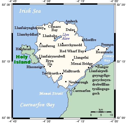
Wales

Trefignath

Traeth Trearddur The beach at Trearddur Bay.
Traeth Trearddur Credit: David Dixon

Trefignath is an ancient burial site located on the island of Anglesey, off the northwest coast of Wales. This prehistoric monument is considered to be one of the most significant heritage sites in the region. It is situated near the village of Llanfihangel yn Nhowyn, about 2 miles northwest of Holyhead.

The site consists of a circular burial mound, or barrow, dating back to the Neolithic period, around 4,000 to 2,500 BC. It is believed to have been used as a communal burial ground for the local community during this era. The mound is approximately 100 feet in diameter and is surrounded by a low stone wall.

Excavations at Trefignath have revealed the presence of several cremated human remains, pottery fragments, and other artifacts, providing valuable insights into the burial practices and rituals of the ancient inhabitants of Anglesey. The site is also notable for its impressive views of the surrounding countryside and the nearby Snowdonia mountain range.

Today, Trefignath is a protected heritage site, managed by Cadw, the Welsh government's historic environment service. Visitors can explore the site and learn about its historical significance through information panels and guided tours. The site is easily accessible by car or public transport, with ample parking available nearby.

Trefignath offers a unique opportunity to step back in time and discover the ancient history and culture of Anglesey. Its tranquil setting and rich archaeological significance make it a must-visit destination for history enthusiasts and anyone interested in Wales' prehistoric past.

If you have any feedback on the listing, please let us know in the comments section below.
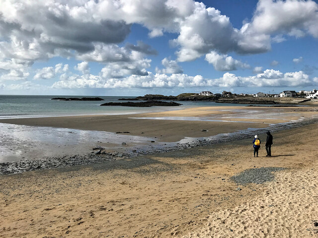
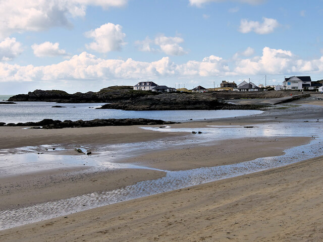
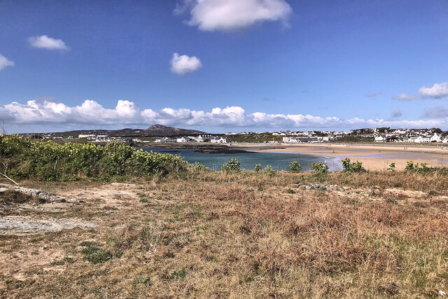
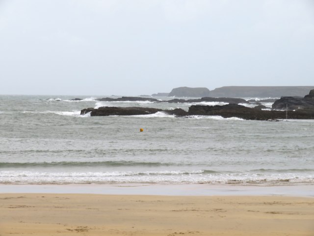
Trefignath Images

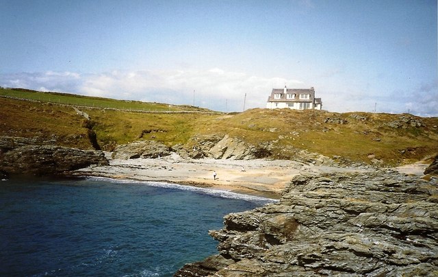
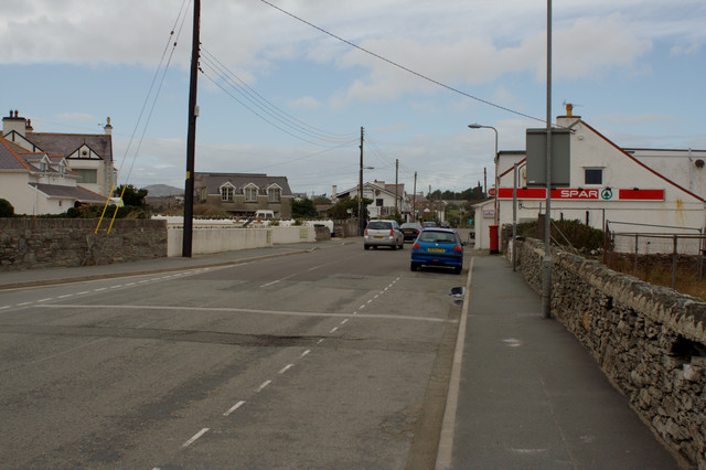
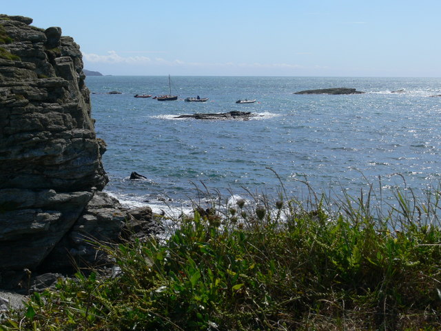
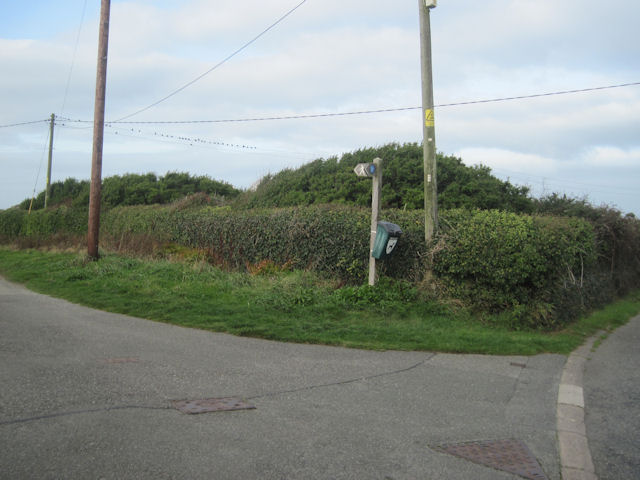
Images are sourced within 2km of 53.2932/-4.6142 or Grid Reference SH2580. Thanks to Geograph Open Source API. All images are credited.

Traeth Trearddur The beach at Trearddur Bay.
Traeth Trearddur
The beach at Trearddur Bay.
Millennium Cross, Trearddur Bay This Millennium Celtic Cross, made from Anglesey limestone from Moelfre Quarry, is situated just behind the promenade on Towyn y Capel beach. A plaque at the base of the cross reads:
“Croes Mileniwm Santes Ffraid
Codwyd 22 Mehefin 2000”
(Saint Ffraid’s Millennium Cross erected 22 June 2000)

The words "St Bride, Pray for Us" are inscribed in four languages, English, Latin, Irish and Welsh; one on each side of the plinth.

The name Santes Ffraid is the Welsh version of Saint Bride (or "Brigid") <span class="nowrap"><a title="https://en.wikipedia.org/wiki/Brigid_of_Kildare" rel="nofollow ugc noopener" href="https://en.wikipedia.org/wiki/Brigid_of_Kildare">Link</a><img style="margin-left:2px;" alt="External link" title="External link - shift click to open in new window" src="https://s1.geograph.org.uk/img/external.png" width="10" height="10"/></span> . According to legend, she was carried over the Irish Sea, and arrived at Trearddur Bay beach, on a square of green turf. Halfway up the 8 foot-high cross is a carving representing a hand carrying a flame. This symbolises the light from Kildare, Ireland.
Millennium Cross, Trearddur Bay
This Millennium Celtic Cross, made from Anglesey limestone from Moelfre Quarry, is situated just behind the promenade on Towyn y Capel beach. A plaque at the base of the cross reads: “Croes Mileniwm Santes Ffraid Codwyd 22 Mehefin 2000” (Saint Ffraid’s Millennium Cross erected 22 June 2000) The words "St Bride, Pray for Us" are inscribed in four languages, English, Latin, Irish and Welsh; one on each side of the plinth. The name Santes Ffraid is the Welsh version of Saint Bride (or "Brigid") LinkExternal link . According to legend, she was carried over the Irish Sea, and arrived at Trearddur Bay beach, on a square of green turf. Halfway up the 8 foot-high cross is a carving representing a hand carrying a flame. This symbolises the light from Kildare, Ireland.
Towyn y Capel Beach, Trearddur Bay
Trearddur Bay IRB Station RNLI station at Trearddur Bay.
Trearddur Bay IRB Station
RNLI station at Trearddur Bay.
Trearddur Bay
Trearddur Bay
A  grey day at Trearddur Bay A storm the previous day appears to have washed plenty of seaweed up the beach and sand across neighbouring roads.
A grey day at Trearddur Bay
A storm the previous day appears to have washed plenty of seaweed up the beach and sand across neighbouring roads.
Choppy seas, Trearddur Bay The seas still rough after the first named storm of the season swept though the previous day. Not a day for a swim.
Choppy seas, Trearddur Bay
The seas still rough after the first named storm of the season swept though the previous day. Not a day for a swim.
Porth y Corwgl
Porth y Corwgl
Trearddur Bay
Trearddur Bay
Post Office, Treaddur
Coastline near Trearddur Bay
Lon Isallt by the Waterfront Inn Trearddur
Craig-y-Mor house on its rock from Main road
Craig-y-Mor above Porth-y-Afon
Porth-yr-Afon from Lon Isallt
Lon Isallt looking west from Craig y Mor entrance
Footpath to Craig-y-Mor from Lon Isallt
Porth-y-Post from Lon Isallt
Show me another place!

Trefignath is located at Grid Ref: SH2580 (Lat: 53.2932, Lng: -4.6142)

Unitary Authority: Isle of Anglesey

Police Authority: North Wales

What 3 Words

///playback.sour.amazed. Near Holyhead, Isle of Anglesey

Related Wikis

Trefignath

Trefignath is a Neolithic burial chamber near Trearddur, south of Holyhead on Holy Island, off Anglesey in Wales. In its most complete form it included...

Holy Island, Anglesey

Holy Island (Welsh: Ynys Gybi, 'the island of (Saint) Cybi') is an island on the western side of the larger Isle of Anglesey, Wales, from which it is separated...

Trearddur

Trearddur or Trearddur Bay (Welsh: Bae Trearddur) is a village, seaside resort and community south of Holyhead on the west coast of Holy Island off the...

Holyhead Golf Club

Holyhead Golf Club is a golf course to the southeast of Holyhead, in Anglesey, northwestern Wales. It is a 6090-yard par-71 course, which was originally...

Nearby Amenities

Located within 500m of 53.2932,-4.6142
Trefignath Burial Chamber
Archaeological Site: burial
Historic: archaeological_site
Historic Civilization: prehistoric
Name Cy: Siambr Gladdu Trefignath
Ref GB Cadw: AN011
Wikidata: Q2451055
Wikipedia: en:Trefignath
Lat/Long: 53.2932682/-4.6142911
Railway: switch
Lat/Long: 53.2949298/-4.6073487
Railway: buffer_stop
Lat/Long: 53.2949699/-4.6076839
Power: pole
Lat/Long: 53.2893622/-4.6165775
Power: pole
Lat/Long: 53.290346/-4.6172859
Power: pole
Lat/Long: 53.2910293/-4.6175566
Power: pole
Lat/Long: 53.2917954/-4.6196003
Power: pole
Lat/Long: 53.291559/-4.6211811
Power: pole
Lat/Long: 53.2955121/-4.6139974
Power: pole
Lat/Long: 53.2951353/-4.6122057
Power: pole
Lat/Long: 53.2948452/-4.6109799
Power: pole
Lat/Long: 53.2945245/-4.6095181
Power: pole
Lat/Long: 53.2940772/-4.6076781
Power: pole
Lat/Long: 53.2959082/-4.6150794
Power: pole
Lat/Long: 53.2962737/-4.6160692
Power: pole
Lat/Long: 53.2966761/-4.6169677
Man Made: mast
Lat/Long: 53.2958816/-4.6177381
Power: pole
Lat/Long: 53.2934787/-4.6074951
Power: pole
Lat/Long: 53.2899273/-4.6181928
Power: pole
Lat/Long: 53.2893178/-4.6168452
Power: pole
Lat/Long: 53.2902413/-4.6190982
Power: pole
Lat/Long: 53.2904867/-4.6197795
Street Lamp
Lamp Model: GEC Z8600
Lamp Type: high_pressure_sodium
Light Power: 150
Source: Mapillary (2020-03-23)
Lat/Long: 53.2970878/-4.6177107
Street Lamp
Lamp Model: GEC Z8600
Lamp Type: high_pressure_sodium
Light Power: 150
Source: Mapillary (2020-03-23)
Lat/Long: 53.2969489/-4.6172297
Street Lamp
Lamp Model: GEC Z8600
Lamp Type: high_pressure_sodium
Light Power: 150
Source: Mapillary (2020-03-23)
Lat/Long: 53.2968135/-4.616765
Street Lamp
Lamp Model: GEC Z8600
Lamp Type: high_pressure_sodium
Light Power: 150
Source: Mapillary (2020-03-23)
Lat/Long: 53.29669/-4.6163354
Street Lamp
Lamp Model: GEC Z8600
Lamp Type: high_pressure_sodium
Light Power: 150
Source: Mapillary (2020-03-23)
Lat/Long: 53.29657/-4.6159069
Street Lamp
Lamp Model: GEC Z8600
Lamp Type: high_pressure_sodium
Light Power: 150
Source: Mapillary (2020-03-23)
Lat/Long: 53.2964451/-4.6154761
Street Lamp
Lamp Model: GEC Z8600
Lamp Type: high_pressure_sodium
Light Power: 150
Source: Mapillary (2020-03-23)
Lat/Long: 53.296316/-4.6150324
Street Lamp
Lamp Model: GEC Z8600
Lamp Type: high_pressure_sodium
Light Power: 150
Source: Mapillary (2020-03-23)
Lat/Long: 53.2961918/-4.614604
Barrier: bollard
Lat/Long: 53.2925225/-4.6142922
Barrier: bollard
Lat/Long: 53.2956125/-4.6184701
Barrier: bollard
Lat/Long: 53.2954735/-4.6182794
Barrier: bollard
Lat/Long: 53.2941539/-4.6159462
Barrier: bollard
Lat/Long: 53.2940582/-4.6158209
Barrier: lift_gate
Lat/Long: 53.2948047/-4.619745
Crossing
Lat/Long: 53.2953562/-4.6192679
The data included in this document is from www.openstreetmap.org. The data is made available under ODbL.

Have you been to Trefignath?

Leave your review of Trefignath below (or comments, questions and feedback).