Bullo

Settlement in Gloucestershire Forest of Dean

England

Bullo

Hope Pill, Arlingham Hope Pill drains into the River Severn to the south of the village of Arlingham.
Hope Pill, Arlingham Credit: Philip Halling

Bullo is a small village located in the county of Gloucestershire, England. Situated in the Cotswolds, it is surrounded by picturesque countryside and offers a tranquil and charming atmosphere. The village is situated approximately 10 miles south of Gloucester and 7 miles northeast of Stroud.

Bullo is known for its rural character, with a scattering of traditional stone cottages and farmhouses adding to its quaint appeal. The village is home to a small but tight-knit community, fostering a friendly and welcoming environment for residents and visitors alike.

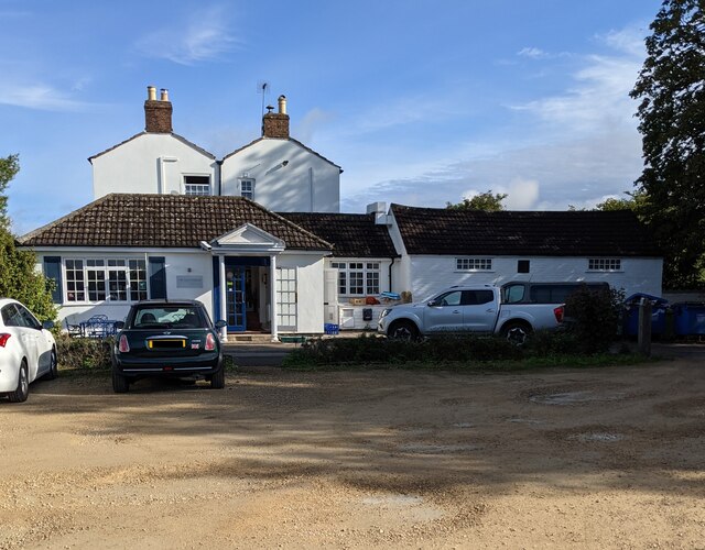
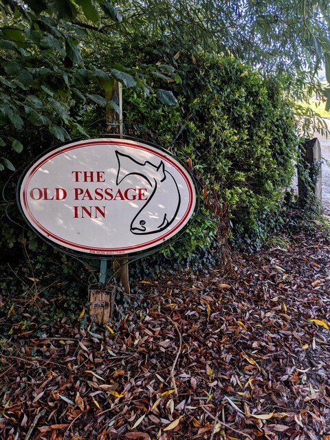
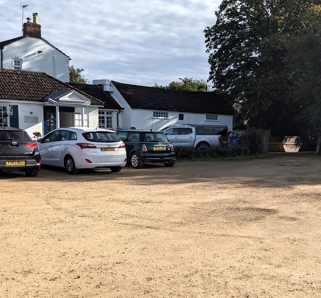
Despite its small size, Bullo offers a range of amenities to cater to the needs of its residents. These include a local pub, a village hall, and a primary school. The village is also well-connected to neighboring towns and cities, with regular bus services providing easy access.

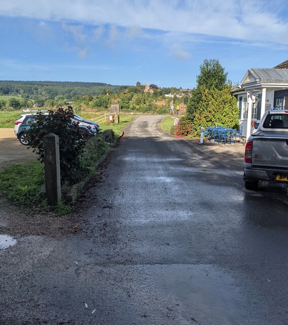
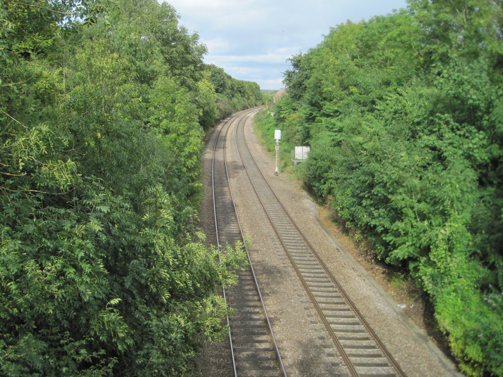
Surrounded by rolling hills and lush greenery, Bullo is a haven for nature lovers and outdoor enthusiasts. The surrounding countryside offers numerous walking and hiking trails, providing breathtaking views of the Cotswolds. Additionally, the nearby Cotswold Way offers opportunities for more challenging hikes.

Bullo's location in the Cotswolds also means that it is within reach of several popular tourist attractions. Cheltenham, famous for its horse racing and elegant Regency architecture, is just a short drive away, as is the historic town of Cirencester.

Overall, Bullo is a peaceful and idyllic village, offering a taste of rural English life in the heart of the Cotswolds. Its natural beauty, friendly community, and convenient location make it a desirable place to live or visit.

If you have any feedback on the listing, please let us know in the comments section below.
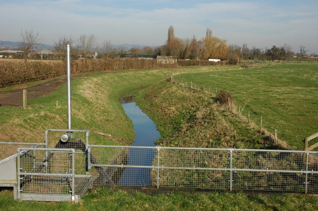
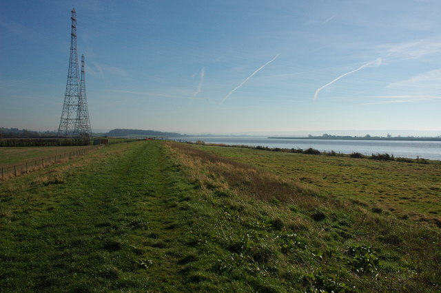
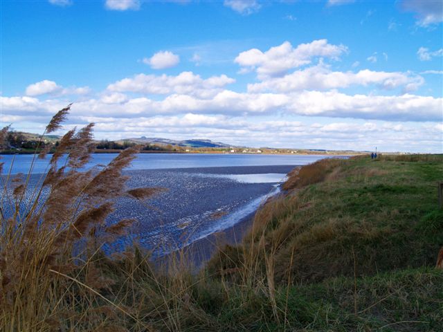
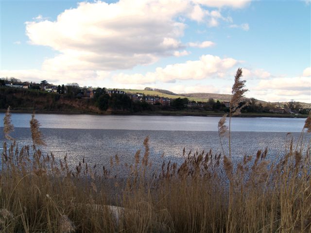
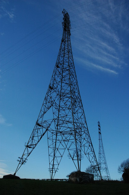
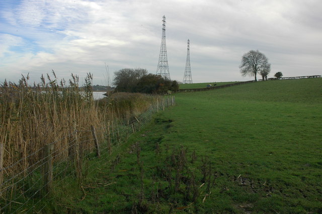
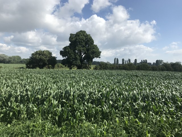
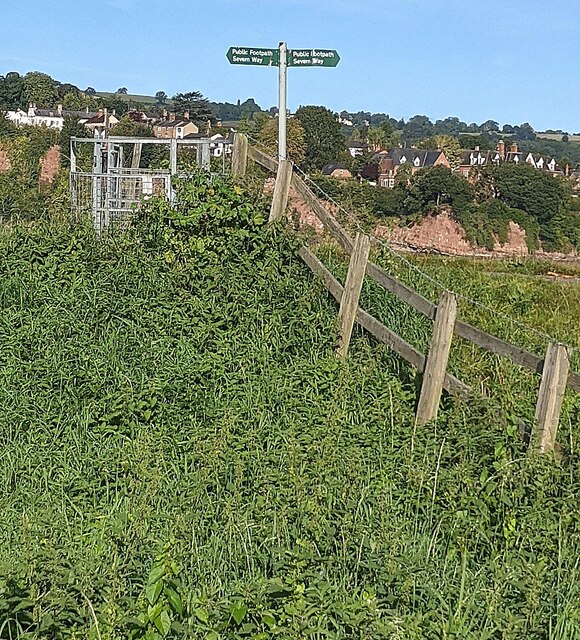
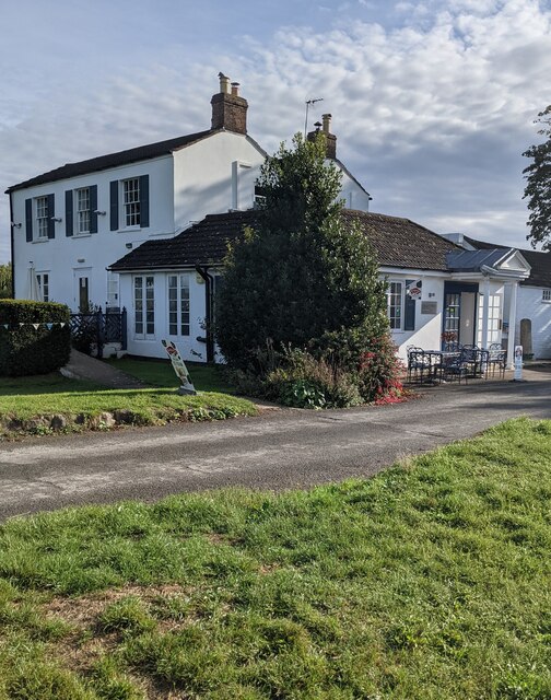
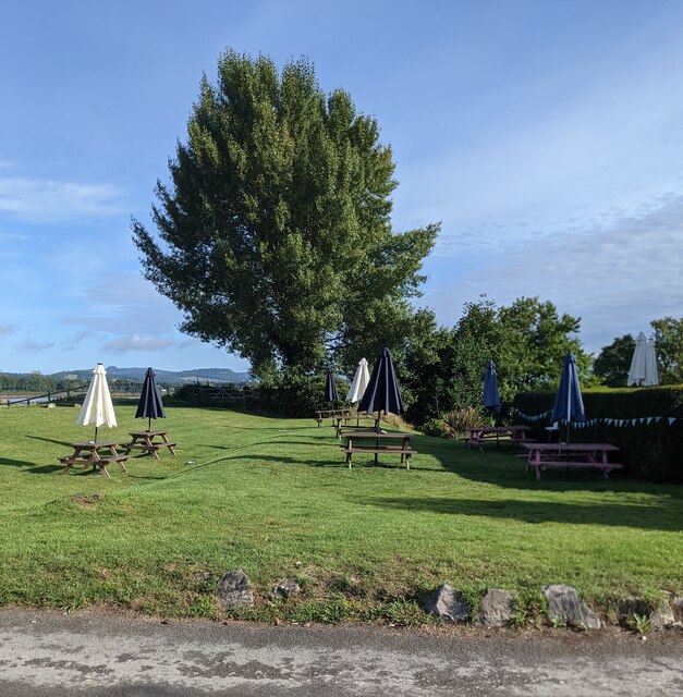
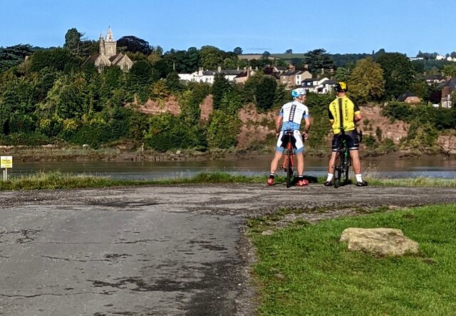
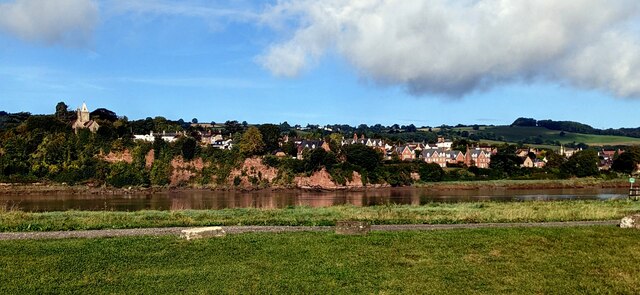
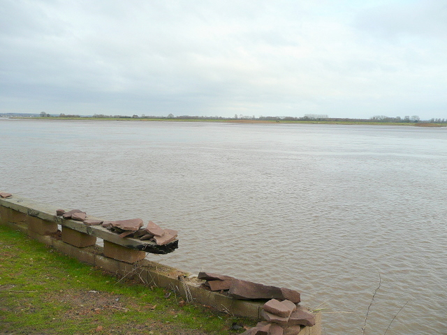
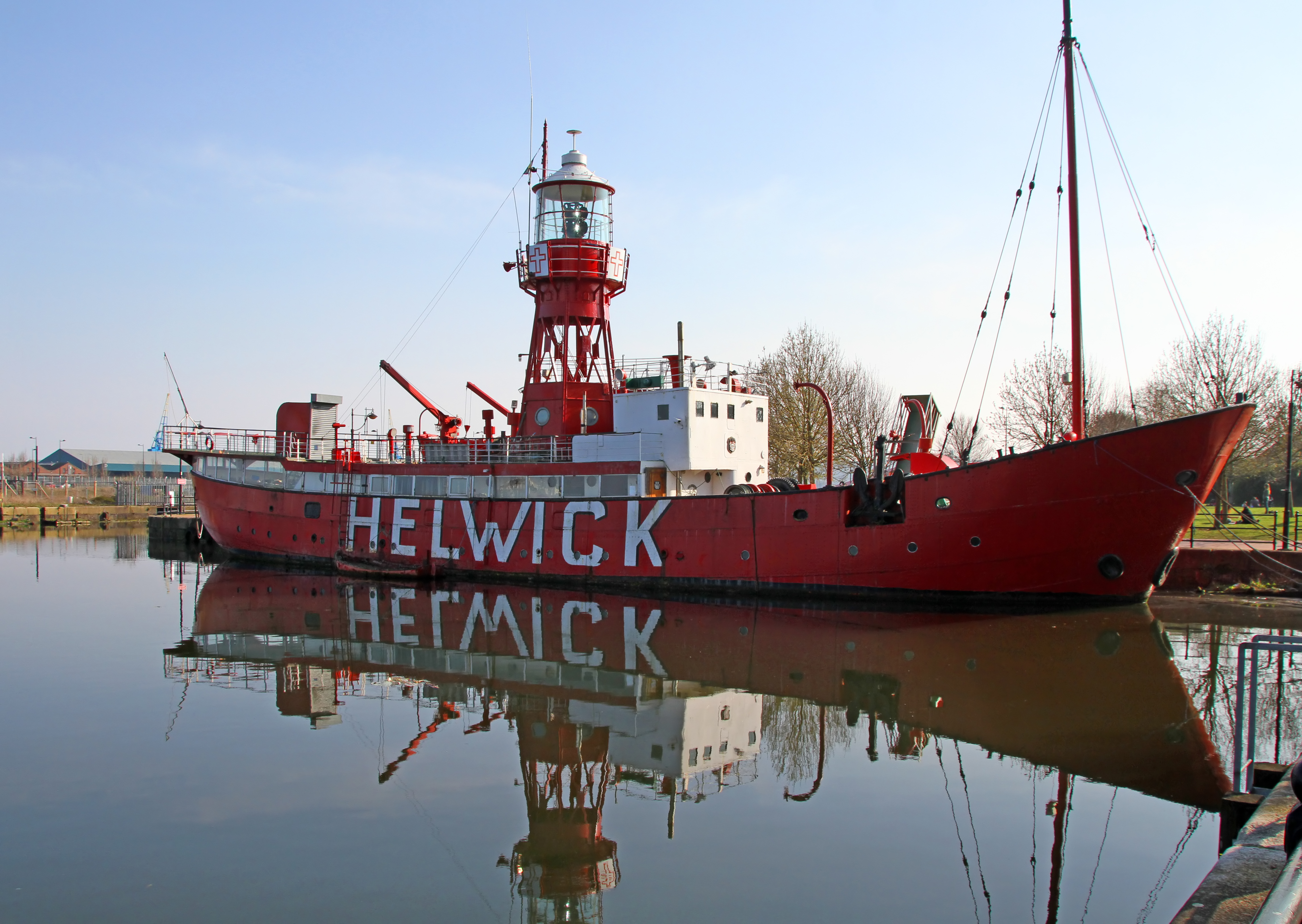
Bullo Images

Images are sourced within 2km of 51.786453/-2.455829 or Grid Reference SO6809. Thanks to Geograph Open Source API. All images are credited.

Hope Pill, Arlingham Hope Pill drains into the River Severn to the south of the village of Arlingham.
Hope Pill, Arlingham
Hope Pill drains into the River Severn to the south of the village of Arlingham.
The River Severn at Arlingham Tall pylons carry electricity power cables across the width of the River Severn. The river here negotiates a large horseshoe bend, the view of the river is downstream and the Cotswolds can be seen on the horizon.
The River Severn at Arlingham
Tall pylons carry electricity power cables across the width of the River Severn. The river here negotiates a large horseshoe bend, the view of the river is downstream and the Cotswolds can be seen on the horizon.
Flotsam on the bank of the River Severn A plastic chair is caught on barbed wire on the bank of the River Severn to the south of Arlingham.
Flotsam on the bank of the River Severn
A plastic chair is caught on barbed wire on the bank of the River Severn to the south of Arlingham.
River Severn
River Severn
River Severn
River Severn
Electricity pylons, Awre These are two very tall electricity pylons on the southern bank of the River Severn at Awre.
Electricity pylons, Awre
These are two very tall electricity pylons on the southern bank of the River Severn at Awre.
River bank at Awre View across fields beside the River Severn to the north of Awre.  The two tall pylons carry power cables across the river to Arlingham on the other bank.  A tractor is hedge cutting in the next field.
River bank at Awre
View across fields beside the River Severn to the north of Awre. The two tall pylons carry power cables across the river to Arlingham on the other bank. A tractor is hedge cutting in the next field.
Field of corn
Field of corn
Old Passage Inn, Arlingham Alongside Passage Road on the east bank of the River Severn, opposite Newnham-on-Severn on the west bank.
Old Passage Inn, Arlingham
Alongside Passage Road on the east bank of the River Severn, opposite Newnham-on-Severn on the west bank.
Old Passage Inn name sign, Arlingham Alongside Passage Road opposite the inn. <a title="https://www.geograph.org.uk/photo/6972345" href="https://www.geograph.org.uk/photo/6972345">Link</a>
Old Passage Inn name sign, Arlingham
Alongside Passage Road opposite the inn. Link
Western end of Passage Road, Arlingham Looking towards the east bank of the River Severn and Newnham-on-Severn on the west bank. The Old Passage Inn <a title="https://www.geograph.org.uk/photo/6972345" href="https://www.geograph.org.uk/photo/6972345">Link</a> is on the right. Its car park is on the left
Western end of Passage Road, Arlingham
Looking towards the east bank of the River Severn and Newnham-on-Severn on the west bank. The Old Passage Inn Link is on the right. Its car park is on the left
Old Passage Inn car park, Arlingham On the south side of Passage Road, opposite the inn. <a title="https://www.geograph.org.uk/photo/6972345" href="https://www.geograph.org.uk/photo/6972345">Link</a>
Old Passage Inn car park, Arlingham
On the south side of Passage Road, opposite the inn. Link
Severn Way signpost, Arlingham On the east bank of the River Severn at the western edge of Arlingham.
Newnham-on-Severn in the background is on the west bank.
Severn Way signpost, Arlingham
On the east bank of the River Severn at the western edge of Arlingham. Newnham-on-Severn in the background is on the west bank.
The Old Passage Inn, Arlingham On the east bank of the River Severn viewed across Passage Road in September 2021.
The Old Passage Inn, Arlingham
On the east bank of the River Severn viewed across Passage Road in September 2021.
Picnic tables on grass, Arlingham On the west side of the Old Passage Inn <a title="https://www.geograph.org.uk/photo/6972380" href="https://www.geograph.org.uk/photo/6972380">Link</a> near the Severn Way on the east bank of the River Severn.
Picnic tables on grass, Arlingham
On the west side of the Old Passage Inn Link near the Severn Way on the east bank of the River Severn.
Two cyclists on the Severn Way, Arlingham On the east bank of the River Severn. Newnham-on-Severn is in the background.
Two cyclists on the Severn Way, Arlingham
On the east bank of the River Severn. Newnham-on-Severn is in the background.
Across the River Severn towards Newnham, Gloucestershire From Arlingham.
Across the River Severn towards Newnham, Gloucestershire
From Arlingham.
Grade II Listed old milestone, Arlingham Probably dating from the 18th century, the milestone is located outside the Old Passage Inn <a title="https://www.geograph.org.uk/photo/6972380" href="https://www.geograph.org.uk/photo/6972380">Link</a> on the east bank of the River Severn in Arlingham, Gloucestershire.
Grade II Listed old milestone, Arlingham
Probably dating from the 18th century, the milestone is located outside the Old Passage Inn Link on the east bank of the River Severn in Arlingham, Gloucestershire.
Show me another place!

Bullo is located at Grid Ref: SO6809 (Lat: 51.786453, Lng: -2.455829)

Administrative County: Gloucestershire

District: Forest of Dean

Police Authority: Gloucestershire

What 3 Words

///mural.backhand.routines. Near Cinderford, Gloucestershire

Nearby Locations

Hulin's Wood Bullo

Related Wikis

Nearby Amenities

Located within 500m of 51.786453,-2.455829
Source: PGS
Lat/Long: 51.785587/-2.4492732
Source: PGS
Lat/Long: 51.7862893/-2.4498541
Source: PGS
Lat/Long: 51.7869037/-2.4500967
Source: PGS
Lat/Long: 51.7879431/-2.4502817
Source: PGS
Lat/Long: 51.788474/-2.4504319
Created By: almien_coastlines
Source: PGS
Lat/Long: 51.789057/-2.450375
Bullo Pill
Is In: Gloucestershire, England, UK
Place: hamlet
Lat/Long: 51.7867584/-2.4553873
Bullo Cross
Historic Railway: station
Railway: site
Wikidata: Q4996970
Wikipedia: en:Bullo Cross Halt railway station
Lat/Long: 51.7880309/-2.4577386
Bus Stop
Bullo Cross
Naptan AtcoCode: 1600GLF129
Naptan Bearing: S
Naptan CommonName: Bullo Cross
Naptan Indicator: Opp
Naptan NaptanCode: gloamatp
Naptan Street: A48
Naptan Verified: no
Source: naptan_import
Lat/Long: 51.7862354/-2.4559058
Bus Stop
Bullo Cross
Naptan AtcoCode: 1600GLF130
Naptan Bearing: N
Naptan BusStopType: CUS
Naptan CommonName: Bullo Cross
Naptan NaptanCode: gloamatj
Naptan Street: A48
Naptan Verified: no
Source: naptan_import
Lat/Long: 51.7862614/-2.4561525
Bullo Pill
Historic: harbour
Source: Personal knowledge
Lat/Long: 51.7867053/-2.4503233
Passing Place
Lat/Long: 51.786562/-2.4530386
Barrier: kissing_gate
Kissing Gate: circular_profile
Lat/Long: 51.7863322/-2.4509628
Barrier: kissing_gate
Kissing Gate: circular_profile
Lat/Long: 51.7883979/-2.4514103
Power: pole
Lat/Long: 51.7893816/-2.4605749
Power: pole
Lat/Long: 51.7886149/-2.4602885
Power: pole
Lat/Long: 51.7872097/-2.4597837
Power: pole
Lat/Long: 51.7865013/-2.4595313
Power: pole
Lat/Long: 51.7854293/-2.4591358
Power: pole
Lat/Long: 51.7844901/-2.4587929
Power: pole
Lat/Long: 51.7835043/-2.4584388
Power: pole
Lat/Long: 51.7828346/-2.4582166
Power: pole
Lat/Long: 51.7823388/-2.4575244
Power: pole
Lat/Long: 51.7879183/-2.4600385
Power: pole
Source: Bing
Lat/Long: 51.7828365/-2.4528273
Power: pole
Source: Bing
Lat/Long: 51.7856539/-2.4546363
Power: pole
Source: Bing
Lat/Long: 51.7839204/-2.45352
Power: pole
Source: Bing
Lat/Long: 51.7848309/-2.4541063
Post Box
Collection Times: Mo-Fr 09:00; Sa 07:00
Operator: Royal Mail
Post Box Type: lamp
Ref: GL14 116D
Royal Cypher: EIIR
Royal Cypher Wikidata: Q33102113
Lat/Long: 51.787209/-2.4562436
Crossing
Crossing: unmarked
Lat/Long: 51.7864815/-2.4559616
Crossing
Crossing: unmarked
Lat/Long: 51.7866864/-2.4559975
Crossing
Crossing: unmarked
Lat/Long: 51.7894601/-2.4554381
Crossing
Crossing: unmarked
Lat/Long: 51.7896183/-2.4554179
Crossing
Crossing: unmarked
Lat/Long: 51.7899476/-2.455422
Barrier: kissing_gate
Kissing Gate: circular_profile
Lat/Long: 51.7866754/-2.4528897
Barrier: stile
Material: wood
Step Count: 1
Stile: stepover
Lat/Long: 51.787122/-2.4559385
Barrier: kissing_gate
Lat/Long: 51.7870146/-2.4529671
The data included in this document is from www.openstreetmap.org. The data is made available under ODbL.

Have you been to Bullo?

Leave your review of Bullo below (or comments, questions and feedback).