Bullinghope
Settlement in Herefordshire
England
Bullinghope
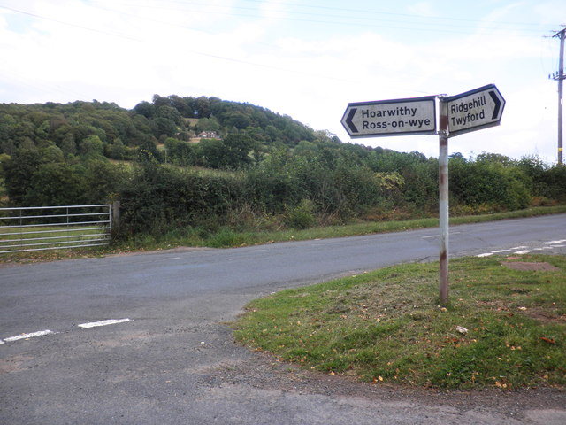
Bullinghope is a small village located in the county of Herefordshire, England. Situated about 7 miles southeast of the city of Hereford, it is nestled in the picturesque countryside of the county. The village is home to a close-knit community and offers a peaceful and idyllic setting for its residents.
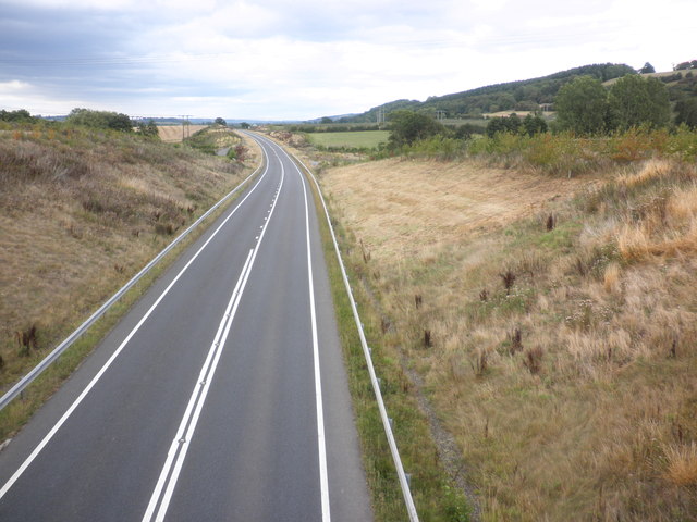
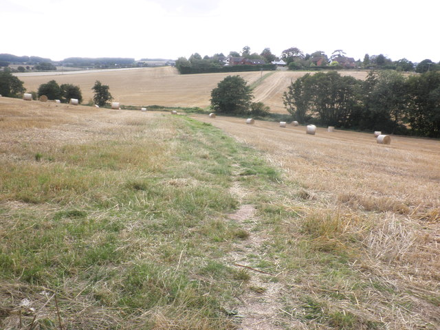
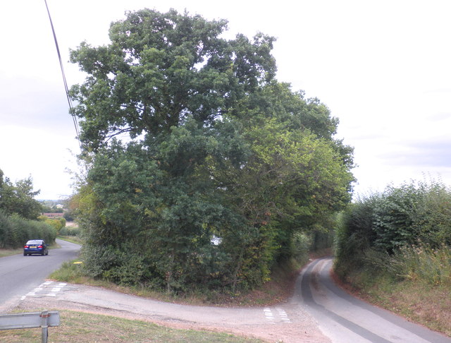
The origins of Bullinghope can be traced back to the medieval period, and the village still maintains its historic charm with a few old buildings and traditional cottages. The landscape surrounding Bullinghope is predominantly rural, characterized by rolling hills, meadows, and farmland, making it a haven for nature lovers and outdoor enthusiasts.
Despite its small size, Bullinghope offers a range of amenities and facilities to cater to the needs of its residents. The village has a primary school, a village hall, and a local pub, providing a sense of community and social gathering spaces. It also benefits from being in close proximity to the city of Hereford, which offers a wider array of services, shops, and entertainment options.
The village enjoys good transport links, with regular bus services connecting it to Hereford and neighboring towns. It is also conveniently located near major road networks, such as the A49 and A465, providing easy access to other parts of the county and beyond.
Bullinghope is known for its tranquil and peaceful ambiance, making it an attractive place for those seeking a slower pace of life and a strong sense of community. With its beautiful countryside surroundings, amenities, and convenient location, Bullinghope offers a desirable place to live in the heart of Herefordshire.
If you have any feedback on the listing, please let us know in the comments section below.
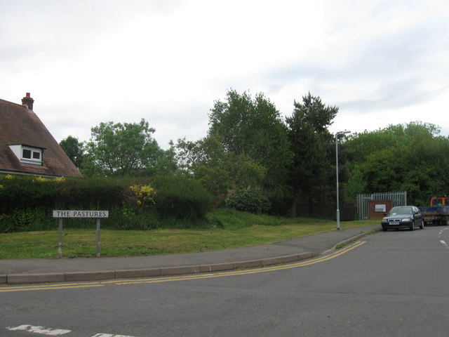
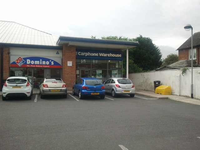
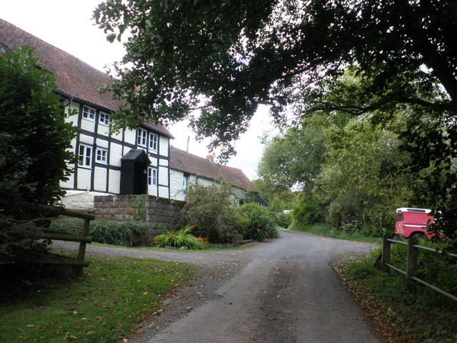
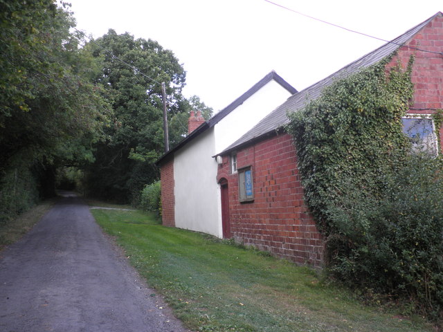
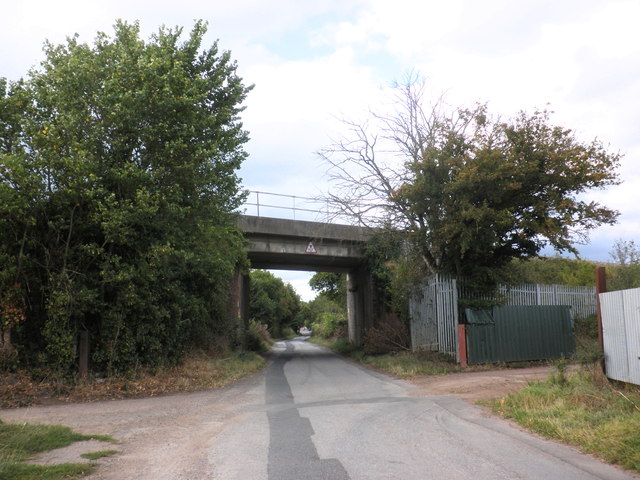
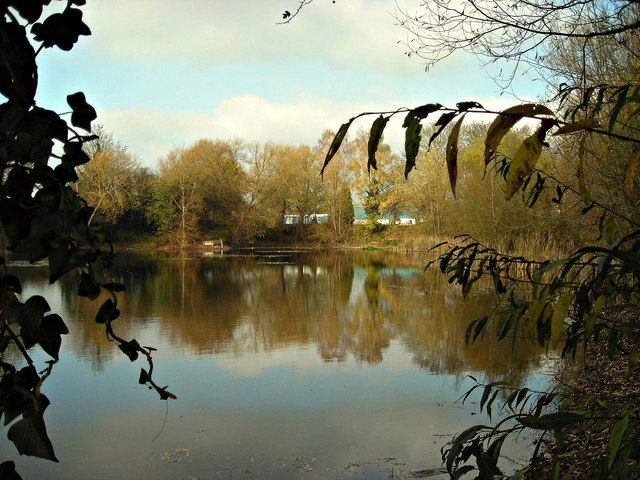
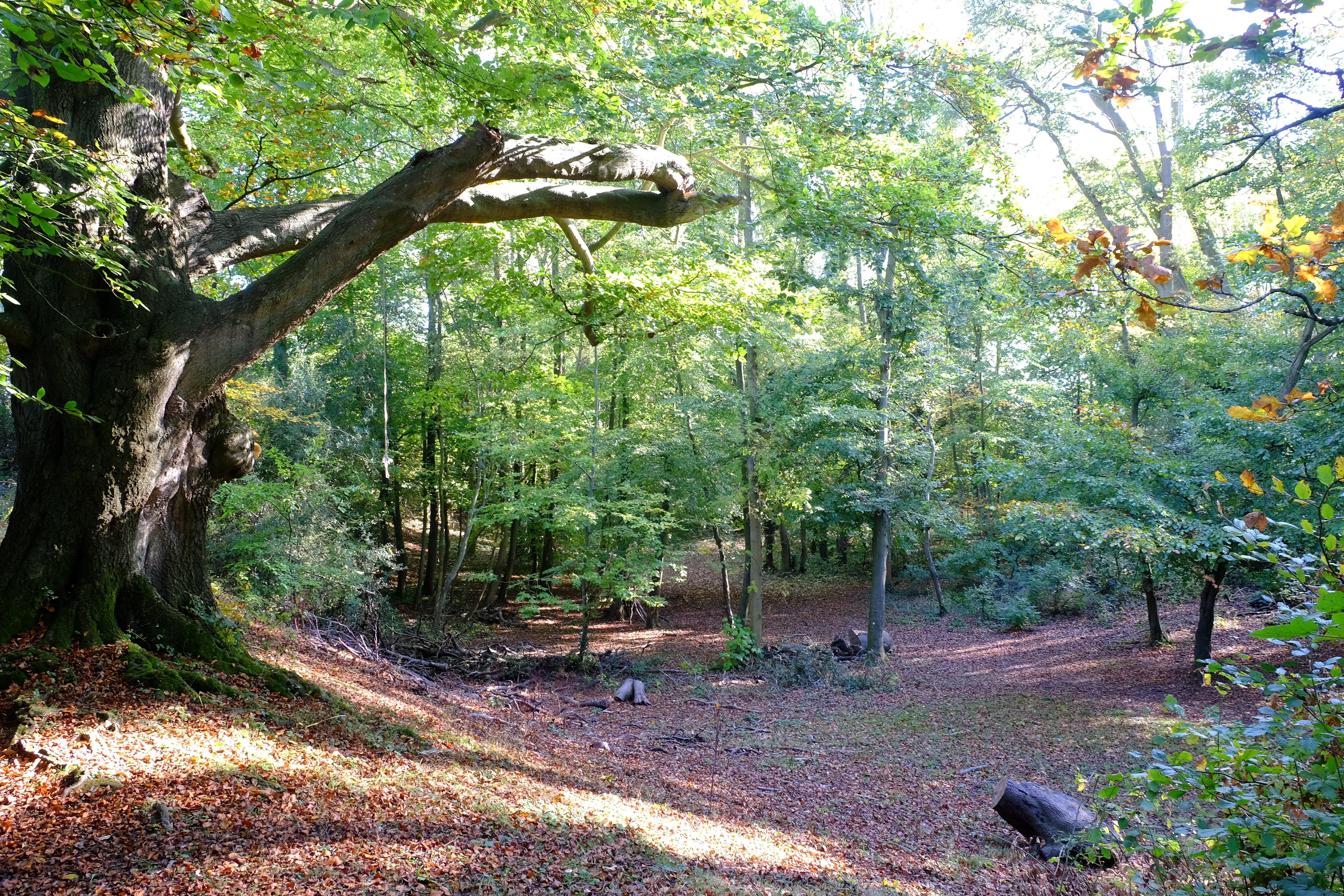
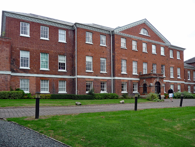
Bullinghope Images
Images are sourced within 2km of 52.030212/-2.7144551 or Grid Reference SO5137. Thanks to Geograph Open Source API. All images are credited.


Bullinghope is located at Grid Ref: SO5137 (Lat: 52.030212, Lng: -2.7144551)
Unitary Authority: County of Herefordshire
Police Authority: West Mercia
What 3 Words
///daily.stand.never. Near Lower Bullingham, Herefordshire
Nearby Locations
Related Wikis

Lower Bullingham
Lower Bullingham is a village and civil parish in Herefordshire, England. The main village, Lower Bullingham, is a south-eastern suburb of Hereford....
The Hereford Academy
The Hereford Academy is a secondary school and sixth form located in Hereford, Herefordshire, England.It was known as Haywood High School in the late seventies...
Grafton, Herefordshire
Grafton is a village and civil parish in Herefordshire, England. The population of this civil parish was 258 at the 2011 census. The parish includes the...

Dinedor Hill
Dinedor Hill is situated 2.5 miles south of Hereford. It is the site of Dinedor Camp, an Iron Age hillfort. More specifically a promontory fort. It is...
Dinedor Camp
Dinedor Camp is an Iron Age hillfort, about 1 kilometre (0.6 mi) west of the village of Dinedor and about 3 kilometres (1.9 mi) south of Hereford in England...
ROF Rotherwas
ROF Rotherwas was a Royal Ordnance Factory filling factory, No 4, located in Rotherwas, Dinedor Parish, Herefordshire, England. == Background == In the...
Herefordshire Archive and Records Centre
Herefordshire Archive and Records Centre holds the archives for the county of Herefordshire. The archives are held at Fir Tree Lane, Rotherwas, Hereford...
Hereford General Hospital
Hereford General Hospital was a health facility located on Nelson Street in Hereford. The main building, which has since been converted into apartments...
Nearby Amenities
Located within 500m of 52.030212,-2.7144551Have you been to Bullinghope?
Leave your review of Bullinghope below (or comments, questions and feedback).