Ewloe Castle
Heritage Site in Flintshire
Wales
Ewloe Castle

The requested URL returned error: 429 Too Many Requests
If you have any feedback on the listing, please let us know in the comments section below.
Ewloe Castle Images
Images are sourced within 2km of 53.20N /-3.0672 or Grid Reference SJ2867. Thanks to Geograph Open Source API. All images are credited.
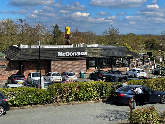
Ewloe Interchange (Junction 34), North Wales Expressway (A55)
The A55, also known as the North Wales Expressway (Gwibffordd Gogledd Cymru), is the major road in North Wales running for 88 miles between Chester and Holyhead via Conwy and Bangor.
The A55 is a very high quality road, much of it rebuilt since the 1970s in response to traffic problems in Colwyn Bay, Colwyn and Llandudno caused by traffic having to pass through town centres on totally unsuitable streets, (especially in Conwy where lorries often scraped their paintwork as they passed through 12th century arches in the town's walls), leading to the construction of an east-west expressway bypassing the urban centres. It is a dual carriageway primary route for its entire length with the exception of the point where it crosses the Britannia Bridge over the Menai Strait. All of its junctions are grade separated except for two roundabouts; one east of Penmaenmawr and one in Llanfairfechan. The road originally ran from Chester to Bangor but was extended parallel to the A5 across Anglesey right into Holyhead Docks in 2001.
Link SABRE
SABRE
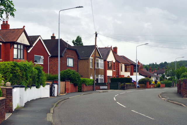
Wepre Park, Connah's Quay
The High Street in Connah's Quay looks distinctly down-at-heel in places but here to the south of it there is an air of quiet suburban prosperity. This is Wepre Park, the road, which confusingly leads to Wepre Park, the park. Wepre is a much older name than Connah's Quay and is still used as a name for this part of the town.
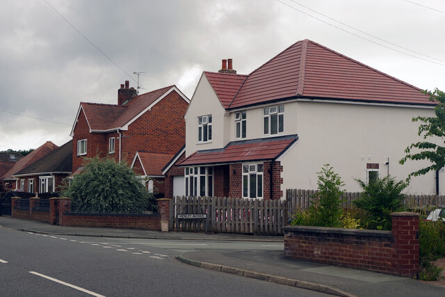
Wepre Park, Connah's Quay
Wepre Park is the road that leads to Wepre Park itself. In this view Henley Avenue leads off to the right.
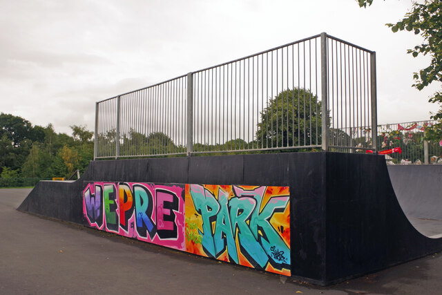
Wepre Park - skatepark
Complete with graffiti-style artistry, the skatepark is one of the facilities aimed primarily at youngsters in Wepre Park. On this rather dismal day before the start of the school summer holidays it was deserted.
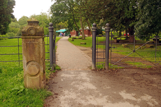
Wepre Park Visitor Centre
The old stone gatepost hints that this was the approach to a grander building than a modern visitor centre. In fact there was a hall on this site built in Georgian times that had to be demolished in the 1960s for safety reasons. The original cellars still exist beneath the visitor centre.
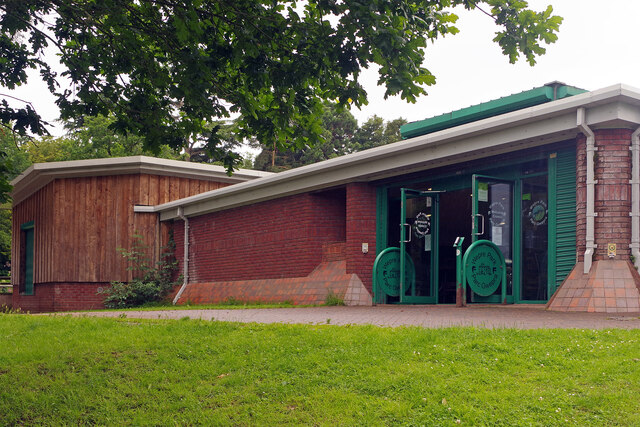
Wepre Park Visitor Centre
The modern visitor centre stands on the site of the old Wepre Hall demolished in the 1960s. The original cellars still exist beneath the building.
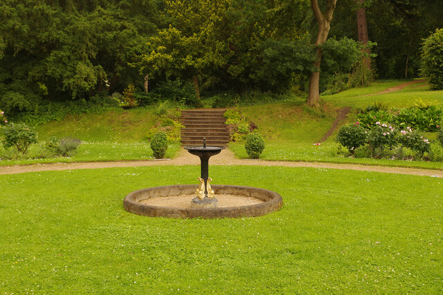
Wepre Park - formal garden
Although the house was demolished in the early 1960s, the formal garden at Wepre Park, originally laid out in the 18th and 19th centuries, has survived. The garden includes this circular lawn with a central fountain.
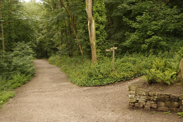
Path into Wepre Wood
The path leads south from the Wepre Park visitor centre to Ewloe Castle, following Wepre Brook.
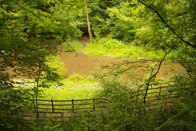
Wepre Brook
Wepre Brook flows through Wepre Wood (part of Wepre Park) and the path from the visitor centre to Ewloe Castle follows its course upstream.
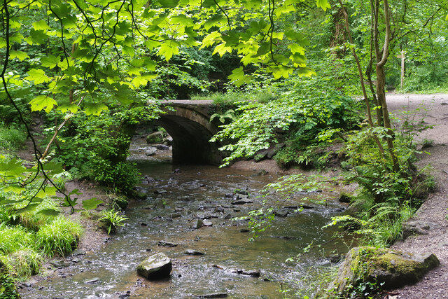
Wepre Brook
Wepre Brook (Nant Gwepra in Welsh) flows through Wepre Wood and this footbridge forms part of the network of paths that invite exploration. The bridge, called Pont Aber, was originally sited further up the valley but was relocated here in about 1800 to improve access to Wepre Hall.
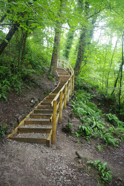
Steps to Ewloe Castle
After crossing Wepre Brook the path to the castle heads up these steps.
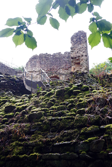
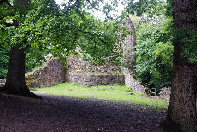
Ewloe Castle
Showing the steps providing public access (originally ramps would have been provided for crossing the walls - there were no gatehouses as such) and the western tower.
Ewloe Castle
Looking towards the western tower built later than the Welsh tower which is out of shot to the left.
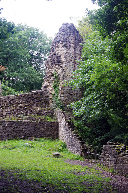
Ewloe Castle
Showing the western tower. The wooded surroundings of the castle can be clearly seen in this view.
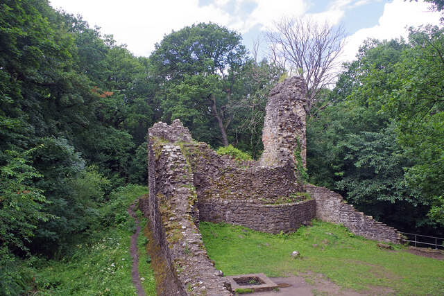
Ewloe Castle
Showing the remains of the western tower and curtain wall set against the surrounding Wepre Wood.
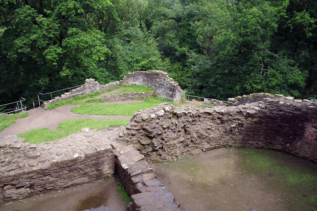
Ewloe Castle
Looking down from the Welsh Tower - the highest accessible part of the castle.
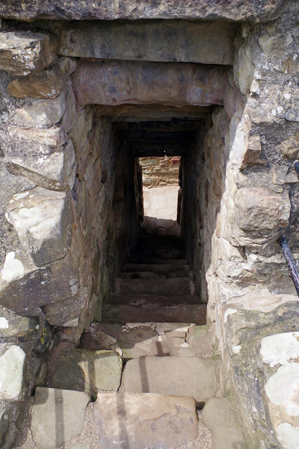
Ewloe Castle
These steps lead down from the Welsh tower - the highest part of the ruins to which the public has access. Care is needed when walking down these rough steps.
Ewloe Castle is located at Grid Ref: SJ2867 (Lat: 53.20N , Lng: -3.0672)
Unitary Authority: Flintshire
Police Authority: North Wales
Also known as: Castell Ewlo
Nearby Locations
Have you been to Ewloe Castle?
Leave your review of Ewloe Castle below (or comments, questions and feedback).