Castell Bryn Gwyn

Heritage Site in Anglesey

Wales

Castell Bryn Gwyn

Caer Leb Iron age fortified settlement.
Caer Leb Credit: Chris Andrews

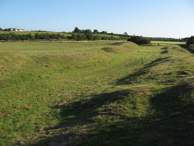
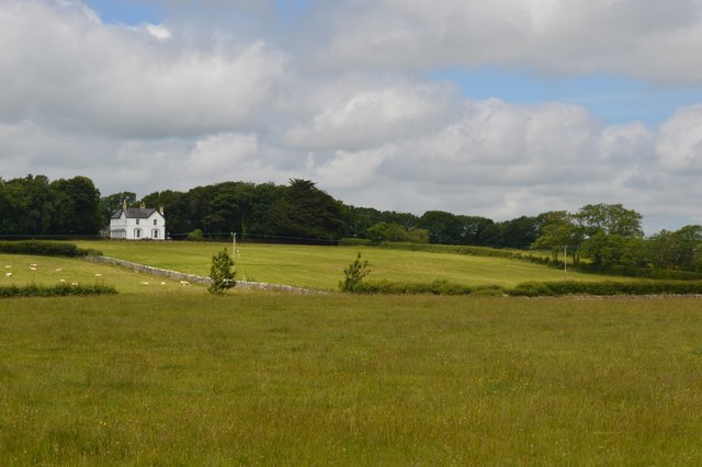
Castell Bryn Gwyn is an ancient heritage site located on the island of Anglesey in Wales. It is a well-preserved Iron Age hillfort that dates back to around 500 BC. The site is situated atop a hill overlooking the surrounding countryside, providing panoramic views of the area.

The hillfort is enclosed by a series of earthwork defenses, including multiple concentric ramparts and ditches. The outermost rampart is the most substantial, measuring approximately 6 meters in height and 30 meters in width. Inside the fort, there are several smaller enclosures, possibly used for different purposes such as housing or livestock.

Archaeological excavations at Castell Bryn Gwyn have revealed evidence of human occupation from the late Bronze Age to the Roman period. The findings include pottery fragments, metal artifacts, and animal bones, which provide insights into the daily life and activities of the people who lived there.

The site is of great historical importance as it offers a glimpse into the Iron Age society of Anglesey. It is believed to have been a significant center of power and possibly served as a stronghold for local chieftains. The strategic location and impressive defenses suggest that it played a role in the defense of the island against potential invaders.

Today, Castell Bryn Gwyn is open to the public, allowing visitors to explore the remains of the hillfort and appreciate its historical significance. Interpretive signs and information boards provide detailed explanations of the site's features and history, enhancing the visitor experience.

If you have any feedback on the listing, please let us know in the comments section below.

Castell Bryn Gwyn Images

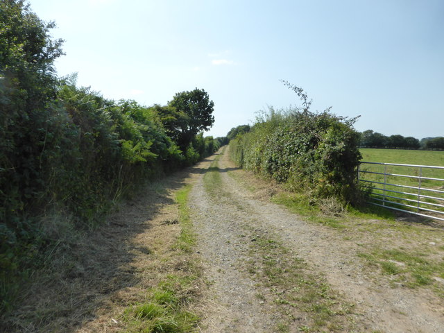
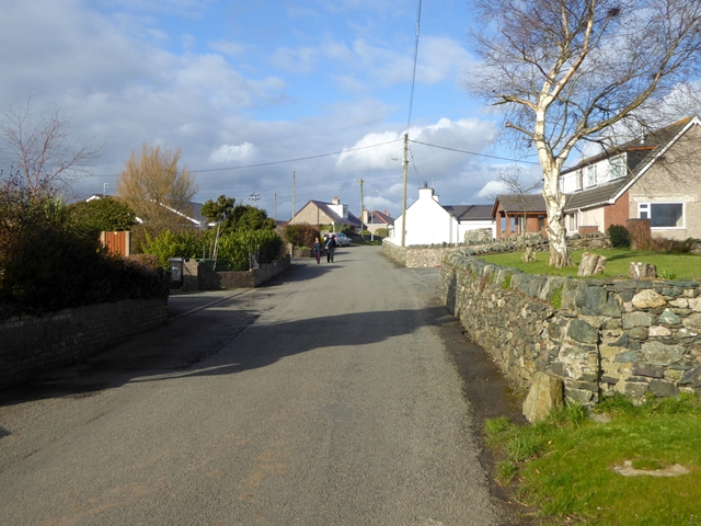
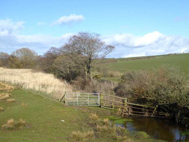
Images are sourced within 2km of 53.1784/-4.2979 or Grid Reference SH4667. Thanks to Geograph Open Source API. All images are credited.

Caer Leb Iron age fortified settlement.
Caer Leb
Iron age fortified settlement.
Bodowyr burial chamber
Sheep at Llanfair Farm
Farmland near Gelliniog
Farmland near Bryngwyn
Bryngwyn Standing Stones The supposed remains of a stone circle.
Bryngwyn Standing Stones
The supposed remains of a stone circle.
Disused Pump House Near Bryngwyn Contains the remains of a hydraulic ram.
Disused Pump House Near Bryngwyn
Contains the remains of a hydraulic ram.
Brynsiencyn Burial Chamber Also known as the Perthi-duon burial chamber.  Opinion varies on whether this is a prehistoric structure.
Brynsiencyn Burial Chamber
Also known as the Perthi-duon burial chamber. Opinion varies on whether this is a prehistoric structure.
Y Groeslon, Brynsiencyn
Brynsiencyn green Looking north-east along the minor road towards the junction with the A4080. The latter makes a right angled turn immediately in front of the public house.
Brynsiencyn green
Looking north-east along the minor road towards the junction with the A4080. The latter makes a right angled turn immediately in front of the public house.
Drive to Taicochion In the foreground the minor road from Brynsiencyn to the coast makes a right angled turn at the point where the private drive to Taicochion goes off marked by the very distinctive gate pillars. At the low wooden post on the left a public footpath goes off to Sw Mer mon.
Drive to Taicochion
In the foreground the minor road from Brynsiencyn to the coast makes a right angled turn at the point where the private drive to Taicochion goes off marked by the very distinctive gate pillars. At the low wooden post on the left a public footpath goes off to Sw Mer mon.
Bodowyr Burial Chamber This monument was erected in the Neolithic Age (4000-2000 BC) for the communal burial of the dead. Both the burial chamber and the short entrance passage which formerly existed to the east would originally have been covered by a mound of earth or stones.
Bodowyr Burial Chamber
This monument was erected in the Neolithic Age (4000-2000 BC) for the communal burial of the dead. Both the burial chamber and the short entrance passage which formerly existed to the east would originally have been covered by a mound of earth or stones.
Cae-meini lane One of the entrances to Dinam estate.
Cae-meini lane
One of the entrances to Dinam estate.
Looking across the field to Bodowyr Burial Chamber
The gateway to Bodowyr
St Mary's Church, Llanfair-yn-y-Cwmwd
Village street in Dwyran Leading east to the edge of the village.
Village street in Dwyran
Leading east to the edge of the village.
Stream near Llangaffo A headwater of the Afon Briant, looking upstream from Pont Rhyd Dinam.
Stream near Llangaffo
A headwater of the Afon Briant, looking upstream from Pont Rhyd Dinam.
Show me another place!

Castell Bryn Gwyn is located at Grid Ref: SH4667 (Lat: 53.1784, Lng: -4.2979)

Unitary Authority: Isle of Anglesey

Police Authority: North Wales

What 3 Words

///screamed.dribble.coconuts. Near Caernarfon, Gwynedd

Related Wikis

Castell Bryn Gwyn

Castell Bryn Gwyn is a prehistoric site on the Isle of Anglesey, west of Brynsiencyn. It is a circular clay and gravel bank covered with grass, still some...
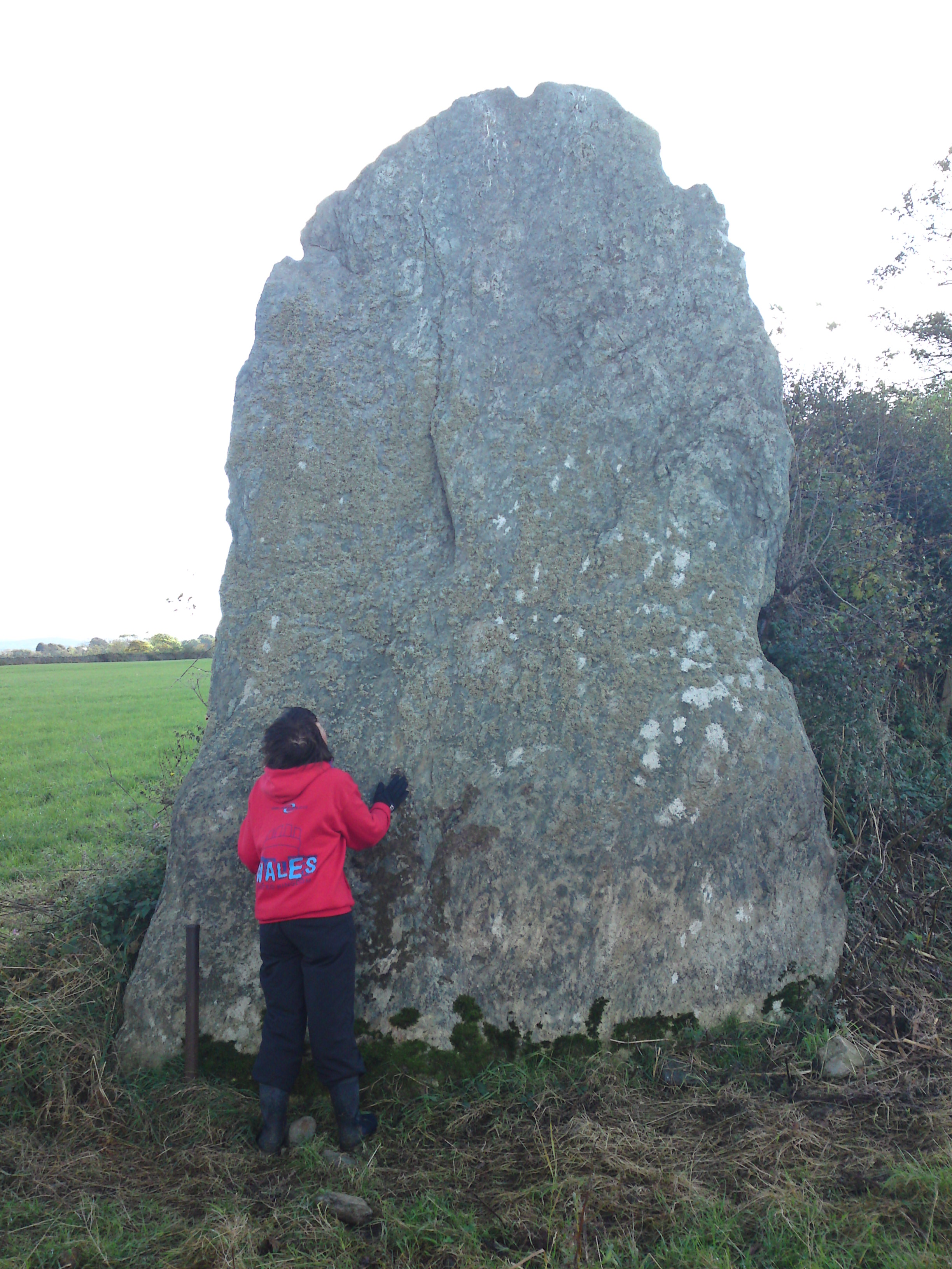
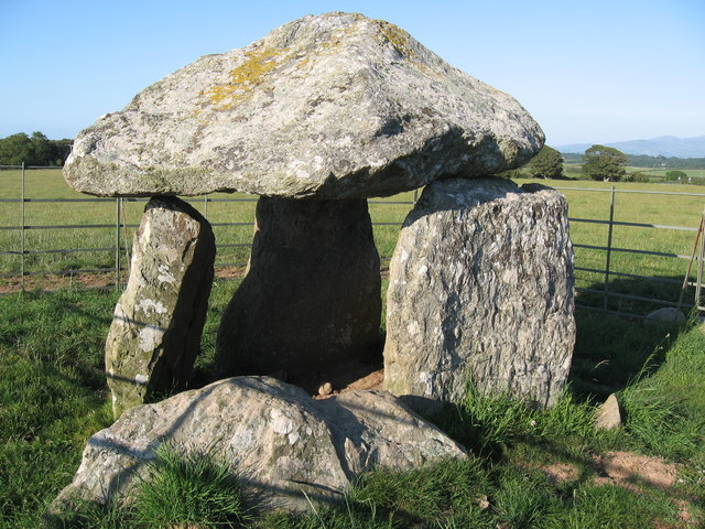
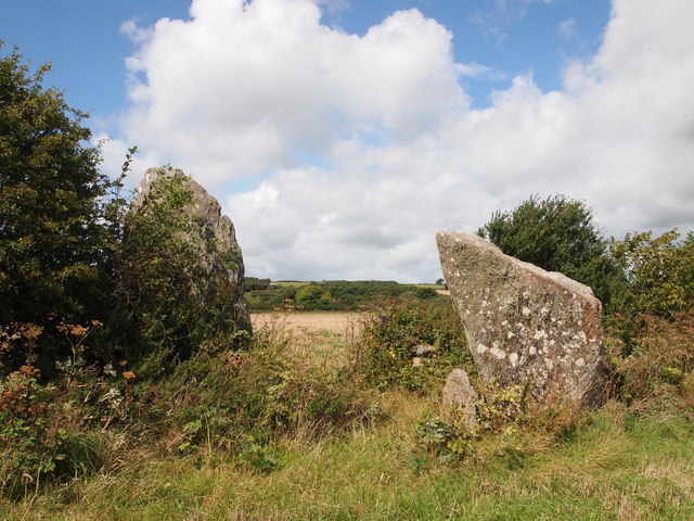
Bryn Gwyn stones

The Bryn Gwyn Stones (Welsh: Cerrig Bryn Gwyn) or Bryn Gwyn Standing Stones are neolithic stones in Brynsiencyn on Anglesey. == Description and History... ==

Caer Lêb

Caer Lêb is a Roman and mediaeval site on the Welsh island of Anglesey, west of Brynsiencyn. Its name means "Leaven Castle". It is a low-lying site near...
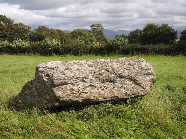
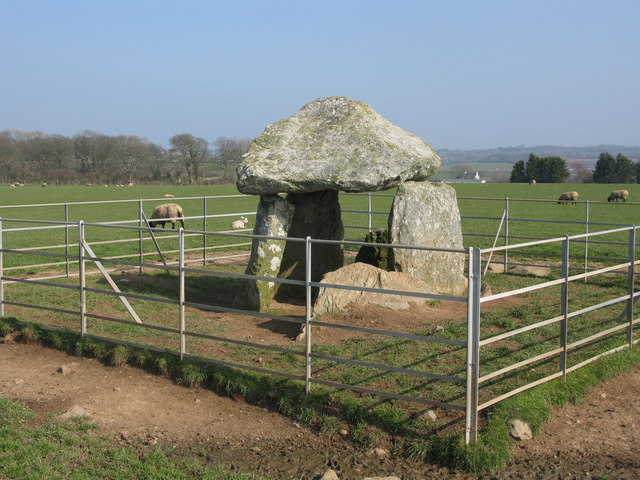
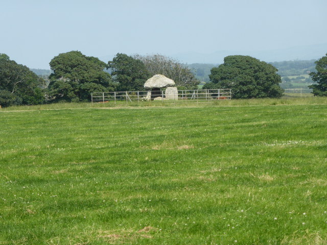
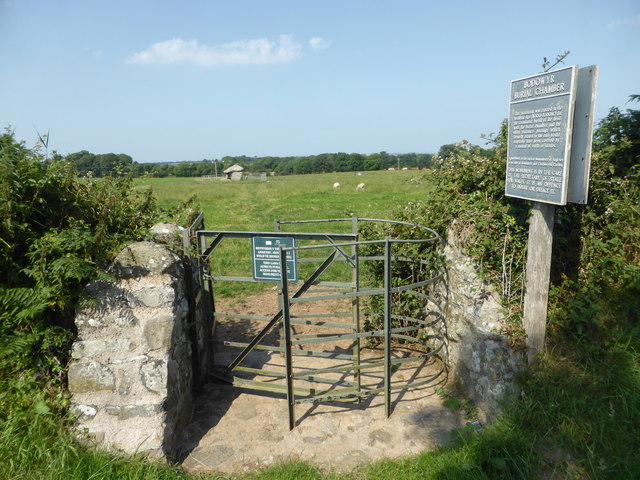
Bodowyr

Bodowyr Burial Chamber is a Neolithic burial chamber made of a few large stacked stones (also known as a dolmen or a passage grave) in a farmer's field...

Nearby Amenities

Located within 500m of 53.1784,-4.2979
Bryn Gwyn Standing Stones
Historic: archaeological_site
Source: http://www.heneb.co.uk/cadwprojs/cadwreview2010-11/funrit10-11.html
Wikidata: Q3402065
Wikipedia: en:Bryn Gwyn stones
Lat/Long: 53.1772459/-4.3022501
Historic: stone
Lat/Long: 53.1772335/-4.3024251
Historic: stone
Lat/Long: 53.1771611/-4.3023607
Historic: stone
Lat/Long: 53.1773345/-4.3022507
Historic: stone
Lat/Long: 53.177305/-4.3023754
Historic: stone
Lat/Long: 53.1772442/-4.3021005
Power: pole
Lat/Long: 53.1801948/-4.291819
Power: pole
Lat/Long: 53.1800747/-4.2933034
Power: pole
Lat/Long: 53.1799923/-4.2942375
Power: pole
Lat/Long: 53.1803525/-4.2941095
Power: pole
Lat/Long: 53.1807011/-4.2933661
Power: pole
Lat/Long: 53.1809513/-4.2928713
Power: pole
Lat/Long: 53.1798664/-4.2958594
Direction: SSW
Generator Method: photovoltaic
Generator Output Electricity: yes
Generator Solar Modules: 16
Generator Source: solar
Generator Type: solar_photovoltaic_panel
Location: roof
Power: generator
Lat/Long: 53.179519/-4.2944446
The data included in this document is from www.openstreetmap.org. The data is made available under ODbL.

Have you been to Castell Bryn Gwyn?

Leave your review of Castell Bryn Gwyn below (or comments, questions and feedback).