Yardley Gobion

Civil Parish in Northamptonshire

England

Yardley Gobion

Bridge 59 (Grand Union Canal) Bridge 59 carries a track over the canal.
Bridge 59 (Grand Union Canal) Credit: Ryan Griffiths

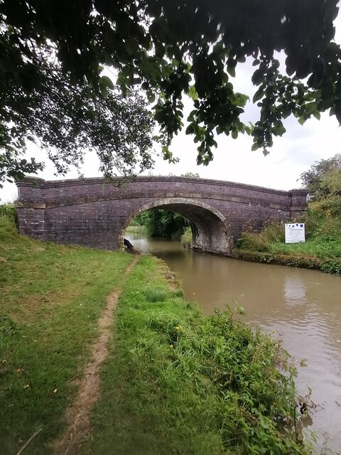
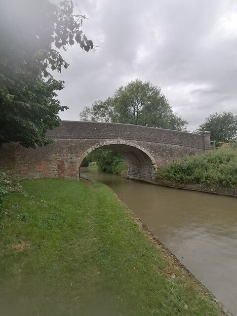
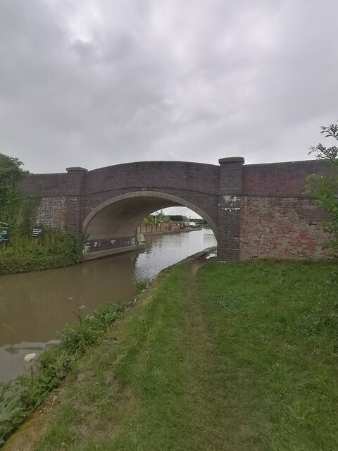
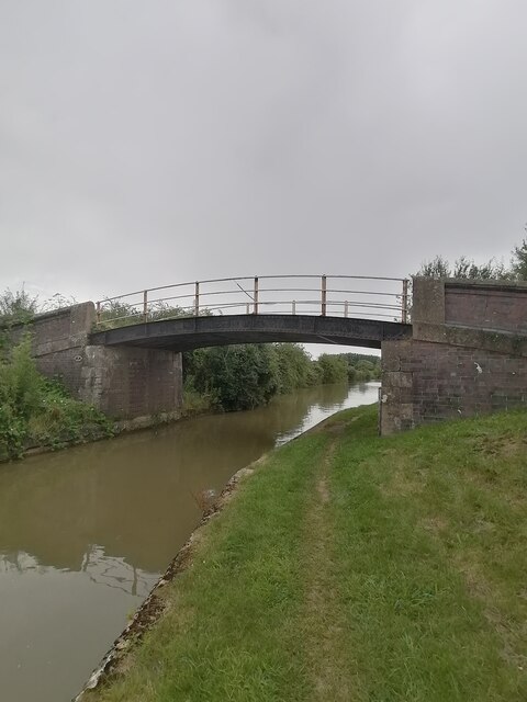
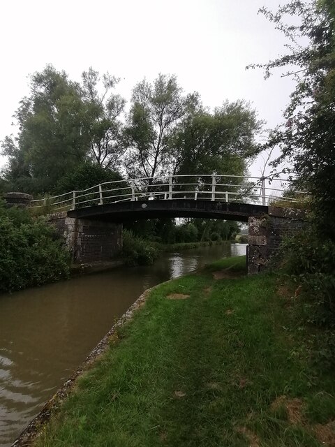
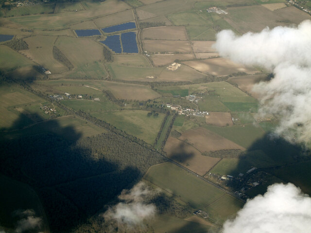
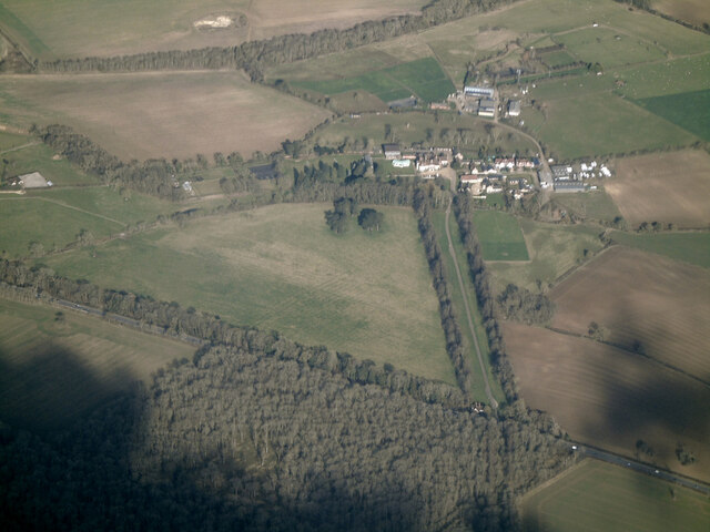
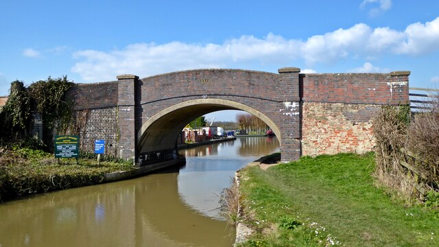
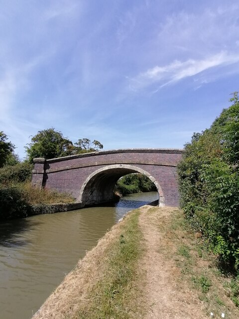
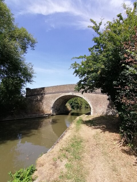
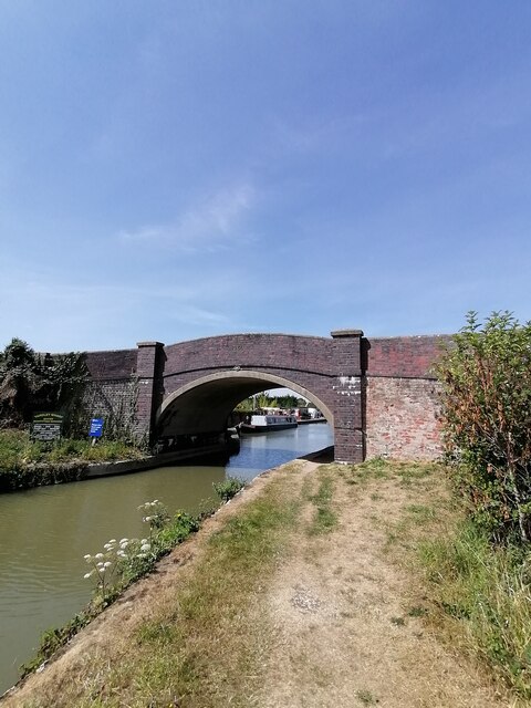
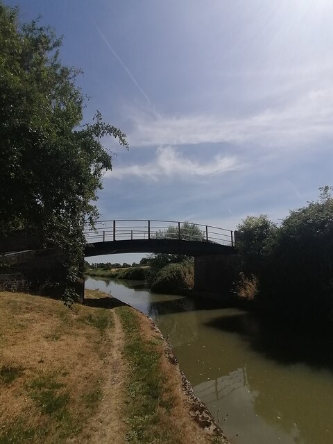
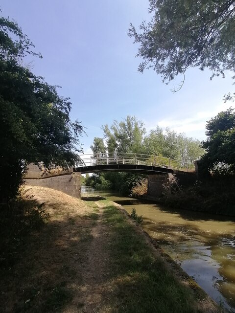
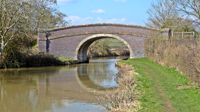
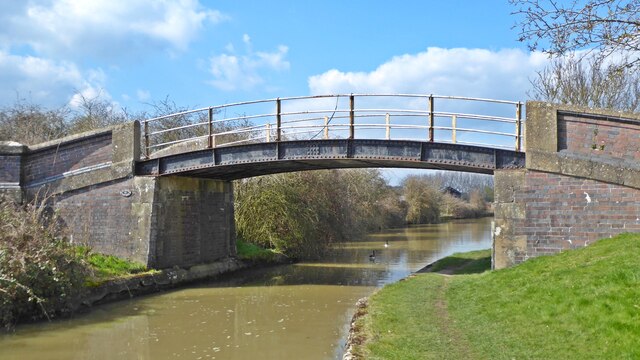
Yardley Gobion is a civil parish located in the South Northamptonshire district of Northamptonshire, England. Situated about 7 miles south-west of the county town of Northampton, the parish covers an area of approximately 2.5 square miles. It is bordered by the River Tove to the west and the Grand Union Canal to the east.

The village of Yardley Gobion is the main settlement within the parish, and it is home to a population of around 1,500 residents. The village has a rich history dating back to medieval times, and several historical buildings still stand, including the Grade II listed St. Leonard's Church, which dates back to the 13th century.

Yardley Gobion is known for its picturesque countryside and rural charm. The surrounding landscape is characterized by rolling hills, farmland, and woodlands, making it an ideal location for outdoor activities such as walking, cycling, and horse riding.

The village has a strong sense of community, with several local amenities including a primary school, village hall, and a pub. The nearby town of Towcester provides additional services and amenities, including shops, supermarkets, and healthcare facilities.

Overall, Yardley Gobion offers a tranquil and idyllic setting for residents and visitors alike, combining a rich historical heritage with natural beauty. It is a popular destination for those seeking a peaceful retreat in the heart of the Northamptonshire countryside.

If you have any feedback on the listing, please let us know in the comments section below.

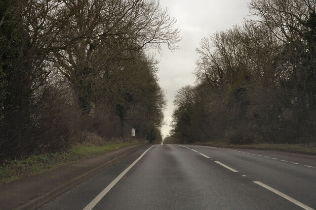
Yardley Gobion Images

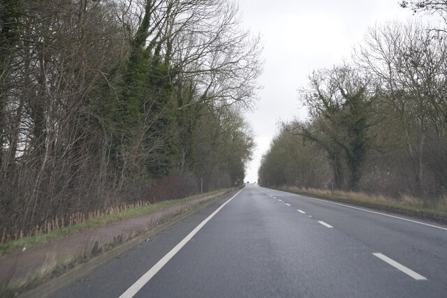
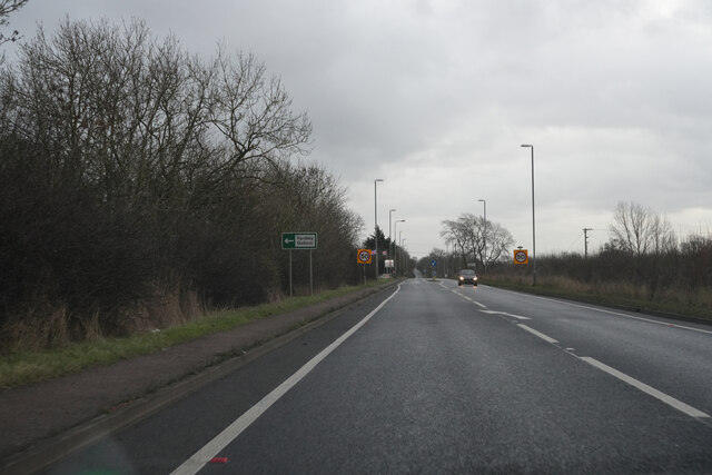
Images are sourced within 2km of 52.09712/-0.896838 or Grid Reference SP7544. Thanks to Geograph Open Source API. All images are credited.

Bridge 59 (Grand Union Canal) Bridge 59 carries a track over the canal.
Bridge 59 (Grand Union Canal)
Bridge 59 carries a track over the canal.
Bridge 58 (Grand Union Canal) Bridge 58 carries a track over the canal.
Bridge 58 (Grand Union Canal)
Bridge 58 carries a track over the canal.
Bridge 60 (Grand Union Canal)  Bridge 60 carries a farm track over the canal
Bridge 60 (Grand Union Canal)
Bridge 60 carries a farm track over the canal
Bridge 61 (Grand Union Canal) Bridge 61 carries a private footpath over the canal to corn fields.
Bridge 61 (Grand Union Canal)
Bridge 61 carries a private footpath over the canal to corn fields.
Bridge 62 (Grand Union Canal)  Bridge 62 carries a track over the canal
Bridge 62 (Grand Union Canal)
Bridge 62 carries a track over the canal
The A5 Watling Street from the air Waterslade Copse is in the foreground, with Potterspury Lodge School at the end of a tree-lined lane on the other side of the road. The residential school supports and educates students with Aspergers Syndrome and other associated challenges within the autistic spectrum.

School web site: <span class="nowrap"><a title="https://www.cambiangroup.com/specialist-education/our-schools/asperger-schools/potterspury-lodge-school/" rel="nofollow ugc noopener" href="https://www.cambiangroup.com/specialist-education/our-schools/asperger-schools/potterspury-lodge-school/">Link</a><img style="margin-left:2px;" alt="External link" title="External link - shift click to open in new window" src="https://s1.geograph.org.uk/img/external.png" width="10" height="10"/></span> .
The A5 Watling Street from the air
Waterslade Copse is in the foreground, with Potterspury Lodge School at the end of a tree-lined lane on the other side of the road. The residential school supports and educates students with Aspergers Syndrome and other associated challenges within the autistic spectrum. School web site: LinkExternal link .
Pottersbury Lodge School from the air The residential school supports and educates students with Aspergers Syndrome and other associated challenges within the autistic spectrum.

School web site: <span class="nowrap"><a title="https://www.cambiangroup.com/specialist-education/our-schools/asperger-schools/potterspury-lodge-school/" rel="nofollow ugc noopener" href="https://www.cambiangroup.com/specialist-education/our-schools/asperger-schools/potterspury-lodge-school/">Link</a><img style="margin-left:2px;" alt="External link" title="External link - shift click to open in new window" src="https://s1.geograph.org.uk/img/external.png" width="10" height="10"/></span> .
Pottersbury Lodge School from the air
The residential school supports and educates students with Aspergers Syndrome and other associated challenges within the autistic spectrum. School web site: LinkExternal link .
Yardley canal bridge, no. 60 The bridge carries a farm track across the Grand Union Canal next to Old Wharf Farm and the Kingfisher Marina.
Yardley canal bridge, no. 60
The bridge carries a farm track across the Grand Union Canal next to Old Wharf Farm and the Kingfisher Marina.
Bridge 59 (Grand Union Canal) Bridge 59 is a track bridge and farmer's accommodation bridge. There is no access to Yardley Gobion from this bridge. The bridge was built in 1924 as shown on the plaque in the middle of the bridge above the arch.
Bridge 59 (Grand Union Canal)
Bridge 59 is a track bridge and farmer's accommodation bridge. There is no access to Yardley Gobion from this bridge. The bridge was built in 1924 as shown on the plaque in the middle of the bridge above the arch.
Fessey bridge 58 (Grand Union Canal) Bridge 58 is a track bridge and farmer's accommodation bridge and is a grade II listed structure built, it is thought, to the standard design of William Jessop in about 1798.
Fessey bridge 58 (Grand Union Canal)
Bridge 58 is a track bridge and farmer's accommodation bridge and is a grade II listed structure built, it is thought, to the standard design of William Jessop in about 1798.
Yardley Bridge 60 (Grand Union Canal) Bridge 60 is a track and farmer's accommodation bridge and allows access to Yardley Gobion and the Canal. This bridge was built in 1936 as shown on the middle of the bridge above the arch.
Yardley Bridge 60 (Grand Union Canal)
Bridge 60 is a track and farmer's accommodation bridge and allows access to Yardley Gobion and the Canal. This bridge was built in 1936 as shown on the middle of the bridge above the arch.
Flat Top bridge 61 (Grand Union Canal) Bridge 61 is a farmer's accommodation bridge and is privately owned. This bridge was built in 1925 and has the same metal arch as bridges 62 and 85.
Flat Top bridge 61 (Grand Union Canal)
Bridge 61 is a farmer's accommodation bridge and is privately owned. This bridge was built in 1925 and has the same metal arch as bridges 62 and 85.
Haines bridge 62 (Grand Union Canal) Bridge 62 is a track bridge and farmer's accommodation bridge. The bridge was built in 1924, the same time as bridge 59 which is 3 bridges North.
Haines bridge 62 (Grand Union Canal)
Bridge 62 is a track bridge and farmer's accommodation bridge. The bridge was built in 1924, the same time as bridge 59 which is 3 bridges North.
Grand Union Canal bridge 59 The track across this farmer's accommodation bridge marks the boundary between the parishes of Yardley Gobion and Grafton Regis.
Grand Union Canal bridge 59
The track across this farmer's accommodation bridge marks the boundary between the parishes of Yardley Gobion and Grafton Regis.
Grand Union Canal bridge 61 This farmer's accommodation bridge is unusual in having a metal arch.
Grand Union Canal bridge 61
This farmer's accommodation bridge is unusual in having a metal arch.
The A5 Watling Street Returning to Milton Keynes after the Christmas Day park run.
The A5 Watling Street
Returning to Milton Keynes after the Christmas Day park run.
The A5 Watling Street Returning to Milton Keynes after the Christmas Day park run.
The A5 Watling Street
Returning to Milton Keynes after the Christmas Day park run.
The A5 Watling Street Returning to Milton Keynes after the Christmas Day park run.
The A5 Watling Street
Returning to Milton Keynes after the Christmas Day park run.
Show me another place!

Yardley Gobion is located at Grid Ref: SP7544 (Lat: 52.09712, Lng: -0.896838)

Unitary Authority: West Northamptonshire

Police Authority: Northamptonshire

What 3 Words

///shark.crisp.livid. Near Potterspury, Northamptonshire

Nearby Locations

Yardley Gobion Moor End

Related Wikis

Moor End Castle

The site of Moor End Castle (historically known as Moreende) is situated opposite Moor End Farm, along Moor End Road in the civil parish of Yardley Gobion...

Yardley Gobion

Yardley Gobion ( YARD-lee-GOH-bee-ən) is a village in the south of the English county of Northamptonshire off a by-pass of the A508 Northampton to Milton...

Potterspury Lodge School

Potterspury Lodge School is a Cambian Group school in Northamptonshire, England. It is an Independent School that caters to children with ASD [autism spectrum...

Potterspury

Potterspury is a populous village and civil parish in West Northamptonshire, England. The nearest main town is Milton Keynes, the centre of which is about...

Nearby Amenities

Located within 500m of 52.09712,-0.896838
Barrier: kissing_gate
Lat/Long: 52.0963621/-0.9036724
Barrier: stile
Lat/Long: 52.1009951/-0.8987058
Barrier: stile
Lat/Long: 52.0964437/-0.9036623
Barrier: stile
Lat/Long: 52.0993419/-0.8911581
Barrier: stile
Lat/Long: 52.0987586/-0.891716
Barrier: stile
Lat/Long: 52.0974568/-0.8928267
Barrier: stile
Lat/Long: 52.0978456/-0.8929501
Barrier: stile
Lat/Long: 52.098129/-0.893052
Barrier: stile
Lat/Long: 52.0965378/-0.903784
Barrier: stile
Lat/Long: 52.0965076/-0.9037433
Barrier: kissing_gate
Lat/Long: 52.0957235/-0.89126
Barrier: kissing_gate
Lat/Long: 52.0964351/-0.8921937
Barrier: stile
Lat/Long: 52.0964253/-0.8963672
Barrier: kissing_gate
Lat/Long: 52.0953639/-0.8976357
Place: farm
Lat/Long: 52.0937452/-0.8993367
Building: yes
Lat/Long: 52.0950484/-0.8974711
Moor End
Place: hamlet
Lat/Long: 52.09387/-0.897564
Direction: 190
Generator Method: photovoltaic
Generator Output Electricity: yes
Generator Solar Modules: 18
Generator Source: solar
Generator Type: solar_photovoltaic_panel
Location: roof
Power: generator
Lat/Long: 52.0969779/-0.8920722
Direction: SSW
Generator Method: photovoltaic
Generator Output Electricity: yes
Generator Solar Modules: 12
Generator Source: solar
Generator Type: solar_photovoltaic_panel
Location: roof
Power: generator
Lat/Long: 52.0974439/-0.8917879
Direction: 185
Generator Method: photovoltaic
Generator Output Electricity: yes
Generator Solar Modules: 8
Generator Source: solar
Generator Type: solar_photovoltaic_panel
Location: roof
Power: generator
Lat/Long: 52.0971697/-0.891518
Direction: 195
Generator Method: photovoltaic
Generator Output Electricity: yes
Generator Solar Modules: 12
Generator Source: solar
Generator Type: solar_photovoltaic_panel
Location: roof
Power: generator
Lat/Long: 52.0973345/-0.8898188
The data included in this document is from www.openstreetmap.org. The data is made available under ODbL.

Have you been to Yardley Gobion?

Leave your review of Yardley Gobion below (or comments, questions and feedback).