Allendale Town
Settlement in Northumberland
England
Allendale Town
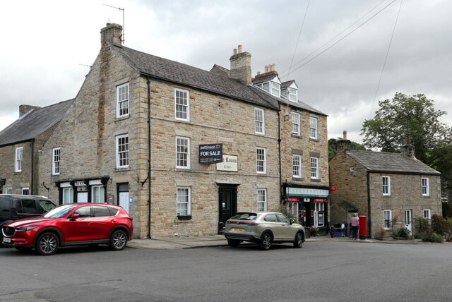
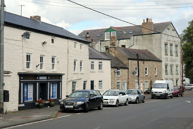
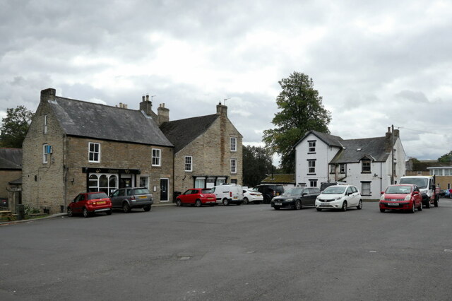
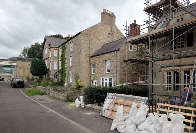
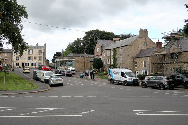
Allendale Town is a picturesque village located in the county of Northumberland, in the northeast of England. Situated in the Allen Valley, it is surrounded by stunning natural landscapes, including the North Pennines Area of Outstanding Natural Beauty. With a population of around 2,000 residents, the village offers a peaceful and close-knit community.
The village is known for its rich history, with evidence of human settlement dating back to Roman times. Allendale Town is famous for its annual Tar Barl ceremony, a unique tradition that takes place on New Year's Eve. Participants carry burning whiskey barrels on their heads through the streets, creating a mesmerizing sight for locals and visitors alike.
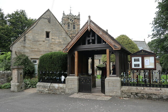
Allendale Town boasts a range of amenities and facilities that cater to the needs of its residents. These include a village hall, a primary school, a church, and several pubs and restaurants that offer a taste of the local cuisine. The village also has a small number of shops, providing everyday essentials to the community.
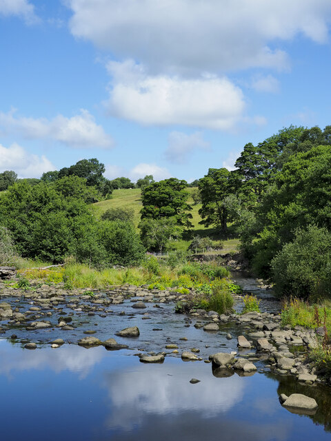
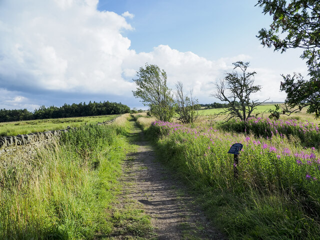
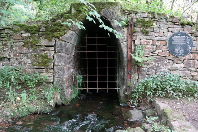
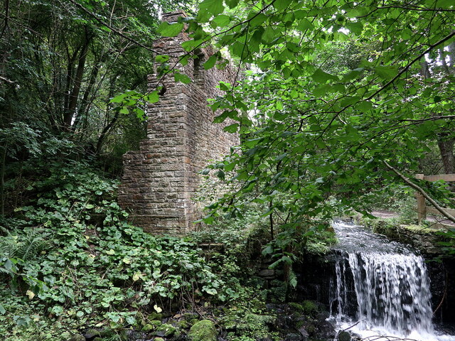
The surrounding countryside offers countless opportunities for outdoor activities, such as hiking, cycling, and fishing. The nearby Allen Banks and Staward Gorge, managed by the National Trust, provide picturesque walking trails along the River Allen. Furthermore, Allendale Town is within reach of Hadrian's Wall, a UNESCO World Heritage Site, offering a fascinating glimpse into Roman history.
Allendale Town is well-connected to other parts of Northumberland, with regular bus services and easy access to major road networks. The nearest railway station is located in Hexham, approximately 10 miles away.
Overall, Allendale Town is a charming village that combines natural beauty, historical significance, and a strong sense of community, making it an attractive place to live or visit.
If you have any feedback on the listing, please let us know in the comments section below.
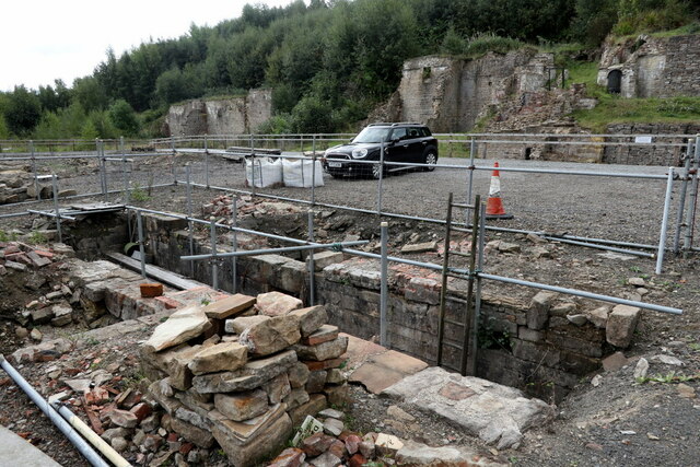
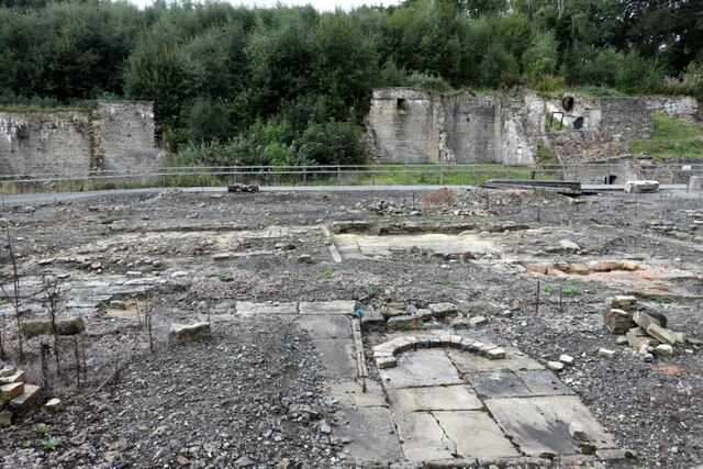
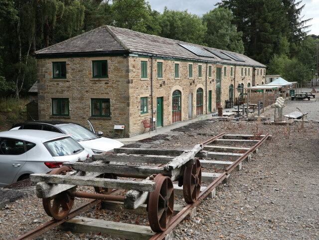
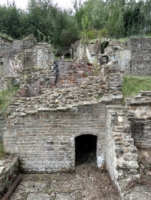
Allendale Town Images
Images are sourced within 2km of 54.897026/-2.2537187 or Grid Reference NY8355. Thanks to Geograph Open Source API. All images are credited.

Allendale Town is located at Grid Ref: NY8355 (Lat: 54.897026, Lng: -2.2537187)
Unitary Authority: Northumberland
Police Authority: Northumbria
What 3 Words
///bandaged.waking.curve. Near Haydon Bridge, Northumberland
Nearby Locations
Related Wikis
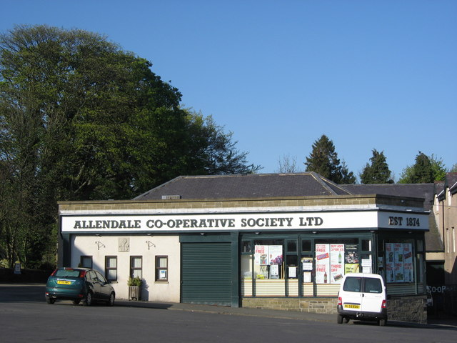
Allendale Co-operative Society
Allendale Co-operative Society is a small consumer co-operative in the village of Allendale, Northumberland, England. Founded in 1874 as the Allendale...

Museum of Classic Sci-Fi
The Museum of Classic Sci-Fi is in Allendale, Northumberland in England. The museum opened in 2018 and houses a collection of more than 200 props, costumes...

Allendale, Northumberland
Allendale, often marked on maps as Allendale Town, is a village and civil parish in south west Northumberland, England. It is located within the North...

Allendale railway station
Allendale railway station was the terminus of the single track branch of the Hexham and Allendale Railway, in north east England. The line connected villages...

Catton, Northumberland
Catton is a village in Northumberland, England. It is about 7 miles (11 km) to the southwest of Hexham and is located on the outskirts of Allendale �...
Acton, Northumberland
Acton is a small hamlet in Northumberland, north-east England, about 3 miles (5 km) south of Allendale Town. Acton is usually Anglo-Saxon Old English...

Sinderhope
Sinderhope is a hamlet situated on the east Allen Valley in south-west Northumberland. The population is spread over farms in an area approximately 25...

Allen Confluence Gravels
The Allen Confluence Gravels is the name given to a Site of Special Scientific Interest (SSSI) in Northumberland, England. The site, listed since 1968...
Nearby Amenities
Located within 500m of 54.897026,-2.2537187Have you been to Allendale Town?
Leave your review of Allendale Town below (or comments, questions and feedback).