Allen End

Settlement in Warwickshire North Warwickshire

England

Allen End

M6Toll
M6Toll Credit: Alexander P Kapp

Allen End is a small village located in Warwickshire, England. Situated in the North Warwickshire district, it is nestled in the picturesque countryside, surrounded by rolling hills and verdant landscapes. The village is located approximately 6 miles northeast of the town of Tamworth and 12 miles northwest of the city of Coventry.

Historically, Allen End was primarily an agricultural community, with farming being the main occupation of its residents. However, over time, the village has evolved and diversified, adapting to the changing economic landscape. Today, while agriculture still plays a role, the village is also home to a mix of other industries and professions.

The village itself is characterized by a charming and idyllic atmosphere, with a small cluster of houses and cottages, some of which date back several centuries. The village also boasts a local pub, which serves as a gathering place for both residents and visitors.

For those who enjoy exploring the outdoors, Allen End offers plenty of opportunities, with numerous footpaths and trails that wind through the surrounding countryside. The village is also conveniently located near two larger country parks, Pooley Country Park and Kingsbury Water Park, which provide additional recreational activities such as fishing, cycling, and birdwatching.

In terms of amenities, Allen End has limited facilities within the village itself, with residents typically relying on nearby towns for their shopping and other needs. However, this rural setting offers a peaceful and tranquil lifestyle, making it an attractive place for those seeking a slower pace of life away from the hustle and bustle of larger towns and cities.

If you have any feedback on the listing, please let us know in the comments section below.
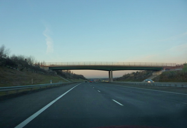
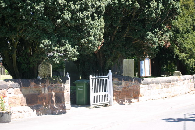
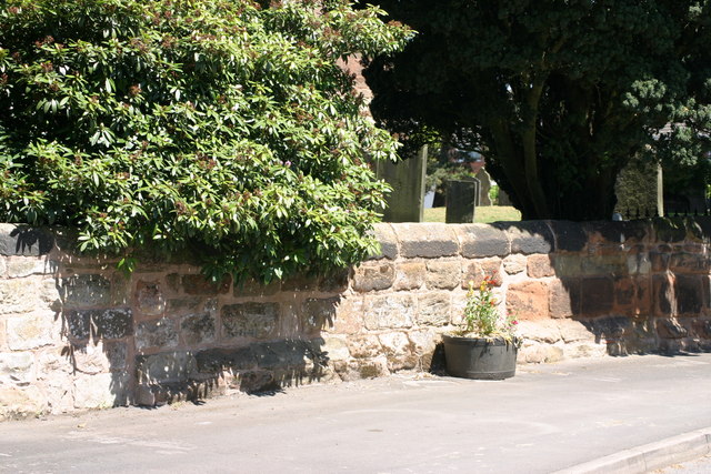
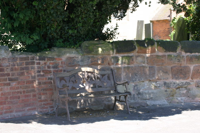
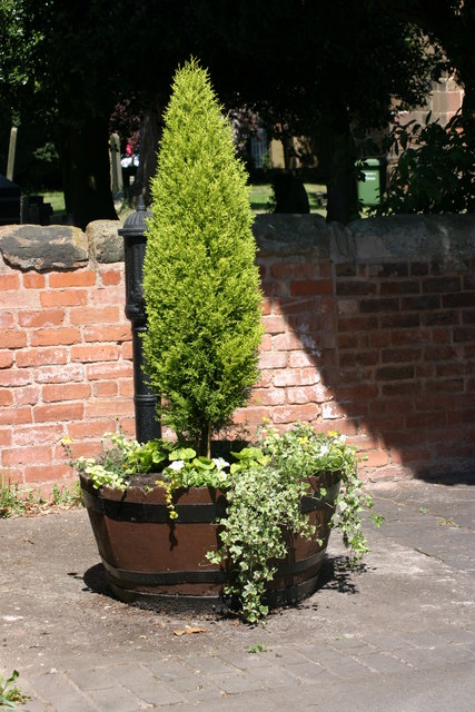
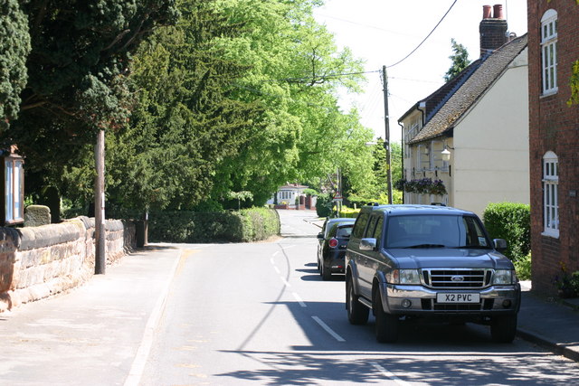
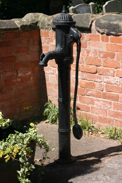
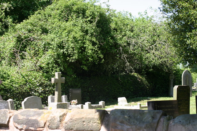
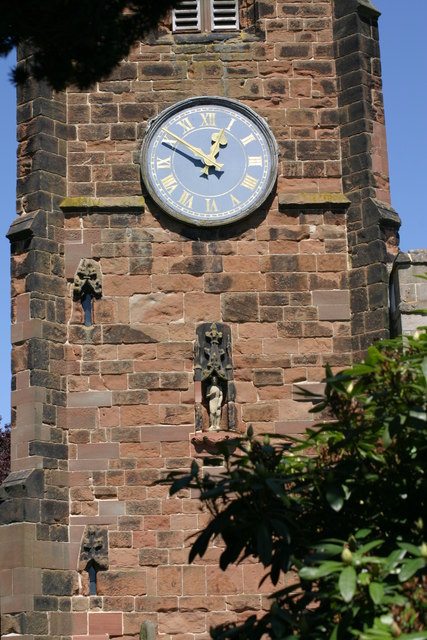
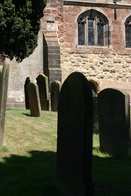
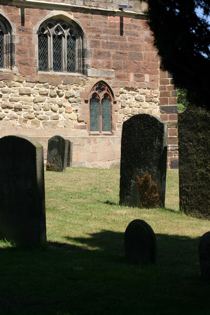
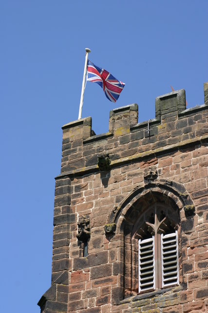
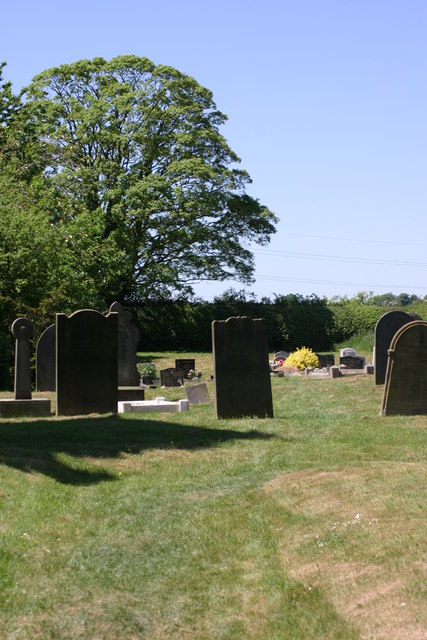
Allen End Images

Images are sourced within 2km of 52.567038/-1.755796 or Grid Reference SP1696. Thanks to Geograph Open Source API. All images are credited.

St John the Baptist, Church, Church Gates  (1) This photograph shows a view of this churches, Church gate.
St John the Baptist, Church, Church Gates (1)
This photograph shows a view of this churches, Church gate.
St John the Baptist, Church, Church Wall This photograph shows a section of St John the Baptists, Church, Church wall. This photograph <a href="https://www.geograph.org.uk/photo/2339184">SP1798 : St John the Baptist, Church, Church Gates  (1)</a> shows a view of the Main Church gates, situated along this length of wall.
St John the Baptist, Church, Church Wall
This photograph shows a section of St John the Baptists, Church, Church wall. This photograph SP1798 : St John the Baptist, Church, Church Gates (1) shows a view of the Main Church gates, situated along this length of wall.
Village Bench This photograph shows a view of a Bench situated outside, the Church wall of St John the Baptist, Church.
Village Bench
This photograph shows a view of a Bench situated outside, the Church wall of St John the Baptist, Church.
Tree and plant display, outside St John the Baptist, Church This tree and plant display is located outside, St John the Baptist Church, note the old black water pump behind the tree.
Tree and plant display, outside St John the Baptist, Church
This tree and plant display is located outside, St John the Baptist Church, note the old black water pump behind the tree.
Church Lane (1) The above photograph shows a view of Church Lane, part of which is located next to, St John the Baptist, Church. This photograph <a href="https://www.geograph.org.uk/photo/2339184">SP1798 : St John the Baptist, Church, Church Gates  (1)</a> shows a view next to this Church.
Church Lane (1)
The above photograph shows a view of Church Lane, part of which is located next to, St John the Baptist, Church. This photograph SP1798 : St John the Baptist, Church, Church Gates (1) shows a view next to this Church.
Original Old Water Pump The above photograph shows a view of an old water pump, which is an original. The above water pump can also be seen partially in this photograph <a href="https://www.geograph.org.uk/photo/2339241">SP1798 : Tree and plant display, outside St John the Baptist, Church</a> behind the tree.
Original Old Water Pump
The above photograph shows a view of an old water pump, which is an original. The above water pump can also be seen partially in this photograph SP1798 : Tree and plant display, outside St John the Baptist, Church behind the tree.
St John the Baptist, Church, Graveyard  (1) The above photograph shows a view of St John the Baptists, Churches Graveyard taken the other side of the Graveyard wall, while standing on the public foot path. This photograph <a href="https://www.geograph.org.uk/photo/2339201">SP1798 : St John the Baptist, Church, Church Wall</a> shows a view of this wall from another angle.
St John the Baptist, Church, Graveyard (1)
The above photograph shows a view of St John the Baptists, Churches Graveyard taken the other side of the Graveyard wall, while standing on the public foot path. This photograph SP1798 : St John the Baptist, Church, Church Wall shows a view of this wall from another angle.
St John the Baptist, Church, Church Tower  (1) This photograph shows the Churches, Church Tower, note the statue in a recess of the tower wall, below the Clock face. This photograph <a href="https://www.geograph.org.uk/photo/2345978">SP1798 : St John the Baptist, Church, Graveyard  (1)</a> shows a view of this Churches Graveyard.
St John the Baptist, Church, Church Tower (1)
This photograph shows the Churches, Church Tower, note the statue in a recess of the tower wall, below the Clock face. This photograph SP1798 : St John the Baptist, Church, Graveyard (1) shows a view of this Churches Graveyard.
St John the Baptist, Church, Graveyard  (2) This photograph <a href="https://www.geograph.org.uk/photo/2345978">SP1798 : St John the Baptist, Church, Graveyard  (1)</a> shows another view of this Graveyard.
St John the Baptist, Church, Graveyard (2)
This photograph SP1798 : St John the Baptist, Church, Graveyard (1) shows another view of this Graveyard.
St John the Baptist, Church (1) This photograph <a href="https://www.geograph.org.uk/photo/2345978">SP1798 : St John the Baptist, Church, Graveyard  (1)</a> shows a view of this Churches Graveyard.
St John the Baptist, Church (1)
This photograph SP1798 : St John the Baptist, Church, Graveyard (1) shows a view of this Churches Graveyard.
St John the Baptist, Church, Graveyard  (4) This photograph <a href="https://www.geograph.org.uk/photo/2353327">SP1798 : St John the Baptist, Church (1)</a> shows a view of the Church located in this Graveyard.
St John the Baptist, Church, Graveyard (4)
This photograph SP1798 : St John the Baptist, Church (1) shows a view of the Church located in this Graveyard.
St John the Baptist, Church, Graveyard  (5) This photograph <a href="https://www.geograph.org.uk/photo/2353348">SP1798 : St John the Baptist, Church, Graveyard  (3)</a> shows another view of this Graveyard.
St John the Baptist, Church, Graveyard (5)
This photograph SP1798 : St John the Baptist, Church, Graveyard (3) shows another view of this Graveyard.
St John the Baptist, Church, Graveyard  (6) This photograph <a href="https://www.geograph.org.uk/photo/2346009">SP1798 : St John the Baptist, Church, Church Tower  (1)</a> shows a view of the Church next to this Graveyard.
St John the Baptist, Church, Graveyard (6)
This photograph SP1798 : St John the Baptist, Church, Church Tower (1) shows a view of the Church next to this Graveyard.
St John the Baptist, Church Tower  (2) The above photograph shows the Union Flag fluttering in the Wind atop of the Church Tower. This photograph <a href="https://www.geograph.org.uk/photo/2346009">SP1798 : St John the Baptist, Church, Church Tower  (1)</a> shows another view of this tower.
St John the Baptist, Church Tower (2)
The above photograph shows the Union Flag fluttering in the Wind atop of the Church Tower. This photograph SP1798 : St John the Baptist, Church, Church Tower (1) shows another view of this tower.
St John the Baptist, Church, Graveyard  (7) This photograph <a href="https://www.geograph.org.uk/photo/2353295">SP1798 : St John the Baptist, Church, Main entrance</a> shows a view of the Main entrance of the Church where this Graveyard is located.
St John the Baptist, Church, Graveyard (7)
This photograph SP1798 : St John the Baptist, Church, Main entrance shows a view of the Main entrance of the Church where this Graveyard is located.
St John the Baptist, Church, Church Gates  (2) This photograph <a href="https://www.geograph.org.uk/photo/2339184">SP1798 : St John the Baptist, Church, Church Gates  (1)</a> shows another view of these Church Gates but from another viewpoint.
St John the Baptist, Church, Church Gates (2)
This photograph SP1798 : St John the Baptist, Church, Church Gates (1) shows another view of these Church Gates but from another viewpoint.
St John the Baptist, Church, Graveyard  (9) The above photograph shows the Tomb of the De Hamel Family. This photograph <a href="https://www.geograph.org.uk/photo/2362430">SP1798 : St John the Baptist, Church, Graveyard  (6)</a> shows another view of this Graveyard.
St John the Baptist, Church, Graveyard (9)
The above photograph shows the Tomb of the De Hamel Family. This photograph SP1798 : St John the Baptist, Church, Graveyard (6) shows another view of this Graveyard.
Show me another place!

Allen End is located at Grid Ref: SP1696 (Lat: 52.567038, Lng: -1.755796)

Administrative County: Warwickshire

District: North Warwickshire

Police Authority: Warwickshire

What 3 Words

///tools.clap.misty. Near Curdworth, Warwickshire

Nearby Locations

Cock Hill Allen End

Related Wikis

Nearby Amenities

Located within 500m of 52.567038,-1.755796
Allen End
Place: hamlet
Lat/Long: 52.5680652/-1.7575144
Motorway Junction
Langley Mill
Ref: T3
Lat/Long: 52.5641747/-1.760619
Bus Stop
Middleton Lane
Bus: yes
Naptan AtcoCode: 4200F001300
Naptan Bearing: NE
Naptan CommonName: Middleton Lane
Naptan Indicator: Adj
Naptan NaptanCode: wardgwdw
Naptan Street: Middleton Lane
Naptan Verified: no
Public Transport: platform
Source: naptan_import
Lat/Long: 52.567018/-1.7570369
The data included in this document is from www.openstreetmap.org. The data is made available under ODbL.

Have you been to Allen End?

Leave your review of Allen End below (or comments, questions and feedback).