Worthington

Civil Parish in Lancashire Wigan

England

Worthington

Kilhey Court Hotel This is the view from the car park towards the main building in a shower of rain.
Kilhey Court Hotel Credit: Malcolm Neal

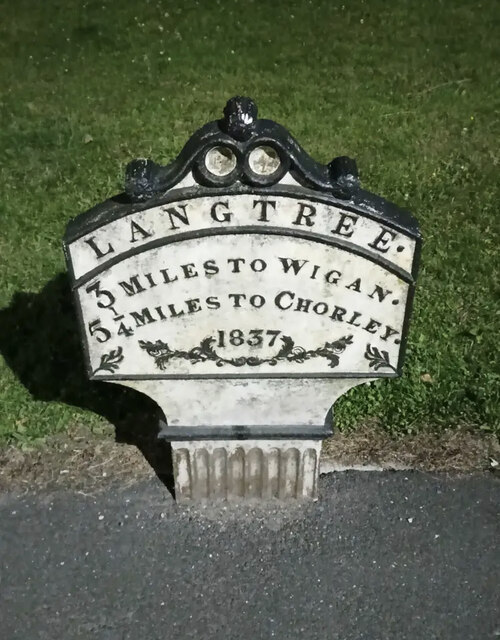
Worthington is a civil parish located in the county of Lancashire, in the northwest region of England. It is situated approximately 5 miles south of the town of Wigan and 11 miles west of the city of Manchester. The parish covers an area of around 3 square miles and has a population of around 1,500 residents.

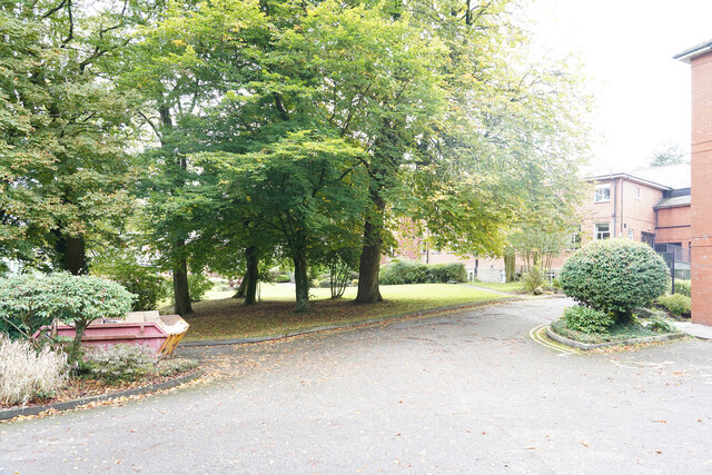
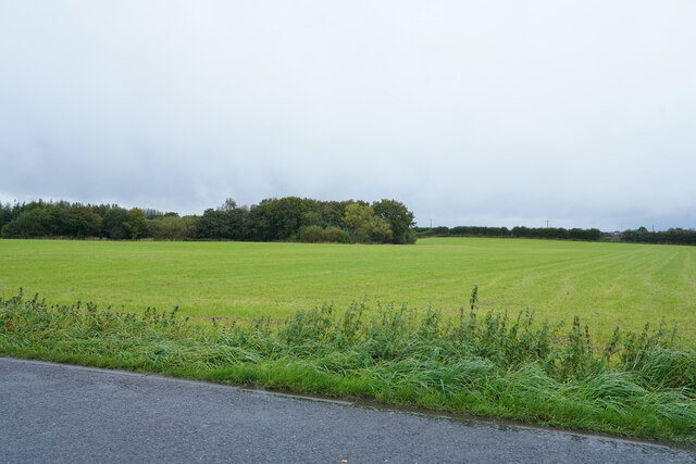
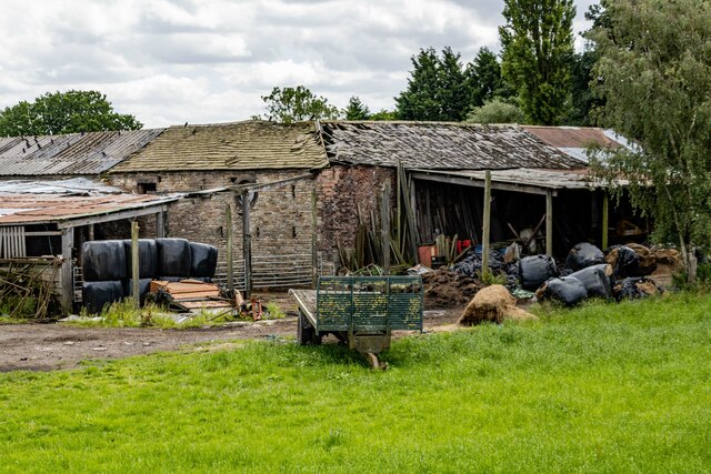
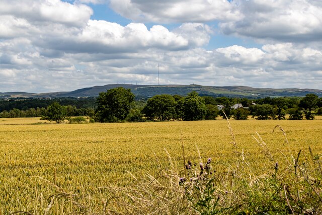
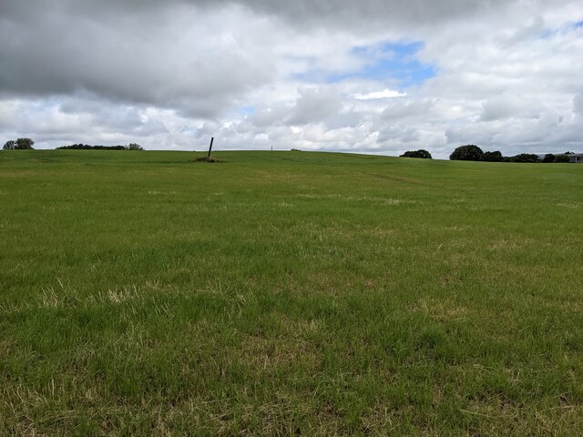
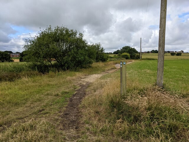
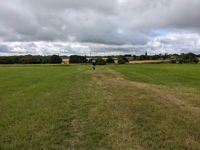
The landscape of Worthington is predominantly rural, characterized by rolling hills, open countryside, and a number of small farms. The parish is surrounded by picturesque natural beauty, with nearby landmarks including Haigh Hall Country Park and Worthington Lakes.

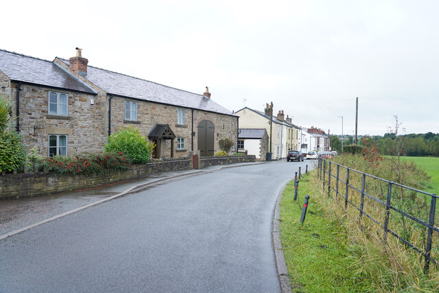
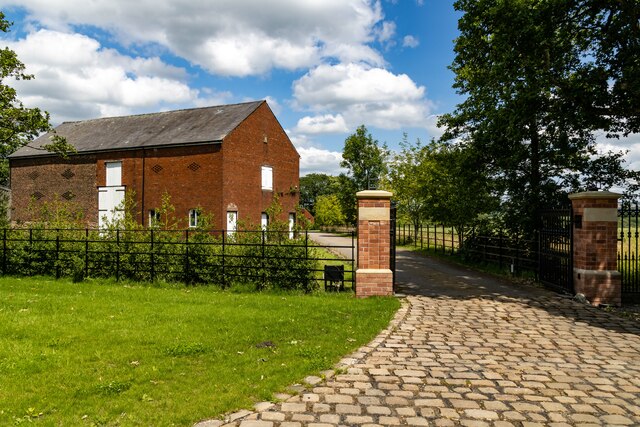
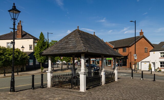
The village itself is small and compact, with a traditional English charm. It comprises mainly of residential houses, a village hall, and a local pub. The architecture in the village is a mix of old and new, with some historic buildings alongside more modern developments.

Worthington has a strong sense of community, with various local events and activities taking place throughout the year. The village hall serves as a hub for social gatherings, clubs, and recreational activities. The local pub also provides a focal point for residents to meet and socialize.

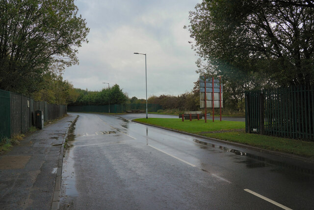
Despite its rural setting, Worthington benefits from good transportation links. The village is well-connected by road, with the A49 passing through the parish, providing easy access to nearby towns and cities. The closest railway station is located in Wigan, offering regular services to Manchester and other parts of the country.

Overall, Worthington offers a peaceful and idyllic setting for residents, with its natural beauty, strong community spirit, and convenient location making it an attractive place to live.

If you have any feedback on the listing, please let us know in the comments section below.
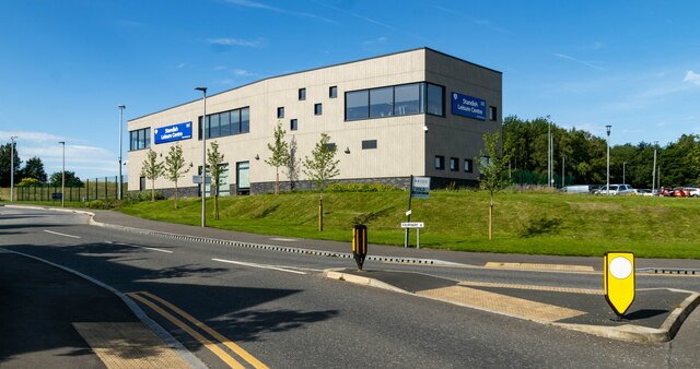
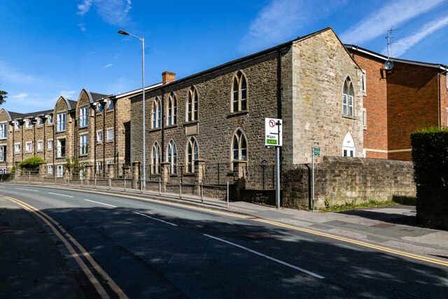
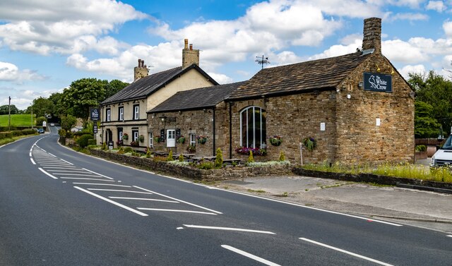
Worthington Images

Images are sourced within 2km of 53.599428/-2.641848 or Grid Reference SD5711. Thanks to Geograph Open Source API. All images are credited.

Kilhey Court Hotel This is the view from the car park towards the main building in a shower of rain.
Kilhey Court Hotel
This is the view from the car park towards the main building in a shower of rain.
A green field in the rain This might be grass in the field or an Autumn planted crop of some sort of cereal.
A green field in the rain
This might be grass in the field or an Autumn planted crop of some sort of cereal.
Cottages in the country An interesting row of cottages with one very large door which might have been a coach entrance.
Cottages in the country
An interesting row of cottages with one very large door which might have been a coach entrance.
Bradley Lane We have just passed the industrial estate and are about to enter the village of Standish.
Bradley Lane
We have just passed the industrial estate and are about to enter the village of Standish.
Coppull Hall Barn at entrance to Coppull Hall.
Coppull Hall
Barn at entrance to Coppull Hall.
Worthington Hall Farm buildings at Worthington Hall.
Worthington Hall
Farm buildings at Worthington Hall.
Standish Market place in Standish.
Standish
Market place in Standish.
Disused Tip Reclamation work on a disused tip at Standish.
Disused Tip
Reclamation work on a disused tip at Standish.
Standish Leisure Centre
Old Chapel Old chapel in Standish.
Old Chapel
Old chapel in Standish.
White Crow Hotel
White Crow Hotel
Coppull Brow Farm
Coppull Brow Farm
Old Milepost by the A5106, Chorley Road, Standish parish Cast iron post by the A5106, in parish of STANDISH (WIGAN District), Chorley Road; Worthington; opposite junction with Devon Drive, on grassed area, on East side of road. Wigan fan iron casting, erected by the Wigan & Preston (south of Yarrow) turnpike trust in the 19th century. An earlier photograph can be found here <a title="https://www.geograph.org.uk/photo/6049856" href="https://www.geograph.org.uk/photo/6049856">Link</a>.

Inscription reads:-
LANGTREE.
3 MILES TO WIGAN.
5¼ MILES TO CHORLEY.
1837
Maker:-
HAIGH FOUNDRY

Grade II listed. 
List Entry Number: 1228467 <span class="nowrap"><a title="https://historicengland.org.uk/listing/the-list/list-entry/1228467" rel="nofollow ugc noopener" href="https://historicengland.org.uk/listing/the-list/list-entry/1228467">Link</a><img style="margin-left:2px;" alt="External link" title="External link - shift click to open in new window" src="https://s1.geograph.org.uk/img/external.png" width="10" height="10"/></span>

Milestone Society National ID: LA_WGCY03.
Old Milepost by the A5106, Chorley Road, Standish parish
Cast iron post by the A5106, in parish of STANDISH (WIGAN District), Chorley Road; Worthington; opposite junction with Devon Drive, on grassed area, on East side of road. Wigan fan iron casting, erected by the Wigan & Preston (south of Yarrow) turnpike trust in the 19th century. An earlier photograph can be found here Link. Inscription reads:- LANGTREE. 3 MILES TO WIGAN. 5¼ MILES TO CHORLEY. 1837 Maker:- HAIGH FOUNDRY Grade II listed. List Entry Number: 1228467 LinkExternal link Milestone Society National ID: LA_WGCY03.
A large field near Langtree Hall
A marker post at the path junction
A large field near Cross Farm
A grassy bridleway
A grassy bridleway
A narrow path through the fields
Show me another place!

Worthington is located at Grid Ref: SD5711 (Lat: 53.599428, Lng: -2.641848)

Administrative County: Greater Manchester

District: Wigan

Police Authority: Greater Manchester

What 3 Words

///melons.stammer.lobby. Near Adlington, Lancashire

Nearby Locations

Worthington

Related Wikis

Wigan Rural District

Wigan Rural District was an administrative district in Lancashire, England from 1894 to 1974. The rural district comprised an area to the north, but did...

Westhoughton (UK Parliament constituency)

Westhoughton was a parliamentary constituency in Lancashire, England. Centred on the former mining and cotton town of Westhoughton, it returned one Member...

Standish railway station

Standish railway station is a closed railway station in Standish, England, situated where the line bridged Rectory Lane (the B5239). Standish was in the...

Adlington Hall, Lancashire

Adlington Hall was a Georgian country house, now demolished, in Adlington, Lancashire, England, between Wigan and Chorley. The house was constructed in...

Worthington Lakes

Worthington Lakes is a series of three reservoirs in the north of the borough of Wigan, Greater Manchester (from south to north: Worthington, Arley and...

Worthington, Greater Manchester

Worthington is a civil parish within the Metropolitan Borough of Wigan, in Greater Manchester, England, about four miles (6.4 km) north of Wigan. The parish...

Red Rock railway station

Red Rock railway station stood in Red Rock, a hamlet between Standish and Haigh, originally in Lancashire now within Greater Manchester, England. The railway...

St Wilfrid's Church, Standish

The Church of St Wilfrid is in Market Place, Standish, Wigan, Greater Manchester, England. It is an active Anglican parish church in the Diocese of Blackburn...

Nearby Amenities

Located within 500m of 53.599428,-2.641848
Bus Stop
Platt Lane
Bus: yes
Naptan AtcoCode: 1800WKH4631
Naptan Bearing: E
Naptan CommonName: Platt Lane
Naptan Indicator: E-bound
Naptan Verified: no
Network: TfGM
Public Transport: platform
Source: naptan;bing;naptan_compare_tool
Lat/Long: 53.5972835/-2.6422805
Bus Stop
Platt Lane
Bus: yes
Naptan AtcoCode: 1800WKH0781
Naptan Bearing: W
Naptan CommonName: Platt Lane
Naptan Indicator: W-bound
Naptan Verified: no
Network: TfGM
Public Transport: platform
Source: naptan;bing;naptan_compare_tool
Lat/Long: 53.5972125/-2.6421132
The data included in this document is from www.openstreetmap.org. The data is made available under ODbL.

Have you been to Worthington?

Leave your review of Worthington below (or comments, questions and feedback).