Worthington
Civil Parish in Leicestershire North West Leicestershire
England
Worthington
Worthington is a civil parish located in the county of Leicestershire, England. Situated approximately 8 miles southwest of the city of Loughborough, Worthington is a small and charming village with a population of around 600 residents.
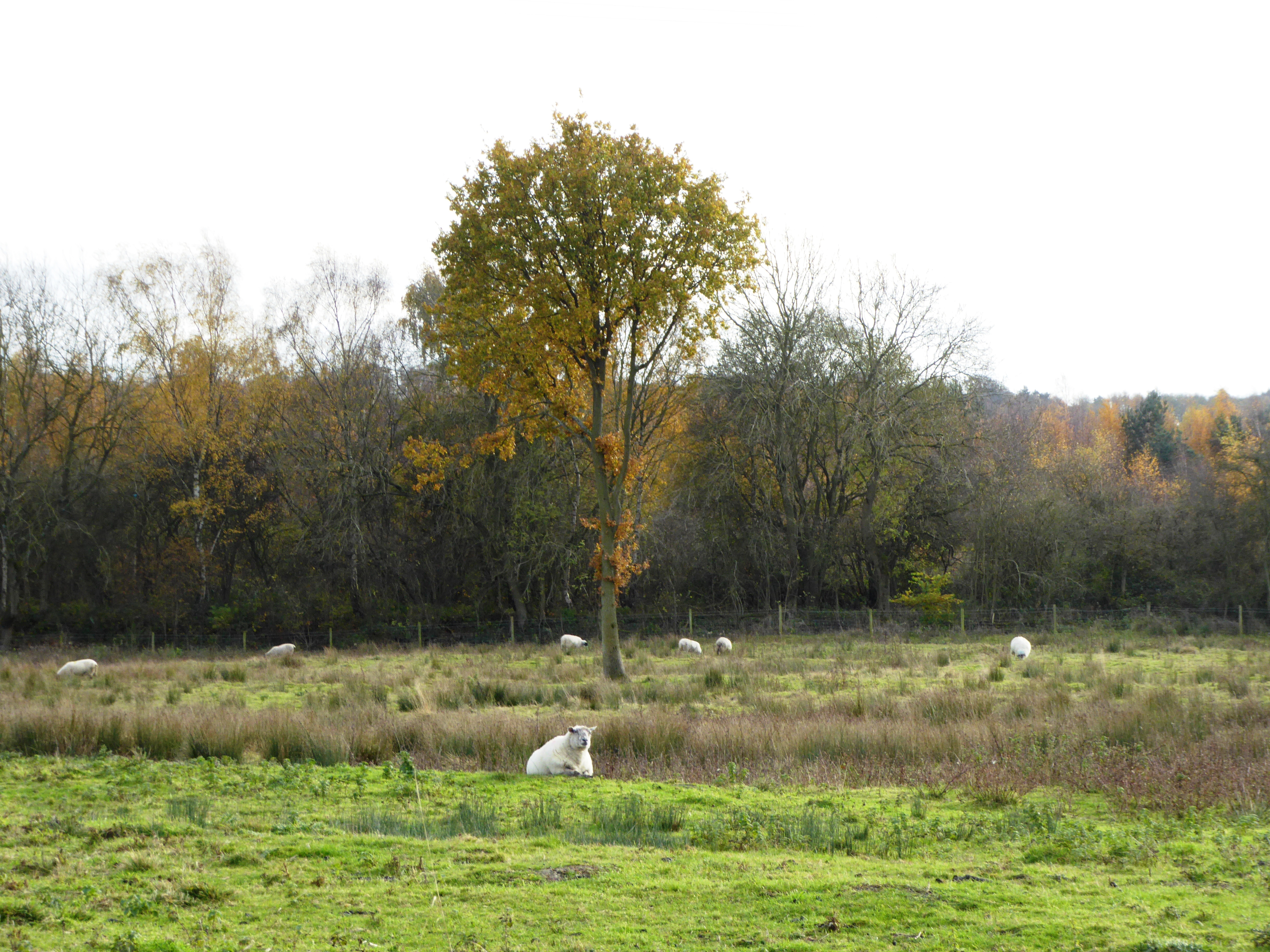
The village is primarily residential, with a mix of traditional stone cottages and more modern housing developments. The parish is surrounded by picturesque countryside, offering stunning views and a tranquil atmosphere. Worthington is known for its peaceful and idyllic setting, making it a desirable place to live for those seeking a rural lifestyle.
Although small in size, Worthington has a strong sense of community. The village features a local pub, The Bull's Head, which serves as a social hub for residents and visitors alike. Additionally, the nearby St. Matthew's Church is a focal point for religious activities and community events.
Worthington is well-connected to neighboring towns and cities, with easy access to major road networks such as the A512 and A42. This makes it convenient for residents to commute to nearby employment centers or access amenities and services in larger towns.
Overall, Worthington offers a peaceful and picturesque setting for residents, with a strong sense of community and easy access to amenities and transport links. It is an ideal location for those seeking a rural lifestyle while still being within reach of larger urban areas.
If you have any feedback on the listing, please let us know in the comments section below.
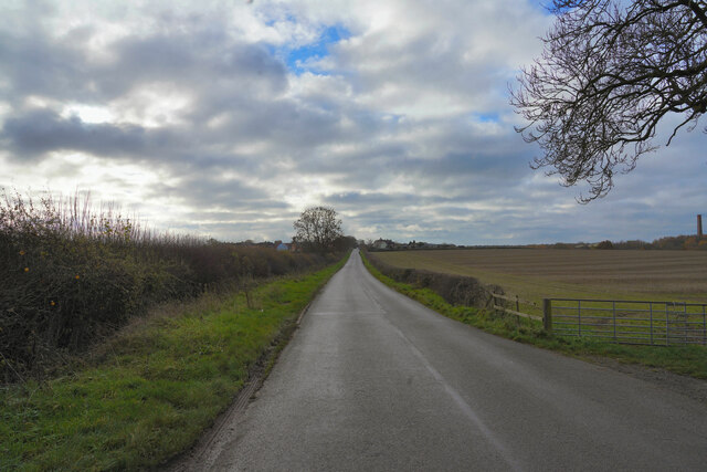
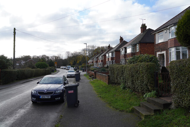
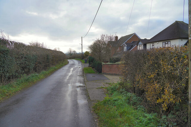
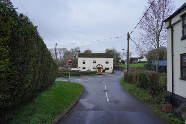
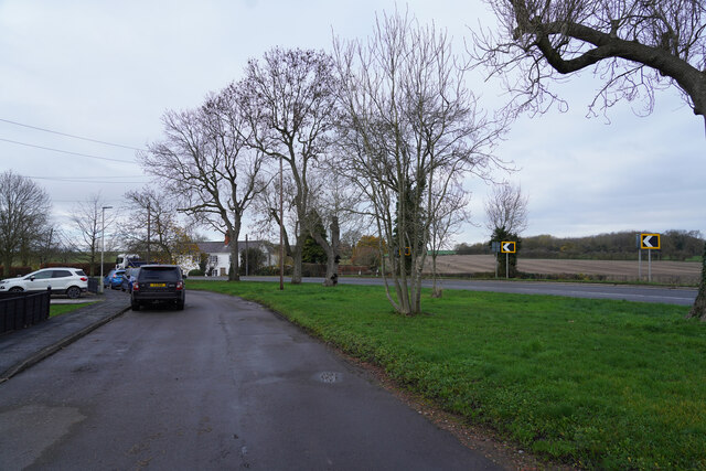
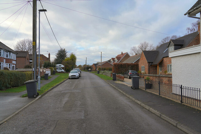
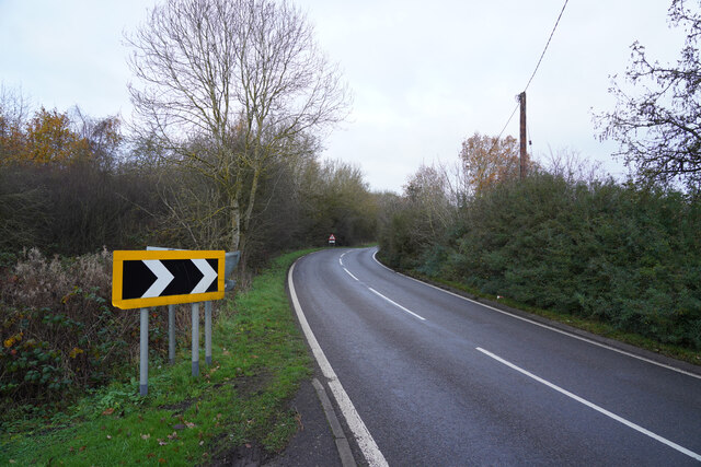
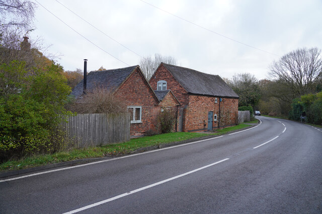
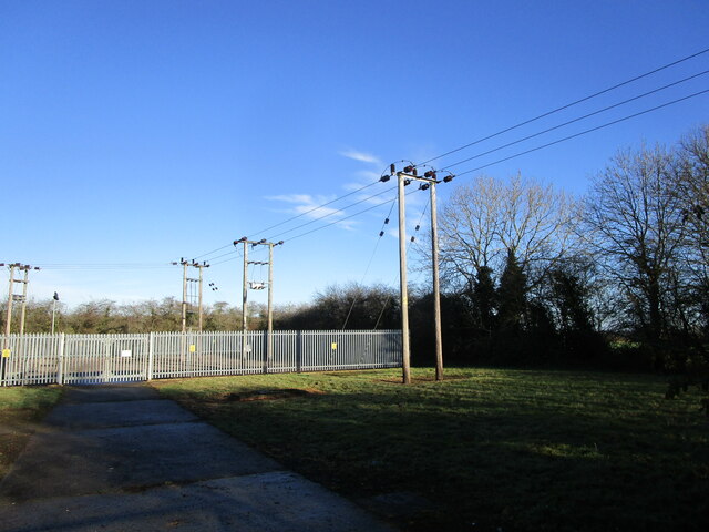
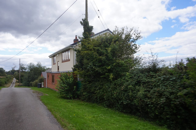
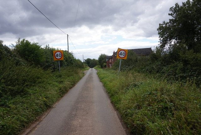
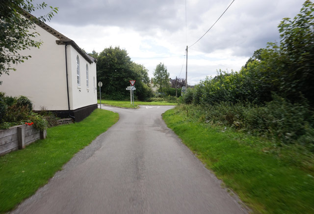
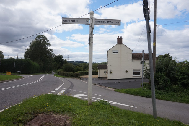
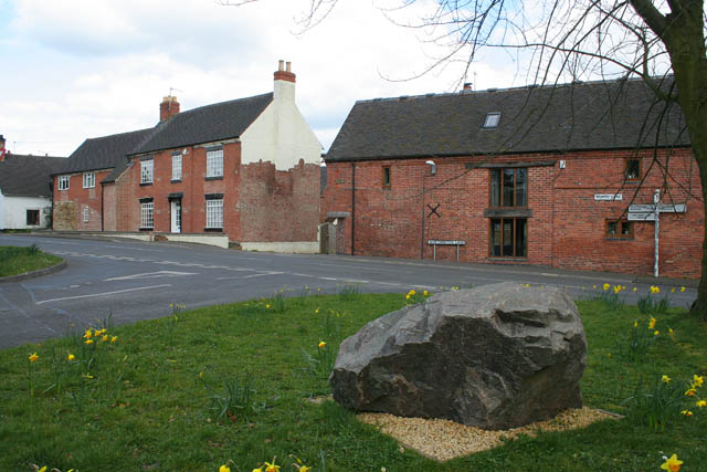
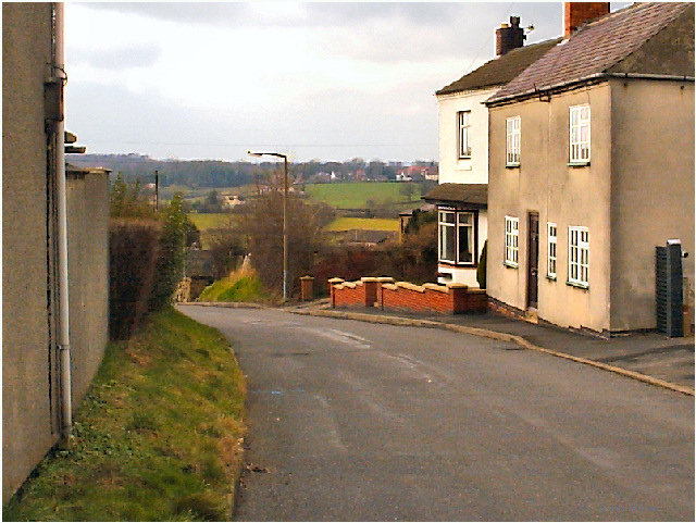
Worthington Images
Images are sourced within 2km of 52.77506/-1.400773 or Grid Reference SK4019. Thanks to Geograph Open Source API. All images are credited.


Worthington is located at Grid Ref: SK4019 (Lat: 52.77506, Lng: -1.400773)
Administrative County: Leicestershire
District: North West Leicestershire
Police Authority: Leicestershire
What 3 Words
///receive.berated.renewals. Near Melbourne, Derbyshire
Nearby Locations
Related Wikis

Worthington, Leicestershire
Worthington is a village and civil parish in North West Leicestershire, England, about 4 miles (6.4 km) north of the town of Coalville and a similar distance...
Newbold Coleorton
Newbold otherwise Newbold Coleorton is a large hamlet in the parish of Worthington, Leicestershire, England. It is situated in the North West Leicestershire...

Worthington railway station
Worthington railway station was a station at Worthington, Leicestershire, England. == History == The station opened on 1 October 1869 when the Midland...
Gelsmoor
Gelsmoor is a hamlet within the parish of Worthington in the English county of Leicestershire. It is noted for having a 'petrifying spring' in a nineteenth...
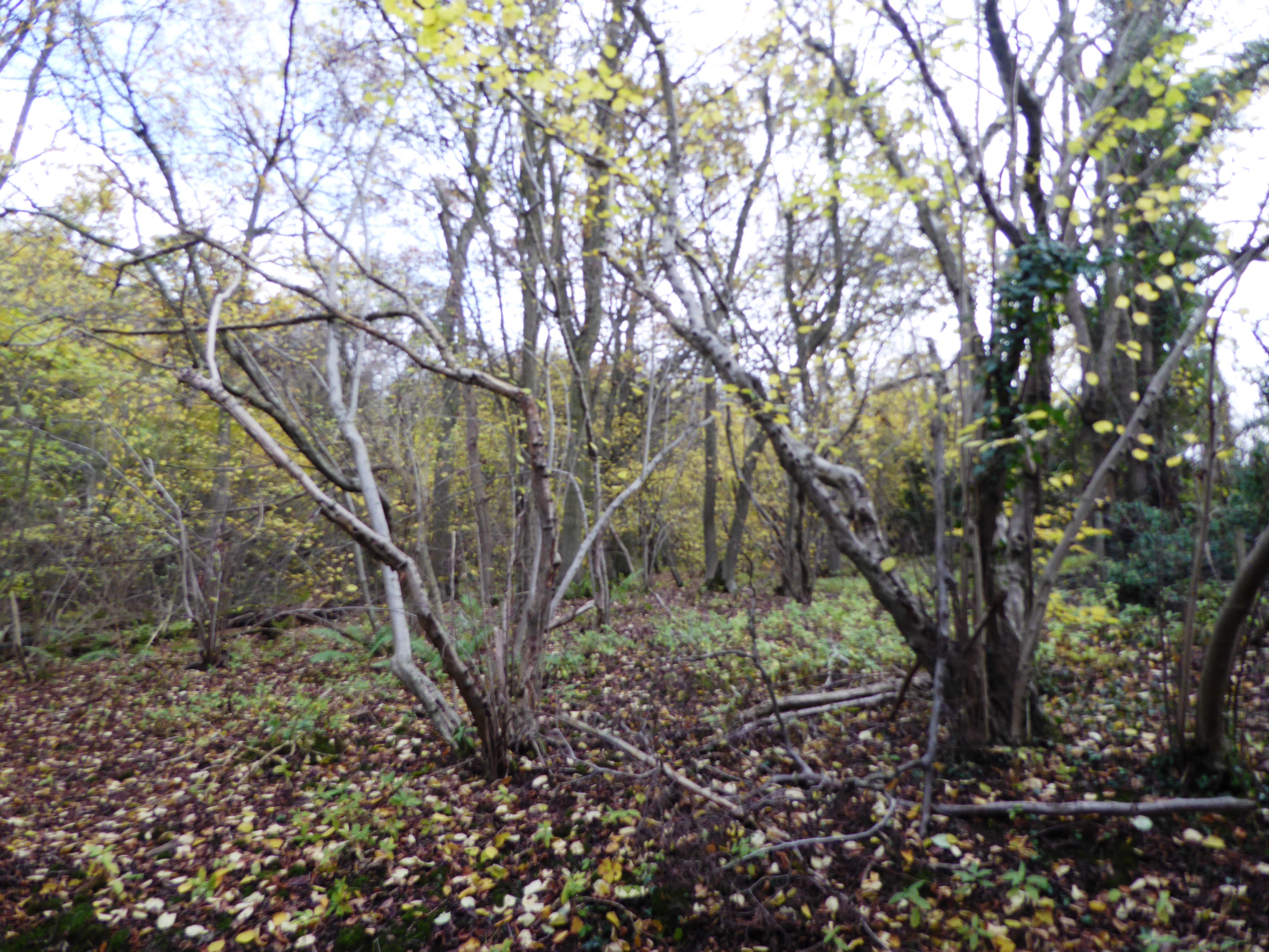
Breedon Cloud Wood and Quarry
Breedon Cloud Wood and Quarry is a 63.3 hectares (156 acres) biological and geological Site of Special Scientific Interest north-east of Worthington in...
Griffydam
Griffydam is a hamlet within the parish of Worthington, Leicestershire . == History == Griffydam is most famously associated with a chalybeate well, or...
Lount
Lount is a hamlet near Ashby de la Zouch in north-west Leicestershire, England. It has a population of 50 (approx). At the 2011 census the population...
Lount Meadows
Lount Meadows is a 8.5 hectares (21 acres) biological Site of Special Scientific Interest south of Lount in Leicestershire, England.This slightly acidic...
Nearby Amenities
Located within 500m of 52.77506,-1.400773Have you been to Worthington?
Leave your review of Worthington below (or comments, questions and feedback).