Bucks Hill
Settlement in Hertfordshire Three Rivers
England
Bucks Hill
Bucks Hill is a small village located in Hertfordshire, England. Situated approximately 26 miles northwest of London, it falls within the borough of Dacorum. The village is surrounded by picturesque countryside and offers a tranquil and rural setting.
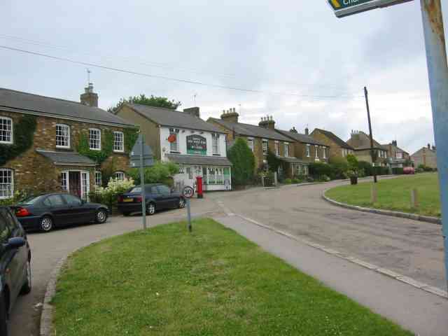
Bucks Hill is known for its charming cottages and traditional architecture, which adds to its quaint and idyllic atmosphere. The village is home to a close-knit community, with a population of around 500 residents. The community has a strong sense of pride and regularly organizes social events and activities for its members.
In terms of amenities, Bucks Hill has a local pub and a village hall that serves as a hub for community gatherings and events. The village is also well-connected to neighboring towns and cities, with excellent transport links, including bus services and nearby railway stations.
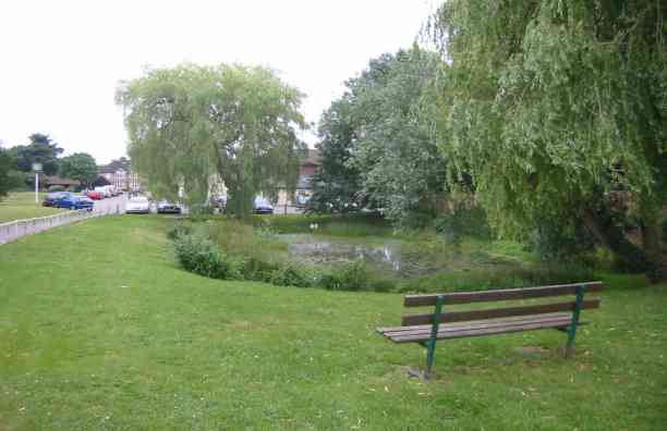
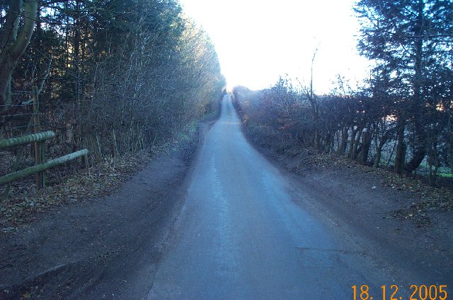
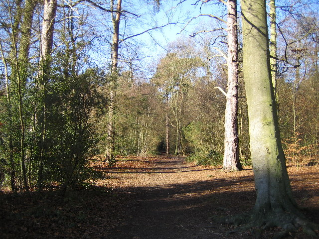
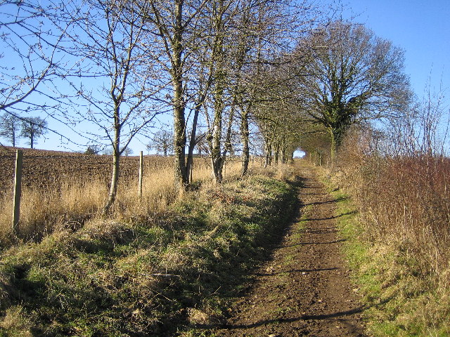
Nature enthusiasts will be delighted by the stunning surrounding countryside, which offers numerous walking and cycling routes. The village is also conveniently located near several parks and nature reserves, providing ample opportunities for outdoor activities.
Bucks Hill benefits from its proximity to major towns, such as Hemel Hempstead and Watford, where residents can access a wider range of amenities, including shopping centers, restaurants, and entertainment facilities.
Overall, Bucks Hill offers a peaceful and charming lifestyle, making it an attractive place to reside for those seeking a countryside setting while still being within easy reach of urban amenities.
If you have any feedback on the listing, please let us know in the comments section below.
Bucks Hill Images
Images are sourced within 2km of 51.690422/-0.475124 or Grid Reference TL0500. Thanks to Geograph Open Source API. All images are credited.


Bucks Hill is located at Grid Ref: TL0500 (Lat: 51.690422, Lng: -0.475124)
Administrative County: Hertfordshire
District: Three Rivers
Police Authority: Hertfordshire
What 3 Words
///stage.flag.splash. Near Kings Langley, Hertfordshire
Nearby Locations
Related Wikis

Sarratt
Sarratt is both a village and a civil parish in Three Rivers District, Hertfordshire, England. It is situated 4 miles (6.4 km) north of Rickmansworth...

The Manor House, Chipperfield
The Manor House (formerly known as Pingelsgate) is a country house in Chipperfield, Hertfordshire, England. It dates from the late medieval period. It...
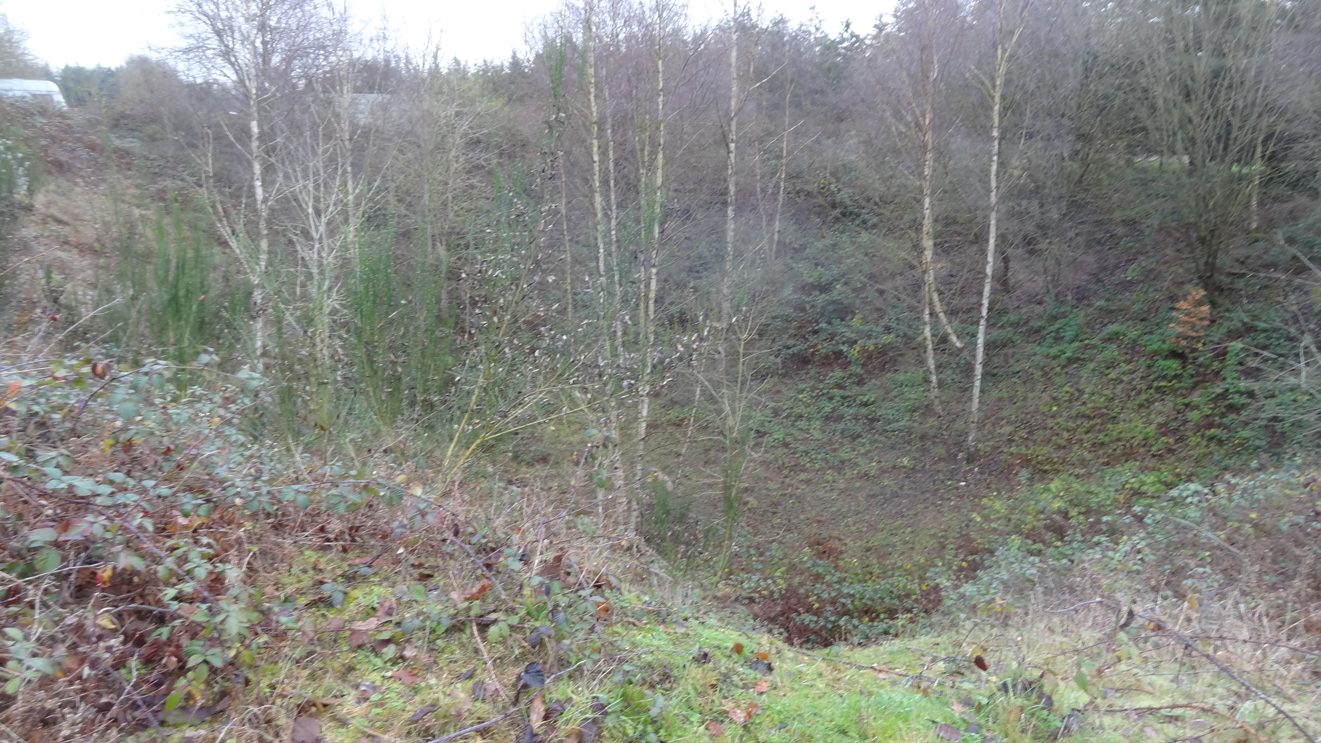
Westwood Quarry
Westwood Quarry is a 0.07 hectares (0.17 acres) geological site of Special Scientific Interest west of Watford in Hertfordshire. It was notified in 1987...

Chipperfield
Chipperfield is a village and civil parish in the Dacorum district of Hertfordshire, England, approximately five miles southwest of Hemel Hempstead and...

Belsize, Hertfordshire
Belsize is a hamlet in Sarratt civil parish, Three Rivers District, Hertfordshire, England, situated less than a mile from Chipperfield and Sarratt.Belsize...
Langleybury
Langleybury is a country house and estate in Abbots Langley, Hertfordshire, England, about 3 miles (5 km) northwest of the centre of the town of Watford...
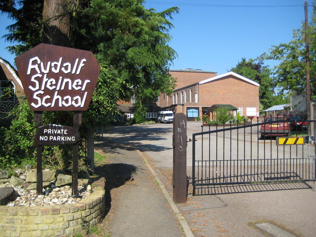
Rudolf Steiner School Kings Langley
Rudolf Steiner School Kings Langley was a Steiner School located in Kings Langley, Hertfordshire, England, formed in 1949. The school catered for pupils...

Kings Langley Palace
Kings Langley Palace was a 13th-century Royal Palace which was located to the west of the Hertfordshire village of Kings Langley in England. During the...
Nearby Amenities
Located within 500m of 51.690422,-0.475124Have you been to Bucks Hill?
Leave your review of Bucks Hill below (or comments, questions and feedback).