Westow
Civil Parish in Yorkshire Ryedale
England
Westow

Westow is a small civil parish located in the Ryedale district of North Yorkshire, England. Situated approximately 11 miles north-east of the city of York, it lies within the Howardian Hills Area of Outstanding Natural Beauty.
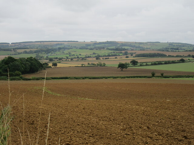
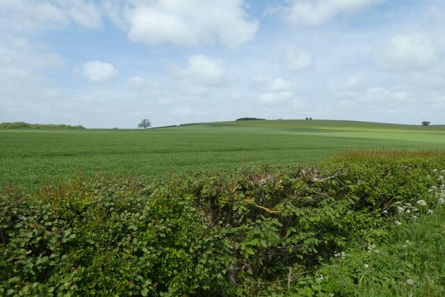
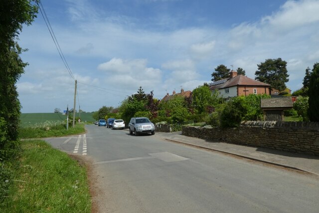
The village of Westow is home to a population of around 350 residents. It is predominantly a rural community with a charming countryside setting. The landscape is characterized by rolling hills, green pastures, and picturesque farmland. The area is known for its tranquility and natural beauty, attracting visitors seeking a peaceful retreat.
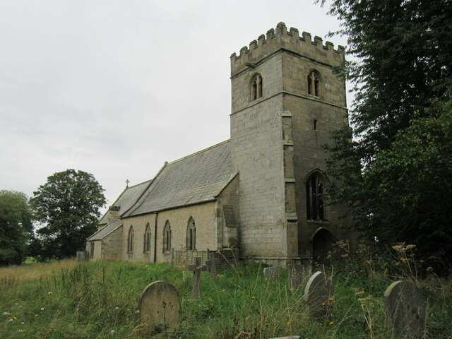
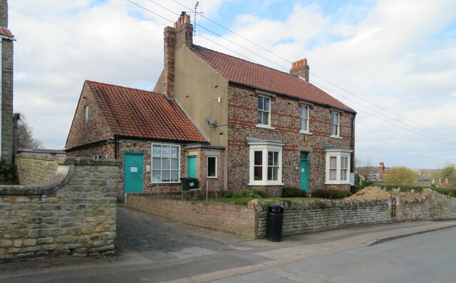
Westow features a variety of architectural styles, with many traditional stone-built houses and cottages. The centerpiece of the village is the All Saints Church, a Grade II listed building dating back to the 12th century. The church is renowned for its Norman architecture and serves as a focal point for community events and religious services.
The village also boasts a primary school, providing education for local children aged 4 to 11. Additionally, there is a village hall that hosts various social activities and gatherings. Although limited in amenities, Westow benefits from its close proximity to nearby towns and villages, offering residents access to a wider range of services.
The surrounding area offers ample opportunities for outdoor pursuits, such as walking, cycling, and horse riding, with numerous footpaths and bridleways crisscrossing the countryside. Westow is also within easy reach of the Howardian Hills, where visitors can explore nature reserves, historic sites, and enjoy breathtaking views.
Overall, Westow is a tranquil and picturesque village, providing a peaceful retreat for residents and visitors alike, with its beautiful landscapes and historic charm.
If you have any feedback on the listing, please let us know in the comments section below.
Westow Images
Images are sourced within 2km of 54.082367/-0.84815 or Grid Reference SE7565. Thanks to Geograph Open Source API. All images are credited.


Westow is located at Grid Ref: SE7565 (Lat: 54.082367, Lng: -0.84815)
Division: East Riding
Administrative County: North Yorkshire
District: Ryedale
Police Authority: North Yorkshire
What 3 Words
///blaring.managed.steepest. Near Malton, North Yorkshire
Nearby Locations
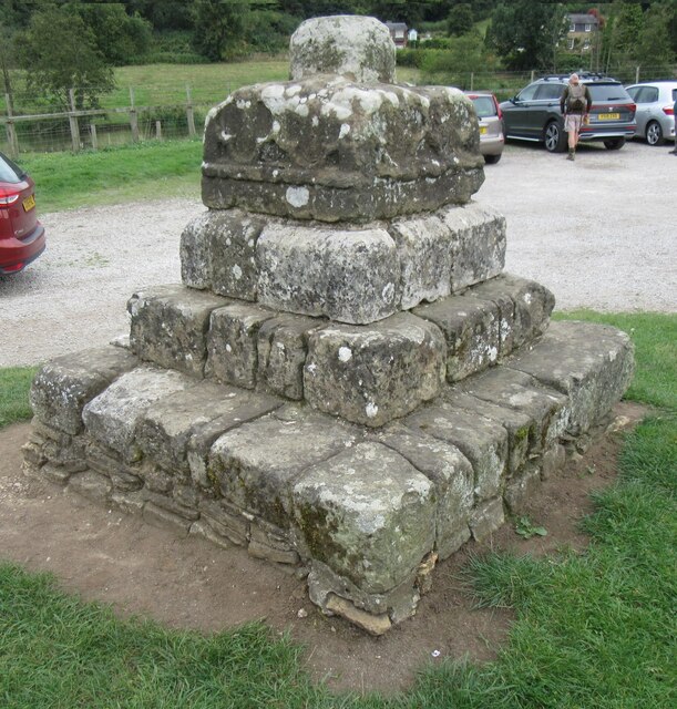
Related Wikis

Westow
Westow is a village and civil parish in North Yorkshire, England. Westow is situated in the lee of Spy Hill, bordering the Howardian Hills Area of Outstanding...

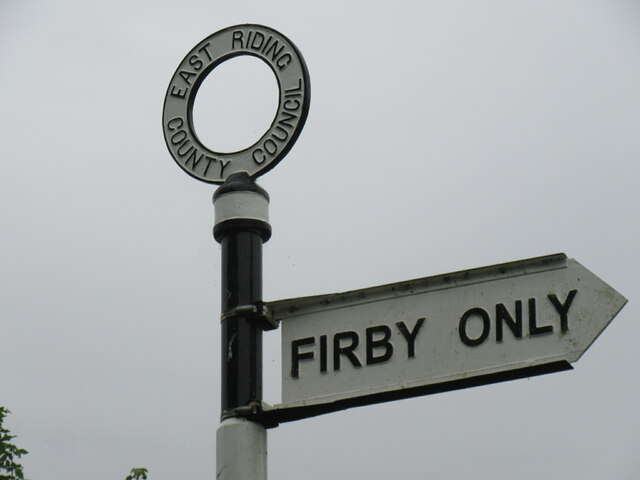
Firby, Ryedale
Firby is a village in the civil parish of Westow, in North Yorkshire, England, 4 miles (6 km) south west of Malton. Firby was historically a township in...

Kirkham, North Yorkshire
Kirkham is a village in the civil parish of Westow, in North Yorkshire, England, close to Malton, situated in the Howardian Hills alongside the River Derwent...
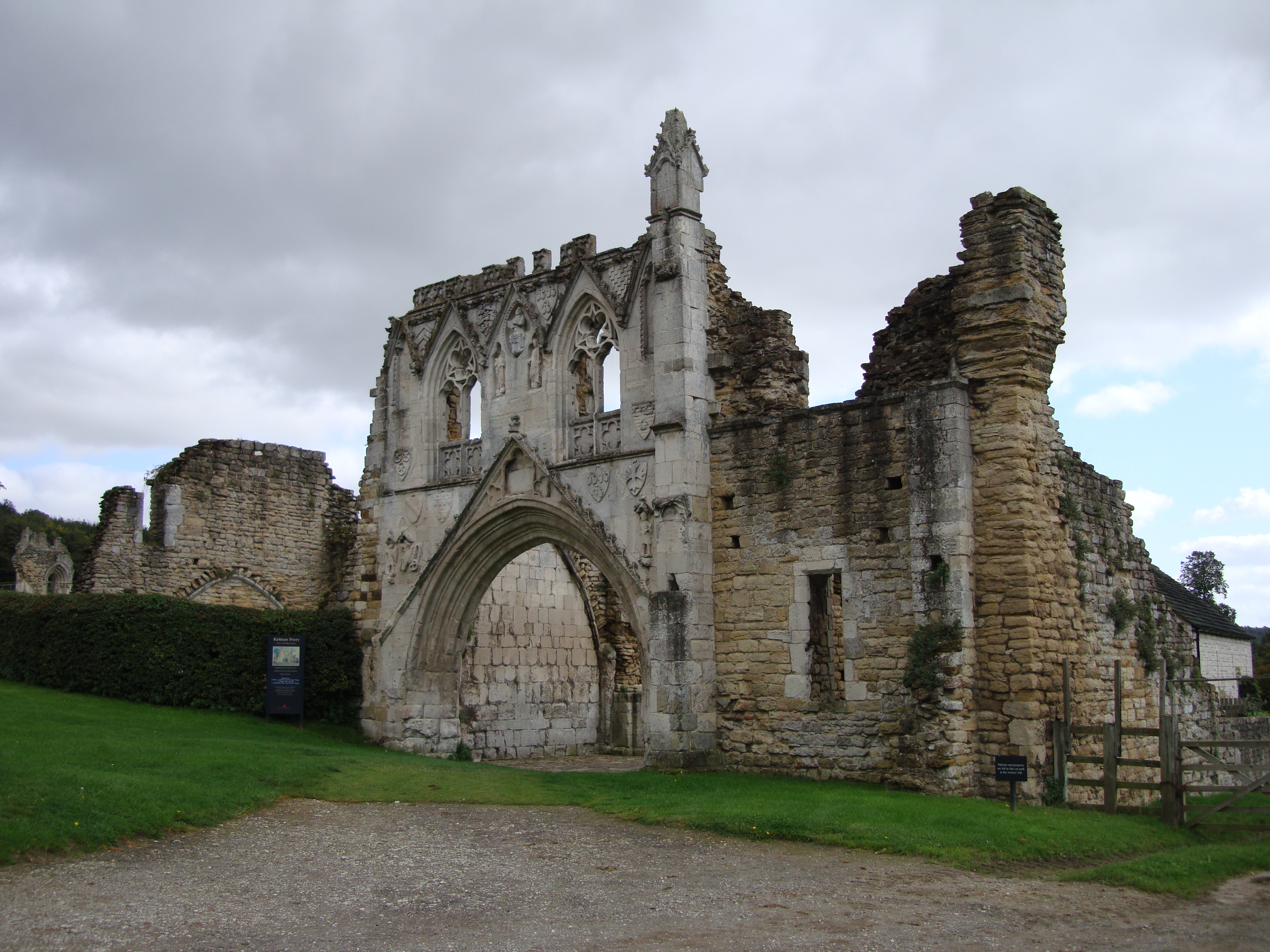
Kirkham Priory
The ruins of Kirkham Priory are situated on the banks of the River Derwent, at Kirkham, North Yorkshire, England. The Augustinian priory was founded in...
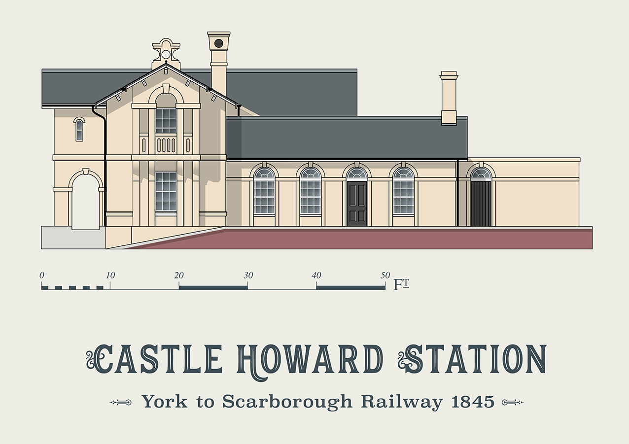
Castle Howard railway station
Castle Howard railway station was a minor railway station serving the village of Welburn and the stately home at Castle Howard in North Yorkshire, England...

Huttons Ambo
Huttons Ambo is a civil parish in the Ryedale district of North Yorkshire, England. It is about 14 miles (22.5 km) north-east of York and 3 miles (4.8...
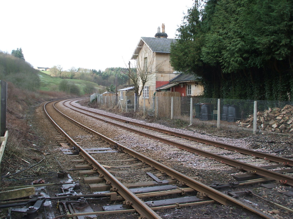
Kirkham Abbey railway station
Kirkham Abbey railway station was a minor railway station serving the village of Kirkham in North Yorkshire, England on the York to Scarborough Line and...

Crambe, North Yorkshire
Crambe is a village and civil parish in the Ryedale district of North Yorkshire, England. It is near the River Derwent and 6 miles (10 km) south-west of...
Nearby Amenities
Located within 500m of 54.082367,-0.84815Have you been to Westow?
Leave your review of Westow below (or comments, questions and feedback).