Bucknell

Settlement in Oxfordshire Cherwell

England

Bucknell

The old A41, Bucknell I've been up and down this road for a lot of my life towards the Midlands and since the M40 was extended it's been downgraded to a B road.
The old A41, Bucknell Credit: David Howard

Bucknell is a small village located in the Cherwell district of Oxfordshire, England. Situated approximately 12 miles north of Oxford, the village lies within the boundaries of the historic county of Oxfordshire. Bucknell is a quintessential English village, characterized by its picturesque countryside setting and charming rural atmosphere.

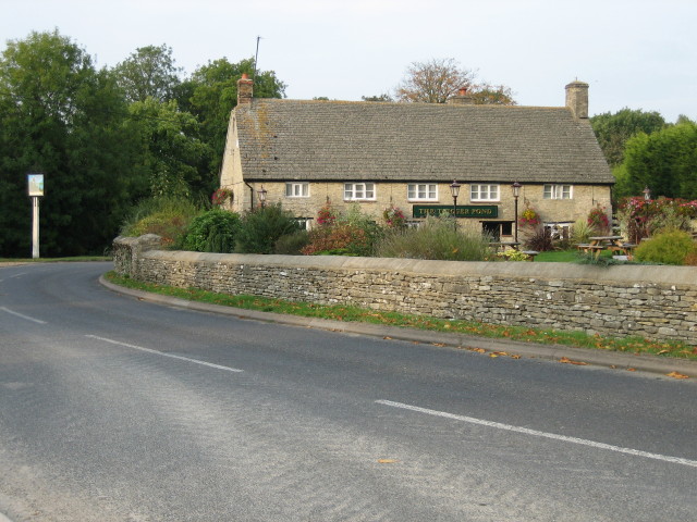
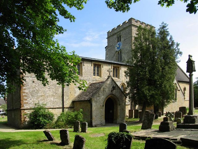
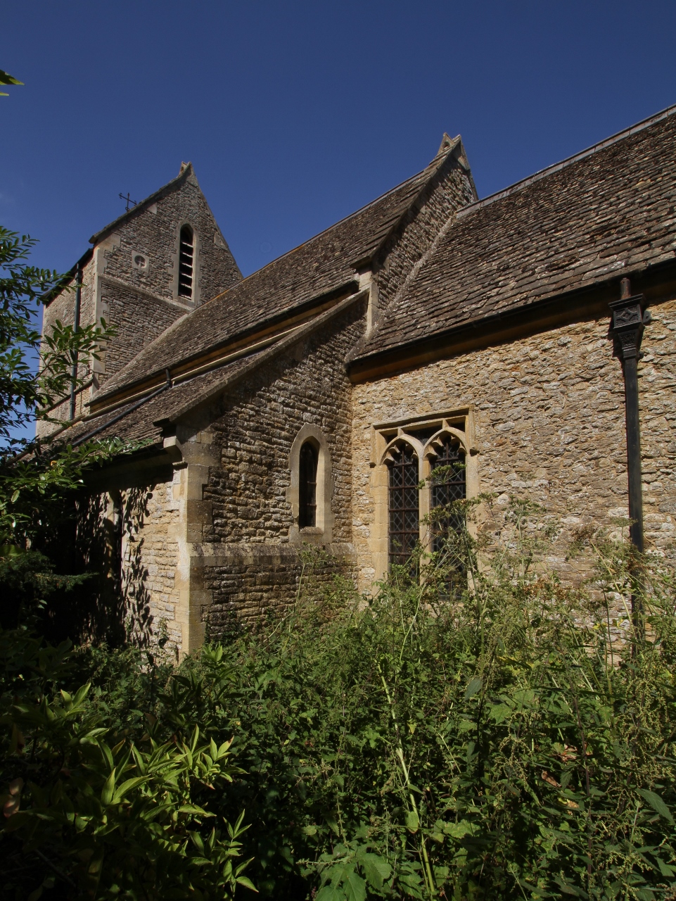
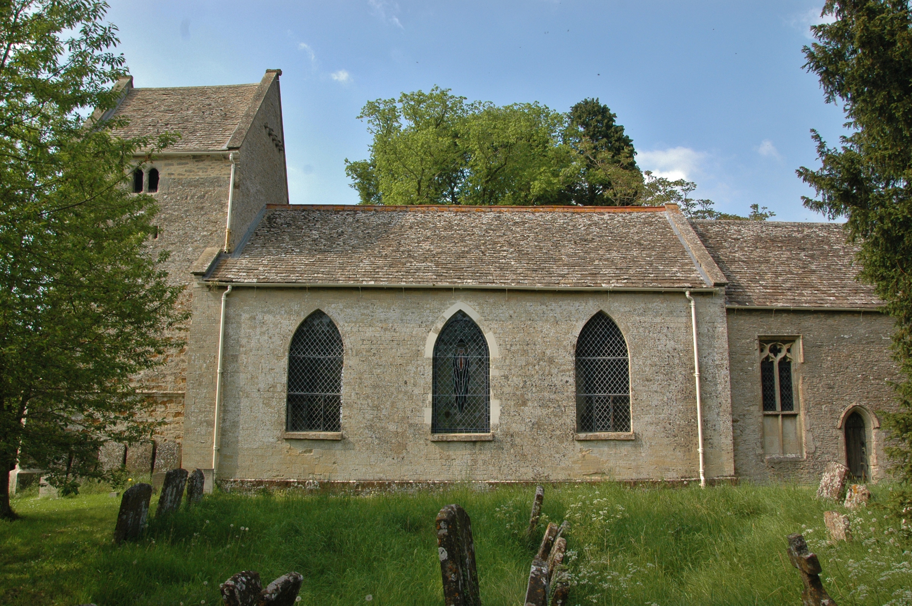
The village is home to around 400 residents and is known for its tight-knit community spirit. The main focal point of Bucknell is the St. Peter's Church, a medieval building that dates back to the 13th century. The church serves as a gathering place for locals and regularly hosts community events and services.

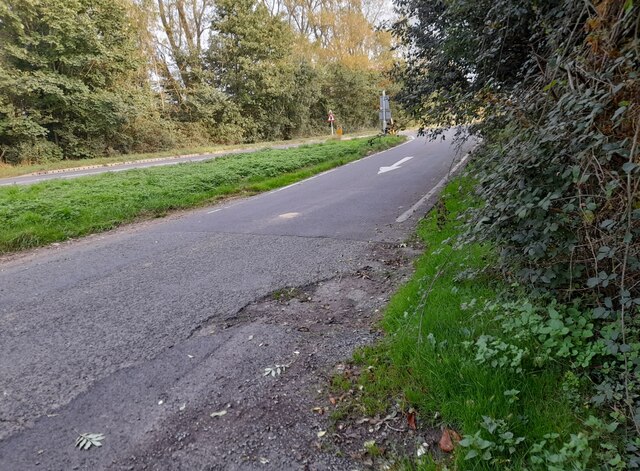
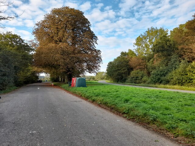
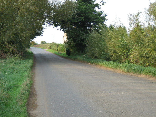
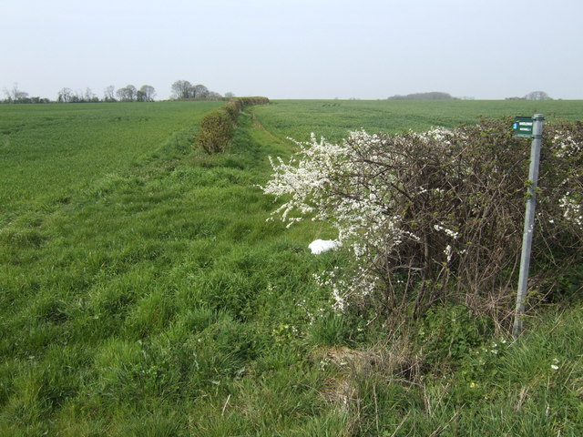
Bucknell is surrounded by beautiful rolling hills and scenic landscapes, making it an ideal location for outdoor enthusiasts. The village is fortunate to have several public footpaths and bridleways, offering opportunities for walking, cycling, and horse riding in the tranquil countryside.

Despite its small size, Bucknell boasts a few amenities for its residents. The village has a traditional pub, The Horse and Jockey, which is a popular spot for locals to socialize and enjoy a pint. Additionally, there is a small village hall that serves as a venue for various community activities and events.

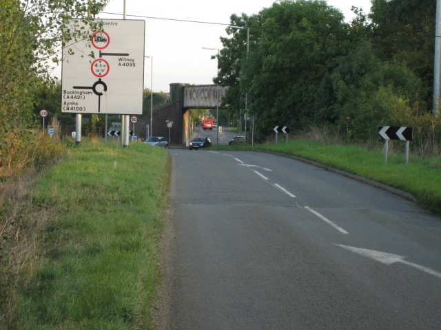
While Bucknell may not have extensive commercial facilities, it benefits from its proximity to larger towns and cities. Residents have access to a wider range of amenities in nearby areas, such as Bicester and Oxford, which are easily accessible by car or public transport.

Overall, Bucknell offers a peaceful and idyllic countryside lifestyle, providing a close-knit community feel and a gateway to the stunning Oxfordshire countryside.

If you have any feedback on the listing, please let us know in the comments section below.

Bucknell Images

Images are sourced within 2km of 51.92483/-1.187584 or Grid Reference SP5525. Thanks to Geograph Open Source API. All images are credited.

The old A41, Bucknell I've been up and down this road for a lot of my life towards the Midlands and since the M40 was extended it's been downgraded to a B road.
The old A41, Bucknell
I've been up and down this road for a lot of my life towards the Midlands and since the M40 was extended it's been downgraded to a B road.
Parking area on Banbury Road, Caversfield
Looking north-east on Lord's Lane, Bicester
Railway bridge over Bucknell Road, Bicester
Road near Hawkwell Farm looking north-west
The Trigger Pond pub, Bucknell
St Peter’s Church, Bucknell Featuring a Norman central tower.
St Peter’s Church, Bucknell
Featuring a Norman central tower.
Lay-by off B4100
Lay-by off B4100
Water tower M40 near Bucknell Always wondered what this tower was. I pass it quite often on my regular trips from Worthing to the midlands
Water tower M40 near Bucknell
Always wondered what this tower was. I pass it quite often on my regular trips from Worthing to the midlands
Trow Pool Water tower
Trow Pool Water Tower at sunset This water tower alongside the M40 has been sensitively restored.
Trow Pool Water Tower at sunset
This water tower alongside the M40 has been sensitively restored.
Bridleway to Ardley This time across open fields and the M40!
Bridleway to Ardley
This time across open fields and the M40!
Edge of Digging Copse Sometime you have to have a feature just for its name!
Edge of Digging Copse
Sometime you have to have a feature just for its name!
Bridleway to Stoke Lyne This is where <a href="https://www.geograph.org.uk/photo/398500">SP5626 : Bridleway to Ardley</a> makes this detour in order to cross the M40. Stoke Wood is in the distance.
Bridleway to Stoke Lyne
This is where SP5626 : Bridleway to Ardley makes this detour in order to cross the M40. Stoke Wood is in the distance.
Bridleway to Bicester The bridleway skirts the edge of this field to the south of Bucknell. The roar of the nearby M40 shatters the peace here.
Bridleway to Bicester
The bridleway skirts the edge of this field to the south of Bucknell. The roar of the nearby M40 shatters the peace here.
M40 Bridge near Bucknell A lorry thunders over the bridge carrying the M40 over the High Wycombe - Banbury railway, and a footpath. For a short distance the otherwise poorly-defined path becomes a tarmacked track. The railway is in a cutting to the left of the fence.
M40 Bridge near Bucknell
A lorry thunders over the bridge carrying the M40 over the High Wycombe - Banbury railway, and a footpath. For a short distance the otherwise poorly-defined path becomes a tarmacked track. The railway is in a cutting to the left of the fence.
Bucknell village hall on Middleton Road
Show me another place!

Bucknell is located at Grid Ref: SP5525 (Lat: 51.92483, Lng: -1.187584)

Administrative County: Oxfordshire

District: Cherwell

Police Authority: Thames Valley

What 3 Words

///torn.variances.rocks. Near Bicester, Oxfordshire

Related Wikis

Bucknell, Oxfordshire

Bucknell is a village and civil parish 2+1⁄2 miles (4 km) northwest of Bicester in Oxfordshire, England. The 2011 Census recorded the parish's population...

Ardley Trackways

Ardley Trackways is a 63.6-hectare (157-acre) geological Site of Special Scientific Interest north-west of Bicester in Oxfordshire. It is a Geological...

Caversfield

Caversfield is a village and civil parish about 1+1⁄2 miles (2.4 km) north of the centre of Bicester. In 1844 Caversfield became part of Oxfordshire, but...

Ardley, Oxfordshire

Ardley is a village and civil parish in Oxfordshire, England, about 4 miles (6.4 km) northwest of Bicester. The parish includes the village of Fewcott...

Bure Park

Bure Park is a 8.4-hectare (21-acre) Local Nature Reserve in Bicester in Oxfordshire. It is owned by Bicester Town Council and managed by Cherwell District...

Ardley railway station

Ardley railway station was a railway station serving the village of Ardley in Oxfordshire, England. It was on what is now known as the Chiltern Main Line...

Bainton, Oxfordshire

Bainton is a hamlet comprising a cluster of farms in the civil parish of Stoke Lyne, about 3 miles (5 km) north of the centre of Bicester. == History... ==

Ardley Castle

Ardley Castle was a castle to the southwest of the village of Ardley, Oxfordshire, England. At present only some of its ruins, most notably an oval enclosure...

Nearby Amenities

Located within 500m of 51.92483,-1.187584
Bucknell
Place: village
Wikidata: Q2600307
Wikipedia: en:Bucknell, Oxfordshire
Lat/Long: 51.9259934/-1.1873725
Post Box
Fixme: Survey for ref
Post Box Type: lamp
Royal Cypher: EIIR
Royal Cypher Wikidata: Q33102113
Lat/Long: 51.926197/-1.1871108
Recycling
Lat/Long: 51.9243056/-1.1875496
Barrier: kissing_gate
Lat/Long: 51.92417/-1.1812263
Barrier: kissing_gate
Lat/Long: 51.9268347/-1.1839793
Barrier: stile
Lat/Long: 51.923571/-1.1881406
Barrier: kissing_gate
Lat/Long: 51.9237067/-1.1927625
Barrier: stile
Lat/Long: 51.9235743/-1.193511
Bus Shelter
Naptan AtcoCode: 340000147PO
Naptan Bearing: S
Naptan BusStopType: CUS
Naptan CommonName: Bus Shelter
Naptan Landmark: Bus Shelter
Naptan NaptanCode: oxfamjpm
Naptan Street: Bicester Road
Naptan Verified: no
Source: naptan_import
Lat/Long: 51.9255572/-1.1874515
Bus Stop
Bus Shelter
Bus: yes
Naptan AtcoCode: 340000147SCH
Naptan Bearing: N
Naptan CommonName: Bus Shelter
Naptan Indicator: Opp
Naptan Landmark: Old School House
Naptan NaptanCode: oxfampja
Naptan Street: Bicester Road
Naptan Verified: no
Public Transport: platform
Shelter: yes
Source: naptan_import
Lat/Long: 51.925648/-1.1875808
Traffic Calming: choker
Lat/Long: 51.9228563/-1.186403
Traffic Calming: choker
Lat/Long: 51.9271541/-1.1881748
Power: pole
Source: Bing
Lat/Long: 51.9270147/-1.1830299
Power: pole
Source: Bing
Lat/Long: 51.9281223/-1.1834555
Power: pole
Source: Bing
Lat/Long: 51.9268349/-1.1813362
Power: pole
Source: Bing
Lat/Long: 51.9269274/-1.181988
Power: pole
Source: Bing
Lat/Long: 51.9286877/-1.1846036
Power: pole
Source: Bing
Lat/Long: 51.9274306/-1.1831899
Natural: water
Lat/Long: 51.926625/-1.1840839
Natural: water
Lat/Long: 51.926713/-1.1841268
Natural: water
Lat/Long: 51.9266516/-1.1840945
Natural: water
Lat/Long: 51.9267193/-1.1840721
Natural: water
Lat/Long: 51.9267333/-1.1841452
Natural: water
Lat/Long: 51.9266731/-1.1841018
Natural: water
Lat/Long: 51.926694/-1.1840995
Natural: water
Lat/Long: 51.9265993/-1.1840734
Natural: water
Lat/Long: 51.9266972/-1.1841103
Bench
Lat/Long: 51.9257196/-1.187582
Information: guidepost
Tourism: information
Lat/Long: 51.9259258/-1.1875945
The data included in this document is from www.openstreetmap.org. The data is made available under ODbL.

Have you been to Bucknell?

Leave your review of Bucknell below (or comments, questions and feedback).