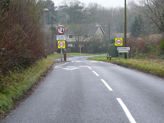
Bucknell
Civil Parish in Oxfordshire Cherwell
England
Bucknell

Bucknell is a small civil parish located in Oxfordshire, England. Situated in the Cherwell Valley, it lies approximately 12 miles northwest of Oxford and 5 miles southeast of Banbury. The parish covers an area of about 450 hectares and is home to a population of around 450 residents.
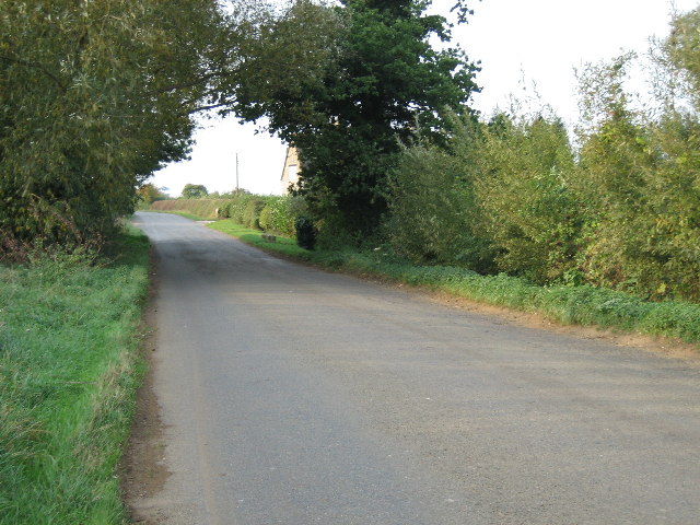
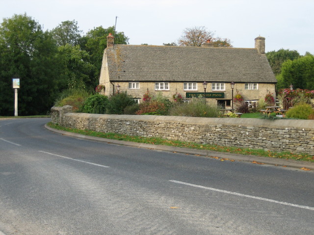
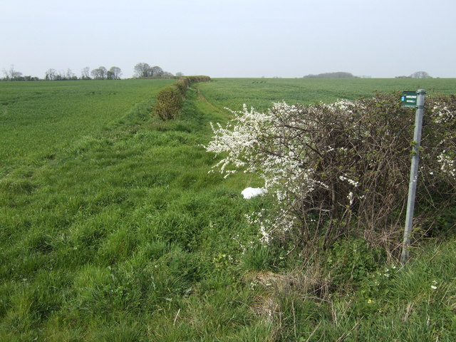
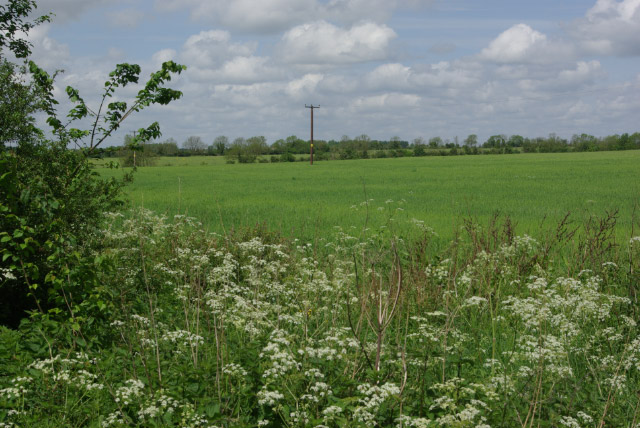
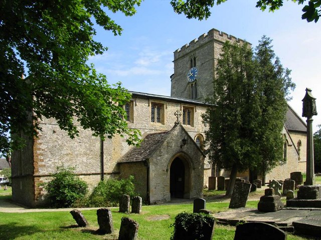
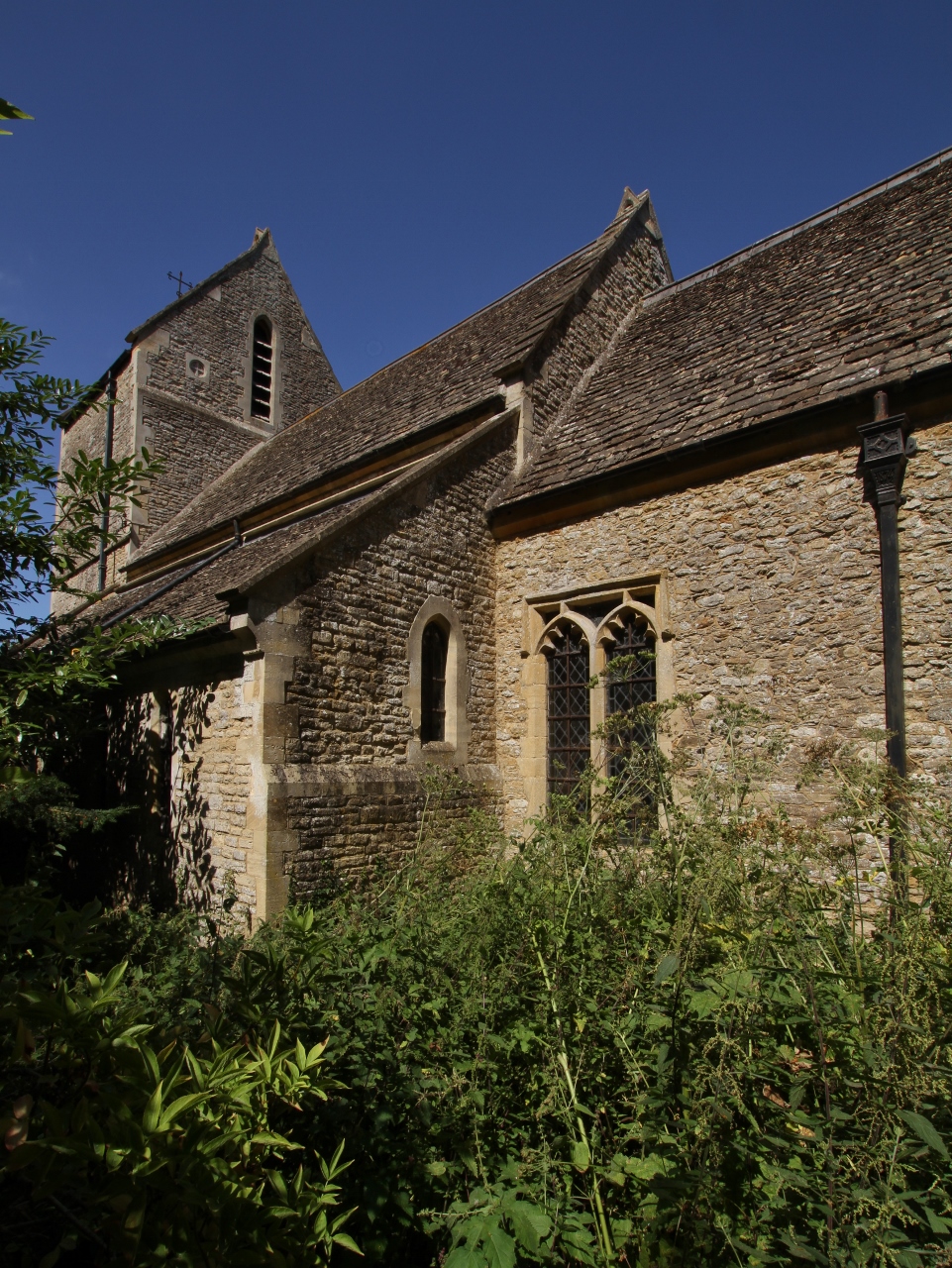
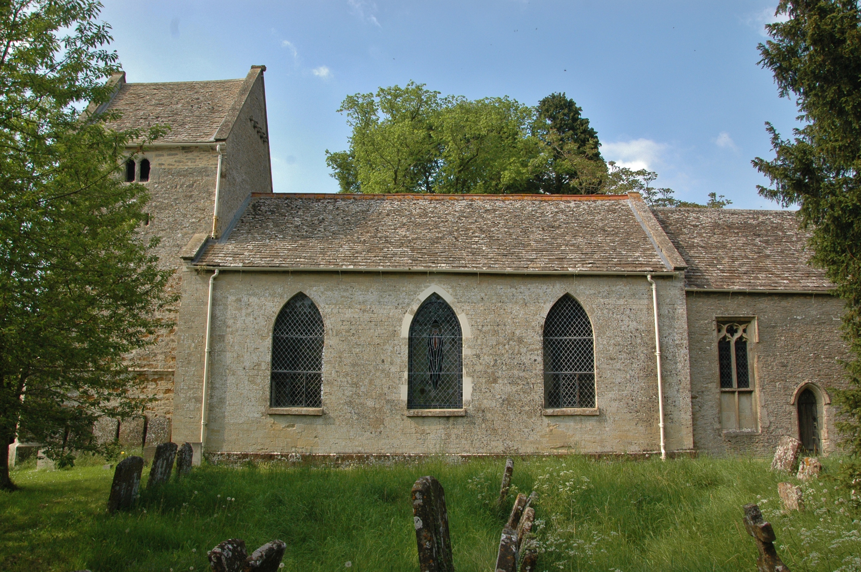
The village itself is nestled in a picturesque countryside setting, surrounded by rolling hills and lush green fields. It retains much of its traditional charm, with many of its buildings displaying classic Cotswold stone architecture. The centerpiece of the village is the All Saints Church, a Grade II listed building that dates back to the 12th century.
Bucknell is well-connected to surrounding areas by road, with the A422 passing nearby. The village also benefits from a regular bus service, providing easy access to neighboring towns and villages. Despite its small size, Bucknell boasts a lively community spirit, with several social and recreational amenities available to residents.
The village is within close proximity to a number of notable landmarks and attractions. Nearby attractions include the historic city of Oxford, renowned for its prestigious university and stunning architecture, and the picturesque Cotswolds, famous for its scenic beauty and charming villages.
Overall, Bucknell offers a peaceful and idyllic rural lifestyle, making it an attractive place to live for those seeking a tranquil setting with easy access to nearby amenities and attractions.
If you have any feedback on the listing, please let us know in the comments section below.
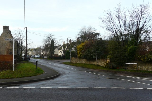
Bucknell Images
Images are sourced within 2km of 51.921917/-1.19277 or Grid Reference SP5525. Thanks to Geograph Open Source API. All images are credited.


Bucknell is located at Grid Ref: SP5525 (Lat: 51.921917, Lng: -1.19277)
Administrative County: Oxfordshire
District: Cherwell
Police Authority: Thames Valley
What 3 Words
///secret.clef.enter. Near Bicester, Oxfordshire
Nearby Locations
Related Wikis
Bucknell, Oxfordshire
Bucknell is a village and civil parish 2+1⁄2 miles (4 km) northwest of Bicester in Oxfordshire, England. The 2011 Census recorded the parish's population...
Ardley Trackways
Ardley Trackways is a 63.6-hectare (157-acre) geological Site of Special Scientific Interest north-west of Bicester in Oxfordshire. It is a Geological...
Caversfield
Caversfield is a village and civil parish about 1+1⁄2 miles (2.4 km) north of the centre of Bicester. In 1844 Caversfield became part of Oxfordshire, but...
Ardley, Oxfordshire
Ardley is a village and civil parish in Oxfordshire, England, about 4 miles (6.4 km) northwest of Bicester. The parish includes the village of Fewcott...
Ardley railway station
Ardley railway station was a railway station serving the village of Ardley in Oxfordshire, England. It was on what is now known as the Chiltern Main Line...

Bure Park
Bure Park is a 8.4-hectare (21-acre) Local Nature Reserve in Bicester in Oxfordshire. It is owned by Bicester Town Council and managed by Cherwell District...

Middleton Stoney
Middleton Stoney is a village and civil parish about 2+1⁄2 miles (4 km) west of Bicester, Oxfordshire. The 2011 Census recorded the parish's population...

Ardley Castle
Ardley Castle was a castle to the southwest of the village of Ardley, Oxfordshire, England. At present only some of its ruins, most notably an oval enclosure...
Nearby Amenities
Located within 500m of 51.921917,-1.19277Have you been to Bucknell?
Leave your review of Bucknell below (or comments, questions and feedback).