West Leake
Civil Parish in Nottinghamshire Rushcliffe
England
West Leake
West Leake is a small civil parish located in the Rushcliffe district of Nottinghamshire, England. It is situated approximately 10 miles southwest of Nottingham city center. The parish covers an area of around 1.5 square miles and is bordered by the villages of East Leake, Stanford on Soar, and Kegworth.
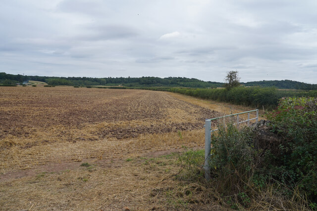
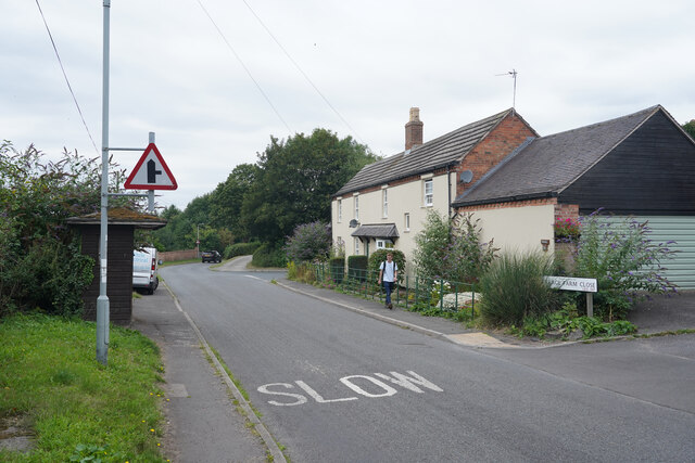
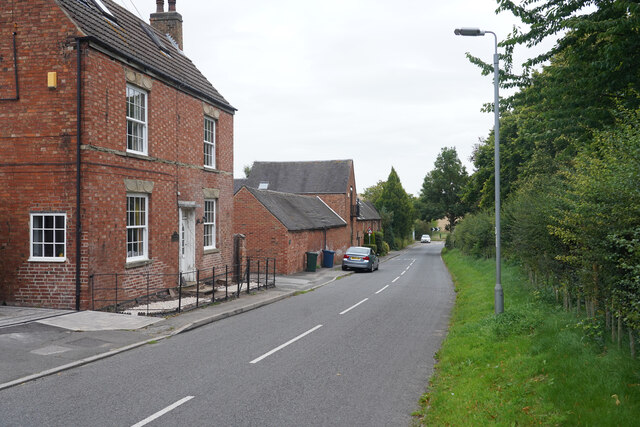
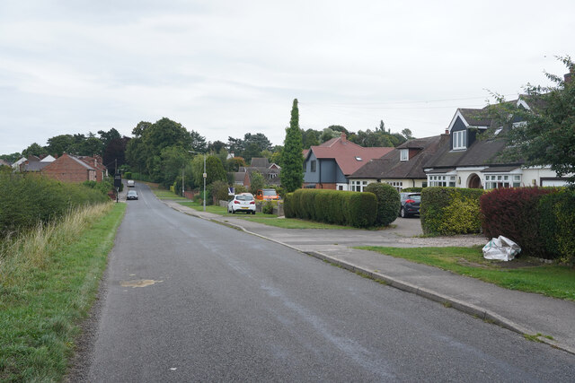
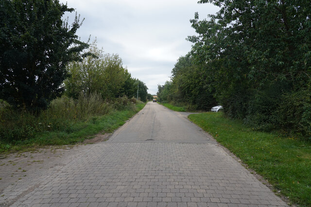
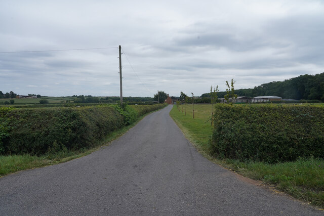
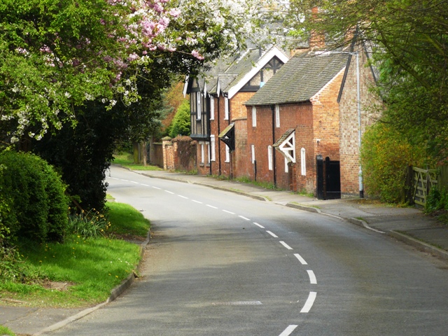
The settlement of West Leake is predominantly rural, with a population of around 200 residents. The area is characterized by its picturesque countryside, rolling hills, and agricultural land. The landscape is dotted with a mix of traditional cottages and modern houses, creating a charming blend of old and new.
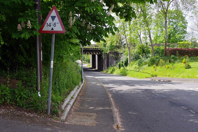
West Leake is well-connected to neighboring towns and cities via road networks, including the A6 and A453, providing easy access to Nottingham, Loughborough, and Leicester. The parish is also served by regular bus services, offering convenient transportation options for residents.
Although West Leake is primarily a residential area, it has a strong sense of community spirit. The parish has a local primary school, which is highly regarded for its academic achievements and extracurricular activities. Additionally, the nearby villages provide further amenities, such as shops, pubs, and recreational facilities.
The surrounding countryside offers ample opportunities for outdoor pursuits, with numerous walking and cycling routes available. The nearby River Soar and Stanford Reservoir also provide opportunities for fishing and water sports.
Overall, West Leake offers a tranquil and picturesque setting for residents, with its rural charm, convenient transport links, and access to nearby amenities making it an attractive place to live.
If you have any feedback on the listing, please let us know in the comments section below.
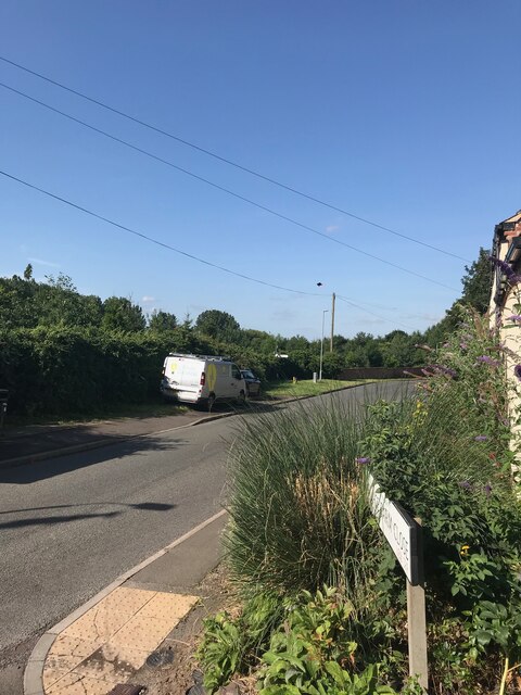
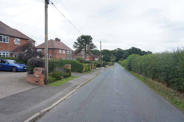
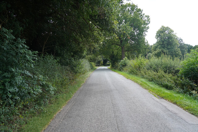
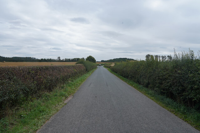
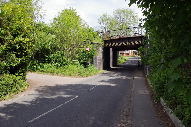
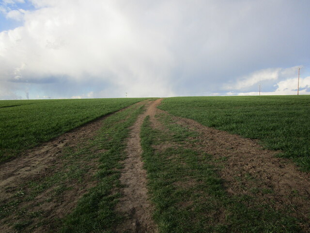
West Leake Images
Images are sourced within 2km of 52.840205/-1.213705 or Grid Reference SK5327. Thanks to Geograph Open Source API. All images are credited.


West Leake is located at Grid Ref: SK5327 (Lat: 52.840205, Lng: -1.213705)
Administrative County: Nottinghamshire
District: Rushcliffe
Police Authority: Nottinghamshire
What 3 Words
///note.bracing.quilting. Near East Leake, Nottinghamshire
Nearby Locations
Related Wikis
West Leake
West Leake () is a small conservation village and civil parish in the Rushcliffe district of Nottinghamshire. == Description == === Setting === The parish...
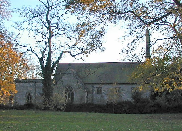
St Helena's Church, West Leake
St Helena's Church, West Leake is a parish church in the Church of England in West Leake, Nottinghamshire. The church is Grade II* listed by the Department...

East Leake railway station
East Leake railway station is a former railway station serving East Leake, Nottinghamshire and is the only surviving Great Central Railway station accessed...
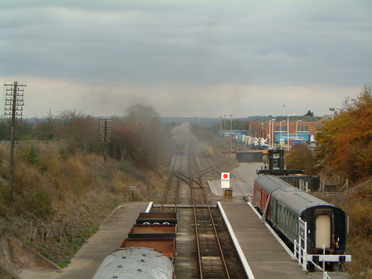
Rushcliffe Halt railway station
Rushcliffe Halt is a railway station on the former Great Central Railway London Extension from London Marylebone serving the north of East Leake, Nottinghamshire...

St Mary's Church, East Leake
St Mary's Church is a parish church in the Church of England in East Leake, Nottinghamshire. The church is Grade I listed by the Department for Digital...

University Farm (Nottinghamshire)
University Farm is a 445 hectare (4.45 km2) commercial research farm attached to the Sutton Bonington Campus of the University of Nottingham, England....

Kingston Hall, Nottinghamshire
Kingston Hall is a country house in Kingston on Soar, Nottinghamshire.It was built between 1842 and 1846 to designs by the architect Edward Blore for Edward...
Sutton Bonington weather station
The Sutton Bonington weather station is a functioning weather station located in Sutton Bonington, Nottinghamshire in England. The weather station is located...
Have you been to West Leake?
Leave your review of West Leake below (or comments, questions and feedback).