Ash Spinney
Wood, Forest in Nottinghamshire Rushcliffe
England
Ash Spinney
Ash Spinney is a small village located in the county of Nottinghamshire, England. Nestled amidst the picturesque woodlands and forests, it is renowned for its natural beauty and tranquil ambiance. The village is situated in close proximity to the larger towns of Mansfield and Nottingham, making it accessible and convenient for both residents and visitors.
The main attraction of Ash Spinney is its stunning woodlands and forest areas. The village is surrounded by lush greenery, providing ample opportunities for outdoor activities such as hiking, walking, and bird-watching. The woodlands are home to a diverse range of flora and fauna, making it a haven for nature enthusiasts.
Despite its rural setting, Ash Spinney boasts a close-knit community that takes pride in its village. The residents are known for their friendliness and welcoming nature. The village has a small but active community center, which serves as a gathering place for various social events and activities.
In terms of amenities, Ash Spinney has a few local shops and services to cater to the needs of its residents. However, for a wider range of amenities, the nearby towns of Mansfield and Nottingham offer a more extensive selection of shops, supermarkets, and entertainment options.
Overall, Ash Spinney in Nottinghamshire is a charming village that offers a peaceful escape from the hustle and bustle of city life. Its natural beauty and sense of community make it an ideal place for those seeking a tranquil and idyllic lifestyle.
If you have any feedback on the listing, please let us know in the comments section below.
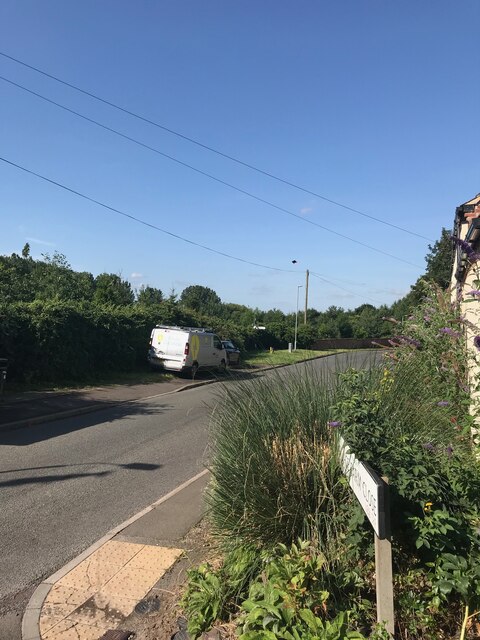
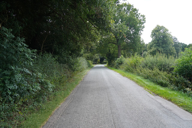
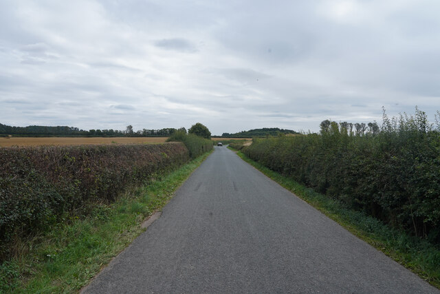
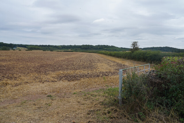
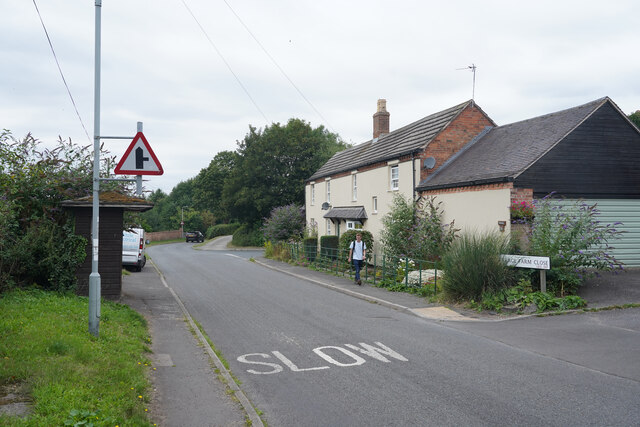
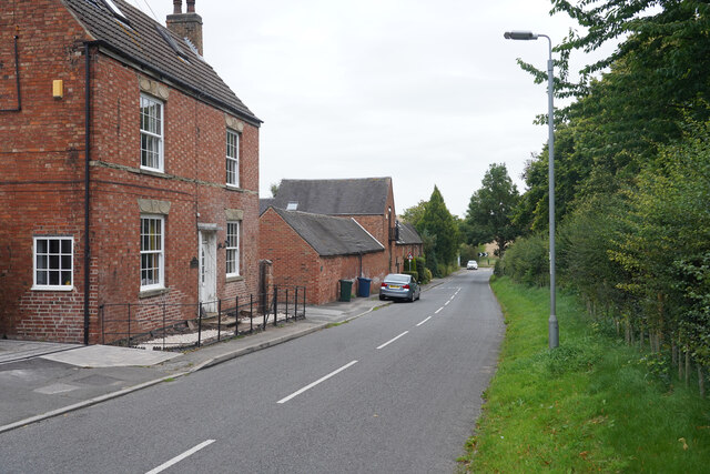
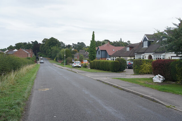
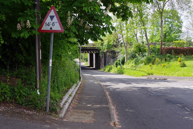
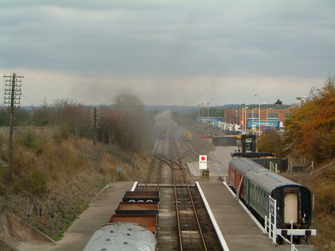
Ash Spinney Images
Images are sourced within 2km of 52.842332/-1.2055374 or Grid Reference SK5327. Thanks to Geograph Open Source API. All images are credited.


Ash Spinney is located at Grid Ref: SK5327 (Lat: 52.842332, Lng: -1.2055374)
Administrative County: Nottinghamshire
District: Rushcliffe
Police Authority: Nottinghamshire
What 3 Words
///conjured.forgiving.skippers. Near East Leake, Nottinghamshire
Nearby Locations
Related Wikis
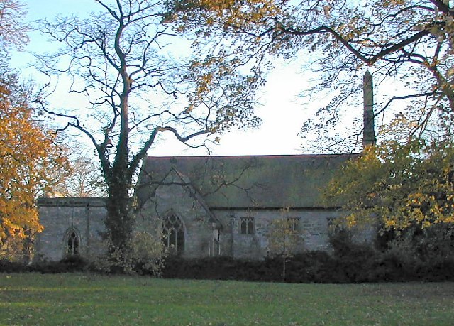
St Helena's Church, West Leake
St Helena's Church, West Leake is a parish church in the Church of England in West Leake, Nottinghamshire. The church is Grade II* listed by the Department...
West Leake
West Leake () is a small conservation village and civil parish in the Rushcliffe district of Nottinghamshire. == Description == === Setting === The parish...
Rushcliffe Halt railway station
Rushcliffe Halt is a railway station on the former Great Central Railway London Extension from London Marylebone serving the north of East Leake, Nottinghamshire...

East Leake railway station
East Leake railway station is a former railway station serving East Leake, Nottinghamshire and is the only surviving Great Central Railway station accessed...

St Mary's Church, East Leake
St Mary's Church is a parish church in the Church of England in East Leake, Nottinghamshire. The church is Grade I listed by the Department for Digital...
East Leake
East Leake () is a large village and civil parish in the Rushcliffe district of Nottinghamshire, England, although its closest town and postal address...
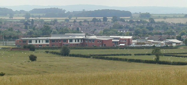
East Leake Academy
East Leake Academy is an academy located in East Leake in the Rushcliffe area of Nottinghamshire, England. The school describes itself as specialising...

St Lawrence's Church, Gotham
St. Lawrence's Church, Gotham is a Grade I listed parish church in the Church of England in Gotham, Nottinghamshire. It is part of an informal grouping...
Have you been to Ash Spinney?
Leave your review of Ash Spinney below (or comments, questions and feedback).