Wellington Heath

Civil Parish in Herefordshire

England

Wellington Heath

Bridge over the River Leadon Bridge over the River Leadon on the B4214, north of Ledbury.
Bridge over the River Leadon Credit: Philip Halling

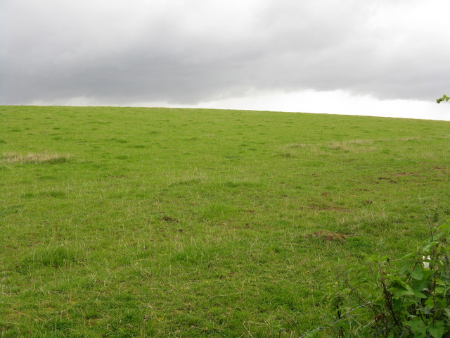
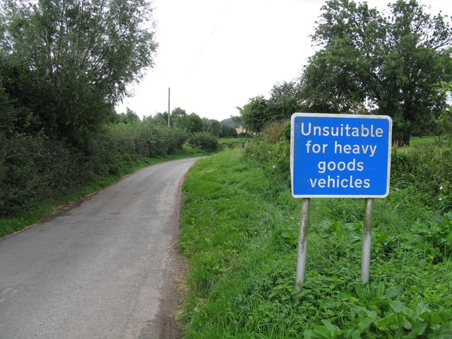
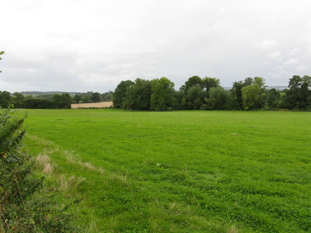
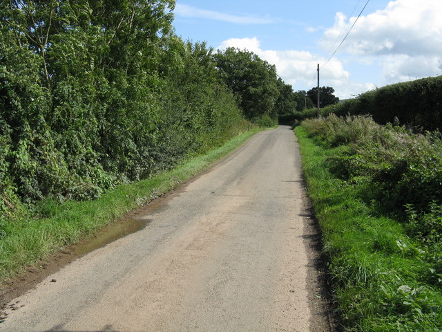
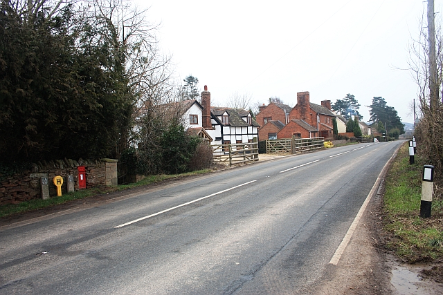
Wellington Heath is a civil parish located in the county of Herefordshire, England. It is situated in the eastern part of the county, about 3 miles east of the market town of Ledbury. The parish covers an area of approximately 4 square miles and is surrounded by beautiful countryside, characterized by rolling hills and fields.

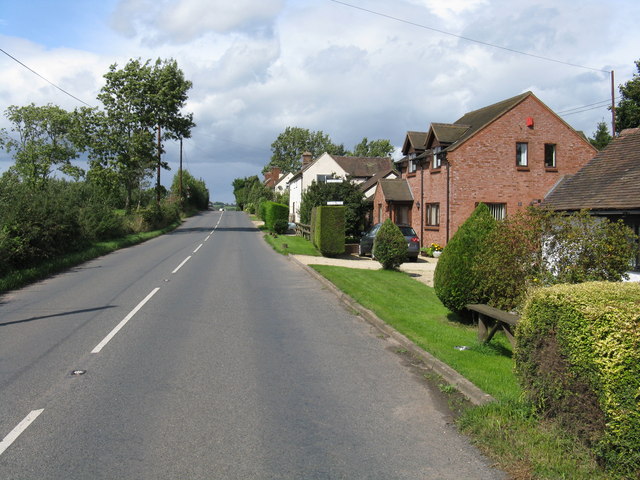
The village of Wellington Heath itself is small and picturesque, with a population of around 400 residents. It is known for its charming traditional cottages and historic buildings, which add to its rural charm. The village has a close-knit community and a friendly atmosphere, making it an attractive place to live.

There are several amenities and services available in Wellington Heath, including a church, a primary school, and a village hall. The church, dedicated to St. Margaret, dates back to the 12th century and is a notable landmark in the area. The primary school provides education for children in the village and the surrounding areas.

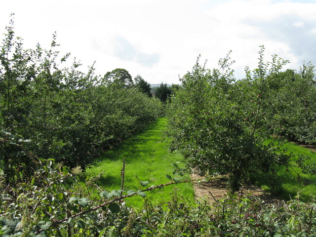
The parish is surrounded by scenic countryside, offering plenty of opportunities for outdoor activities such as walking, cycling, and horse riding. The nearby Malvern Hills Area of Outstanding Natural Beauty is a popular destination for nature enthusiasts and offers stunning views of the surrounding landscape.

Overall, Wellington Heath is a tranquil and picturesque village in Herefordshire, with a strong sense of community and a beautiful natural environment. It is a place where residents can enjoy a peaceful rural lifestyle while still having access to necessary amenities and services.

If you have any feedback on the listing, please let us know in the comments section below.

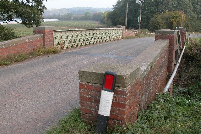
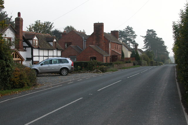
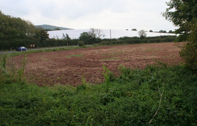
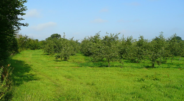
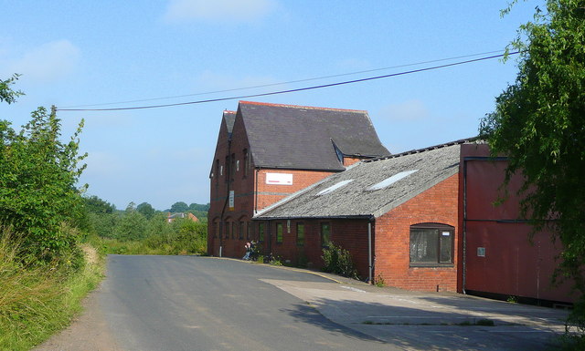
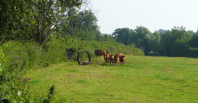
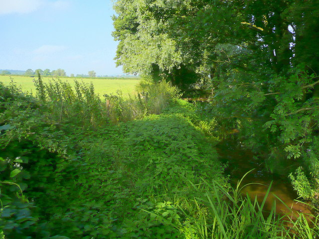
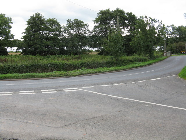
Wellington Heath Images

Images are sourced within 2km of 52.064635/-2.429773 or Grid Reference SO7040. Thanks to Geograph Open Source API. All images are credited.

Bridge over the River Leadon Bridge over the River Leadon on the B4214, north of Ledbury.
Bridge over the River Leadon
Bridge over the River Leadon on the B4214, north of Ledbury.
Staplow Staplow is a small hamlet on the B4214, north of Ledbury
Staplow
Staplow is a small hamlet on the B4214, north of Ledbury
Polytunnels,  North of Ledbury Taken from the <a href="https://www.geograph.org.uk/photo/66558">SO6940 : Bridge over the River Leadon</a>.
Polytunnels, North of Ledbury
Orchards west of Jug's Green Older apples here; probably eating, not cider, judging by the spacing.
Orchards west of Jug's Green
Older apples here; probably eating, not cider, judging by the spacing.
Buildings at Jug's Green Look to have been converted to offices; currently to let.
Buildings at Jug's Green
Look to have been converted to offices; currently to let.
Young cattle at Storesbrook In pasture to the east of the Plaistow Lane.
Young cattle at Storesbrook
In pasture to the east of the Plaistow Lane.
Stores Brook This small brook flows east from Munsley to meet the Leadon and then flow south-east to the Severn near Gloucester.
Stores Brook
This small brook flows east from Munsley to meet the Leadon and then flow south-east to the Severn near Gloucester.
Tight curve on the B4220 The Bromyard-Ledbury road flicks from one side of the River Leadon to the other by means of a narrow bridge and two sharp curves.  Taken from the junction on the western curve, polytunnels are visible in the distance - a subject of some local controversy.
Tight curve on the B4220
The Bromyard-Ledbury road flicks from one side of the River Leadon to the other by means of a narrow bridge and two sharp curves. Taken from the junction on the western curve, polytunnels are visible in the distance - a subject of some local controversy.
Hillside by the B4220
Unsuitable for HGVs A clear message at the entry to the lane to Plaistow Farm off the B4220 dissuades lorries from taking a short cut.
Unsuitable for HGVs
A clear message at the entry to the lane to Plaistow Farm off the B4220 dissuades lorries from taking a short cut.
Leadon Valley near Lower Southfield Trees mark the line of the river.
Leadon Valley near Lower Southfield
Trees mark the line of the river.
Staplow - The Old Forge
Staplow - orchard adjoining the main road
Country lane near Marley Hall
The old canal, Staplow The Hereford & Gloucester canal  taken from what would have been the road bridge.
The old canal, Staplow
The Hereford & Gloucester canal taken from what would have been the road bridge.
The Wharf, Staplow A historic building. Part of the Hereford and Worcester Canal construction.
The Wharf, Staplow
A historic building. Part of the Hereford and Worcester Canal construction.
Approaching the canal bridge, Staplow The light coloured fencing is where the B4214 Bromyard to Ledbury road passes over the route of the Hereford and Gloucester canal.
Approaching the canal bridge, Staplow
The light coloured fencing is where the B4214 Bromyard to Ledbury road passes over the route of the Hereford and Gloucester canal.
Houses in Staplow Not much more than a hamlet with a pub and a letter box now.
When the canal came through and the wharf was built this would have been a hive of activity.
Houses in Staplow
Not much more than a hamlet with a pub and a letter box now. When the canal came through and the wharf was built this would have been a hive of activity.
Show me another place!

Wellington Heath is located at Grid Ref: SO7040 (Lat: 52.064635, Lng: -2.429773)

Unitary Authority: County of Herefordshire

Police Authority: West Mercia

What 3 Words

///arrive.presumes.goods. Near Ledbury, Herefordshire

Nearby Locations

Wellington Heath

Related Wikis

Wellington Heath

Wellington Heath is a small village and civil parish in Herefordshire, England, approximately 1.5 miles (2.4 km) north of Ledbury. The population was recorded...

Hope End

Hope End is an area and former estate of Herefordshire, England, near the Malvern Hills, noted for its literary associations. As described by a 19th-century...

Herefordshire and Gloucestershire Canal

The Herefordshire and Gloucestershire Canal (sometimes known as the Hereford and Gloucester Canal) is a canal in the west of England, which ran from Hereford...

Hereford Road Skew Bridge

Hereford Road Skew Bridge is a disused railway bridge in Ledbury, Herefordshire. Built in 1881 to carry the Ledbury and Gloucester Railway across the Hereford...

Ledbury Signal Box

Ledbury Signal Box is a typical Great Western Railway traditional lever frame signal box which remains in daily use at Ledbury Station, Herefordshire,...

Ledbury railway station

Ledbury railway station is located on the outskirts of the town of Ledbury, on the Worcester to Hereford line in the English Midlands. It has regular services...

Ledbury Tunnel

Ledbury Tunnel is a single-track railway tunnel immediately to the east of Ledbury railway station on the Cotswold Line, in Herefordshire, England. The...

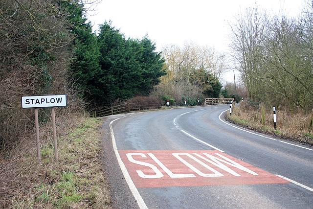
Coddington, Herefordshire

Coddington is a hamlet and civil parish in eastern Herefordshire, England, about 3 miles (4.8 km) north of Ledbury. The west side of the parish covers...

Nearby Amenities

Located within 500m of 52.064635,-2.429773
Uplands
Power: pole
Transformer: distribution
Voltage Primary: 11000
Lat/Long: 52.0613213/-2.4335984
Power: pole
Lat/Long: 52.060989/-2.4331994
Uplands Cottages
Power: pole
Transformer: distribution
Voltage Primary: 11000
Lat/Long: 52.060611/-2.4327642
The Withers
Power: pole
Transformer: distribution
Voltage Primary: 11000
Lat/Long: 52.0628664/-2.4287792
Power: pole
Lat/Long: 52.0620922/-2.4288422
The Brambles
Power: pole
Transformer: distribution
Voltage Primary: 11000
Lat/Long: 52.0615468/-2.4248195
Power: pole
Lat/Long: 52.0615505/-2.4250127
Power: pole
Lat/Long: 52.061574/-2.4260453
Power: pole
Lat/Long: 52.061595/-2.4273811
Burtons Bungalow
Power: pole
Transformer: distribution
Voltage Primary: 11000
Lat/Long: 52.0616185/-2.4288851
Power: pole
Lat/Long: 52.0608356/-2.4289629
Power: pole
Lat/Long: 52.0601933/-2.4294537
The Glen
Power: pole
Transformer: distribution
Voltage Primary: 11000
Lat/Long: 52.0655493/-2.4244903
Power: pole
Lat/Long: 52.0662365/-2.4253238
Power: pole
Lat/Long: 52.0668919/-2.4261278
Power: pole
Lat/Long: 52.0675284/-2.4269036
Upper House West Heath
Power: pole
Transformer: distribution
Voltage Primary: 11000
Lat/Long: 52.0677773/-2.4272127
Power: pole
Lat/Long: 52.0685556/-2.4281522
The data included in this document is from www.openstreetmap.org. The data is made available under ODbL.

Have you been to Wellington Heath?

Leave your review of Wellington Heath below (or comments, questions and feedback).