Warrington
Civil Parish in Buckinghamshire
England
Warrington

Warrington is a civil parish located in the county of Buckinghamshire, England. It is situated approximately 4 miles east of the town of Aylesbury. The parish covers an area of around 1.5 square miles and is home to a population of approximately 500 residents.
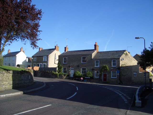
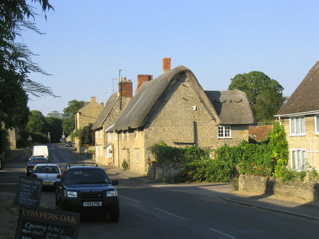
The village of Warrington is known for its picturesque countryside setting, with rolling hills, farmland, and charming rural landscapes. The area is primarily residential, with a mix of traditional cottages and more modern houses. Many of the buildings in Warrington date back several centuries, adding to the village's historic charm.
Warrington is served by St. Mary's Church, a beautiful medieval church that has been a focal point of the community for centuries. The church features stunning stained glass windows and an impressive tower.
The village benefits from a close-knit community, with various community events and activities taking place throughout the year. There is a local primary school, providing education for the younger residents of Warrington.
For amenities, residents of Warrington can access shops and services in nearby towns such as Aylesbury and other neighboring villages. The village is well-connected by road, with easy access to the A418, which leads to major cities and towns in the region.
Overall, Warrington offers a peaceful and idyllic living environment, with its rural beauty, historic charm, and strong sense of community.
If you have any feedback on the listing, please let us know in the comments section below.
Warrington Images
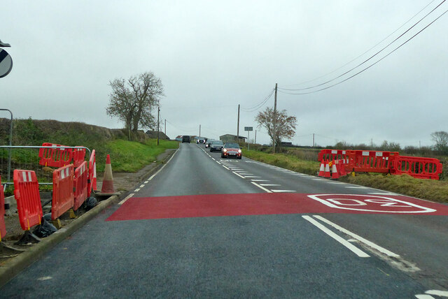
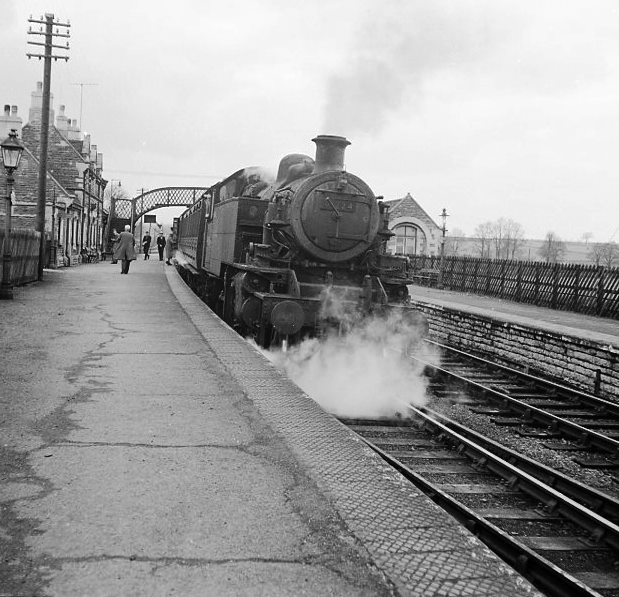
Images are sourced within 2km of 52.18293/-0.692601 or Grid Reference SP8954. Thanks to Geograph Open Source API. All images are credited.
Warrington is located at Grid Ref: SP8954 (Lat: 52.18293, Lng: -0.692601)
Unitary Authority: Milton Keynes
Police Authority: Thames Valley
What 3 Words
///insert.toenail.trinkets. Near Warrington, Buckinghamshire
Nearby Locations
Related Wikis
Warrington, Buckinghamshire
Warrington is a hamlet and civil parish in the unitary authority area of the City of Milton Keynes, Buckinghamshire, England, near Olney and on either...
Lavendon Abbey
Lavendon Abbey was a Premonstratensian abbey near Lavendon in Buckinghamshire, England.The abbey was established by John de Bidun between 1154 and 1158...
Lavendon Castle
Lavendon Castle stood to the north of the village of Lavendon, Buckinghamshire, England. A motte or ringwork and bailey were mentioned in a pipe roll of...
Lavendon
Lavendon is a village and civil parish in the unitary authority area of the City of Milton Keynes, Buckinghamshire, England. It is the northernmost village...
A509 road
The A509 is a short A-class road (around 30 miles (48 km) long) for north–south journeys in south central England, forming the route from Kettering in...
Olney railway station (England)
Olney was a railway station on the former Bedford to Northampton Line and Stratford-upon-Avon and Midland Junction Railway which served the town of Olney...
Olney Town F.C.
Olney Town Football Club was a football club based in Olney, Buckinghamshire, England. == History == They were established in 1903 and were founder members...
Weston Underwood, Buckinghamshire
Weston Underwood is a village and civil parish in the unitary authority area of the City of Milton Keynes, Buckinghamshire, England. It is located about...
Nearby Amenities
Located within 500m of 52.18293,-0.692601Have you been to Warrington?
Leave your review of Warrington below (or comments, questions and feedback).


