Warrington
Settlement in Buckinghamshire
England
Warrington

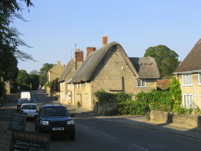
Warrington is a small village located in the county of Buckinghamshire, England. Situated approximately 8 miles northwest of Aylesbury, Warrington is surrounded by picturesque countryside and offers a tranquil and rural atmosphere.
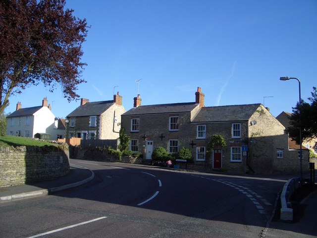
The village is known for its charming character and historic architecture. Many of its buildings date back several centuries, with some notable examples including the St. Michael and All Angels Church, which dates back to the 12th century, and the Old Manor House, a Grade II listed building from the 17th century.
Despite its small size, Warrington boasts a strong sense of community. The village is home to a number of local amenities, including a primary school, a village hall, and a traditional pub. The local community actively participates in various events and activities throughout the year, fostering a close-knit and friendly environment.
For nature enthusiasts, Warrington offers plenty of opportunities for outdoor exploration. The surrounding countryside is dotted with footpaths and bridleways, allowing residents and visitors to enjoy scenic walks and leisurely bike rides. The nearby River Thame also provides a tranquil setting for fishing and boating activities.
Transport links in Warrington are relatively limited. The village is accessible by road, with the A418 passing nearby, providing connections to surrounding towns and villages. The nearest train station is in Aylesbury, offering regular services to London and other major cities.
In summary, Warrington is a charming and historic village nestled in the beautiful Buckinghamshire countryside. With its strong sense of community and ample opportunities for outdoor activities, it offers a peaceful and idyllic place to live or visit.
If you have any feedback on the listing, please let us know in the comments section below.
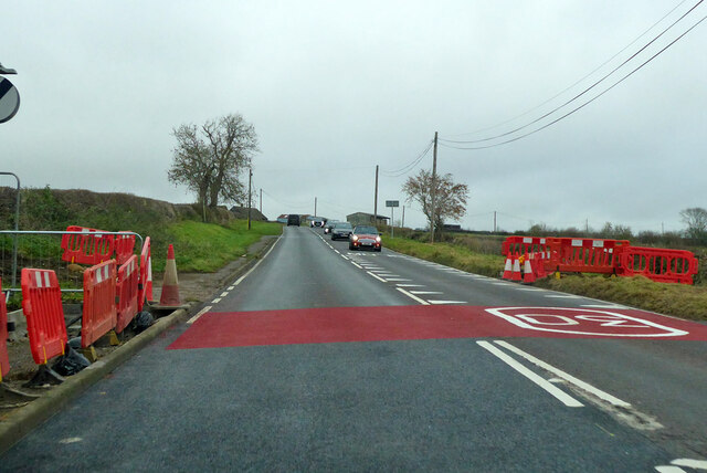
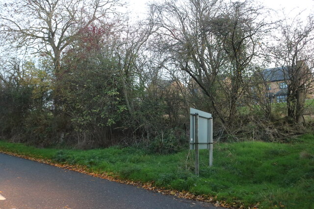
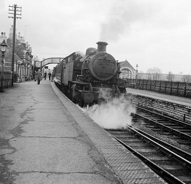
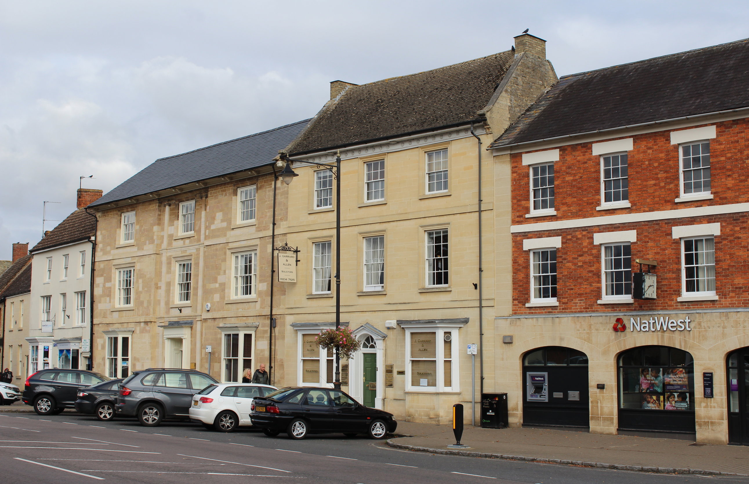
Warrington Images
Images are sourced within 2km of 52.177104/-0.68920292 or Grid Reference SP8954. Thanks to Geograph Open Source API. All images are credited.


Warrington is located at Grid Ref: SP8954 (Lat: 52.177104, Lng: -0.68920292)
Unitary Authority: Milton Keynes
Police Authority: Thames Valley
What 3 Words
///fashion.plunger.offerings. Near Warrington, Buckinghamshire
Nearby Locations
Related Wikis

Warrington, Buckinghamshire
Warrington is a hamlet and civil parish in the unitary authority area of the City of Milton Keynes, Buckinghamshire, England, near Olney and on either...
Lavendon Abbey
Lavendon Abbey was a Premonstratensian abbey near Lavendon in Buckinghamshire, England.The abbey was established by John de Bidun between 1154 and 1158...
Lavendon
Lavendon is a village and civil parish in the unitary authority area of the City of Milton Keynes, Buckinghamshire, England. It is the northernmost village...
Olney railway station (England)
Olney was a railway station on the former Bedford to Northampton Line and Stratford-upon-Avon and Midland Junction Railway which served the town of Olney...

Lavendon Castle
Lavendon Castle stood to the north of the village of Lavendon, Buckinghamshire, England. A motte or ringwork and bailey were mentioned in a pipe roll of...
Olney Town F.C.
Olney Town Football Club was a football club based in Olney, Buckinghamshire, England. == History == They were established in 1903 and were founder members...
Weston Underwood, Buckinghamshire
Weston Underwood is a village and civil parish in the unitary authority area of the City of Milton Keynes, Buckinghamshire, England. It is located about...
Olney, Buckinghamshire
Olney (, rarely OW-nee, rarely OLL-nee) is a market town and civil parish in the unitary authority area of the City of Milton Keynes, Buckinghamshire...
Nearby Amenities
Located within 500m of 52.177104,-0.68920292Have you been to Warrington?
Leave your review of Warrington below (or comments, questions and feedback).