Buckland End
Settlement in Warwickshire
England
Buckland End
Buckland End is a small rural village located in Warwickshire, England. Situated near the border of Worcestershire, Buckland End is known for its picturesque countryside and charming cottages. The village is surrounded by rolling hills and lush green fields, making it a popular destination for outdoor enthusiasts and nature lovers.
Buckland End has a close-knit community, with a population of around 300 residents. The village is home to a historic church, St. Mary's Church, which dates back to the 12th century and is a popular attraction for visitors interested in medieval architecture.
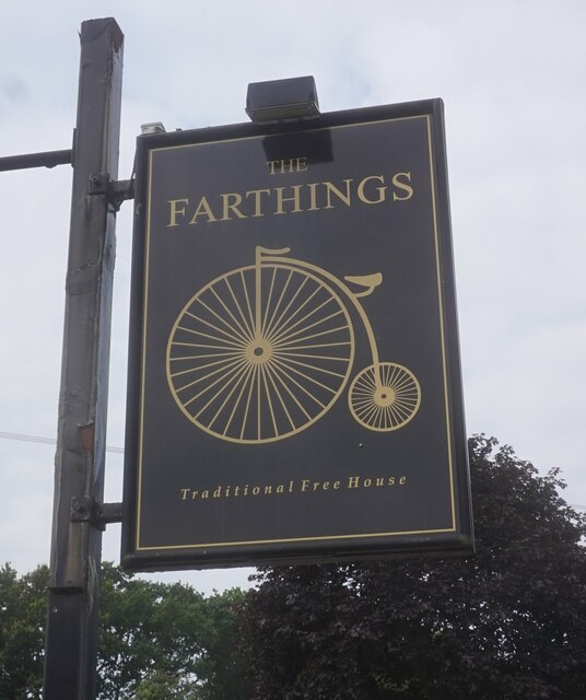
In terms of amenities, Buckland End has a small local pub, The Red Lion, which serves traditional English fare and is a hub for social gatherings within the village. Additionally, there are a few small shops and businesses in the area, providing residents with essential services.
Overall, Buckland End offers a peaceful and idyllic setting for those looking to escape the hustle and bustle of city life and enjoy the beauty of the English countryside.
If you have any feedback on the listing, please let us know in the comments section below.
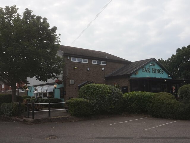
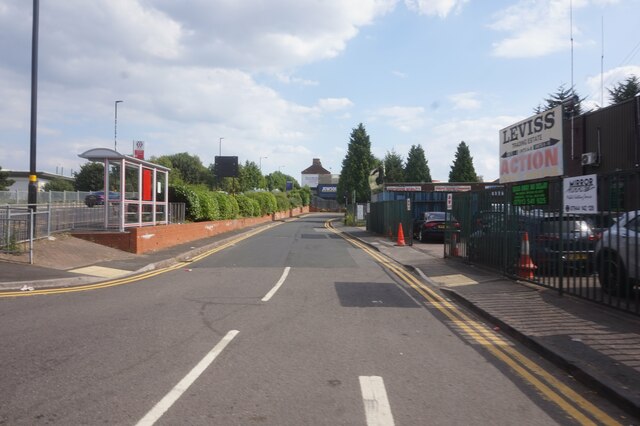
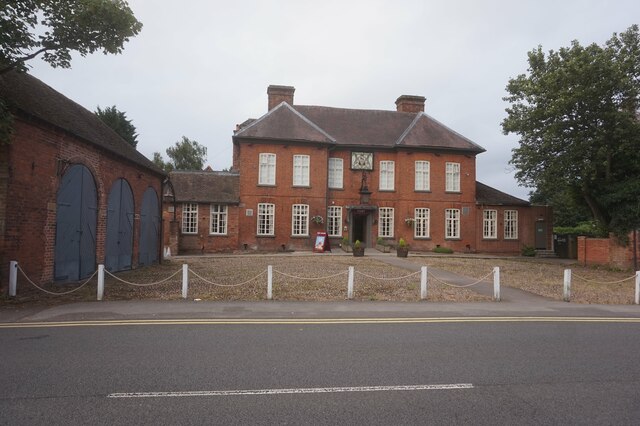
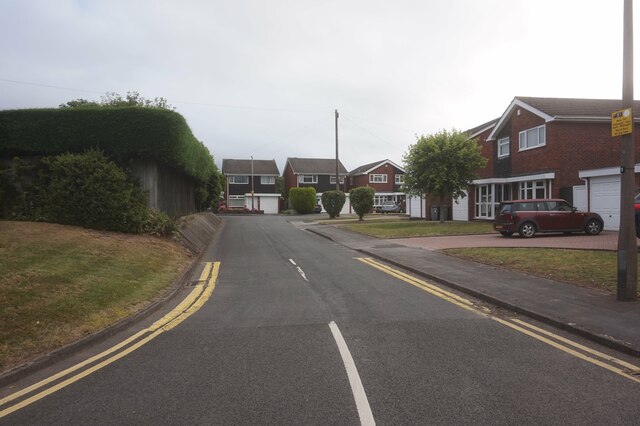
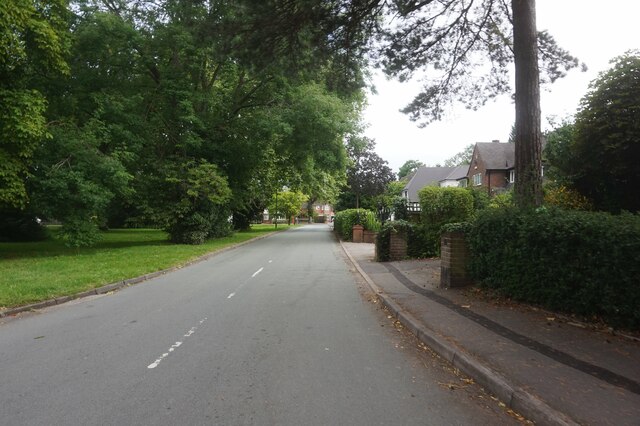
Buckland End Images
Images are sourced within 2km of 52.499954/-1.793733 or Grid Reference SP1489. Thanks to Geograph Open Source API. All images are credited.


Buckland End is located at Grid Ref: SP1489 (Lat: 52.499954, Lng: -1.793733)
Unitary Authority: Birmingham
Police Authority: West Midlands
What 3 Words
///aims.usual.goods. Near Castle Vale, West Midlands
Nearby Locations
Related Wikis

Buckland End
Buckland End is an area of Birmingham, England. == References == == External links == 1888 Ordnance Survey map of Buckland End
Bromwich Castle
Bromwich Castle was a motte castle in the large village now called Castle Bromwich in the West Midlands. Bromwich Castle is a scheduled monument.The site...

Castle Bromwich Hall Gardens
Castle Bromwich Hall Gardens are situated adjacent to the west side of Castle Bromwich Hall, a Jacobean Mansion. They are in the old centre of Castle...
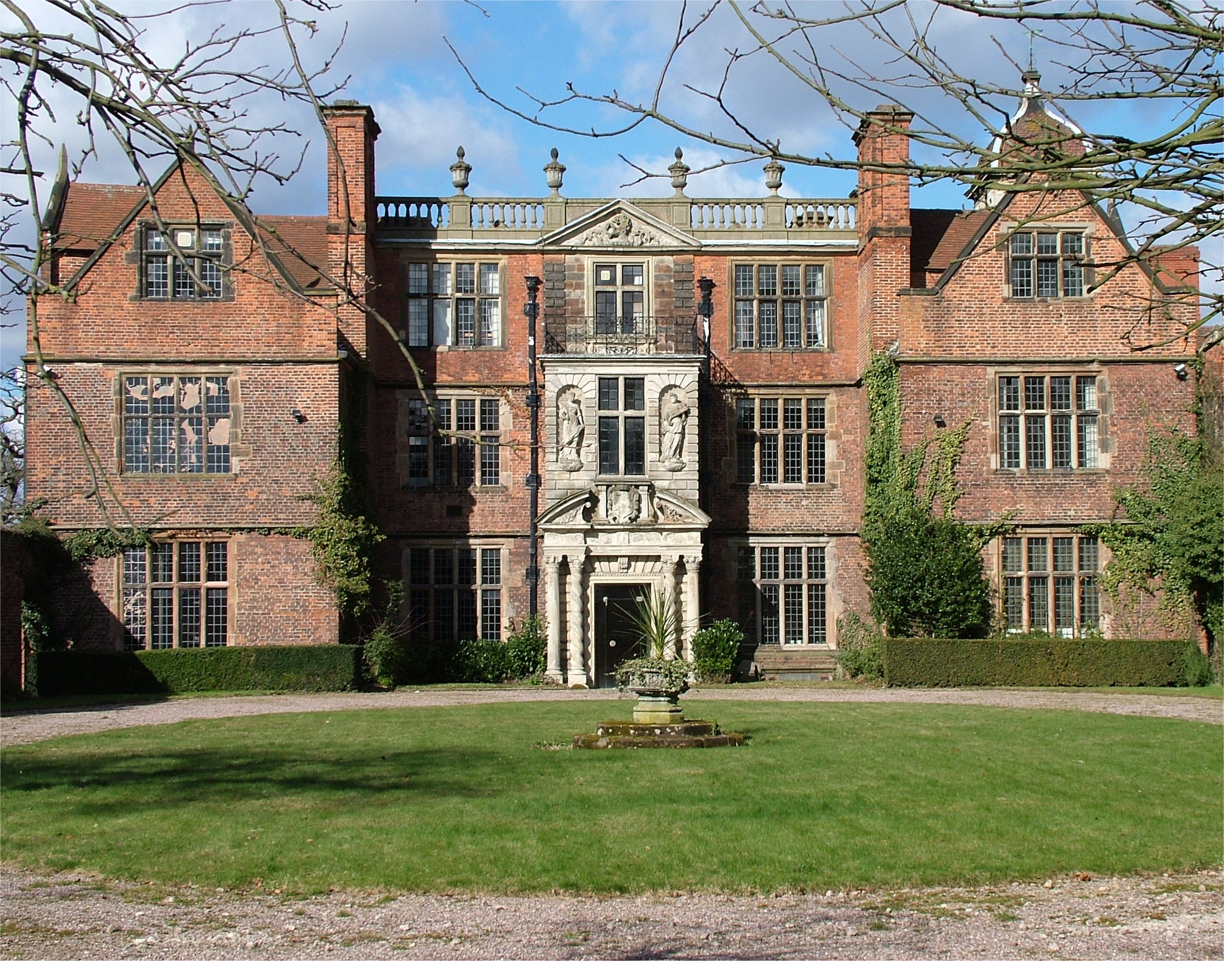
Castle Bromwich Hall
Castle Bromwich Hall is a Jacobean mansion in the Castle Bromwich area of Birmingham, England. It is a Grade I listed building. == History == The Hall...
Nearby Amenities
Located within 500m of 52.499954,-1.793733Have you been to Buckland End?
Leave your review of Buckland End below (or comments, questions and feedback).