Warfield
Civil Parish in Berkshire
England
Warfield

Warfield is a civil parish located in the county of Berkshire, England. Situated approximately 6 miles east of the town of Wokingham and 8 miles southeast of the town of Reading, Warfield covers an area of around 15 square kilometers. The parish is surrounded by several other towns and villages, including Bracknell, Binfield, and Ascot.
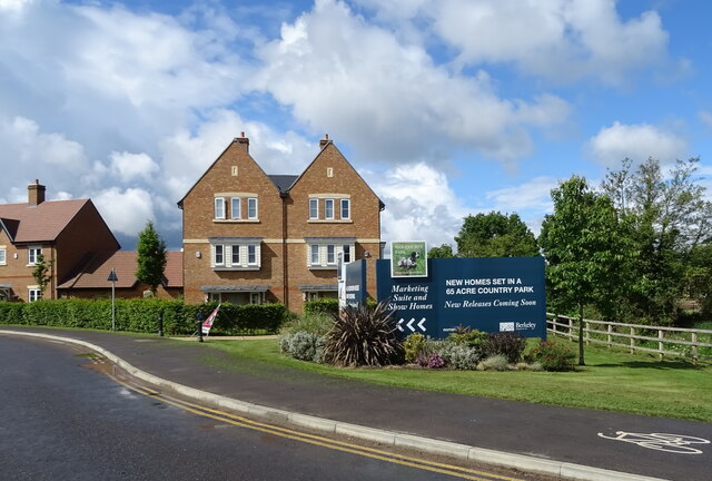
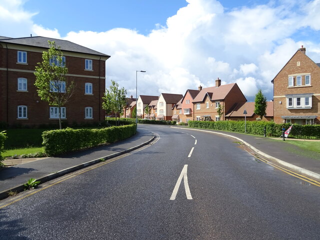
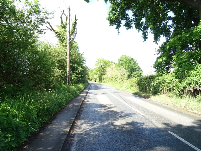
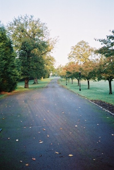
Warfield is primarily a residential area, with a population of around 9,000 people. The parish is characterized by its beautiful countryside, with open fields and woodlands that provide ample opportunities for outdoor activities such as hiking and cycling. The area is also known for its picturesque scenery and charming rural villages.
The parish has a rich history, with some parts dating back to the medieval period. There are several notable landmarks and historical sites in Warfield, including the St. Michael and All Angels Church, which dates back to the 12th century. The church features a stunning architectural design and is a focal point for the local community.
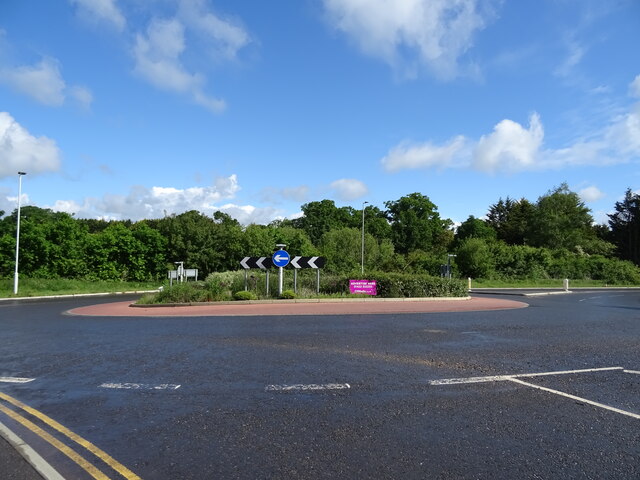
Warfield offers a range of amenities and facilities to its residents, including schools, shops, and recreational areas. The parish is well-connected to nearby towns and cities, with good transportation links by road and rail.
Overall, Warfield is a peaceful and scenic civil parish that provides a high quality of life for its residents, combining rural charm with convenient access to nearby urban areas.
If you have any feedback on the listing, please let us know in the comments section below.
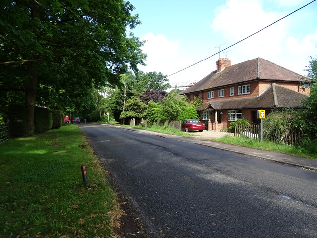
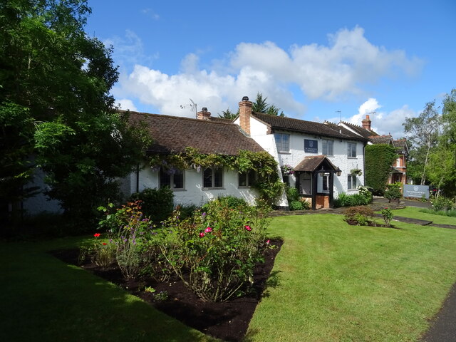
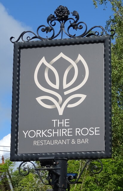
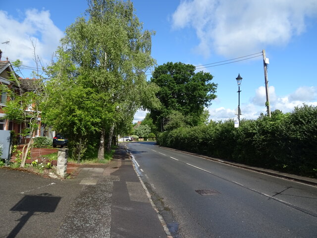
Warfield Images
Images are sourced within 2km of 51.440359/-0.738679 or Grid Reference SU8772. Thanks to Geograph Open Source API. All images are credited.


Warfield is located at Grid Ref: SU8772 (Lat: 51.440359, Lng: -0.738679)
Unitary Authority: Bracknell Forest
Police Authority: Thames Valley
What 3 Words
///dogs.strong.gross. Near Warfield, Berkshire
Related Wikis

Warfield
Warfield is a village and civil parish in the English county of Berkshire and the borough of Bracknell Forest. == History == Warfield was originally an...

Warfield Church
Warfield Parish Church is a Grade II* listed building.
Warfield Hall
Warfield Hall is a Grade II listed building at Warfield in Berkshire. == History == Warfield Hall was originally built in the 1730s and belonged to the...

Moss End
Moss End is a hamlet in Berkshire, England, within the civil parish of Warfield. The settlement lies on the A3095 road and is approximately 2 miles (3...
Nearby Amenities
Located within 500m of 51.440359,-0.738679Have you been to Warfield?
Leave your review of Warfield below (or comments, questions and feedback).