Moss End

Settlement in Berkshire

England

Moss End

Cabbage Hill Lane By Ryehurst Farm.
Cabbage Hill Lane Credit: Robin Webster

Moss End is a small village located in the county of Berkshire, England. Situated approximately three miles to the west of Bracknell, Moss End is known for its rural charm and peaceful atmosphere. The village is bordered by the A329(M) motorway to the north, which provides convenient access to nearby towns and cities.

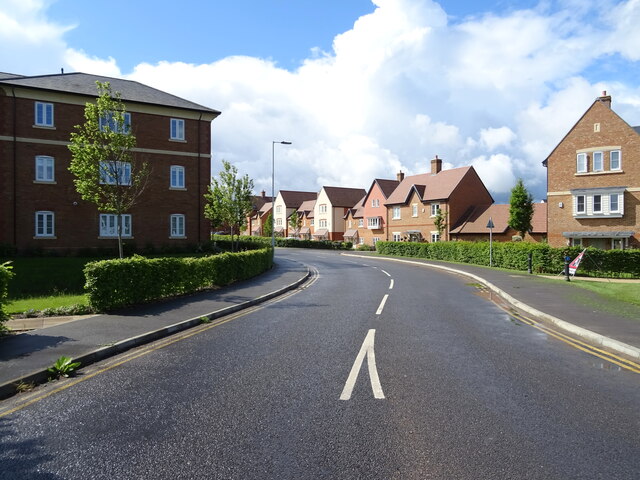
Despite its small size, Moss End offers a range of amenities to its residents. The village is home to a primary school, providing education for children aged between 4 and 11. Additionally, there is a local convenience store, ensuring that essential supplies are readily available to the community.

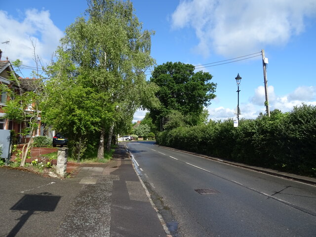
Nature enthusiasts will appreciate the picturesque surroundings of Moss End. The village is surrounded by beautiful countryside, with numerous walking and cycling paths nearby. This allows residents to fully immerse themselves in the natural beauty of the area.

Moss End benefits from good transportation links, with regular bus services connecting the village to nearby towns and villages. Additionally, the nearby Bracknell train station provides easy access to London and other major cities.

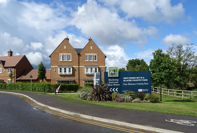
While Moss End may not have a wide range of commercial activities, its proximity to larger towns and cities means that residents can easily access a variety of shops, restaurants, and entertainment options. Overall, Moss End offers a tranquil and idyllic setting for those seeking a peaceful village lifestyle within easy reach of urban amenities.

If you have any feedback on the listing, please let us know in the comments section below.
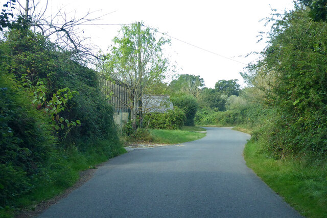
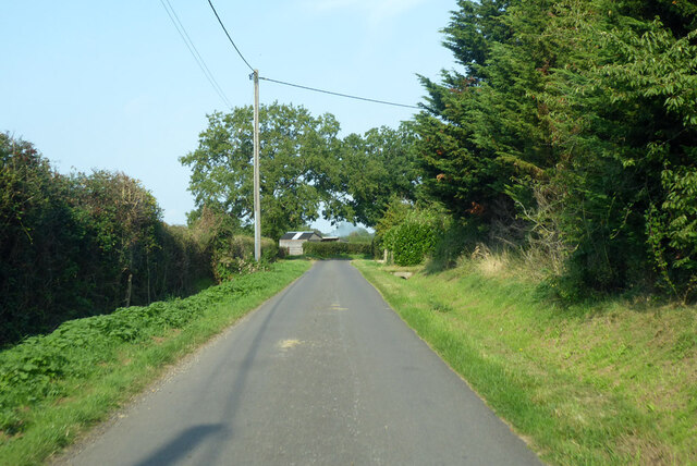
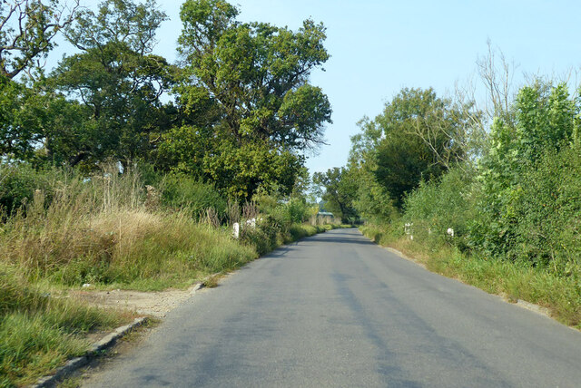
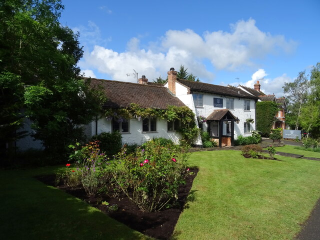
Moss End Images

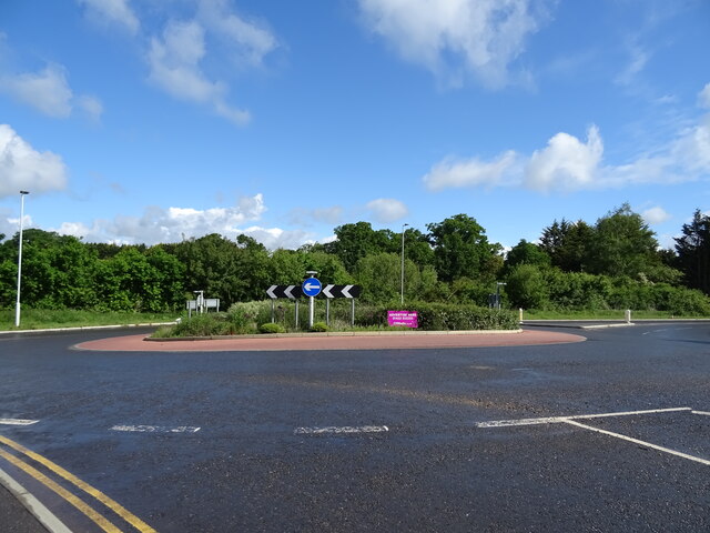
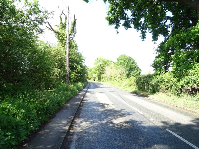
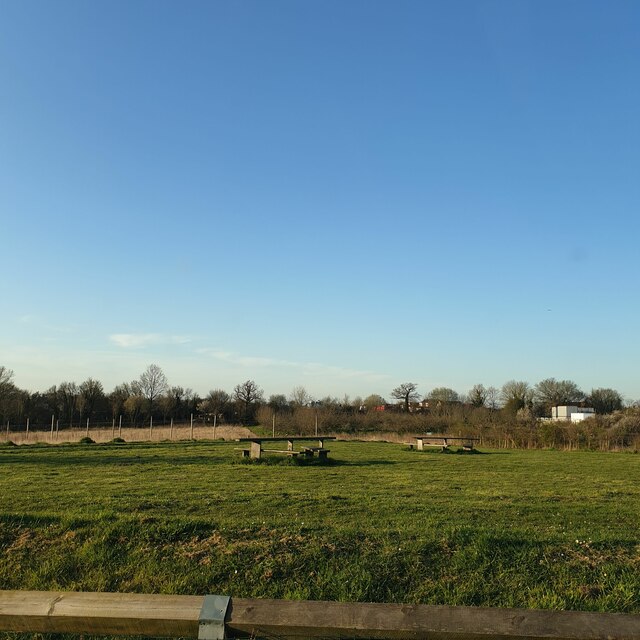
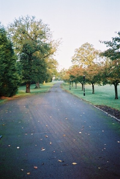
Images are sourced within 2km of 51.446832/-0.74948 or Grid Reference SU8772. Thanks to Geograph Open Source API. All images are credited.

Cabbage Hill Lane By Ryehurst Farm.
Cabbage Hill Lane
By Ryehurst Farm.
Ryehurst Lane Heading north in the general direction of Maidenhead.
Ryehurst Lane
Heading north in the general direction of Maidenhead.
Bottle Lane Heading north in the general direction of Maidenhead.
Bottle Lane
Heading north in the general direction of Maidenhead.
St Michael the Archangel, Warfield: churchyard
St Michael, Warfield at twilight
House on the B3034
House on the B3034
B3034, Newell Green
B3034, Newell Green
House, Newell Green
House, Newell Green
The Yorkshire Rose, Newell Green
Sign for the Yorkshire Rose, Newell Green See <a href="https://www.geograph.org.uk/photo/7280477">SU8771 : The Yorkshire Rose, Newell Green</a> for context.
Sign for the Yorkshire Rose, Newell Green
Forest Road (A3095), Newell Green
Woodhurst Park New housing development, Warfield.
Woodhurst Park
New housing development, Warfield.
Woodhurst Park New housing development, Warfield.
Woodhurst Park
New housing development, Warfield.
Roundabout on the B3034
B3034 towards Binfield
Elizabeth II postbox on Warfield Street, Newell Green Postbox No. RG42 74.
Elizabeth II postbox on Warfield Street, Newell Green
Postbox No. RG42 74.
The Yorkshire Rose The Yorkshire Rose is a restaurant on Forest Road in Newell Green.
The Yorkshire Rose
The Yorkshire Rose is a restaurant on Forest Road in Newell Green.
Larks Hill A view from the car park over Larks Hill open space. It is often home to some cows.
Larks Hill
A view from the car park over Larks Hill open space. It is often home to some cows.
Show me another place!

Moss End is located at Grid Ref: SU8772 (Lat: 51.446832, Lng: -0.74948)

Unitary Authority: Bracknell Forest

Police Authority: Thames Valley

What 3 Words

///rots.admit.finds. Near Warfield, Berkshire

Nearby Locations

Moss End Warfield

Related Wikis

Moss End

Moss End is a hamlet in Berkshire, England, within the civil parish of Warfield. The settlement lies on the A3095 road and is approximately 2 miles (3...

Jealott's Hill

Jealott's Hill is a village in the county of Berkshire, England, within the civil parish of Warfield. The settlement is on the A3095 road approximately...

Warfield Hall

Warfield Hall is a Grade II listed building at Warfield in Berkshire. == History == Warfield Hall was originally built in the 1730s and belonged to the...

Warfield

Warfield is a village and civil parish in the English county of Berkshire and the borough of Bracknell Forest. == History == Warfield was originally an...

Nearby Amenities

Located within 500m of 51.446832,-0.74948
Pub
Shepherds House
Addr City: Warfield
Addr Housename: Sheperds House
Addr Postcode: RG42 6ER
Addr Street: Maidenhead Road
Brand: Chef & Brewer
Brand Wikidata: Q5089491
Capacity: 80
Cuisine: regional
Takeaway: no
Website: https://www.chefandbrewer.com/pubs/berkshire/shepherds-house
Lat/Long: 51.4468528/-0.7519898
Hawthorn Lodge
Alt Name: Midway Farm
Place: isolated_dwelling
Lat/Long: 51.4482203/-0.7503537
Holdfast Hall
Place: isolated_dwelling
Lat/Long: 51.4511202/-0.7498108
Moss End Garden Centre
Alt Name: Mossend Farm
Shop: garden_centre
Lat/Long: 51.4458017/-0.7503933
Moss End
Place: hamlet
Wikidata: Q6916553
Lat/Long: 51.4466111/-0.7515434
Tickleback Row
Place: hamlet
Lat/Long: 51.4478183/-0.7550386
Bench
Direction: 9
Lat/Long: 51.4441205/-0.7441176
Feathers and Fur Falconry Centre
Attraction: animal
Lat/Long: 51.4451439/-0.7508113
The data included in this document is from www.openstreetmap.org. The data is made available under ODbL.

Have you been to Moss End?

Leave your review of Moss End below (or comments, questions and feedback).