Buckland Dinham
Settlement in Somerset Mendip
England
Buckland Dinham
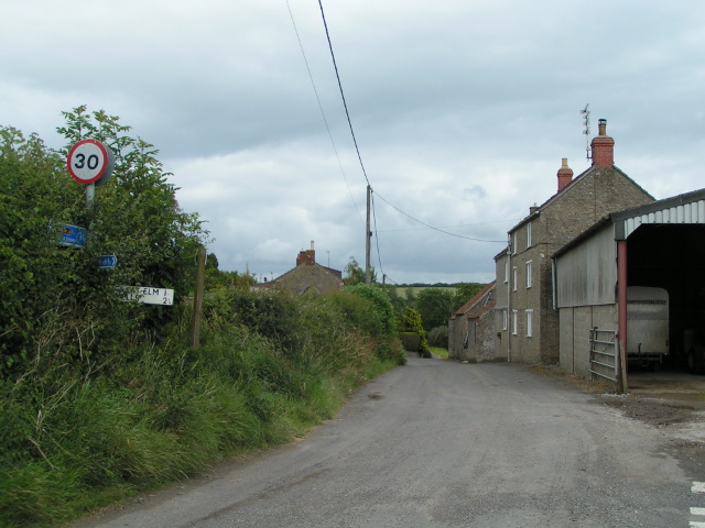
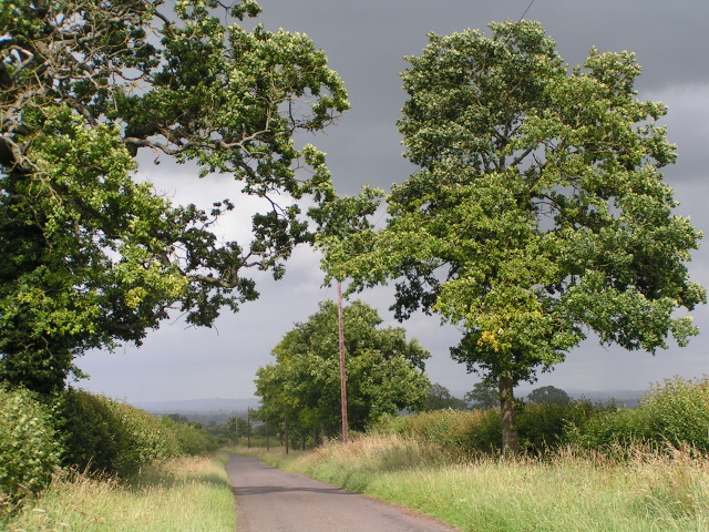
Buckland Dinham is a small village located in the county of Somerset, England. Situated approximately 11 miles southwest of the city of Bath, it falls within the Mendip district. The village is nestled amidst picturesque countryside, characterized by rolling hills and lush green fields.
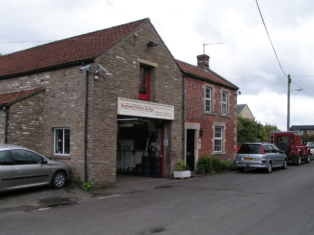
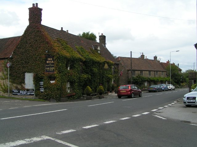
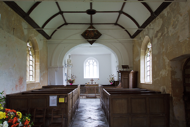
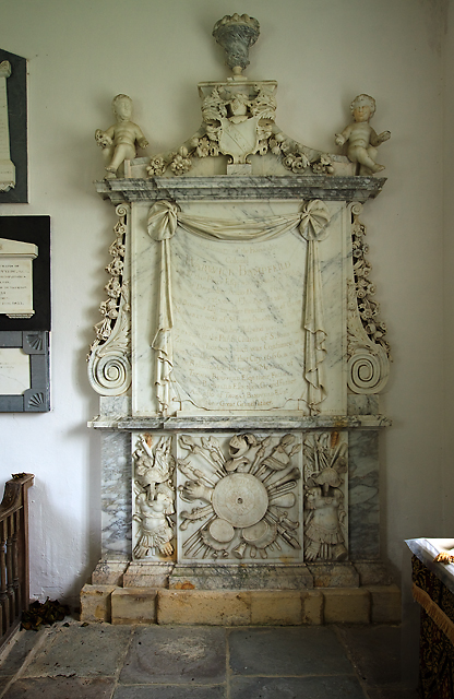
With a population of around 400 residents, Buckland Dinham exudes a peaceful and close-knit atmosphere. The village is known for its charming and well-preserved traditional architecture, including several beautiful thatched cottages and historic stone houses. Its quaint village center is centered around the local church, St. Michael and All Angels, which dates back to the 12th century.
Buckland Dinham offers a range of amenities to its residents and visitors. The village boasts a well-regarded primary school, providing education to local children. Additionally, there is a village hall that serves as a hub for community events and gatherings.
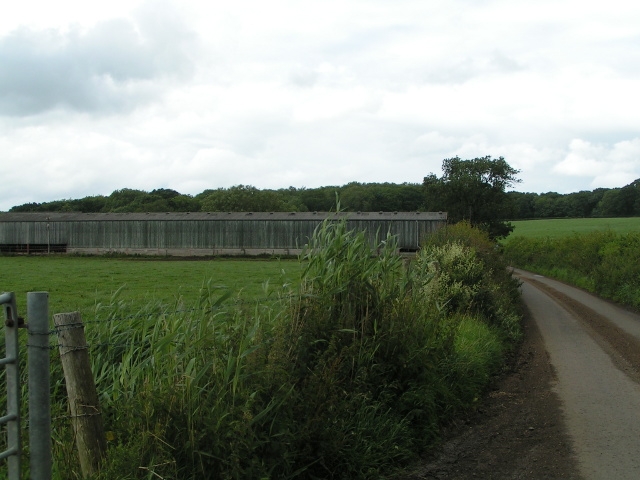
For those seeking outdoor activities, Buckland Dinham is surrounded by stunning natural beauty. The nearby Mendip Hills offer opportunities for hiking, cycling, and exploring the scenic countryside. The village is also located close to the popular Cheddar Gorge, famous for its dramatic cliffs and caves.
Despite its relatively small size, Buckland Dinham benefits from good transport links. The A361 road passes through the village, connecting it to nearby towns and cities. The village is also served by regular bus services, providing access to surrounding areas.
Overall, Buckland Dinham is a picturesque and tranquil village that offers a peaceful escape in the heart of Somerset's beautiful countryside.
If you have any feedback on the listing, please let us know in the comments section below.
Buckland Dinham Images
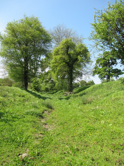
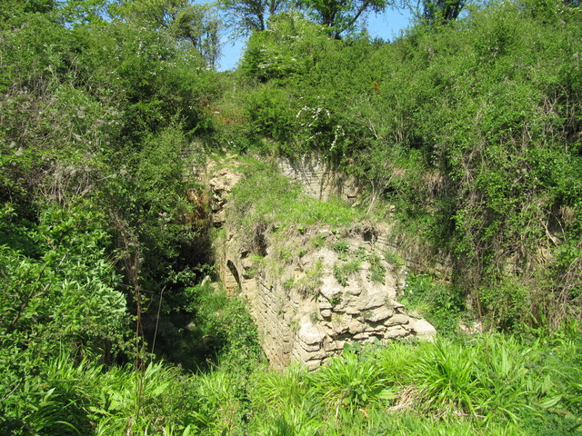
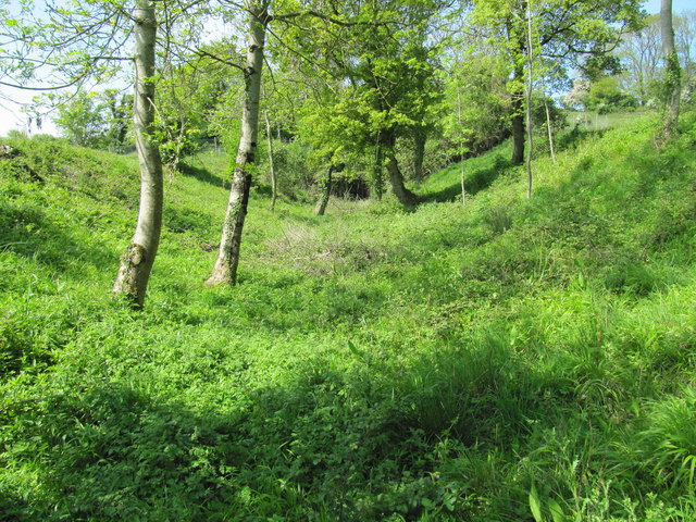
Images are sourced within 2km of 51.258984/-2.357069 or Grid Reference ST7551. Thanks to Geograph Open Source API. All images are credited.
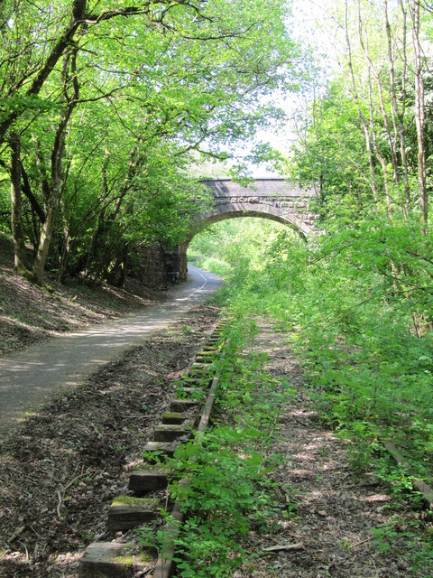
![Gate to the field A simple gate opposite Flowers Farm Bridge - see [[[3329125]] - that allows non-motorised passage to the other field on the other side of the railway. See also <a href="https://www.geograph.org.uk/photo/3330254">ST7450 : For all travellers</a> for the cattle grid here.](https://s3.geograph.org.uk/geophotos/03/33/02/3330247_6c5c9f5a.jpg)
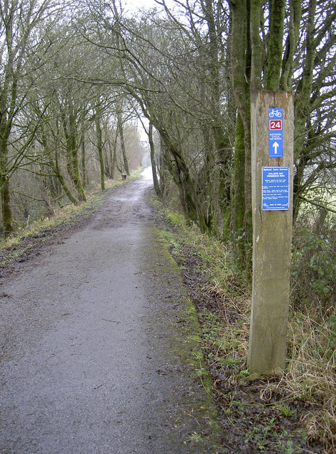
![For all travellers Despite a simple cyclepath running alongside the old railway line, these gates are clearly designed to control a variety of wheeled, two-legged and four-legged users through. The adjoining bridge crossing the line is not one for motorised traffic as it leads to a field. See <a href="https://www.geograph.org.uk/photo/3330247">ST7450 : Gate to the field</a> for the gate and [[[3329125]] for the little bridge.](https://s2.geograph.org.uk/geophotos/03/33/02/3330254_7a6542ad.jpg)
Buckland Dinham is located at Grid Ref: ST7551 (Lat: 51.258984, Lng: -2.357069)
Administrative County: Somerset
District: Mendip
Police Authority: Avon and Somerset
What 3 Words
///soil.questions.success. Near Frome, Somerset
Nearby Locations
Related Wikis

Buckland Dinham
Buckland Dinham is a small village near Frome in Somerset, England. The village has a population of 381. The village's main industry is farming (arable...

Murtry Aqueduct
Murtry Aqueduct is a three-arched aqueduct that was intended to carry the Dorset and Somerset Canal over the Mells River, near Frome in Somerset, England...

Great Elm
Great Elm is a village and civil parish between Mells and Frome in the Mendip district of Somerset, England. The parish includes the hamlet of Hapsford...

Vallis Vale
Vallis Vale (grid reference ST755490) is a 23.9 hectare biological and geological Site of Special Scientific Interest near Great Elm in Somerset, notified...

Tedbury Camp
Tedbury Camp is a multivallate Iron Age promontory hill fort defended by two parallel banks near Great Elm, Somerset, England. == Background == Hill forts...

Orchardleigh Estate
Orchardleigh (also spelled Orchardlea) is a country estate in Somerset, approximately two miles north of Frome, and on the southern edge of the village...

Wadbury Camp
Wadbury Camp is a promontory fort in Somerset, England that protected the mining district of the Mendip Hills in pre-Roman times. It seems to have been...

Old Iron Works, Mells
Old Iron Works, Mells (Fussells' Lower Works) (grid reference ST738488) is a 0.25 hectare biological Site of Special Scientific Interest, in the Wadbury...
Nearby Amenities
Located within 500m of 51.258984,-2.357069Have you been to Buckland Dinham?
Leave your review of Buckland Dinham below (or comments, questions and feedback).