Wantisden

Civil Parish in Suffolk East Suffolk

England

Wantisden

Entrance to Bentwaters Parks, Wantisden The former lane from Chillesford to Rendlesham, which ran through the dispersed hamlet of Wantisden, ends here at the southern boundary of the former Bentwaters airfield.  The site, including the former hangars seen here, is now used for storage and industry.
Entrance to Bentwaters Parks, Wantisden Credit: Christopher Hilton

Wantisden is a civil parish located in the county of Suffolk, England. It is situated in the East Suffolk district and covers an area of approximately 9.5 square kilometers. The parish includes the small village of Wantisden, which is surrounded by picturesque countryside and farmland.

The village itself is known for its charming, traditional architecture, with many of its buildings dating back to the 17th and 18th centuries. The centerpiece of the village is the St. John the Baptist Church, a beautiful medieval church that has been well-preserved over the years.

Wantisden is a sparsely populated area, with a small but tight-knit community. The village offers a peaceful and tranquil environment, away from the hustle and bustle of larger towns and cities. It is a popular destination for those seeking a quiet retreat or a place to enjoy outdoor activities such as walking, cycling, and birdwatching.

The surrounding countryside of Wantisden is characterized by rolling hills, meandering rivers, and expansive fields. It is home to a diverse range of wildlife and boasts several nature reserves, providing ample opportunities for nature enthusiasts to explore and appreciate the local flora and fauna.

Although Wantisden is predominantly a rural area, it is conveniently located near the town of Woodbridge, which offers a wider range of amenities including shops, schools, and healthcare facilities. The village is also well-connected, with good road links to nearby towns and cities, making it easily accessible for both residents and visitors.

If you have any feedback on the listing, please let us know in the comments section below.

Wantisden Images

Images are sourced within 2km of 52.119079/1.448243 or Grid Reference TM3652. Thanks to Geograph Open Source API. All images are credited.

Entrance to Bentwaters Parks, Wantisden The former lane from Chillesford to Rendlesham, which ran through the dispersed hamlet of Wantisden, ends here at the southern boundary of the former Bentwaters airfield.  The site, including the former hangars seen here, is now used for storage and industry.
Entrance to Bentwaters Parks, Wantisden
The former lane from Chillesford to Rendlesham, which ran through the dispersed hamlet of Wantisden, ends here at the southern boundary of the former Bentwaters airfield. The site, including the former hangars seen here, is now used for storage and industry.
Fields near Butley Viewing Valley Farm.
Fields near Butley
Viewing Valley Farm.
Cut Mark Rendlesham RAF Bentwaters Control Tower Cut Mark Rendlesham RAF Bentwaters Control Tower, W angle (building 61.)
Cut Mark Rendlesham RAF Bentwaters Control Tower
Cut Mark Rendlesham RAF Bentwaters Control Tower, W angle (building 61.)
RAF Bentwaters Building 661 Police Dog Kennels RAF Bentwaters Building 661 Police Dog Kennels
RAF Bentwaters Building 661 Police Dog Kennels
RAF Bentwaters Missile Shop RAF Bentwaters Missile Shop.
.
RAF Bentwaters Missile Shop
RAF Bentwaters Missile Shop. .
RAF Bentwaters Building 560 Hardened Security Shelter RAF Bentwaters Building 560 Hardened Security Shelter
RAF Bentwaters Building 560 Hardened Security Shelter
RAF Bentwaters Building 659 Nissen Type Structure RAF Bentwaters Building 659 Nissen Type Structure
RAF Bentwaters Building 659 Nissen Type Structure
RAF Bentwaters Building 1681 92nd TFS Flight Office RAF Bentwaters Building 1681 92nd TFS Flight Office
RAF Bentwaters Building 1681 92nd TFS Flight Office
RAF Bentwaters Building 1680 92nd TFS Office RAF Bentwaters Building 1680 92nd TFS Office.
RAF Bentwaters Building 1680 92nd TFS Office
RAF Bentwaters Building 1680 92nd TFS Office.
RAF Bentwaters Building 1679 92nd Weapon Shop RAF Bentwaters Building 1679 92nd Weapon Shop.
RAF Bentwaters Building 1679 92nd Weapon Shop
RAF Bentwaters Building 1679 92nd Weapon Shop.
RAF Bentwaters (Hot Row) WSA NATO Cube RAF Bentwaters (Hot Row) WSA NATO Cube.
RAF Bentwaters (Hot Row) WSA NATO Cube
RAF Bentwaters (Hot Row) WSA NATO Cube.
RAF Bentwaters Building 679 Wing Security Control RAF Bentwaters Building 679 Wing Security Control.
RAF Bentwaters Building 679 Wing Security Control
RAF Bentwaters Building 679 Wing Security Control.
RAF Bentwaters Building 1822 92nd TFS Commanders HAS RAF Bentwaters Building 1822 92nd TFS Commanders HAS.
RAF Bentwaters Building 1822 92nd TFS Commanders HAS
RAF Bentwaters Building 1822 92nd TFS Commanders HAS.
RAF Bentwaters Air Combat Manoeuvring Instrumentation Facility RAF Bentwaters Air Combat Manoeuvring Instrumentation Facility.
RAF Bentwaters Air Combat Manoeuvring Instrumentation Facility
RAF Bentwaters Air Combat Manoeuvring Instrumentation Facility.
RAF Bentwaters Building 663 RAF Bentwaters Building 663.
RAF Bentwaters Building 663
RAF Bentwaters Building 663.
RAF Bentwaters Building 1616 527th AS Commanders HAS RAF Bentwaters Building 1616 527th AS Commanders HAS.
RAF Bentwaters Building 1616 527th AS Commanders HAS
RAF Bentwaters Building 1616 527th AS Commanders HAS.
RAF Bentwaters Building 657 RAF Bentwaters Building 657.
RAF Bentwaters Building 657
RAF Bentwaters Building 657.
RAF Bentwaters Building 156 RAF Bentwaters Building 156.
RAF Bentwaters Building 156
RAF Bentwaters Building 156.
Show me another place!

Wantisden is located at Grid Ref: TM3652 (Lat: 52.119079, Lng: 1.448243)

Administrative County: Suffolk

District: East Suffolk

Police Authority: Suffolk

What 3 Words

///merely.napkins.afflicted. Near Rendlesham, Suffolk

Nearby Locations

Wantisden

Related Wikis

Sandlings Forest

Sandlings Forest is a 2,483.8 hectare biological Site of Special Scientific Interest in two large blocks, Rendlesham Forest and Tunstall Forest, and two...

Wantisden

Wantisden is a small village and civil parish in the East Suffolk district of Suffolk in eastern England. Largely consisting of a single farm and ancient...
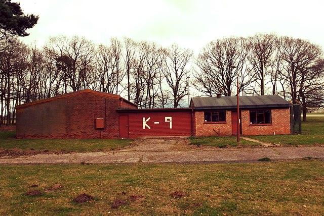
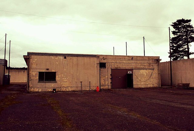
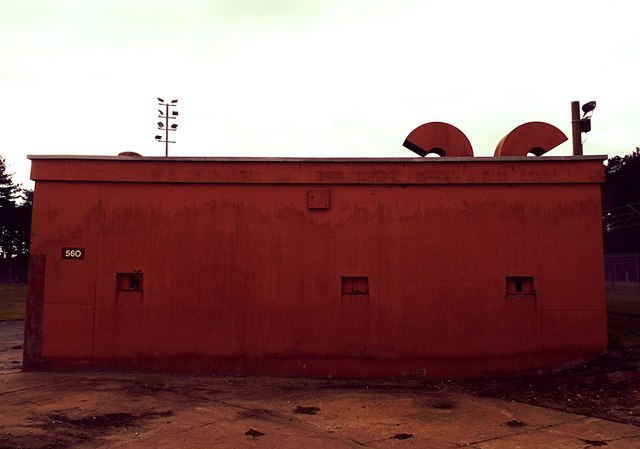
RAF Bentwaters

Royal Air Force Bentwaters or more simply RAF Bentwaters, now known as Bentwaters Parks, is a former Royal Air Force station about 80 miles (130 km) northeast...

Butley, Suffolk

Butley is a village and civil parish in the English county of Suffolk. Butley lies 7+1⁄2 miles (12 km) east of the town of Woodbridge on the B1084 (Orford...

Nearby Amenities

Located within 500m of 52.119079,1.448243
Power: pole
Lat/Long: 52.1148765/1.4485913
Parking
Access: private
Lat/Long: 52.1184349/1.4473267
Wantsden Hall
Place: locality
Lat/Long: 52.1182447/1.4470813
Power: pole
Lat/Long: 52.117492/1.448358
Power: pole
Lat/Long: 52.115812/1.4485162
Power: pole
Lat/Long: 52.1166965/1.4484438
Content: fuel
Man Made: storage_tank
Material: metal
Lat/Long: 52.1235184/1.4472408
Content: fuel
Man Made: storage_tank
Material: metal
Lat/Long: 52.1234979/1.4472461
Communication Microwave: yes
Fixme: Height approximated
Height: 20
Man Made: tower
Support: scaffold
Tower Type: communication
Lat/Long: 52.1232134/1.4478563
The data included in this document is from www.openstreetmap.org. The data is made available under ODbL.

Have you been to Wantisden?

Leave your review of Wantisden below (or comments, questions and feedback).