Buckland
Settlement in Surrey Mole Valley
England
Buckland
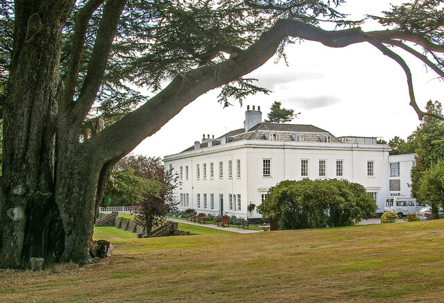
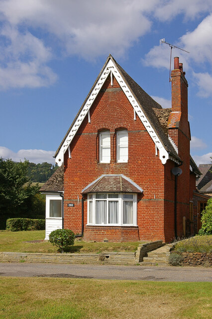
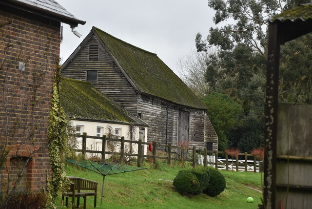
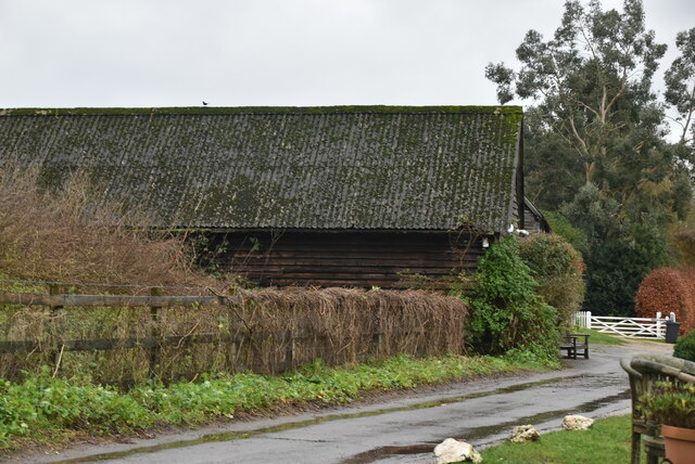
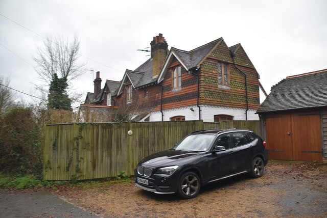
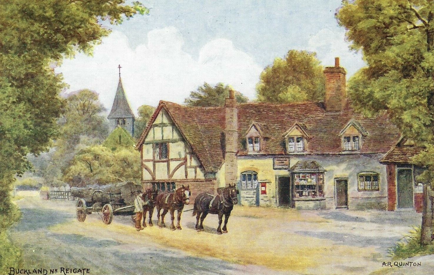
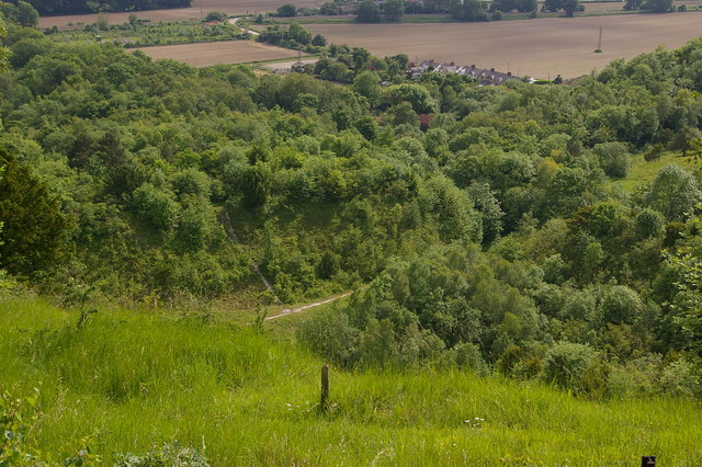
Buckland is a picturesque village located in the county of Surrey, England. Situated in the district of Mole Valley, it is nestled amidst the beautiful countryside landscapes of the North Downs, offering residents and visitors a tranquil and idyllic setting. The village is approximately 2.5 miles north-west of the bustling market town of Reigate and enjoys easy access to the nearby towns of Dorking and Redhill.
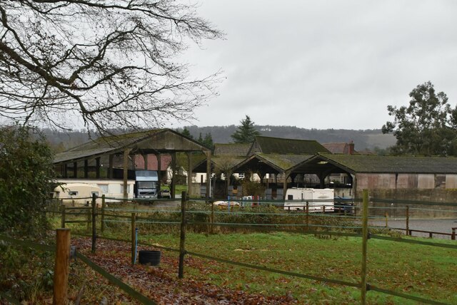
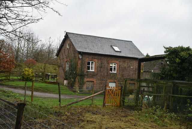
Buckland is known for its charming character, with a mix of traditional and modern properties lining its quaint streets. The village boasts a close-knit community, with a range of amenities to cater to residents' needs. These include a village hall, a local primary school, a post office, and a well-regarded pub offering a warm and friendly atmosphere.
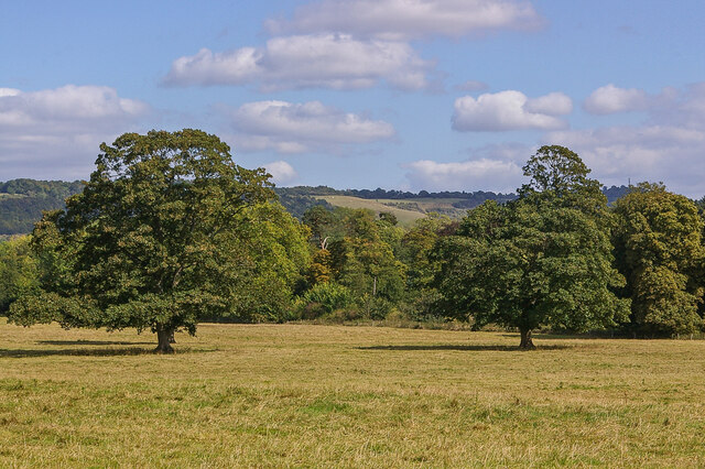
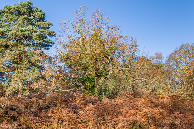
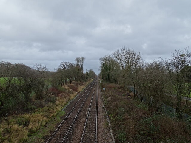
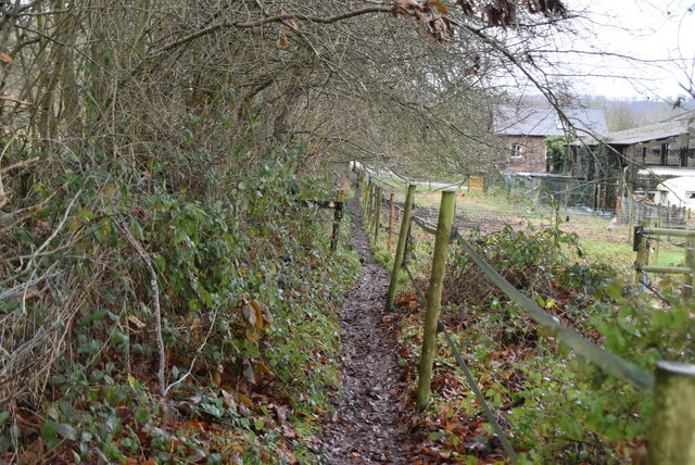
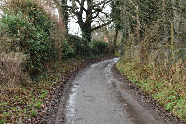
Nature enthusiasts will appreciate the village's proximity to the stunning countryside, which provides ample opportunities for walking, cycling, and exploring the great outdoors. The North Downs Way, a popular long-distance footpath, passes through Buckland, offering panoramic views of the surrounding countryside. Additionally, the nearby Buckland Park Lake provides a tranquil spot for fishing and birdwatching.
The village's location also offers excellent transport links, with easy access to major road networks such as the A25 and M25, providing convenient travel to London and other nearby towns. Train services from nearby stations, including Reigate and Redhill, offer regular connections to central London and other destinations.
Overall, Buckland, Surrey, with its charming village atmosphere and stunning natural surroundings, provides a peaceful and picturesque place to live or visit.
If you have any feedback on the listing, please let us know in the comments section below.
Buckland Images
Images are sourced within 2km of 51.2435/-0.2523061 or Grid Reference TQ2250. Thanks to Geograph Open Source API. All images are credited.

Buckland is located at Grid Ref: TQ2250 (Lat: 51.2435, Lng: -0.2523061)
Administrative County: Surrey
District: Mole Valley
Police Authority: Surrey
What 3 Words
///bind.slides.flame. Near Reigate, Surrey
Nearby Locations
Related Wikis

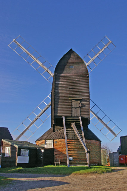
Buckland Windmill
Buckland Windmill is a grade II listed smock mill at Buckland, Surrey, England which has been restored to working order. It is the only surviving wind...
Buckland, Surrey
Buckland is a village and civil parish in the Mole Valley district of Surrey, England, between Dorking and Reigate, its nearest towns. The civil parish...
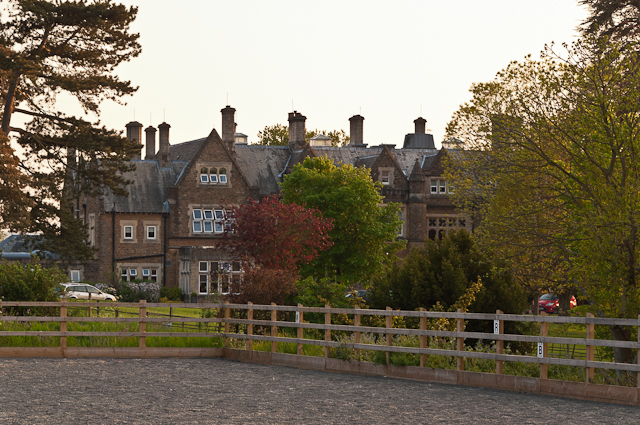
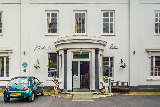
Hartsfield Manor
Hartsfield Manor is an early Victorian house of historical significance located in Betchworth, Surrey, England. It was built in the 1860s as a private...
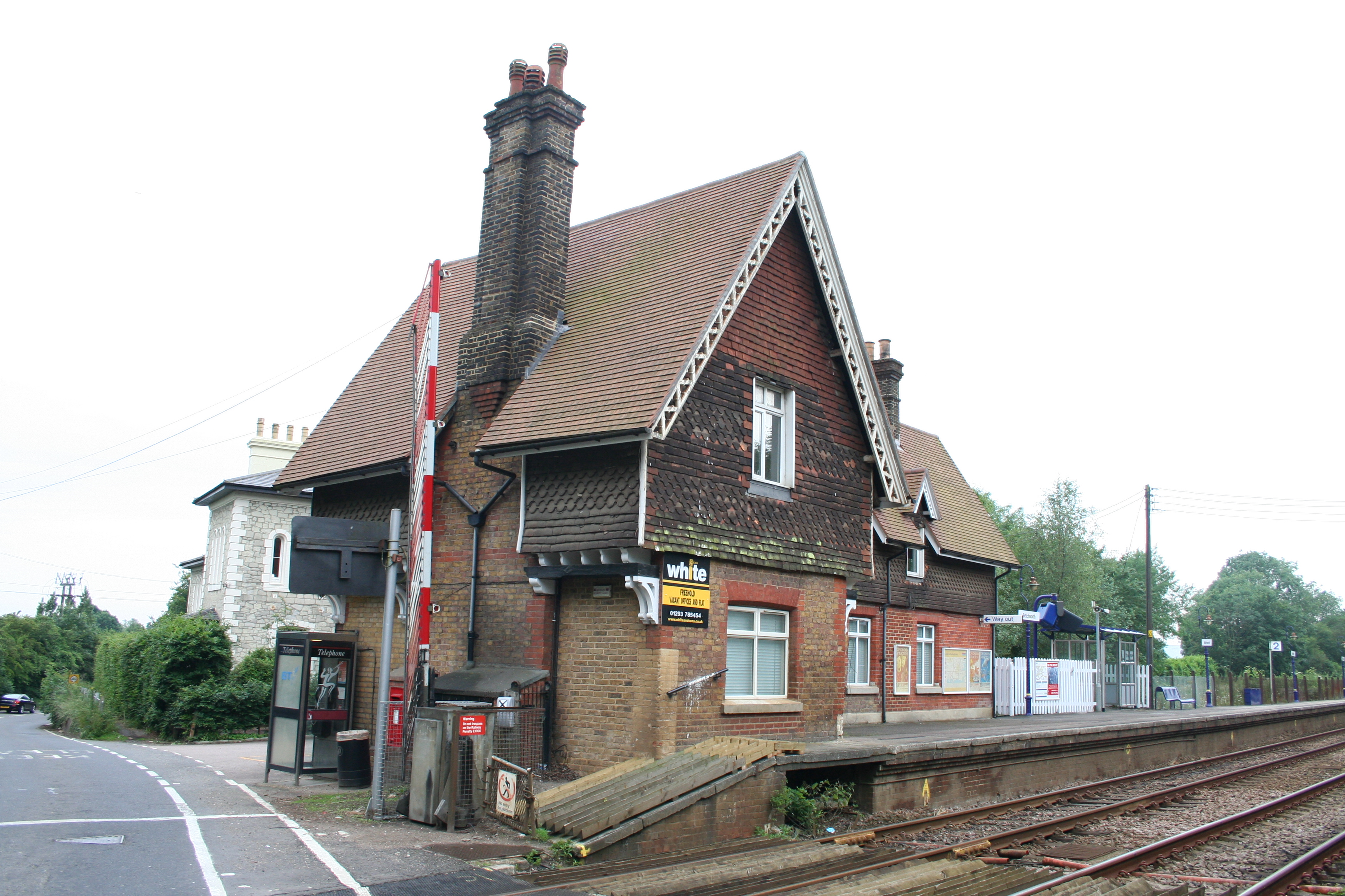
Betchworth railway station
Betchworth railway station serves the village of Betchworth in Surrey, England. It is on the North Downs Line, 27 miles 17 chains (27.21 miles, 43.79 km...

Betchworth
Betchworth is a village and civil parish in the Mole Valley district of Surrey, England. The village centre is on the north bank of the River Mole and...
Reigate Heath Windmill
Reigate Heath Windmill is a grade II* listed post mill at Reigate Heath, Surrey, England which has been restored and is used as a chapel. It is thought...

Reigate Heath
Reigate Heath is a 61.7-hectare (152-acre) biological Site of Special Scientific Interest west of Reigate in Surrey. An area of 51.6 hectares (128 acres...
Brockham Limeworks
Brockham Limeworks is a 45-hectare (110-acre) nature reserve north of Brockham in Surrey. It is owned by Surrey County Council. Part of it is a Scheduled...
Nearby Amenities
Located within 500m of 51.2435,-0.2523061Have you been to Buckland?
Leave your review of Buckland below (or comments, questions and feedback).