Buckland
Settlement in Hertfordshire East Hertfordshire
England
Buckland
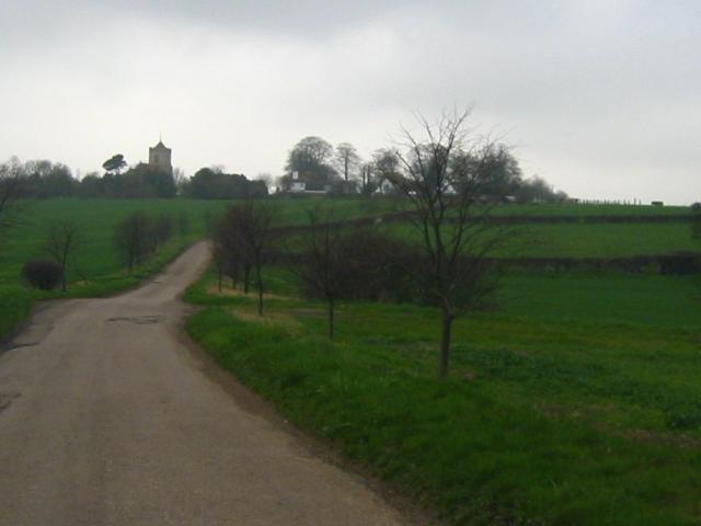
Buckland is a small village located in Hertfordshire, England. Situated in the district of North Hertfordshire, it is nestled in the picturesque countryside and surrounded by rolling hills and lush green fields. The village is approximately 35 miles north of London, making it an appealing location for commuters looking for a peaceful and rural setting.
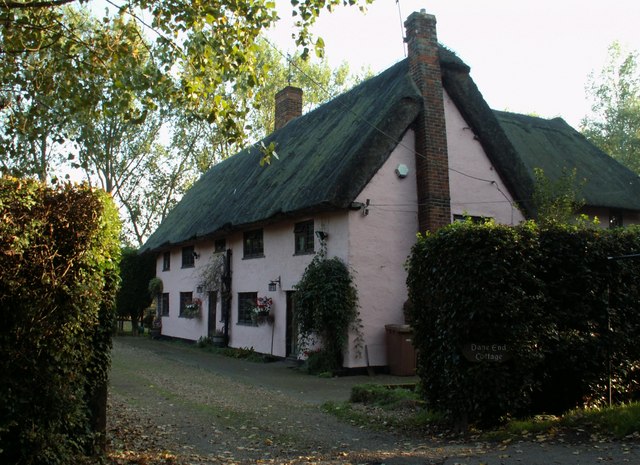
Buckland has a rich history dating back centuries. The village is mentioned in the Domesday Book of 1086, which highlights its significance even in medieval times. Today, it maintains its quaint and traditional character with a collection of charming thatched cottages and historic buildings.
Despite its small size, Buckland offers a range of amenities to its residents. The village boasts a local pub, The Buckland Brewery, which is a popular spot for both locals and visitors to enjoy a drink or a meal. Additionally, there is a village hall that hosts various community events and activities throughout the year.
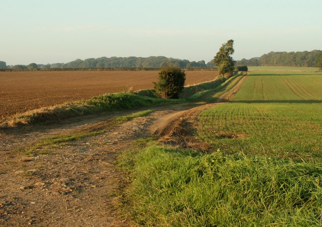
For those who enjoy outdoor activities, Buckland provides ample opportunities to explore the beautiful surrounding countryside. The village is surrounded by numerous footpaths and bridleways, making it an ideal location for walkers, cyclists, and horse riders to enjoy the scenic landscapes.
Buckland benefits from its close proximity to larger towns and cities like Hitchin and Letchworth Garden City, which offer a wider range of amenities including shops, restaurants, and entertainment options. With its idyllic setting and rich history, Buckland provides a peaceful and charming place to call home in the heart of Hertfordshire.
If you have any feedback on the listing, please let us know in the comments section below.
Buckland Images
Images are sourced within 2km of 51.987743/-0.023153424 or Grid Reference TL3533. Thanks to Geograph Open Source API. All images are credited.


Buckland is located at Grid Ref: TL3533 (Lat: 51.987743, Lng: -0.023153424)
Administrative County: Hertfordshire
District: East Hertfordshire
Police Authority: Hertfordshire
What 3 Words
///museum.pampered.inquest. Near Buntingford, Hertfordshire
Nearby Locations
Related Wikis

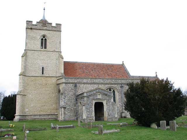
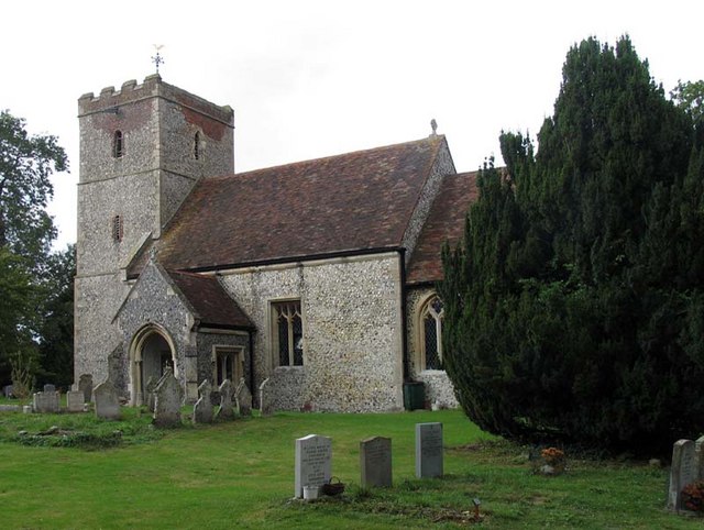
St Andrew's Church, Buckland
St Andrew's Church is a redundant Anglican church in the village of Buckland, Hertfordshire, England. It is recorded in the National Heritage List for...

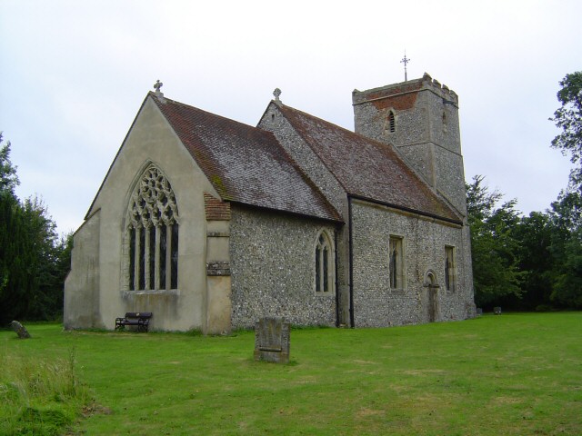
Buckland, Hertfordshire
Buckland is a village and civil parish in the East Hertfordshire district of Hertfordshire, England. The village is situated on the A10 road, with the...

Chipping, Hertfordshire
Chipping is a hamlet in the civil parish of Buckland in the East Hertfordshire district, in the county of Hertfordshire, England. Situated along the A10...

Reed, Hertfordshire
Reed is a small village and civil parish in North Hertfordshire. It is situated on a chalk ridge, approximately 3 miles (4.8 km) south of the market town...
Nearby Amenities
Located within 500m of 51.987743,-0.023153424Have you been to Buckland?
Leave your review of Buckland below (or comments, questions and feedback).