Walesby
Civil Parish in Lincolnshire West Lindsey
England
Walesby
Walesby is a civil parish located in the district of West Lindsey in Lincolnshire, England. Situated approximately 11 miles north of Lincoln, it covers an area of around 6 square miles and has a population of around 400 people.
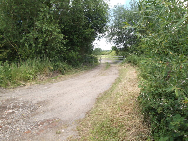
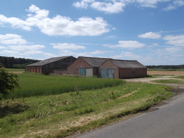
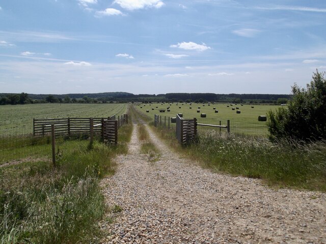
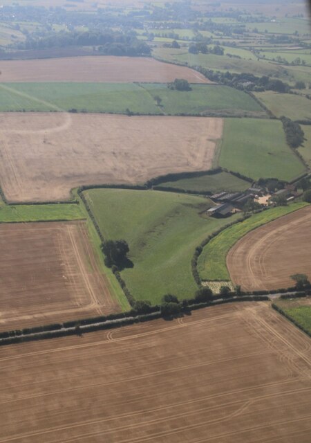
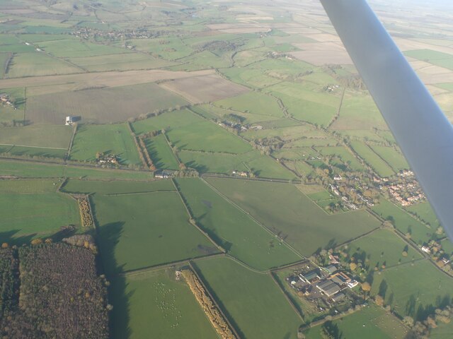
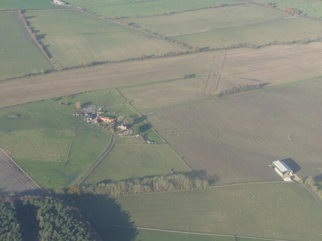
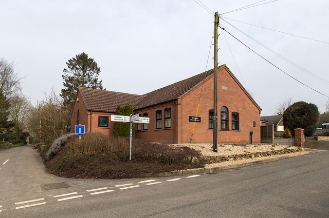
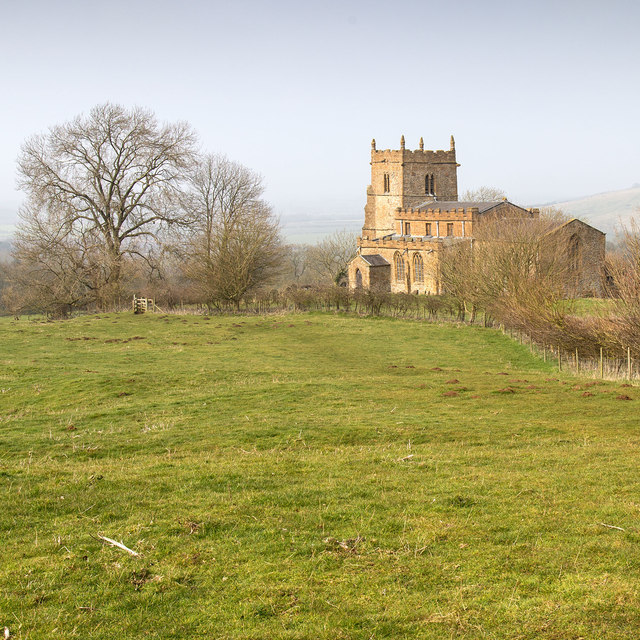
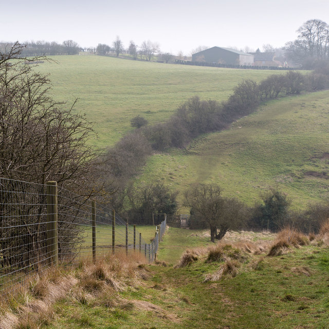
The village itself is set in a picturesque countryside landscape, with rolling hills and lush green fields surrounding it. It is characterized by a mix of traditional stone cottages and newer houses, giving it a charming and quaint atmosphere. The village center features a handful of amenities including a local pub, a village hall, a primary school, and a church.
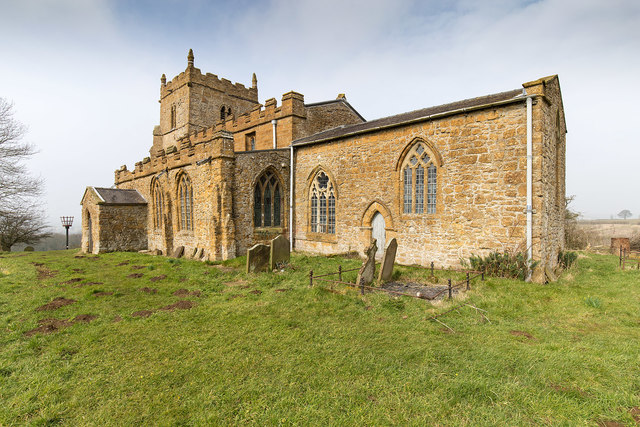
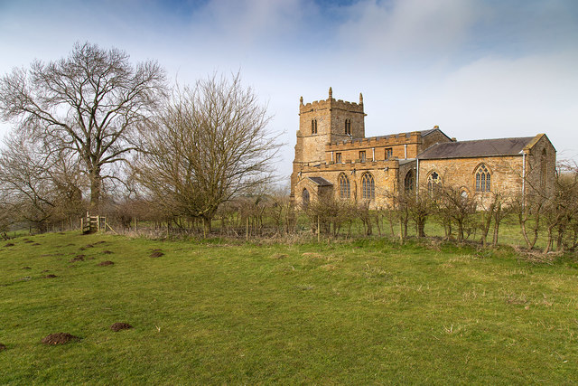
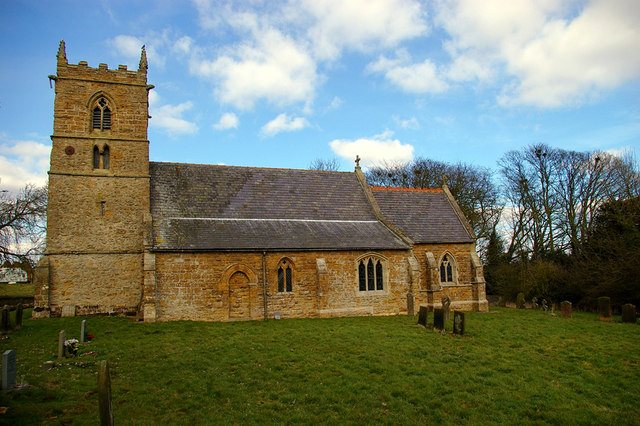
Walesby is known for its rich historical heritage, with evidence of Roman and Anglo-Saxon settlements found in the area. The village is home to the Grade II listed All Saints Church, which dates back to the 13th century and showcases beautiful stained glass windows and intricate stonework.
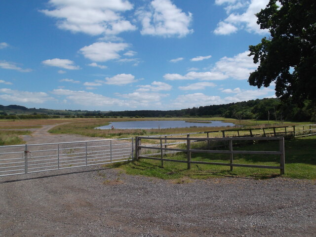
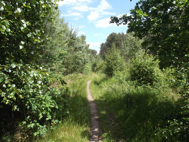
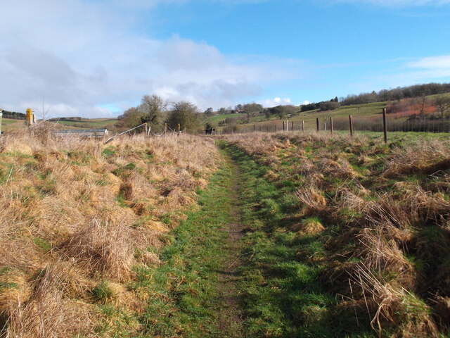
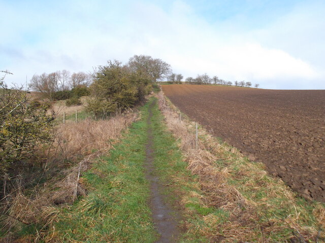
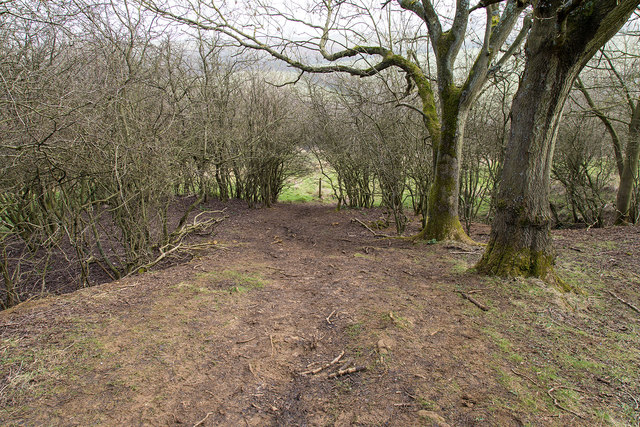
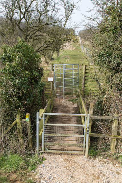
The surrounding countryside offers numerous walking and cycling trails, allowing residents and visitors to explore the stunning natural beauty of the area. The nearby Lincolnshire Wolds, an Area of Outstanding Natural Beauty, provides further opportunities for outdoor activities, including hiking and wildlife spotting.
Overall, Walesby is a peaceful and idyllic village, offering a close-knit community and access to the stunning Lincolnshire countryside. It provides a perfect retreat for those seeking a tranquil and scenic place to live or visit.
If you have any feedback on the listing, please let us know in the comments section below.
Walesby Images
Images are sourced within 2km of 53.411674/-0.296577 or Grid Reference TF1391. Thanks to Geograph Open Source API. All images are credited.
Walesby is located at Grid Ref: TF1391 (Lat: 53.411674, Lng: -0.296577)
Administrative County: Lincolnshire
District: West Lindsey
Police Authority: Lincolnshire
What 3 Words
///reporting.lively.befitting. Near Market Rasen, Lincolnshire
Nearby Locations
Related Wikis

Walesby, Lincolnshire
Walesby is a village and civil parish in the West Lindsey district of Lincolnshire, England. The population of the civil parish at the 2011 census was...

2008 Market Rasen earthquake
On 27 February 2008 at 00:56:47.8s GMT an earthquake occurred at Market Rasen, Lincolnshire. According to the British Geological Survey the earthquake...

Tealby
Tealby is a village and civil parish in the West Lindsey district of Lincolnshire, England, situated on the edge of the Lincolnshire Wolds and 3 miles...

Claxby and Usselby railway station
Claxby and Usselby railway station was a station that served the hamlets of Claxby and Usselby in Lincolnshire, England. It was opened in 1848 on a branch...
Normanby le Wold
Normanby le Wold is a village and civil parish in the West Lindsey district of Lincolnshire, England. It is in the Lincolnshire Wolds, an Area of Outstanding...

Market Rasen Racecourse
Market Rasen Racecourse is a National Hunt racecourse in the town of Market Rasen, in Lincolnshire, England. It is owned and operated by Jockey Club Racecourses...
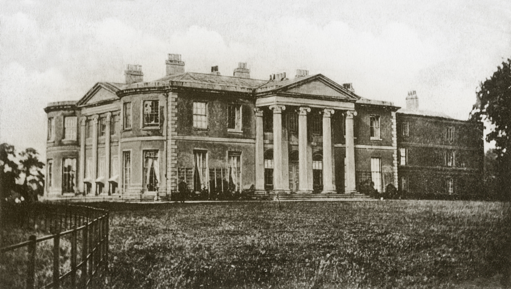
Willingham House
Willingham House was a country house in North Willingham (near Market Rasen), Lincolnshire, England. It was built around 1790 for Ayscoghe Boucherett...

Claxby by Normanby
Claxby, or Claxby by Normanby, is a village and civil parish in the West Lindsey district of Lincolnshire, England. The population of the civil parish...
Nearby Amenities
Located within 500m of 53.411674,-0.296577Have you been to Walesby?
Leave your review of Walesby below (or comments, questions and feedback).