Uckington

Civil Parish in Gloucestershire Tewkesbury

England

Uckington

Withy Bridge The River Chelt flowing westward to the Severn passes under a minor road here.
Withy Bridge Credit: Stephen Bowden

Uckington is a civil parish located in the county of Gloucestershire, England. Situated approximately 6 miles east of the city of Gloucester, it is primarily a rural area with a population of around 500 residents.

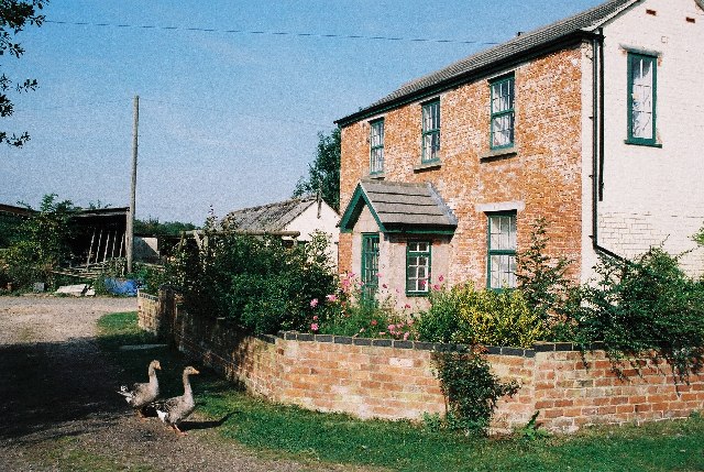
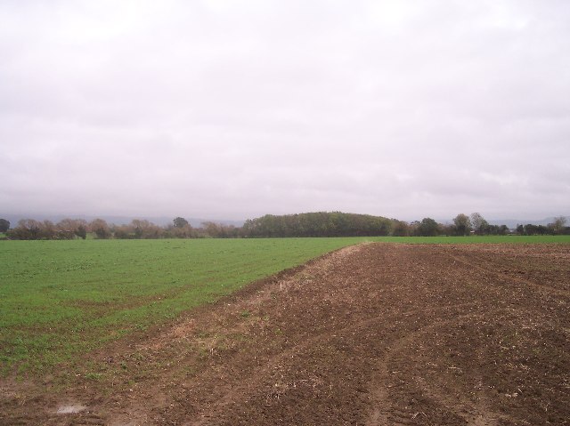
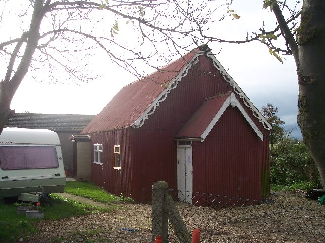
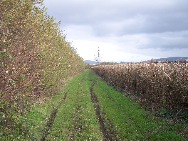
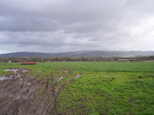
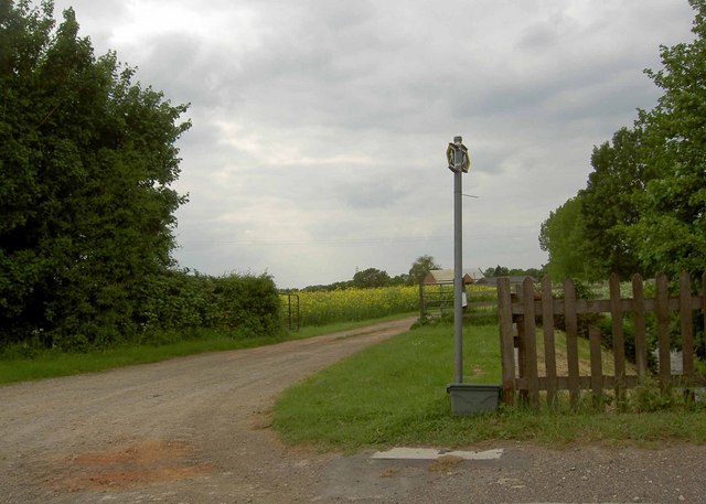
The parish is surrounded by picturesque countryside, characterized by rolling hills, farmland, and charming villages. Uckington itself is a small, tight-knit community with a sense of tranquility and a close connection to nature. The landscape is dotted with traditional stone houses and farmsteads, adding to its rural charm.

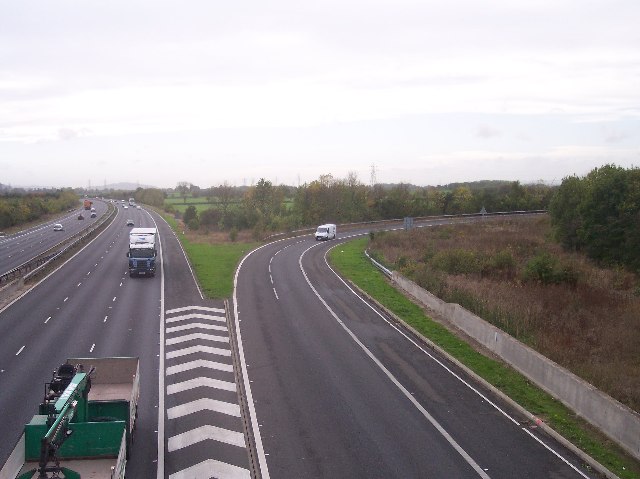
Despite its rural setting, Uckington benefits from its proximity to larger towns and cities. Gloucester, with its historical sites, cultural attractions, and shopping districts, is easily accessible. The M5 motorway is also conveniently close, providing excellent transport links to other parts of the country.

The parish is known for its agricultural heritage, with farming playing a significant role in the local economy. The fields surrounding Uckington are often used for grazing livestock, and the area is renowned for its high-quality dairy products. The parish also features several small businesses and services that cater to the needs of the local community.

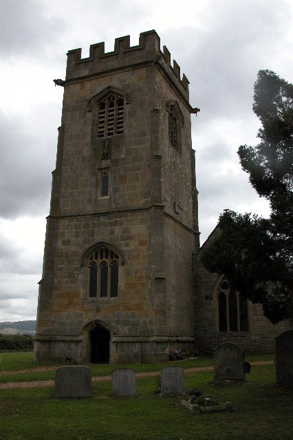
Uckington boasts a strong sense of community spirit, with various social events and activities organized throughout the year. The parish church, St. Leonard's, serves as a focal point for the community, hosting regular services and events. The parish also has a primary school, which plays a crucial role in providing education to local children.

In summary, Uckington is a picturesque and close-knit civil parish in Gloucestershire, characterized by its rural beauty, agricultural heritage, and strong community ties.

If you have any feedback on the listing, please let us know in the comments section below.
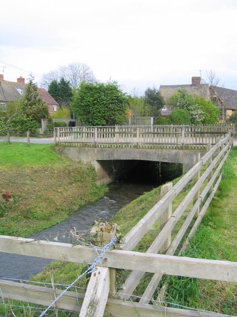
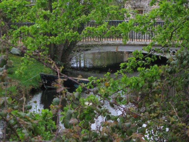
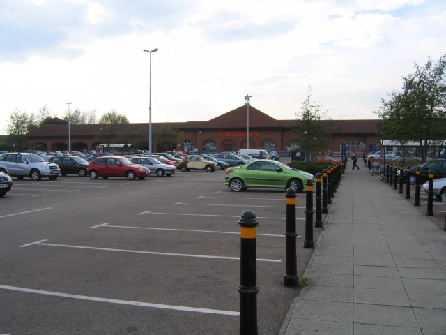
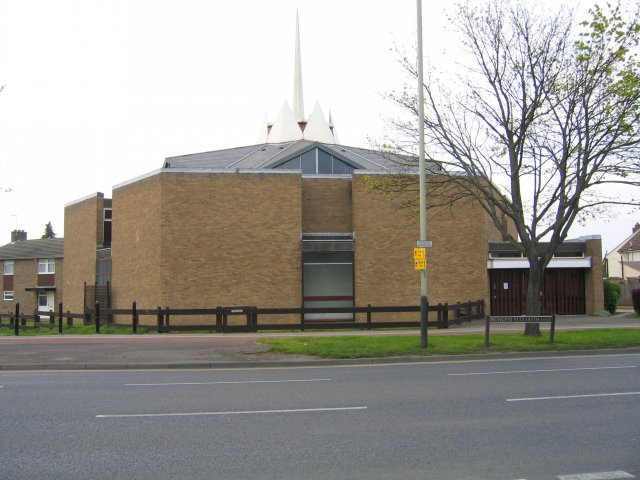
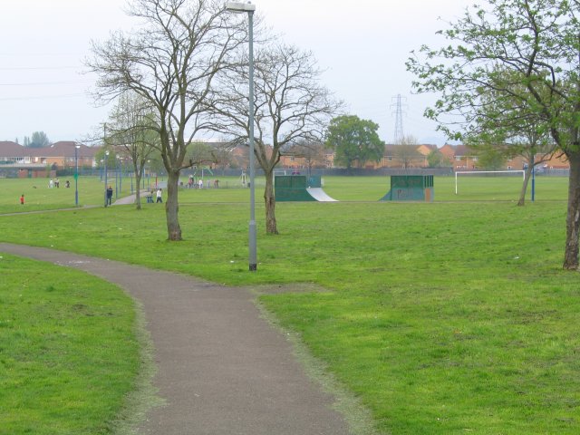
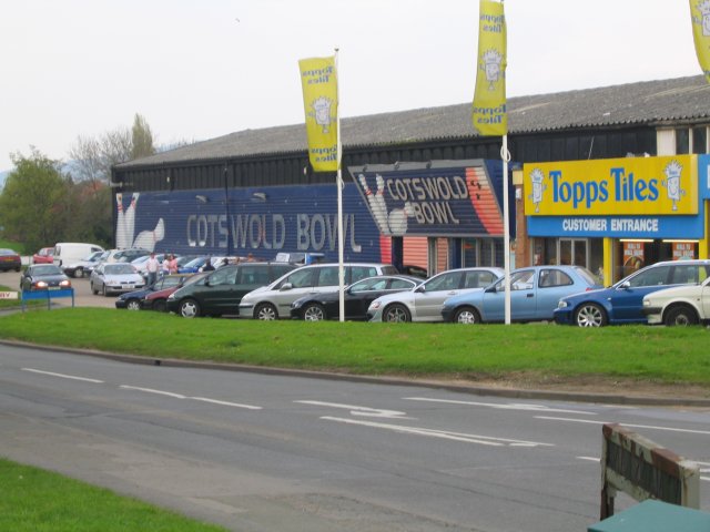
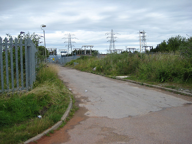
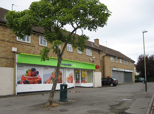
Uckington Images

Images are sourced within 2km of 51.926144/-2.119056 or Grid Reference SO9125. Thanks to Geograph Open Source API. All images are credited.

Withy Bridge The River Chelt flowing westward to the Severn passes under a minor road here.
Withy Bridge
The River Chelt flowing westward to the Severn passes under a minor road here.
Uckington Moat A mediaeval moated site.  Little of the mediaeval buildings remain, apart from the moat itself which now surrounds some much later buildings.
Uckington Moat
A mediaeval moated site. Little of the mediaeval buildings remain, apart from the moat itself which now surrounds some much later buildings.
Sainsbury's Supermarket This superstore is the anchor of the Gallagher Retail Park on the A4019 (Tewksbury Road). Circulation is anticlockwise.
Sainsbury's Supermarket
This superstore is the anchor of the Gallagher Retail Park on the A4019 (Tewksbury Road). Circulation is anticlockwise.
St Thomas More Church A Roman Catholic Church on Princess Elizabeth Way.
St Thomas More Church
A Roman Catholic Church on Princess Elizabeth Way.
Springbank Park A patch of green in the heart of the Hester's Way estate on the Northwestern edge of Cheltenham.
Springbank Park
A patch of green in the heart of the Hester's Way estate on the Northwestern edge of Cheltenham.
Cotswold Bowl Ten Pin Bowling Lanes Cotswold Bowl is in the heart of the Kingsditch industrial estate.
Cotswold Bowl Ten Pin Bowling Lanes
Cotswold Bowl is in the heart of the Kingsditch industrial estate.
Elmstone Hardwicke Church St Mary Magdalene church, Elmstone Hardwicke.
Elmstone Hardwicke Church
St Mary Magdalene church, Elmstone Hardwicke.
Colmans Farm Aside from the ugly monstrosity that is the M5 motorway, the main feature of this square is Colmans Farm.
Colmans Farm
Aside from the ugly monstrosity that is the M5 motorway, the main feature of this square is Colmans Farm.
Fields near Piff's Elm Looking across the square in south easterly direction towards an unnamed copse and the lorries on the M5 motorway visible through the trees.
Fields near Piff's Elm
Looking across the square in south easterly direction towards an unnamed copse and the lorries on the M5 motorway visible through the trees.
Iron Chapel, Uckington This corrugated iron chapel, no longer in use, is the last building in the village on the road out to Elmstone Hardwicke.
Iron Chapel, Uckington
This corrugated iron chapel, no longer in use, is the last building in the village on the road out to Elmstone Hardwicke.
M5 Junction 10 A motorway junction with limited access. Only traffic travelling along the Tewkesbury road out of Cheltenham can get onto the M5 and then only the northbound carriageway. Likewise only traffic travelling south on the M5 can leave here, and then only travel into Cheltenham. View looking south.
M5 Junction 10
A motorway junction with limited access. Only traffic travelling along the Tewkesbury road out of Cheltenham can get onto the M5 and then only the northbound carriageway. Likewise only traffic travelling south on the M5 can leave here, and then only travel into Cheltenham. View looking south.
Old Road from Fairoaks Looking north-east along the lane from close to Fairoaks.
Old Road from Fairoaks
Looking north-east along the lane from close to Fairoaks.
View from Fairoaks, Uckington Looking east north east over the saturated fields with the cotswold hills in the background.
View from Fairoaks, Uckington
Looking east north east over the saturated fields with the cotswold hills in the background.
The Cross Hands
The Cross Hands
Footpath off Withy Bridge Lane
Sainsbury's Store Located in the Kingsditch estate north of Tewkesbury Road, Cheltenham.
Sainsbury's Store
Located in the Kingsditch estate north of Tewkesbury Road, Cheltenham.
Sub-station, Springbank Not a pleasant view from the houses across the road.
Sub-station, Springbank
Not a pleasant view from the houses across the road.
Hester's Way Post Office And Co-operative shop. Hester's Way Road, Cheltenham.
Hester's Way Post Office
And Co-operative shop. Hester's Way Road, Cheltenham.
Show me another place!

Uckington is located at Grid Ref: SO9125 (Lat: 51.926144, Lng: -2.119056)

Administrative County: Gloucestershire

District: Tewkesbury

Police Authority: Gloucestershire

What 3 Words

///coins.range.cases. Near Cheltenham, Gloucestershire

Nearby Locations

Uckington

Related Wikis

Nearby Amenities

Located within 500m of 51.926144,-2.119056
Uckington
Place: village
Source: npe / knowledge
Wikidata: Q7876794
Wikipedia: en:Uckington, Gloucestershire
Lat/Long: 51.9229836/-2.120481
Bus Stop
Moat Lane
Bus: yes
Naptan AtcoCode: 1600GL4939
Naptan Bearing: NW
Naptan CommonName: Moat Lane
Naptan Indicator: nr
Naptan NaptanCode: glodpadg
Naptan Street: Tewkesbury Road A4019
Public Transport: platform
Shelter: yes
Source: naptan_import;survey
Lat/Long: 51.9219875/-2.1214458
Bus Stop
Moat Lane
Bus: yes
Naptan AtcoCode: 1600GL4940
Naptan Bearing: SE
Naptan CommonName: Moat Lane
Naptan Indicator: opp
Naptan NaptanCode: glodpadw
Naptan Street: Tewkesbury Road A4019
Public Transport: platform
Shelter: yes
Source: naptan_import;survey
Lat/Long: 51.9221469/-2.1211417
Bus Stop
The Green
Bus: yes
Naptan AtcoCode: 1600GLA851
Naptan Bearing: NE
Naptan CommonName: The Green
Naptan Indicator: Opp
Naptan NaptanCode: glodmwta
Naptan Street: Hardwicke Ln
Naptan Verified: no
Public Transport: platform
Source: naptan_import
Lat/Long: 51.9227954/-2.1222941
Bus Stop
The Green
Bus: yes
Naptan AtcoCode: 1600GLA852
Naptan Bearing: SW
Naptan CommonName: The Green
Naptan NaptanCode: glodmwtd
Naptan Street: Hardwicke Ln
Naptan Verified: no
Public Transport: platform
Source: naptan_import
Lat/Long: 51.9228315/-2.1221633
Barrier: kissing_gate
Foot: yes
Lat/Long: 51.9266136/-2.1194735
Barrier: kissing_gate
Foot: yes
Lat/Long: 51.9235849/-2.1189402
Barrier: kissing_gate
Foot: yes
Note: There are two kissing gates very close together here.
Lat/Long: 51.9236144/-2.1189555
Barrier: kissing_gate
Foot: yes
Lat/Long: 51.9269956/-2.1188802
Barrier: kissing_gate
Foot: yes
Lat/Long: 51.9286473/-2.1194042
Barrier: kissing_gate
Foot: yes
Lat/Long: 51.9299605/-2.119178
Barrier: stile
Foot: yes
Note: This stile is just a metre or so away from the kissing gate.
Lat/Long: 51.9299728/-2.1191714
Power: pole
Lat/Long: 51.9222802/-2.1194494
Post Box
Brand: Royal Mail
Brand Wikidata: Q638098
Operator: Royal Mail
Operator Wikidata: Q638098
Ref: GL51 118
Lat/Long: 51.9221497/-2.1209861
Old Hall Cottages South
Power: pole
Transformer: distribution
Voltage Primary: 11000
Lat/Long: 51.9283217/-2.1140172
Power: pole
Lat/Long: 51.9289486/-2.1146415
Power: pole
Lat/Long: 51.9297028/-2.115469
Uckington Church
Power: pole
Transformer: distribution
Voltage Primary: 11000
Lat/Long: 51.9247854/-2.1210788
Power: pole
Lat/Long: 51.9241916/-2.1205223
Power: pole
Lat/Long: 51.9236383/-2.1200059
Power: pole
Lat/Long: 51.922879/-2.119318
The data included in this document is from www.openstreetmap.org. The data is made available under ODbL.

Have you been to Uckington?

Leave your review of Uckington below (or comments, questions and feedback).