Uckfield
Civil Parish in Sussex Wealden
England
Uckfield

Uckfield is a civil parish located in the Wealden District of East Sussex, England. Situated approximately 15 miles north of the south coast, the town is surrounded by picturesque countryside, making it an ideal location for those seeking a mix of rural charm and convenient access to nearby cities.
The town has a population of around 15,000 and is known for its rich history, dating back to Saxon times. Uckfield was mentioned in the Domesday Book in 1086, highlighting its significance as a settlement even in medieval times.
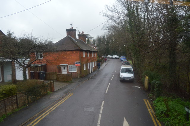
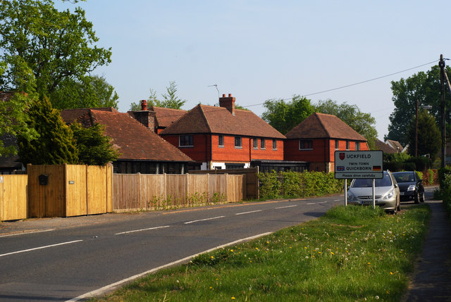
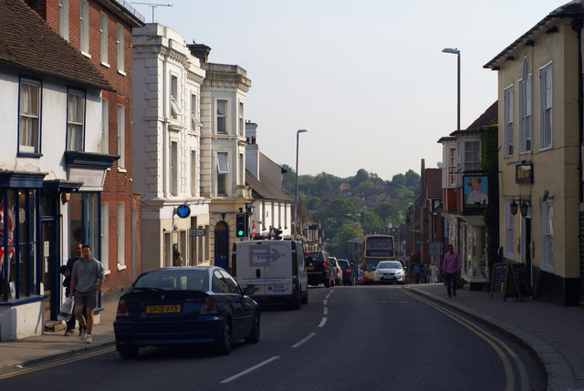
Today, Uckfield offers a range of amenities and services to its residents. The town center is home to a variety of independent shops, boutiques, cafes, and restaurants, providing a vibrant and diverse retail experience. The High Street is particularly attractive, with its traditional architecture and historic buildings.
For those interested in the arts, Uckfield boasts a cinema, art gallery, and a community center that hosts regular events and exhibitions. The town also has a leisure center, providing facilities for sports and fitness enthusiasts.
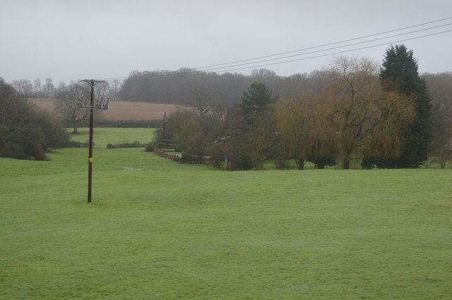
Nature lovers will appreciate the numerous green spaces in and around Uckfield. Luxford Park, adjacent to the town center, offers beautiful gardens, playgrounds, and a skate park. Additionally, the nearby Ashdown Forest – famously associated with Winnie-the-Pooh – provides ample opportunities for walking, cycling, and picnicking.
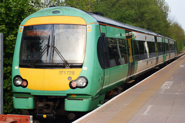
Transport links in Uckfield are well-established, with a train station connecting to London and various bus services serving surrounding villages. It is also conveniently located near major road networks, making it easily accessible by car.
Overall, Uckfield offers a charming and well-connected community with a rich history and access to both urban and rural amenities.
If you have any feedback on the listing, please let us know in the comments section below.
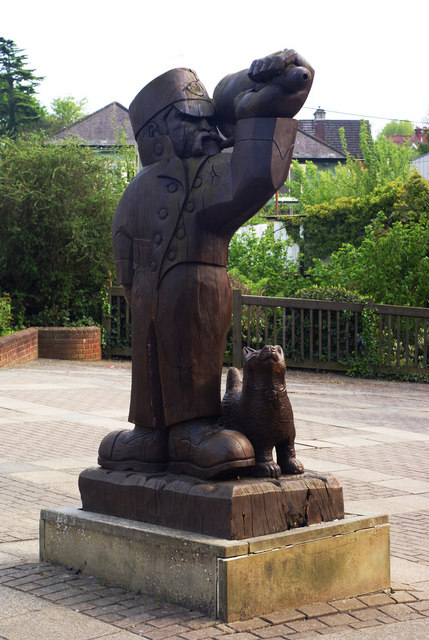
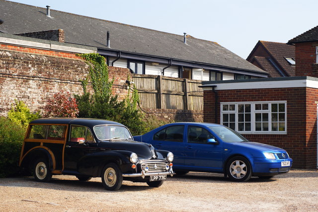
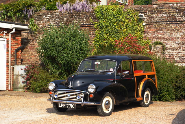
Uckfield Images
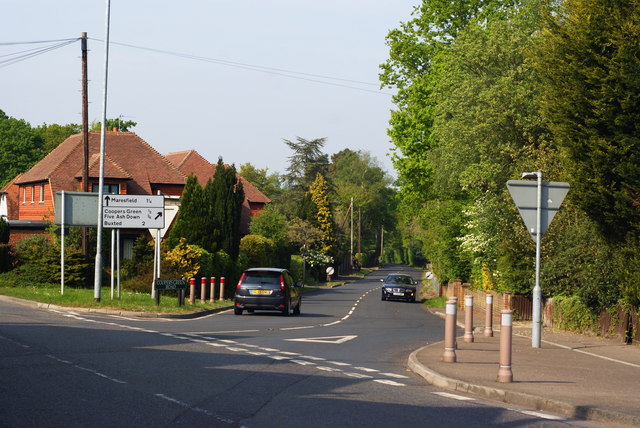
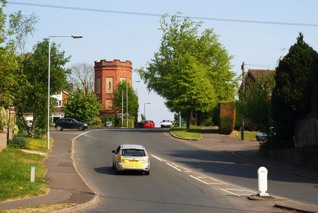
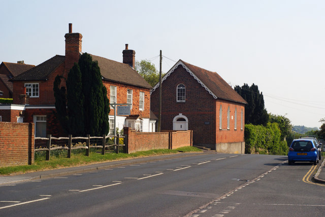
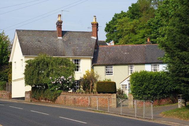
Images are sourced within 2km of 50.969926/0.097683 or Grid Reference TQ4721. Thanks to Geograph Open Source API. All images are credited.


Uckfield is located at Grid Ref: TQ4721 (Lat: 50.969926, Lng: 0.097683)
Administrative County: East Sussex
District: Wealden
Police Authority: Sussex
What 3 Words
///messaging.trusts.departure. Near Uckfield, East Sussex
Nearby Locations
Related Wikis

Hempstead Meadow
Hempstead Meadow is a 1.6-hectare (4.0-acre) Local Nature Reserve in Uckfield in East Sussex. It is owned and managed by Uckfield Town Council. The site...

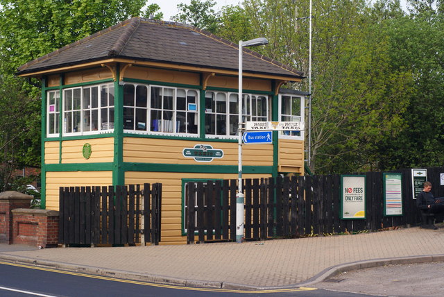
Uckfield railway station
Uckfield railway station is the southern terminus of a branch of the Oxted Line in England, serving the town of Uckfield, East Sussex. It is 46 miles 8...

Uckfield
Uckfield () is a town in the Wealden District of East Sussex in South East England. The town is on the River Uck, one of the tributaries of the River Ouse...

Copping Hall
Copping Hall is a Grade II* listed house in Uckfield, East Sussex, England. It is located at 1 Pudding Cake Lane, Uckfield, East Sussex TN22 1BT. Built...
Nearby Amenities
Located within 500m of 50.969926,0.097683Have you been to Uckfield?
Leave your review of Uckfield below (or comments, questions and feedback).