Tydd St Mary
Civil Parish in Lincolnshire South Holland
England
Tydd St Mary

Tydd St Mary is a civil parish located in the South Holland district of Lincolnshire, England. It is situated approximately 7 miles east of Spalding and 13 miles west of King's Lynn, making it conveniently accessible to both towns. The parish is bordered by the River Nene to the north and the River Welland to the south, which adds to its picturesque setting.
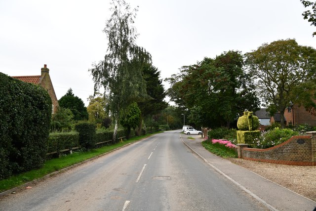
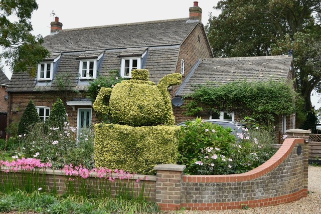
The village has a population of around 1,000 people and boasts a rich history dating back to the medieval period. It is known for its charming, traditional English countryside, with rolling fields, meadows, and farmlands surrounding the village.
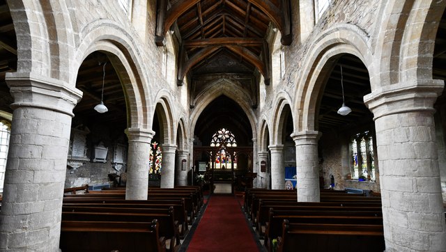
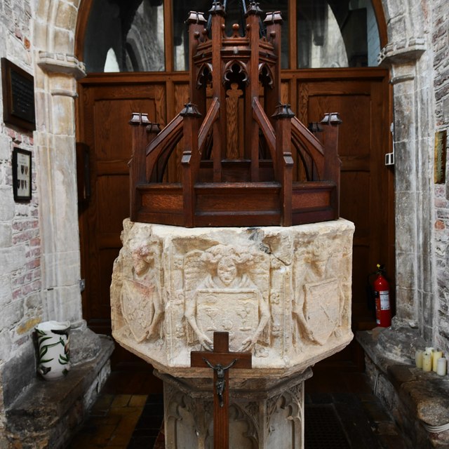
Tydd St Mary is home to a few notable landmarks, including the Grade I listed St Mary's Church, which dates back to the 13th century. The church features stunning architectural details and serves as a focal point for the community.
The village has a thriving community spirit, with various social and recreational activities available for residents. These include a village hall, a recreational ground, and a popular pub. The community also organizes events throughout the year, such as fairs and festivals, promoting a sense of togetherness and belonging.
In terms of amenities, Tydd St Mary has a primary school, providing education for local children. The village is also well-connected with nearby towns and cities through road and public transport links, making it an ideal location for commuting.
Overall, Tydd St Mary offers a peaceful and idyllic living environment, combining rural charm with modern conveniences, making it an attractive place to reside for both families and individuals seeking a close-knit community.
If you have any feedback on the listing, please let us know in the comments section below.
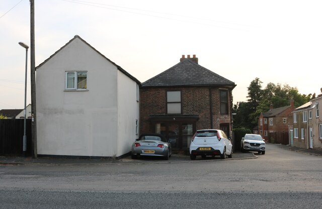
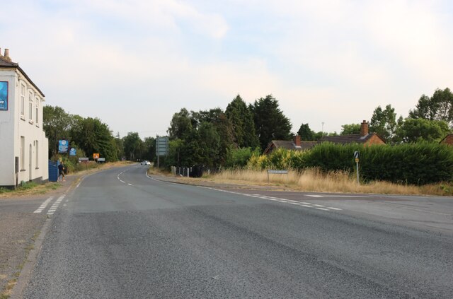
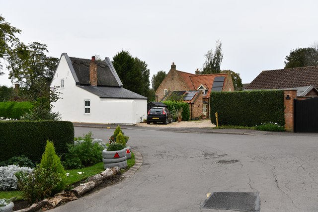
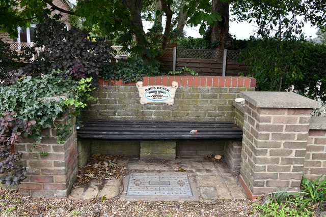
Tydd St Mary Images
Images are sourced within 2km of 52.74757/0.132376 or Grid Reference TF4418. Thanks to Geograph Open Source API. All images are credited.


Tydd St Mary is located at Grid Ref: TF4418 (Lat: 52.74757, Lng: 0.132376)
Administrative County: Lincolnshire
District: South Holland
Police Authority: Lincolnshire
What 3 Words
///puppy.glory.broadcast. Near Sutton Bridge, Lincolnshire
Nearby Locations
Related Wikis

Tydd St Mary
Tydd St Mary is a village and civil parish in the South Holland district of Lincolnshire, England, about 9 miles (14 km) east of the town of Spalding and...

Tydd Gote
Tydd Gote is an English village, partly, at the north, in the civil parish of Tydd St Mary of the South Holland District of Lincolnshire, and partly, at...

Four Gotes
Four Gotes is a hamlet in the civil parish of Tydd St Giles in Cambridgeshire, England. The population is included in the civil parish of Leverington....
Tydd railway station
Tydd railway station was a station, opened by the Peterborough, Wisbech and Sutton Bridge Railway on 1 August 1866, in Lincolnshire serving the villages...
Tydd St Giles
Tydd St Giles is a village in Fenland, Cambridgeshire, England. It is the northernmost village in the Isle of Ely, Cambridgeshire (bordering Lincolnshire...

Low Fulney
Low Fulney is a hamlet in the South Holland district of Lincolnshire, England. It is in the Spalding St. Paul's ward of the South Holland District Council...

Little Sutton, Lincolnshire
Little Sutton is a small civil parish, containing a few farms and a few houses, lying between the much larger parishes of Long Sutton and Sutton Bridge...
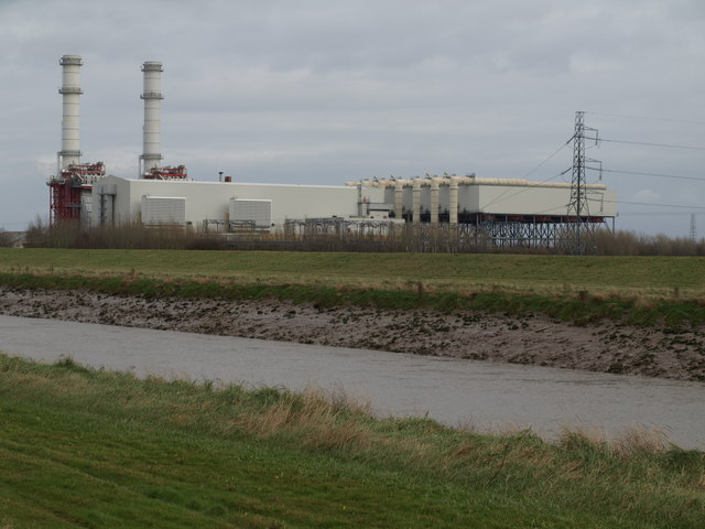
Sutton Bridge Power Station
Sutton Bridge Power Station is an 819 MW gas-fired power station in Sutton Bridge in the south-east of Lincolnshire in South Holland, England. It is situated...
Nearby Amenities
Located within 500m of 52.74757,0.132376Have you been to Tydd St Mary?
Leave your review of Tydd St Mary below (or comments, questions and feedback).