Old Field
Downs, Moorland in Lincolnshire South Holland
England
Old Field

Old Field is a small village located in the county of Lincolnshire, England. Situated in the eastern part of the country, the village is known for its picturesque surroundings, including downs and moorland. With a population of around 500 inhabitants, Old Field offers a tranquil and serene atmosphere.
The village is characterized by its rolling downs, which provide stunning views of the surrounding countryside. These downs are covered in lush green grass and are often grazed by sheep, adding to the idyllic charm of the area. The moorland in Old Field is another prominent feature, offering a diverse landscape with heather, gorse, and various species of wildlife.
Old Field is a rural community with a rich history. The village dates back to the medieval era and is home to several historic buildings, including a 12th-century church and a manor house that dates back to the 16th century. These architectural gems contribute to the village's unique character and attract visitors interested in exploring its heritage.
The village is well-connected to neighboring towns and cities, making it an attractive place to live for those seeking a peaceful lifestyle. Despite its small size, Old Field has a strong sense of community, with local events and gatherings bringing residents together throughout the year.
In conclusion, Old Field in Lincolnshire is a charming village known for its downs and moorland. With its rich history, beautiful landscapes, and strong community spirit, it offers a tranquil and idyllic setting for residents and visitors alike.
If you have any feedback on the listing, please let us know in the comments section below.
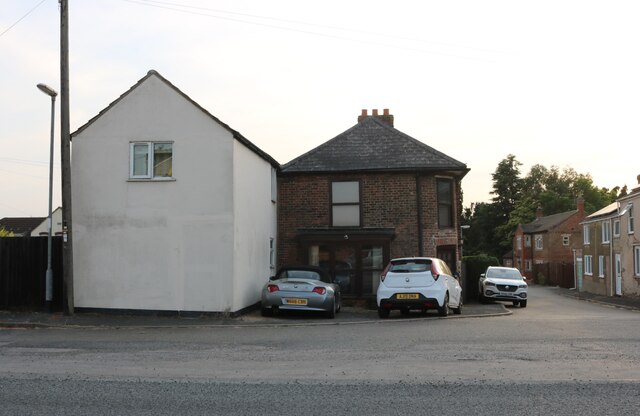
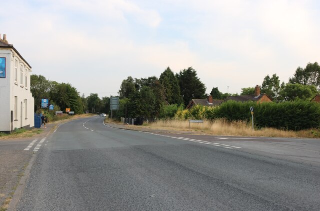
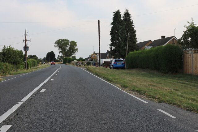
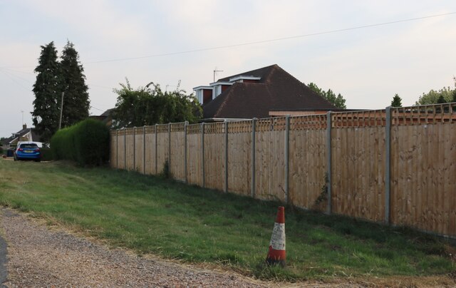
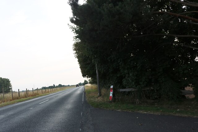
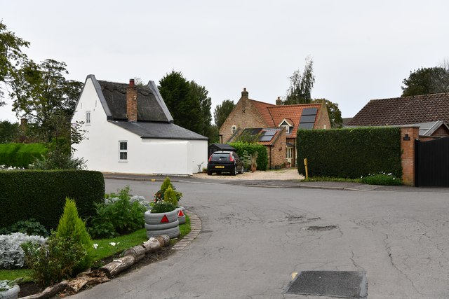
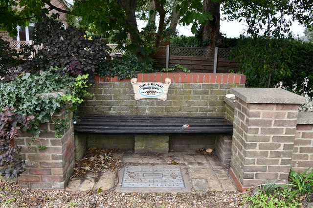
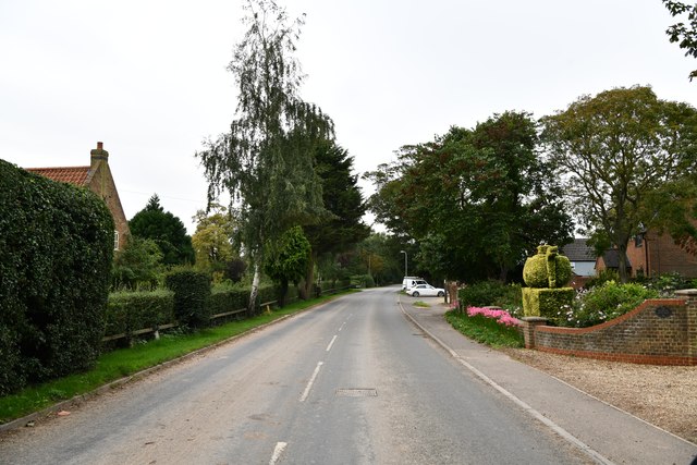
Old Field Images
Images are sourced within 2km of 52.742591/0.14328404 or Grid Reference TF4418. Thanks to Geograph Open Source API. All images are credited.


Old Field is located at Grid Ref: TF4418 (Lat: 52.742591, Lng: 0.14328404)
Administrative County: Lincolnshire
District: South Holland
Police Authority: Lincolnshire
What 3 Words
///dance.cabs.landings. Near Sutton Bridge, Lincolnshire
Nearby Locations
Related Wikis

Tydd St Mary
Tydd St Mary is a village and civil parish in the South Holland district of Lincolnshire, England, about 9 miles (14 km) east of the town of Spalding and...

Tydd Gote
Tydd Gote is an English village, partly, at the north, in the civil parish of Tydd St Mary of the South Holland District of Lincolnshire, and partly, at...

Four Gotes
Four Gotes is a hamlet in the civil parish of Tydd St Giles in Cambridgeshire, England. The population is included in the civil parish of Leverington....
Tydd railway station
Tydd railway station was a station, opened by the Peterborough, Wisbech and Sutton Bridge Railway on 1 August 1866, in Lincolnshire serving the villages...
Tydd St Giles
Tydd St Giles is a village in Fenland, Cambridgeshire, England. It is the northernmost village in the Isle of Ely, Cambridgeshire (bordering Lincolnshire...
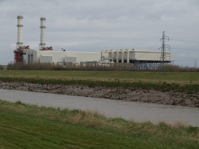
Sutton Bridge Power Station
Sutton Bridge Power Station is an 819 MW gas-fired power station in Sutton Bridge in the south-east of Lincolnshire in South Holland, England. It is situated...

Newton-in-the-Isle
Newton-in-the-Isle is a village and civil parish in the Fenland District of the Isle of Ely, Cambridgeshire, England, The village is 4 miles (6 km) to...
RAF Sutton Bridge
Royal Air Force Sutton Bridge or more simply RAF Sutton Bridge is a former Royal Air Force station found next to the village of Sutton Bridge in the south...
Nearby Amenities
Located within 500m of 52.742591,0.14328404Have you been to Old Field?
Leave your review of Old Field below (or comments, questions and feedback).