Tockholes
Civil Parish in Lancashire
England
Tockholes
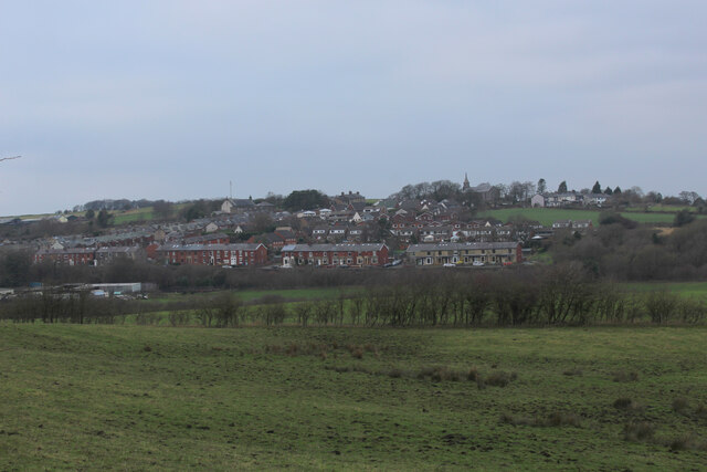
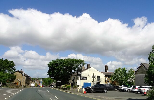
Tockholes is a civil parish located in the county of Lancashire, England. Situated in the Borough of Blackburn with Darwen, it is nestled within the West Pennine Moors, approximately 7 miles northeast of Blackburn and 20 miles northwest of Manchester. The parish covers an area of around 3.6 square miles and has a population of approximately 500 people.
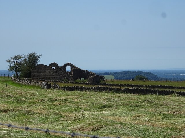
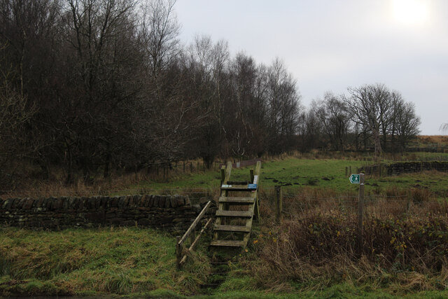
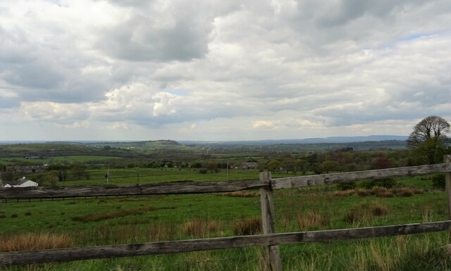
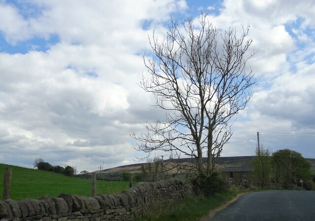
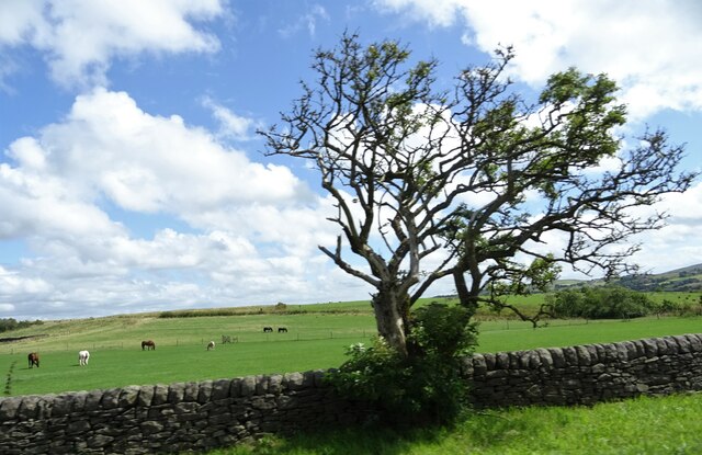
Tockholes is known for its scenic beauty and rural charm, making it a popular destination for outdoor enthusiasts and nature lovers. The area is characterized by rolling hills, woodlands, and picturesque reservoirs, offering ample opportunities for hiking, cycling, and birdwatching. The local countryside is dotted with stone-built farms and cottages, giving the area a quaint and timeless feel.
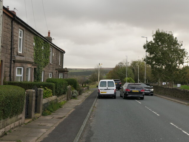
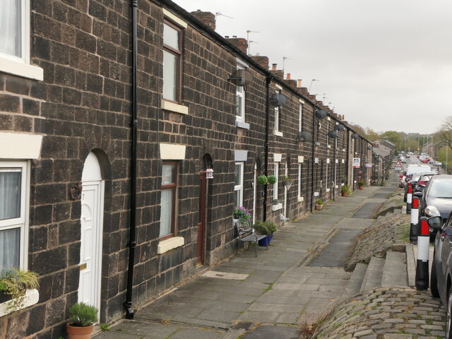
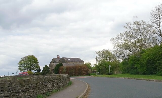
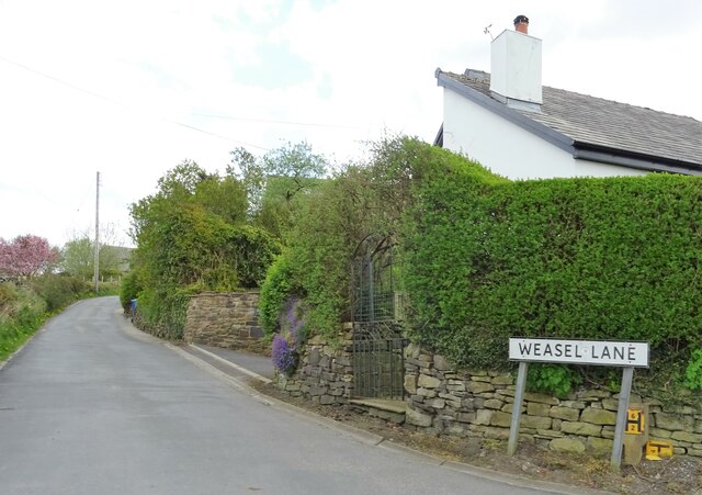
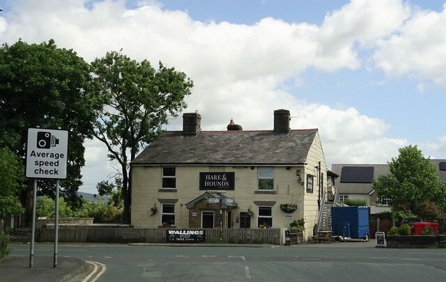
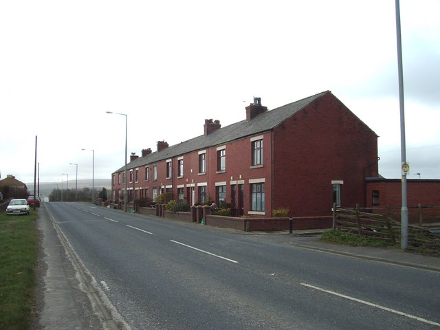
The village itself is small but vibrant, with a tight-knit community and a strong sense of local pride. It features a village hall, a local pub, and a primary school, providing essential amenities for its residents. Tockholes is also home to St. Stephen's Church, a historic place of worship dating back to the 19th century.
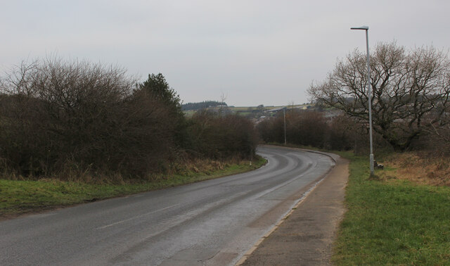
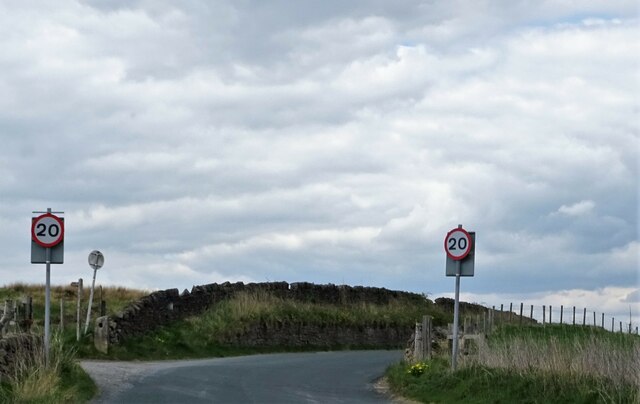
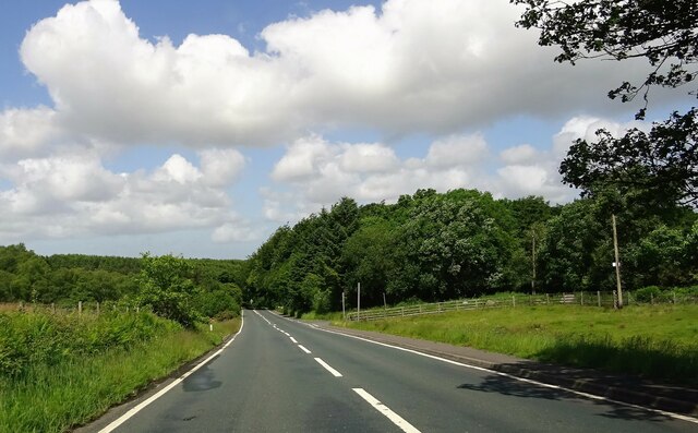
Despite its rural setting, Tockholes enjoys good transport links, with major roads like the A675 passing through the parish. This allows easy access to nearby towns and cities, making it an attractive place to live for those seeking a peaceful countryside lifestyle while still being within reach of urban amenities.
Overall, Tockholes offers a tranquil and idyllic living environment, rich in natural beauty and community spirit, making it a cherished part of Lancashire's landscape.
If you have any feedback on the listing, please let us know in the comments section below.
Tockholes Images
Images are sourced within 2km of 53.704646/-2.529969 or Grid Reference SD6523. Thanks to Geograph Open Source API. All images are credited.


Tockholes is located at Grid Ref: SD6523 (Lat: 53.704646, Lng: -2.529969)
Unitary Authority: Blackburn with Darwen
Police Authority: Lancashire
What 3 Words
///crispier.cutback.thirsty. Near Brinscall, Lancashire
Nearby Locations
Related Wikis

Abbey Village Reservoir
The reservoir north of Abbey Village on the River Roddlesworth - known as Close House Reservoir - is the latest addition to the reservoirs around this...

Lower Roddlesworth Reservoir
Lower Roddlesworth Reservoir is a reservoir on the River Roddlesworth close to Abbey Village in Lancashire, England. The reservoir is close to Upper Roddlesworth...
Abbey Village
Abbey Village is a village in the English county of Lancashire and the constituency of Chorley. It is located on the A675 road, six miles (10 km) from...

Rake Brook Reservoir
Rake Brook Reservoir is a reservoir fed by two streams, including the eponymous Rake Brook, a tributary of the River Roddlesworth in Lancashire, England...
Nearby Amenities
Located within 500m of 53.704646,-2.529969Have you been to Tockholes?
Leave your review of Tockholes below (or comments, questions and feedback).