Heald Wood

Wood, Forest in Lancashire

England

Heald Wood

Abbey Mill Former cotton mill located in Abbey Village near Blackburn, now split up into individual industrial units
Abbey Mill Credit: Chris Heaton

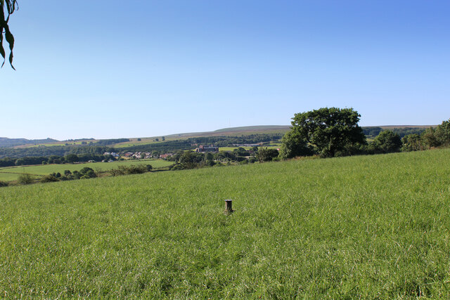
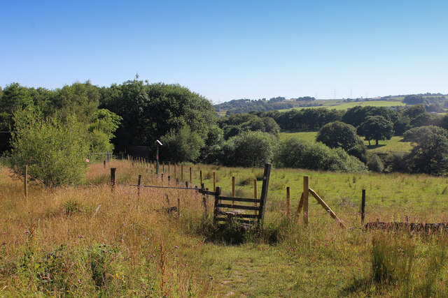
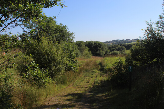
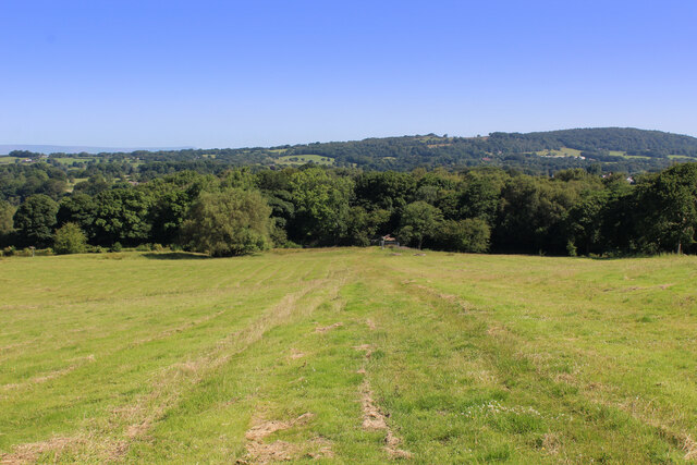
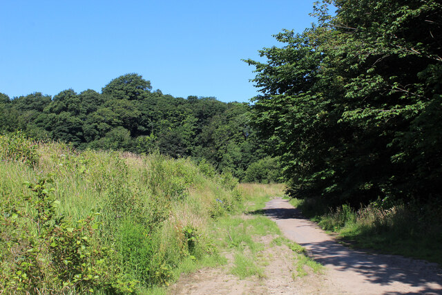
Heald Wood is a picturesque forest located in the county of Lancashire, in the northwest of England. Spread across an area of approximately 100 acres, this woodland is known for its rich biodiversity and natural beauty. It is situated near the village of Heald and is easily accessible by a network of footpaths and trails.

The wood is predominantly composed of native broadleaf trees, including oak, birch, beech, and ash, which form a dense canopy that provides shelter and habitat for a variety of wildlife species. The forest floor is covered in a carpet of bluebells, wild garlic, and ferns, adding to the enchanting atmosphere of the woodland.

Heald Wood is a popular destination for nature enthusiasts and birdwatchers, as it is home to a diverse range of bird species, such as woodpeckers, owls, and various songbirds. Additionally, visitors may also encounter mammals like deer, foxes, and squirrels during their explorations.

The wood offers a tranquil and peaceful environment, attracting visitors who seek respite from the hustle and bustle of urban life. It is a perfect spot for leisurely walks, picnics, and nature photography. The forest is well-maintained by local authorities, ensuring that it remains a pristine and welcoming destination for both locals and tourists alike.

Overall, Heald Wood is a natural gem in Lancashire, providing a haven for flora and fauna and offering a serene escape for those who appreciate the beauty of the great outdoors.

If you have any feedback on the listing, please let us know in the comments section below.
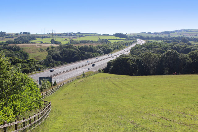
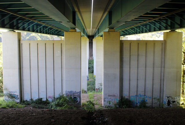
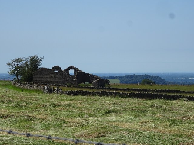
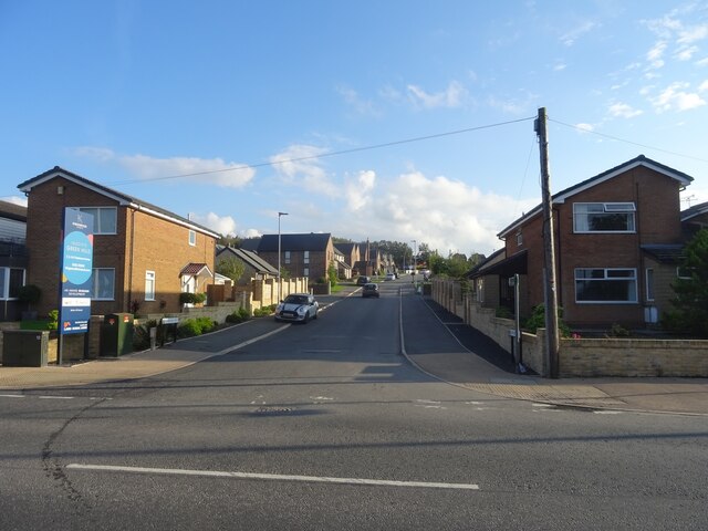
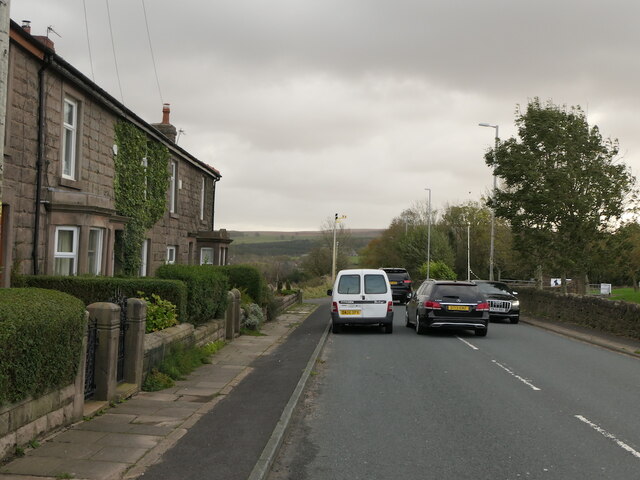
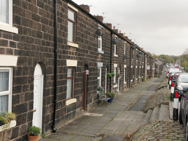
Heald Wood Images

Images are sourced within 2km of 53.709216/-2.5237388 or Grid Reference SD6523. Thanks to Geograph Open Source API. All images are credited.

Abbey Mill Former cotton mill located in Abbey Village near Blackburn, now split up into individual industrial units
Abbey Mill
Former cotton mill located in Abbey Village near Blackburn, now split up into individual industrial units
Terraced Houses in Abbey Village Long lines of terraced houses run along both sides of Bolton Road in the linear community of Abbey Village.
Terraced Houses in Abbey Village
Long lines of terraced houses run along both sides of Bolton Road in the linear community of Abbey Village.
East View Terrace on Bolton Road Terraced housing on the A675 between Abbey Village and the M65.
East View Terrace on Bolton Road
Terraced housing on the A675 between Abbey Village and the M65.
Access Lane leading up to the A675 at Edge End Farm
Looking South over Countryside from near Edge End Farm Looking towards Abbey Village.
Looking South over Countryside from near Edge End Farm
Looking towards Abbey Village.
Stile and Footpath above the Stanworth Valley About to enter some woods that shades the River Roddlesworth in the Stanworth Valley
Stile and Footpath above the Stanworth Valley
About to enter some woods that shades the River Roddlesworth in the Stanworth Valley
Footpath heading towards the Stanworth Valley
Ascending towards Stanworth Farm Climbing through this pasture towards the farm, with the M65 as a companion - just out of shot to the right.
This shows the view in the opposite direction <a href="https://www.geograph.org.uk/photo/6904525">SM8602 : Pele Tower</a>
Ascending towards Stanworth Farm
Climbing through this pasture towards the farm, with the M65 as a companion - just out of shot to the right. This shows the view in the opposite direction SM8602 : Pele Tower
M65 crossing the Stanworth Valley The motorway crossing above the wooded trench, which conceals the River Roddlesworth - on the Stanworth Valley Viaduct.
This shows the view in the opposite direction <a href="https://www.geograph.org.uk/photo/6904510">SD6424 : Ascending towards Stanworth Farm</a>
M65 crossing the Stanworth Valley
The motorway crossing above the wooded trench, which conceals the River Roddlesworth - on the Stanworth Valley Viaduct. This shows the view in the opposite direction SD6424 : Ascending towards Stanworth Farm
Under the M65 Concrete supports that carry the M65 over the wooded valley that conceals the River Roddlesworth from view - otherwise known as the Stanworth Valley Viaduct.
The Witton Weavers Way long distance footpath also passes under this structure.
Under the M65
Concrete supports that carry the M65 over the wooded valley that conceals the River Roddlesworth from view - otherwise known as the Stanworth Valley Viaduct. The Witton Weavers Way long distance footpath also passes under this structure.
Witton Weavers Way descending towards Stanworth Bridge Descending through pasture towards the Leeds and Liverpool Canal, by the edge of the woods
Witton Weavers Way descending towards Stanworth Bridge
Descending through pasture towards the Leeds and Liverpool Canal, by the edge of the woods
Beside a Patch of Woodland above Stanworth Farm The reservoir indicated by the fingerpost is on the other side of the motorway.
Beside a Patch of Woodland above Stanworth Farm
The reservoir indicated by the fingerpost is on the other side of the motorway.
Access Lane from Stanworth Farm Shows section of the access lane leading towards the A675
Access Lane from Stanworth Farm
Shows section of the access lane leading towards the A675
The Witton Weavers Way crosses Waste Ground near Feniscowles A 32 mile circular long distance footpath starting and finishing in Witton Country Park to the west of Blackburn. The route explores weavers cottages, ancient halls, country estates and historic villages.
Within the circuit, there are 4 shorter walks with the unusual titles of Beamers, Reelers, Tacklers and Warpers.
The Witton Weavers Way crosses Waste Ground near Feniscowles
A 32 mile circular long distance footpath starting and finishing in Witton Country Park to the west of Blackburn. The route explores weavers cottages, ancient halls, country estates and historic villages. Within the circuit, there are 4 shorter walks with the unusual titles of Beamers, Reelers, Tacklers and Warpers.
Green Hill The ruins of Green Hill, a former farm in the Ryal Fold area of Tockholes.
Green Hill
The ruins of Green Hill, a former farm in the Ryal Fold area of Tockholes.
Moorland Drive, Green Hills, Livesey Looking up Moorland Drive, entrance to the recently-built Green Hills estate.
Moorland Drive, Green Hills, Livesey
Looking up Moorland Drive, entrance to the recently-built Green Hills estate.
A675, Edge End
A675, Edge End
Gritstone terrace, Abbey Village
Show me another place!

Heald Wood is located at Grid Ref: SD6523 (Lat: 53.709216, Lng: -2.5237388)

Unitary Authority: Blackburn with Darwen

Police Authority: Lancashire

What 3 Words

///teach.oasis.sheets. Near Brinscall, Lancashire

Related Wikis

Tockholes

Tockholes is a village and civil parish which forms part of the Blackburn with Darwen unitary authority in the English county of Lancashire, England. Tockholes...

Abbey Village Reservoir

The reservoir north of Abbey Village on the River Roddlesworth - known as Close House Reservoir - is the latest addition to the reservoirs around this...

Livesey

Livesey is a civil parish in the unitary borough of Blackburn with Darwen, in the ceremonial county of Lancashire, England. The population of the civil...

Lower Roddlesworth Reservoir

Lower Roddlesworth Reservoir is a reservoir on the River Roddlesworth close to Abbey Village in Lancashire, England. The reservoir is close to Upper Roddlesworth...

Feniscowles railway station

Feniscowles railway station was a railway station that served the village of Feniscowles, in Blackburn with Darwen in Lancashire, England. == History... ==

Abbey Village

Abbey Village is a village in the English county of Lancashire and the constituency of Chorley. It is located on the A675 road, six miles (10 km) from...

Rake Brook Reservoir

Rake Brook Reservoir is a reservoir fed by two streams, including the eponymous Rake Brook, a tributary of the River Roddlesworth in Lancashire, England...

Upper Roddlesworth Reservoir

Upper Roddlesworth Reservoir is a reservoir on the River Roddlesworth near Abbey Village in Lancashire, England. The reservoir is close to Lower Roddlesworth...

Nearby Amenities

Located within 500m of 53.709216,-2.5237388
Barrier: stile
Foot: yes
Lat/Long: 53.7093333/-2.5161976
Barrier: stile
Foot: yes
Lat/Long: 53.7108641/-2.5213885
Barrier: stile
Foot: yes
Lat/Long: 53.7095571/-2.5185474
Barrier: stile
Foot: yes
Lat/Long: 53.7125303/-2.5238004
Barrier: stile
Foot: yes
Lat/Long: 53.7127436/-2.5272078
Barrier: stile
Foot: yes
Lat/Long: 53.7113561/-2.5221283
Barrier: stile
Foot: yes
Lat/Long: 53.7085502/-2.5174705
Heald Wood
Natural: wood
Lat/Long: 53.7080729/-2.5219201
The data included in this document is from www.openstreetmap.org. The data is made available under ODbL.

Have you been to Heald Wood?

Leave your review of Heald Wood below (or comments, questions and feedback).