Buchanan Smithy

Settlement in Stirlingshire

Scotland

Buchanan Smithy

Track through Garadhban Forest Looking north-westward, This section of track is used by the West Highland Way Path.
Track through Garadhban Forest Credit: Peter Wood

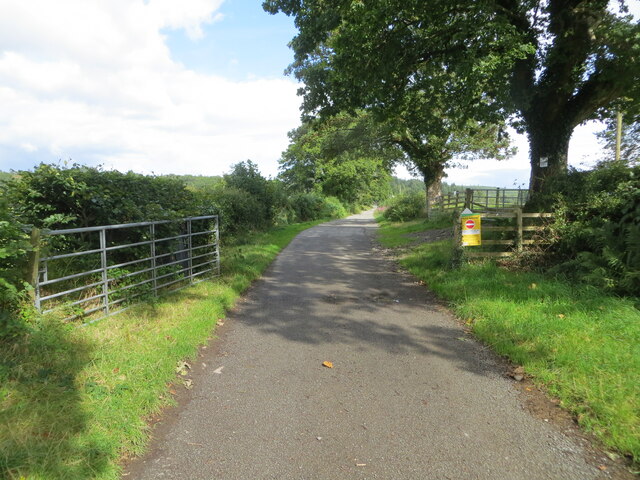
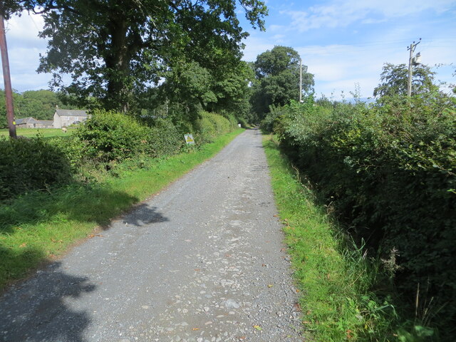
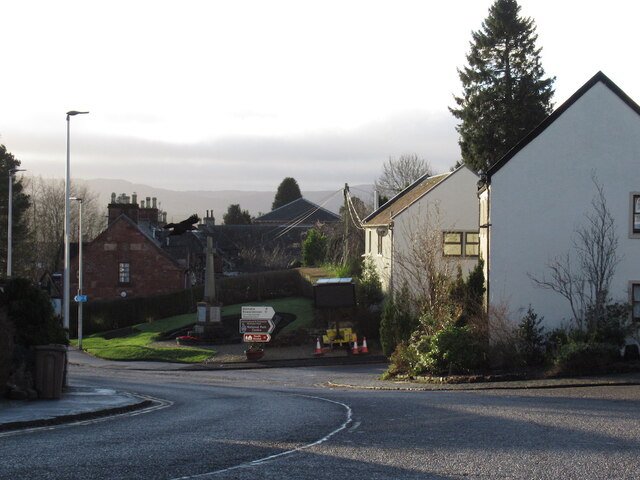
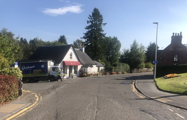
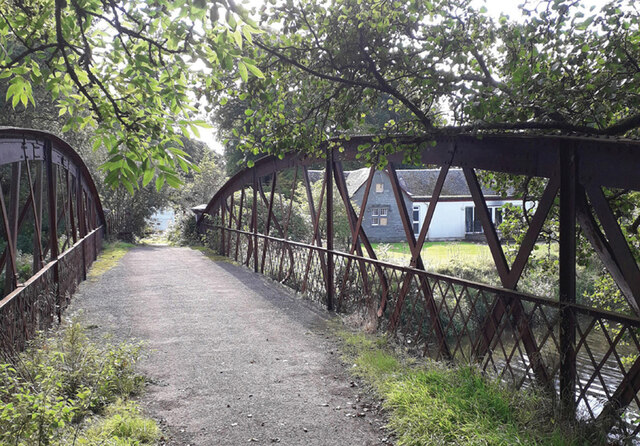
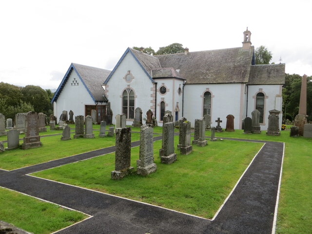
Buchanan Smithy is a small village located in the Stirlingshire region of Scotland. Situated near the eastern bank of the River Endrick, the village is nestled amidst picturesque landscapes, surrounded by rolling hills and lush greenery. It is part of the larger Buchanan Estate, which covers a significant area of the region.

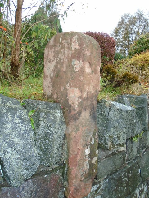
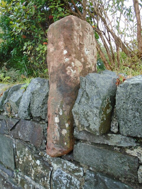
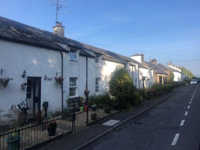
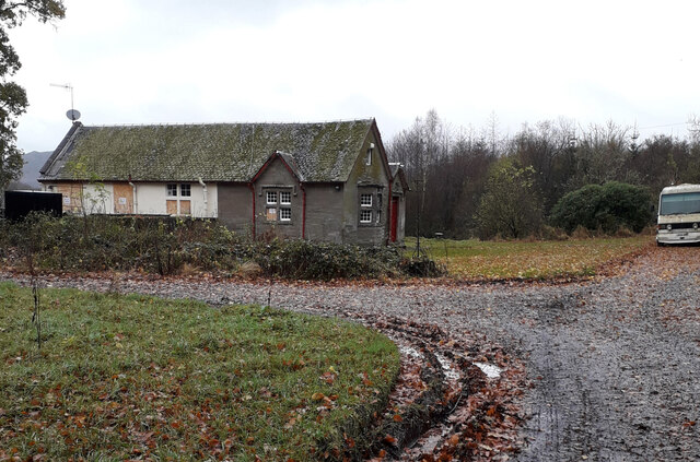
The village itself is characterized by its quaint charm and historic significance. It takes its name from the former blacksmith's forge that used to operate here, serving the local community and travelers passing through. Although the original forge is no longer in operation, there are still remnants of its existence, adding to the area's historical appeal.

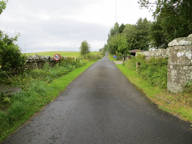
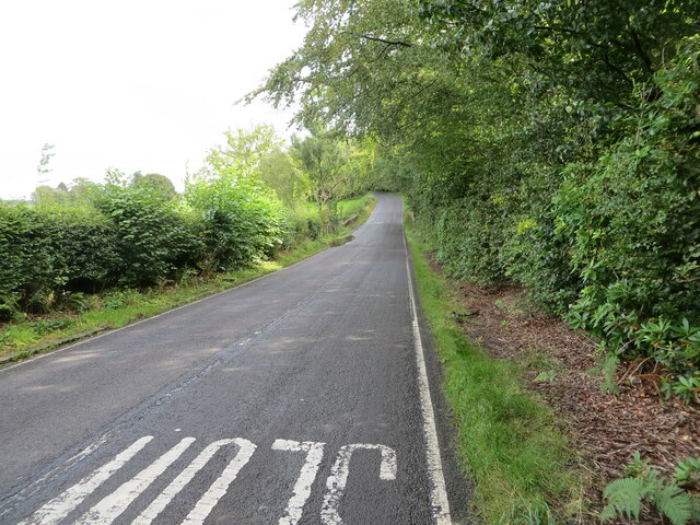
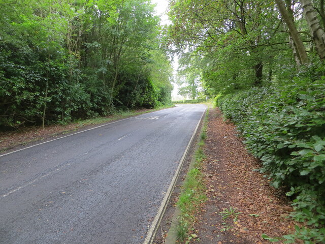
Buchanan Smithy is primarily a residential area, with a small population that enjoys a peaceful and close-knit community. The village offers a serene and idyllic lifestyle, away from the hustle and bustle of larger towns and cities. Its rural setting provides ample opportunities for outdoor activities such as hiking, cycling, and fishing, as well as a chance to appreciate the natural beauty of the Scottish countryside.

Despite its small size, Buchanan Smithy benefits from its proximity to nearby towns and cities, with Stirling located approximately 12 miles to the east and Glasgow about 25 miles to the south. This allows residents to access a range of amenities, including schools, shops, and healthcare facilities, while still enjoying the tranquility of village life.

In summary, Buchanan Smithy is a charming and historic village situated in the heart of Stirlingshire. With its scenic surroundings and close community, it offers an appealing rural lifestyle while remaining well-connected to nearby urban centers.

If you have any feedback on the listing, please let us know in the comments section below.

Buchanan Smithy Images

Images are sourced within 2km of 56.073199/-4.469311 or Grid Reference NS4689. Thanks to Geograph Open Source API. All images are credited.

Track through Garadhban Forest Looking north-westward, This section of track is used by the West Highland Way Path.
Track through Garadhban Forest
Looking north-westward, This section of track is used by the West Highland Way Path.
Creityhall Road leaving Milton of Buchanan Looking north-eastward. This section of road is used by the West Highland Way Path.
Creityhall Road leaving Milton of Buchanan
Looking north-eastward. This section of road is used by the West Highland Way Path.
Creityhall Road (track) approaching Creityhall Looking north-eastward. This section of track is used by the West Highland Way Path.
Creityhall Road (track) approaching Creityhall
Looking north-eastward. This section of track is used by the West Highland Way Path.
Minor road near Drymen
Old milestone This shows the left side of the red sandstone milestone in the wall opposite the Buchanan Arms in Drymen.  A very worn 22 can just be made out which is the mileage to Stirling.  It is marked on the 1776 Taylor & Skinner map 1776 and is on the route of the Old Military Road built by Major William Caufeild 1765-97
Old milestone
This shows the left side of the red sandstone milestone in the wall opposite the Buchanan Arms in Drymen. A very worn 22 can just be made out which is the mileage to Stirling. It is marked on the 1776 Taylor & Skinner map 1776 and is on the route of the Old Military Road built by Major William Caufeild 1765-97
Old milestone This shows the right face of the red sandstone milestone in the wall opposite the Buchanan Arms in Drymen. A faint 12 can be made out which is the distance to Dumbarton.  There is a similar stone on the A811 in West Dunbartonshire at <a href="https://www.geograph.org.uk/gridref/NS+4148+8525">NS 4148 8525</a>.
Old milestone
This shows the right face of the red sandstone milestone in the wall opposite the Buchanan Arms in Drymen. A faint 12 can be made out which is the distance to Dumbarton. There is a similar stone on the A811 in West Dunbartonshire at NS 4148 8525.
Drymen View south towards the Balmaha turning where there is a big variable message sign with a couple of the usual parkspeak hectoring messages referring to parking responsibly and generally not trashing the place.
Drymen
View south towards the Balmaha turning where there is a big variable message sign with a couple of the usual parkspeak hectoring messages referring to parking responsibly and generally not trashing the place.
Cafe, Drymen Once a bike shop.
Cafe, Drymen
Once a bike shop.
Birchwood, Doghouse Glen
The Village Hub, Drymen Village shop selling local produce and zero-waste products
The Village Hub, Drymen
Village shop selling local produce and zero-waste products
A row of terraced cottages Between Drymen and Milton of Buchanan
A row of terraced cottages
Between Drymen and Milton of Buchanan
The Winnock Hotel, Drymen
Truss Bridge over River Endrick Metal truss bridge over the River Endrick. 
September 2022 gates were open and bridge looked safe for pedestrians.
Part of the South Drive of the Buchanan Estate.
Private bridge built by Duke of Montrose, shown on OS Map Stirlingshire Sheet XX. Survey Date 1861. Adjacent to and north of Woodend Lodge which appears in the background.
Truss Bridge over River Endrick
Metal truss bridge over the River Endrick. September 2022 gates were open and bridge looked safe for pedestrians. Part of the South Drive of the Buchanan Estate. Private bridge built by Duke of Montrose, shown on OS Map Stirlingshire Sheet XX. Survey Date 1861. Adjacent to and north of Woodend Lodge which appears in the background.
Track giving access to Coldrach Looking north-westward.
Track giving access to Coldrach
Looking north-westward.
Drymen Parish Church and part of its Burial Ground Viewed from the north.
Drymen Parish Church and part of its Burial Ground
Viewed from the north.
Road (B837) approaching Buchanan Smithy Looking south-eastward.
Road (B837) approaching Buchanan Smithy
Looking south-eastward.
Road (B837) enclosed by woodland near to Whinnydram Looking north-westward.
Road (B837) enclosed by woodland near to Whinnydram
Looking north-westward.
Woodend Lodge This Lodge is positioned on South Avenue on the bank of the River Endrick at the south side of the metal truss bridge. Several windows have been boarded up; it is no longer occupied, but not yet derelict.
A derelict white van is permanently parked on South Avenue and performs the useful task of preventing four wheeled vehicles from attempting to cross the ageing bridge.
Woodend Lodge
This Lodge is positioned on South Avenue on the bank of the River Endrick at the south side of the metal truss bridge. Several windows have been boarded up; it is no longer occupied, but not yet derelict. A derelict white van is permanently parked on South Avenue and performs the useful task of preventing four wheeled vehicles from attempting to cross the ageing bridge.
Show me another place!

Buchanan Smithy is located at Grid Ref: NS4689 (Lat: 56.073199, Lng: -4.469311)

Unitary Authority: Stirling

Police Authority: Forth Valley

What 3 Words

///sensitive.bets.vast. Near Killearn, Stirling

Related Wikis

Buchanan Smithy

Buchanan Smithy is a hamlet in Buchanan in the far west of Stirling, Scotland. The current settlement was mostly purpose-built in the 18th century for...

Buchanan Castle

Buchanan Castle is a ruined castle in Stirlingshire, Scotland, located 1 mile (1.6 km) west of the village of Drymen. The house was commissioned by the...

Buchanan Auld House

Buchanan Auld House (or Buchanan Old House) is a ruined house in Stirlingshire, Scotland, located 1.5 miles (2.4 km) west of the village of Drymen. Historic...
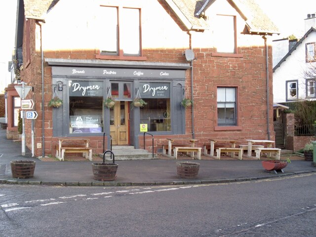
Drymen

Drymen (; from Scottish Gaelic: Druiminn [ˈt̪ɾɯmɪɲ]) is a village in the Stirling district of central Scotland. Once a popular stopping place for cattle...

Nearby Amenities

Located within 500m of 56.073199,-4.469311
Buchanan Smithy
Alt Name: Buchanan Smiddy
Is In: Stirlingshire, Scotland, UK
Place: hamlet
Source: NPE
Wikidata: Q4982587
Wikipedia: en:Buchanan Smithy
Lat/Long: 56.0735856/-4.4691715
Post Box
Collection Times: Mo-Fr 12:15; Sa 12:00
Operator: Royal Mail
Post Box Type: pillar
Ref: G63 941
Royal Cypher: scottish_crown
Lat/Long: 56.0732226/-4.4690202
Power: pole
Lat/Long: 56.0770599/-4.4655242
Power: pole
Lat/Long: 56.0773179/-4.4668294
Power: pole
Lat/Long: 56.0775794/-4.4681179
Power: pole
Lat/Long: 56.0765346/-4.4660199
Power: pole
Lat/Long: 56.0760186/-4.4664968
Power: pole
Lat/Long: 56.0755423/-4.4669445
Power: pole
Lat/Long: 56.0750555/-4.4674193
Power: pole
Lat/Long: 56.0745372/-4.4678983
Power: pole
Lat/Long: 56.0739126/-4.4684882
The data included in this document is from www.openstreetmap.org. The data is made available under ODbL.

Have you been to Buchanan Smithy?

Leave your review of Buchanan Smithy below (or comments, questions and feedback).