Buchan Hill

Settlement in Sussex Horsham

England

Buchan Hill

Bewbush Barn Church An old barn conversion. The barn predates the surrounding housing by several decade. Money was raised by the local church community over several years with the church opening in the late 1990s, and making one of the more interesting parish churches around
Bewbush Barn Church Credit: Michael of Crawley

Buchan Hill is a small village located in the picturesque county of Sussex, in southeastern England. It is nestled amidst the rolling hills and lush green landscape that Sussex is renowned for. The village is situated approximately 10 miles northeast of the county town of Lewes.

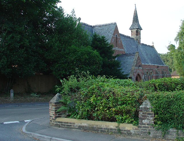
Buchan Hill is a charming and tranquil village, with a population of around 500 residents. It boasts a close-knit community and a strong sense of community spirit. The village is characterized by its traditional architecture, with many of the buildings dating back centuries. The village center is dominated by a quaint village green, surrounded by historic cottages and a few local shops.

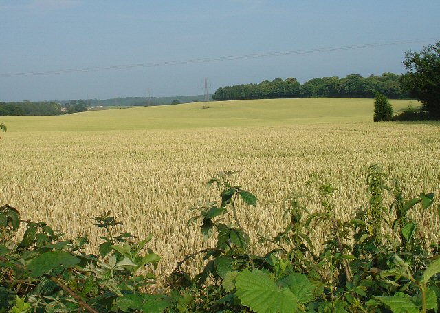
The natural beauty surrounding Buchan Hill is a major attraction for both residents and visitors alike. The village is surrounded by idyllic countryside, offering ample opportunities for leisurely walks and hikes. The nearby South Downs National Park is a popular destination for nature lovers, with its stunning vistas and diverse wildlife.

Despite its rural setting, Buchan Hill is well-connected to neighboring towns and cities. The village is served by regular bus services, providing easy access to nearby amenities and attractions. The bustling town of Lewes is a short drive away, offering a wide range of shops, restaurants, and cultural activities.

In summary, Buchan Hill is a delightful village in Sussex, offering a peaceful escape from the hustle and bustle of city life. Its natural beauty, sense of community, and convenient location make it an attractive place to live or visit.

If you have any feedback on the listing, please let us know in the comments section below.
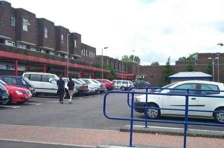
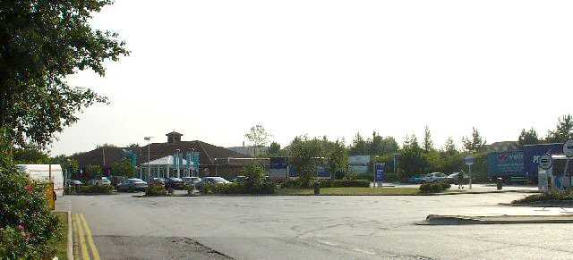
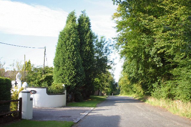
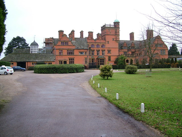
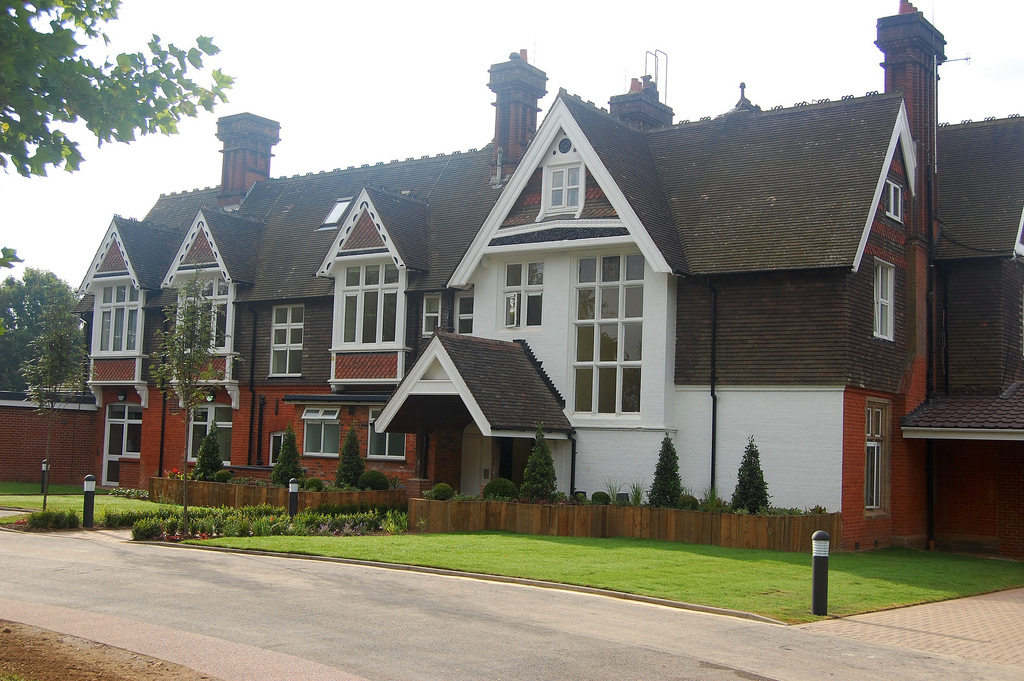
Buchan Hill Images

Images are sourced within 2km of 51.082711/-0.216796 or Grid Reference TQ2533. Thanks to Geograph Open Source API. All images are credited.

Bewbush Barn Church An old barn conversion. The barn predates the surrounding housing by several decade. Money was raised by the local church community over several years with the church opening in the late 1990s, and making one of the more interesting parish churches around
Bewbush Barn Church
An old barn conversion. The barn predates the surrounding housing by several decade. Money was raised by the local church community over several years with the church opening in the late 1990s, and making one of the more interesting parish churches around
Broadfield Barton Local shopping parade for the neighbourhood of Broadfield in South-west Crawley
Broadfield Barton
Local shopping parade for the neighbourhood of Broadfield in South-west Crawley
Pease Pottage Services At the (current) end of the M23, Junction 11. Operated by Moto.
Pease Pottage Services
At the (current) end of the M23, Junction 11. Operated by Moto.
Pease Pottage Radar Station Taking advantage of this relatively high site (140m above sea level), 80m above Gatwick airport, this is an air traffic control radar. Painted white to blend into the sky.
Pease Pottage Radar Station
Taking advantage of this relatively high site (140m above sea level), 80m above Gatwick airport, this is an air traffic control radar. Painted white to blend into the sky.
Telecoms mast, South Lodge, Pease Pottage, West Sussex One of several facilities in the area taking advantage of the relatively high altitude (water tower, radar station, reservoir). Much of the mast is masked by trees (similar to the radar station location) from most angles.
Telecoms mast, South Lodge, Pease Pottage, West Sussex
One of several facilities in the area taking advantage of the relatively high altitude (water tower, radar station, reservoir). Much of the mast is masked by trees (similar to the radar station location) from most angles.
Corn Fields, Pease Pottage A very summery rural site. Ripening corn in this large field, which covers the N side of this grid square. Much of the rural sussex terrain is patches of trees interspersed by fields of various crops. Tilgate Forest can be seen in the far distance and Bensonshill Wood is on the right. High voltage electricity transmission cross the field (the pylons are just visible). View taken from the old A23 road between Pease Pottage and Handcross, looking E.
Corn Fields, Pease Pottage
A very summery rural site. Ripening corn in this large field, which covers the N side of this grid square. Much of the rural sussex terrain is patches of trees interspersed by fields of various crops. Tilgate Forest can be seen in the far distance and Bensonshill Wood is on the right. High voltage electricity transmission cross the field (the pylons are just visible). View taken from the old A23 road between Pease Pottage and Handcross, looking E.
Arable Fields between Pease Pottage and Colgate, West Sussex A typical corn field to the south of the minor road between Pease Pottage and Colgate. Viewed looking SE.
Arable Fields between Pease Pottage and Colgate, West Sussex
A typical corn field to the south of the minor road between Pease Pottage and Colgate. Viewed looking SE.
St Saviours Church, Colgate, West Sussex Centrally located in the village: almost opposite one of the two main road junctions; and near to the village hall. Brick built with a slate roof.
St Saviours Church, Colgate, West Sussex
Centrally located in the village: almost opposite one of the two main road junctions; and near to the village hall. Brick built with a slate roof.
Bridleway through Holmbush Forest, near Colgate, West Sussex This bridleway runs through Holmbush forest from Colgate to the main road between Crawley and Horsham (A264).
Bridleway through Holmbush Forest, near Colgate, West Sussex
This bridleway runs through Holmbush forest from Colgate to the main road between Crawley and Horsham (A264).
Golf Course at Cottesmore Golf and Country Club This golf course spreads over much of this grid square and into TQ2533. This view is from a public footpath, looking east. The large radar scanner of the Pease Pottage Radar station can be seen above the trees in the distance.
Golf Course at Cottesmore Golf and Country Club
This golf course spreads over much of this grid square and into TQ2533. This view is from a public footpath, looking east. The large radar scanner of the Pease Pottage Radar station can be seen above the trees in the distance.
Cottesmore School, Buchan Hill, near Pease Pottage, West Sussex A full boarding co-educational prep school (the only one in the UK - according to their website <span class="nowrap"><a title="http://www.cottesmoreschool.com" rel="nofollow ugc noopener" href="http://www.cottesmoreschool.com">Link</a><img style="margin-left:2px;" alt="External link" title="External link - shift click to open in new window" src="https://s1.geograph.org.uk/img/external.png" width="10" height="10"/></span> ). A couple of sand traps of the Cottesmore Country Club golf course can also be seen.
Cottesmore School, Buchan Hill, near Pease Pottage, West Sussex
A full boarding co-educational prep school (the only one in the UK - according to their website LinkExternal link ). A couple of sand traps of the Cottesmore Country Club golf course can also be seen.
Bridleway through Cottesmore Country Club and School. The sign indicates a bend in the route of the bridleway that cuts through the country club and school grounds between Pease Pottage and the Broadfield neighbourhood of Crawley. At this point the public right of way is following the drive to the school. Behind the sign can be seen the flag of one of the golf greens.
Bridleway through Cottesmore Country Club and School.
The sign indicates a bend in the route of the bridleway that cuts through the country club and school grounds between Pease Pottage and the Broadfield neighbourhood of Crawley. At this point the public right of way is following the drive to the school. Behind the sign can be seen the flag of one of the golf greens.
Cottesmore Golf and Country Club - Golfer Taking a Swing The view is of a golfer on the fairway taking a swing at his ball.
Cottesmore Golf and Country Club - Golfer Taking a Swing
The view is of a golfer on the fairway taking a swing at his ball.
Roundabout on B2114 (with access from A23) between Pease Pottage and Handcross The B2114 follows the old route of the A23. This roundabout facilitates access from the southbound carriageway of the A23 dual carriageway to the road leading to Handcross from the north. There is no vehicular access to the A23 from here.
Roundabout on B2114 (with access from A23) between Pease Pottage and Handcross
The B2114 follows the old route of the A23. This roundabout facilitates access from the southbound carriageway of the A23 dual carriageway to the road leading to Handcross from the north. There is no vehicular access to the A23 from here.
Reclaimed A23 carriageway, between Pease Pottage and Handcross, West Sussex. This was the S bound carriageway of the A23 trunk road before a bypass was built for Handcross Primary School (and other properties to the N of the village). The original road was reverted to single carriageway (along the old N bound lane) and reclassified as B2115. The unrequired carriageway was broken up and reclaimed by bramble, hawthorn, and other native invasive flora.
Reclaimed A23 carriageway, between Pease Pottage and Handcross, West Sussex.
This was the S bound carriageway of the A23 trunk road before a bypass was built for Handcross Primary School (and other properties to the N of the village). The original road was reverted to single carriageway (along the old N bound lane) and reclassified as B2115. The unrequired carriageway was broken up and reclaimed by bramble, hawthorn, and other native invasive flora.
The old Brighton Road at Pease Pottage Now replaced by the M23, this section of the old A23 is a cul-de-sac.
The old Brighton Road at Pease Pottage
Now replaced by the M23, this section of the old A23 is a cul-de-sac.
Bridleway near junction of Grouse Lane and Blackhouse Road, Colgate, West Sussex View taken looking SSE. This bridleway leads to Newstead Farm (approx 1200m).
Bridleway near junction of Grouse Lane and Blackhouse Road, Colgate, West Sussex
View taken looking SSE. This bridleway leads to Newstead Farm (approx 1200m).
Junction of Grouse Road and Woodland Lane, Near Colgate, West Sussex Woodland Lane is a narrow metalled no through private road. A Post box is situated at the junction  to serve the needs of around a dozen dwellings along Woodland Lane.
Junction of Grouse Road and Woodland Lane, Near Colgate, West Sussex
Woodland Lane is a narrow metalled no through private road. A Post box is situated at the junction to serve the needs of around a dozen dwellings along Woodland Lane.
Show me another place!

Buchan Hill is located at Grid Ref: TQ2533 (Lat: 51.082711, Lng: -0.216796)

Administrative County: West Sussex

District: Horsham

Police Authority: Sussex

What 3 Words

///stops.giant.romantics. Near Broadfield, West Sussex

Related Wikis

Cottesmore School

Cottesmore is a boarding preparatory school in the United Kingdom, founded in 1894. == History == Cottesmore was founded by Geoffrey Davison Brown in 1894...

Pease Pottage

Pease Pottage is a village in the Mid Sussex District of West Sussex, England. It lies on the southern edge of the Crawley built-up area, in the civil...

Cedars (immigration detention)

Cedars was an immigration detention facility in Crawley, West Sussex, United Kingdom adjacent to Gatwick Airport. It was operated by UK Visas and Immigration...

Pease Pottage MSA

Pease Pottage services is a motorway service station at Junction 11 of the M23 motorway near Crawley. It is owned by Moto. == Facilities == Facilities...

Nearby Amenities

Located within 500m of 51.082711,-0.216796
Horsham Corner
Place: locality
Lat/Long: 51.083956/-0.2104768
Traffic Calming: rumble_strip
Lat/Long: 51.0815764/-0.2134747
Man Made: mast
Tower Type: communication
Lat/Long: 51.0809572/-0.2127739
The data included in this document is from www.openstreetmap.org. The data is made available under ODbL.

Have you been to Buchan Hill?

Leave your review of Buchan Hill below (or comments, questions and feedback).