Thurston
Civil Parish in Suffolk Mid Suffolk
England
Thurston
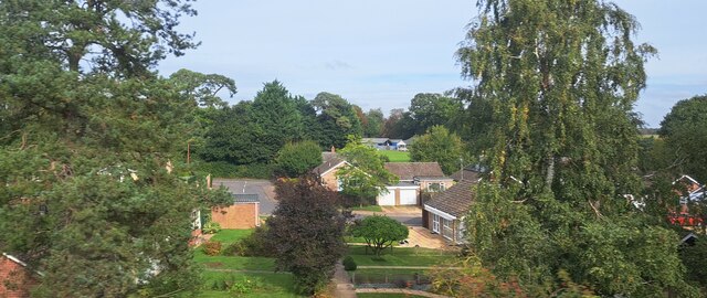
Thurston is a civil parish located in the county of Suffolk, England. It is situated about six miles east of the town of Bury St Edmunds and covers an area of approximately 13 square miles. The parish is surrounded by picturesque countryside and is home to a population of around 2,500 residents.
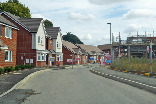
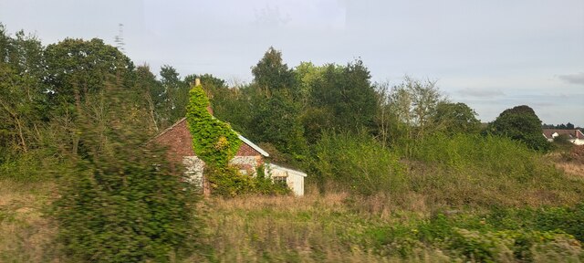
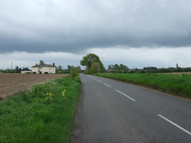
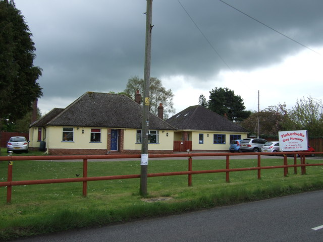
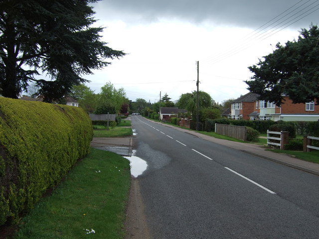
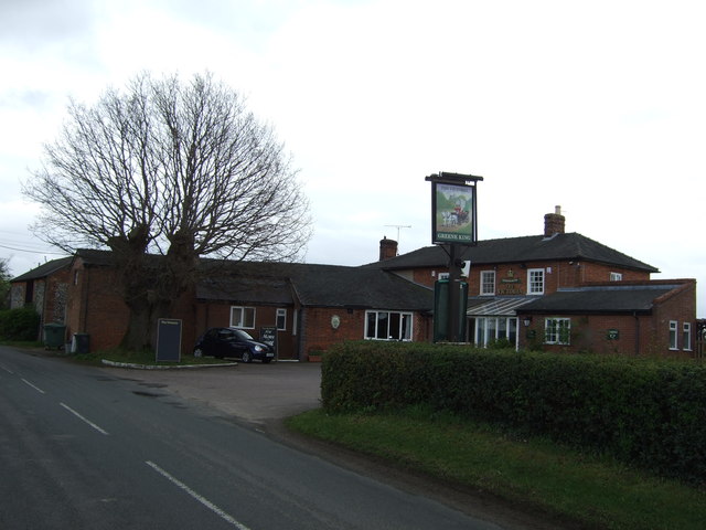
The village of Thurston is the main settlement within the parish and has a rich history dating back to the medieval period. It is known for its charming thatched cottages, historic buildings, and a 14th-century church dedicated to St Peter. The village also has a primary school, a village hall, a post office, and several local shops and amenities, making it a self-contained community.
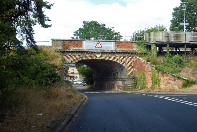
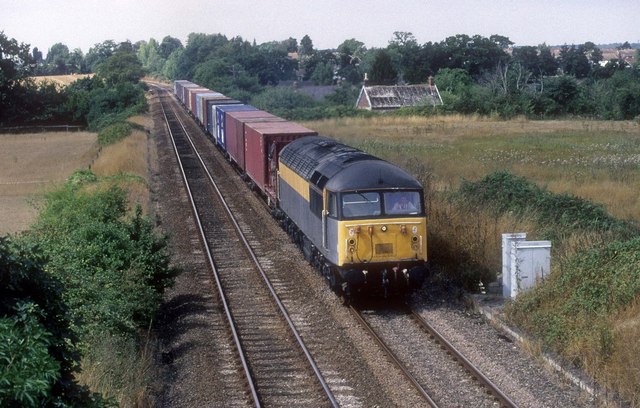
Thurston is well-connected to other parts of Suffolk and beyond. The A14 road runs nearby, providing easy access to major towns and cities including Ipswich and Cambridge. The village also has a railway station, offering regular services to destinations such as Bury St Edmunds, Ipswich, and London.
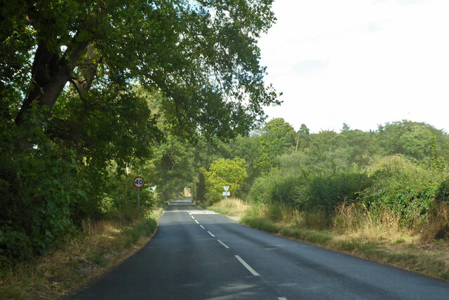
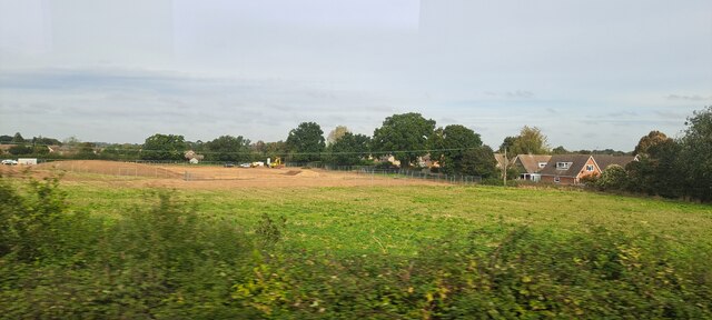
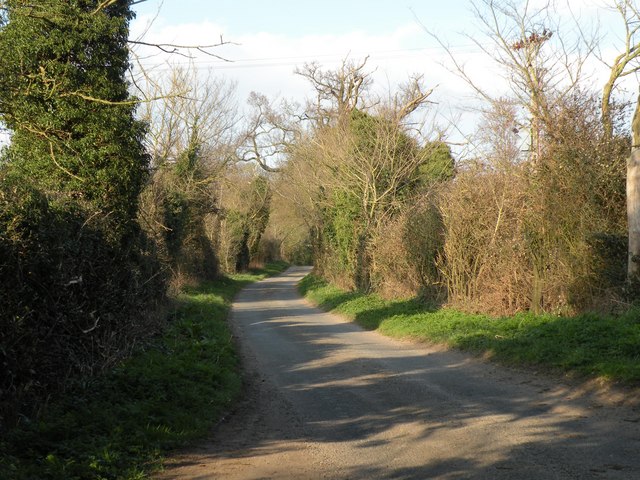
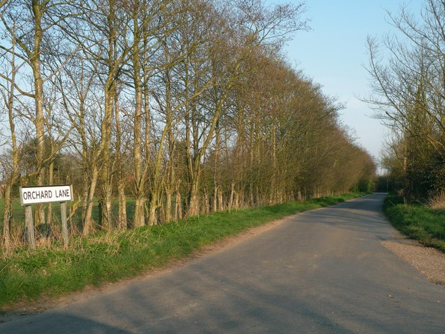
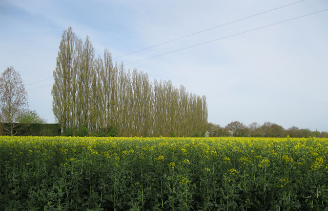
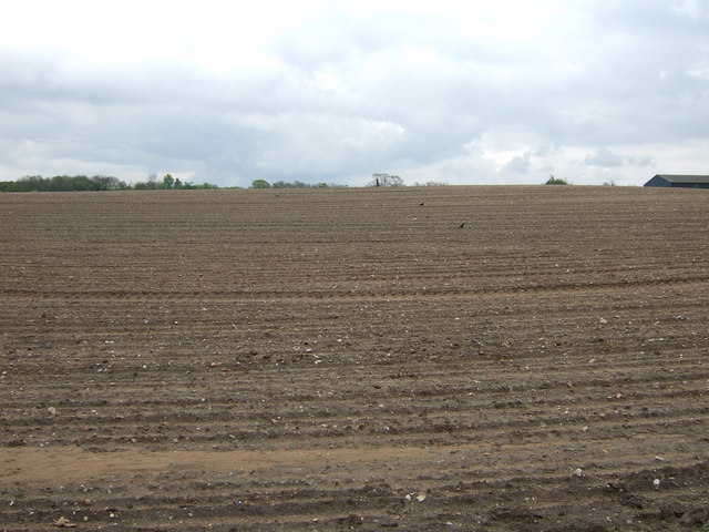
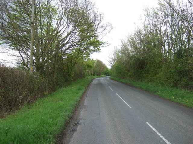
The parish of Thurston is surrounded by beautiful countryside, making it an ideal location for outdoor activities such as walking, cycling, and horse riding. It is also close to popular tourist attractions, including the historic market town of Bury St Edmunds, the stunning Thetford Forest, and the picturesque villages of Lavenham and Long Melford.
Overall, Thurston, Suffolk is a charming and well-connected civil parish with a rich history, scenic surroundings, and a strong sense of community.
If you have any feedback on the listing, please let us know in the comments section below.
Thurston Images
Images are sourced within 2km of 52.253199/0.826353 or Grid Reference TL9365. Thanks to Geograph Open Source API. All images are credited.
Thurston is located at Grid Ref: TL9365 (Lat: 52.253199, Lng: 0.826353)
Administrative County: Suffolk
District: Mid Suffolk
Police Authority: Suffolk
What 3 Words
///publisher.gradually.baffle. Near Thurston, Suffolk
Nearby Locations
Related Wikis

Thurston, Suffolk
Thurston is a village and a parish in Suffolk situated about 4 miles (6 km) east of Bury St Edmunds and 10 miles (16 km) west of Stowmarket. In mid-2005...

Black Bourn Valley
Black Bourn Valley, formerly called Grove Farm, is an 88 hectare nature reserve between Thurston and Elmswell in Suffolk. It is managed by the Suffolk...

Thurston Community College
Thurston Community College is a co-educational secondary school and sixth form located in Thurston, Suffolk, England. As of 2018, it has 1,733 students...
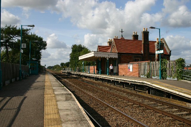
Thurston railway station
Thurston railway station serves the village of Thurston in Suffolk, England. The station, and all trains serving it, are operated by Greater Anglia. It...

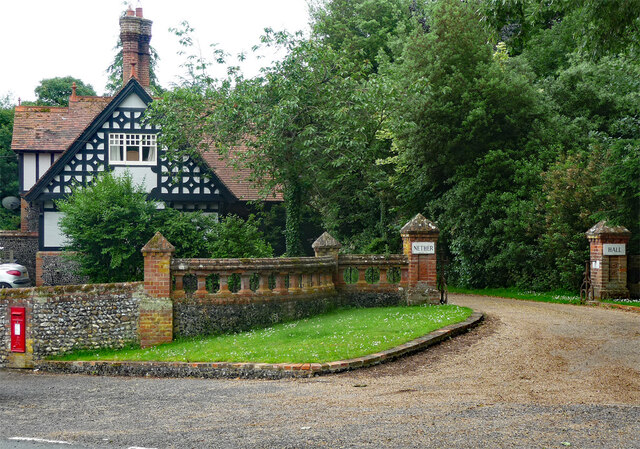
Nether Hall, Suffolk
Nether Hall is a country house situated in the village of Pakenham, Suffolk. It was one of the ancient manors of the village and seat of the Greene baronets...

Newe House
Newe House is a Grade II* listed Jacobean dower house in the village of Pakenham, Suffolk.Newe House was built in 1622 by Sir Robert Bright and today the...

Pakenham, Suffolk
Pakenham is a village and civil parish in the West Suffolk district of Suffolk in eastern England. Its name can be linked to Anglo-Saxon roots, Pacca being...

Beyton
Beyton is a village and civil parish in the Mid Suffolk district of the English county of Suffolk. The village is around 8 miles (13 km) east of Bury St...
Nearby Amenities
Located within 500m of 52.253199,0.826353Have you been to Thurston?
Leave your review of Thurston below (or comments, questions and feedback).