Great Green
Settlement in Suffolk Mid Suffolk
England
Great Green

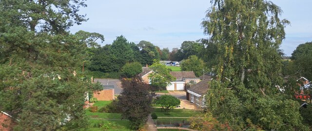
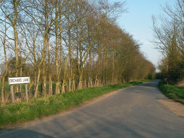
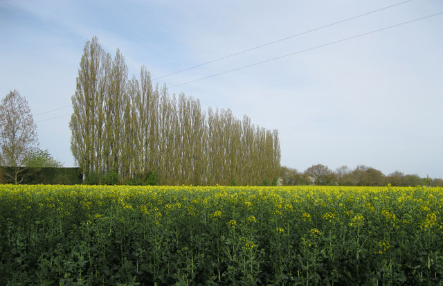
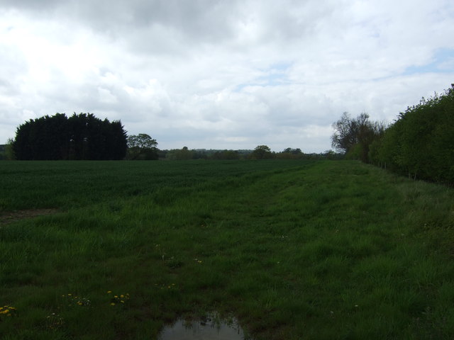
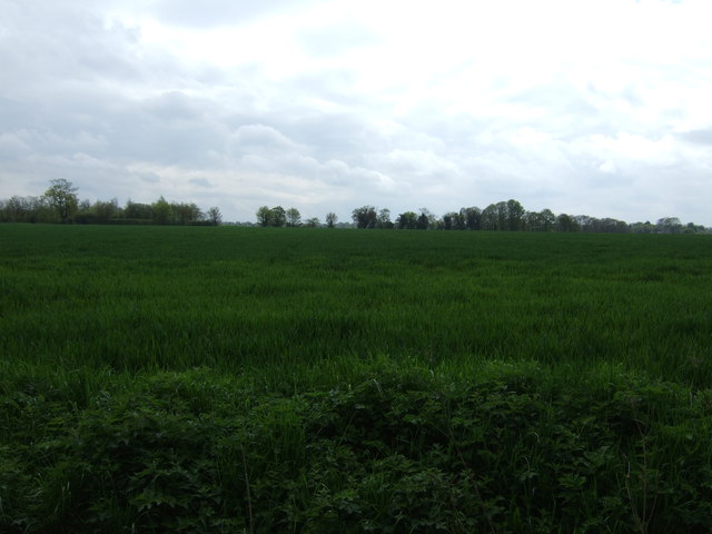
Great Green is a small village located in the county of Suffolk, England. Situated in the East Anglia region, it lies approximately 6 miles north of the town of Ipswich. The village is nestled in a picturesque rural setting, surrounded by beautiful countryside and farmland.
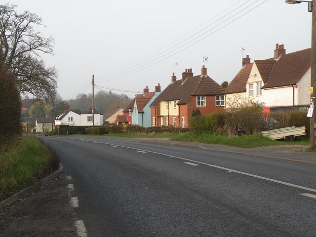
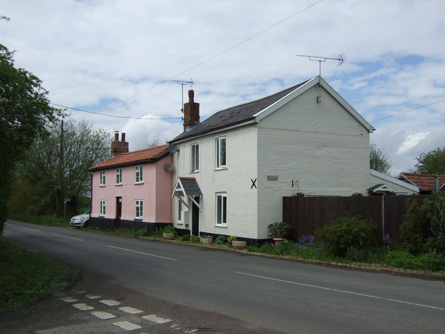
Great Green is a close-knit community with a population of around 300 residents. The village is characterized by its charming traditional cottages and quaint streets, which give it a timeless and idyllic feel. It offers a peaceful and tranquil environment, making it an attractive place to live for those seeking a quieter lifestyle away from the hustle and bustle of larger towns and cities.
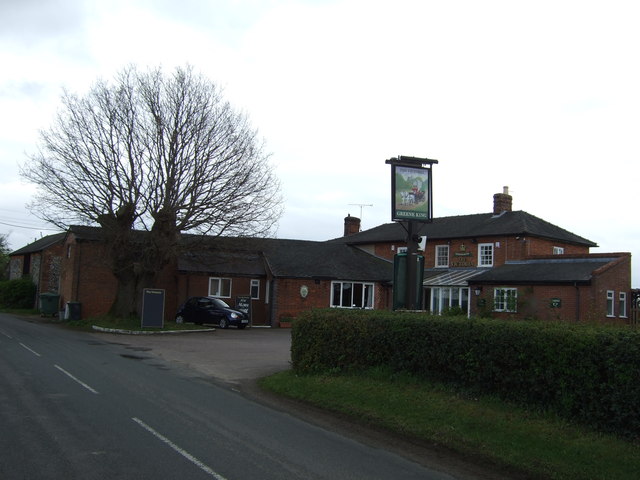
Although small in size, Great Green benefits from a range of amenities that cater to the needs of its residents. These include a village hall, a primary school, and a local pub, where villagers can socialize and relax. The village also has a well-maintained park and green spaces, providing opportunities for outdoor activities and recreation.
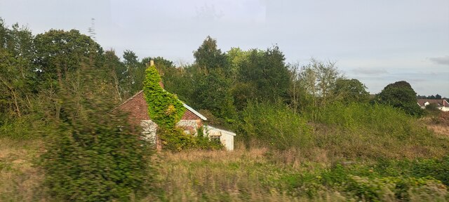
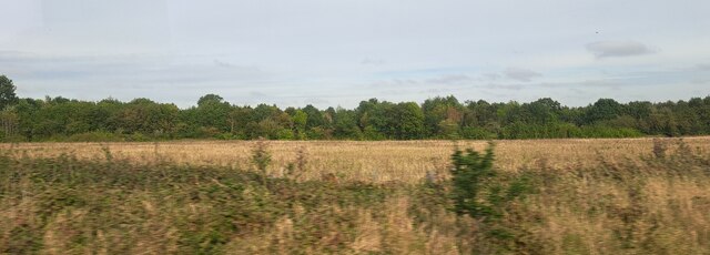
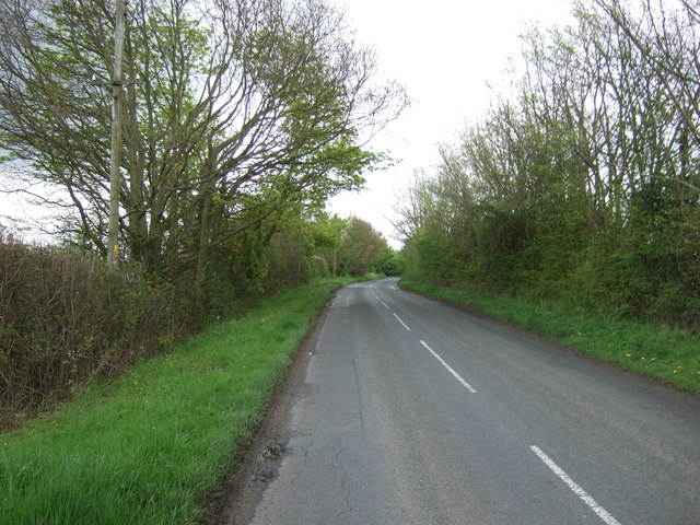
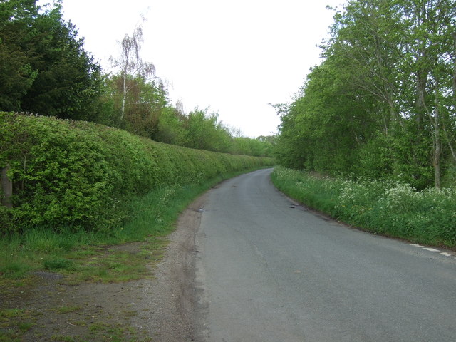
The surrounding countryside offers ample opportunities for nature lovers and outdoor enthusiasts. There are several walking and cycling routes that showcase the area's natural beauty, including nearby forests, fields, and picturesque landscapes. The village also benefits from its proximity to the Suffolk coast, where residents can enjoy scenic coastal walks and explore the charming seaside towns.
Overall, Great Green is a charming and peaceful village that offers a close-knit community and a tranquil lifestyle in the heart of the Suffolk countryside.
If you have any feedback on the listing, please let us know in the comments section below.
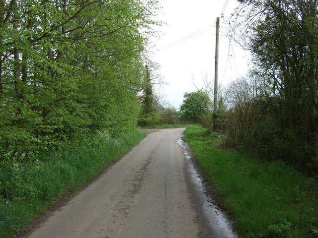
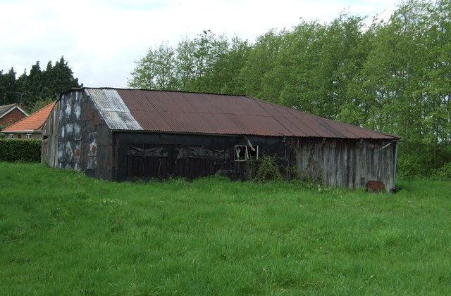
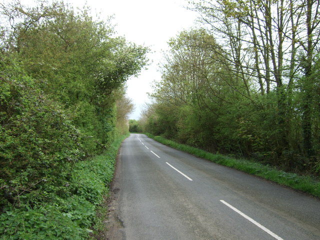
Great Green Images
Images are sourced within 2km of 52.256834/0.83843761 or Grid Reference TL9365. Thanks to Geograph Open Source API. All images are credited.

Great Green is located at Grid Ref: TL9365 (Lat: 52.256834, Lng: 0.83843761)
Administrative County: Suffolk
District: Mid Suffolk
Police Authority: Suffolk
What 3 Words
///stooping.expansion.edgy. Near Thurston, Suffolk
Nearby Locations
Related Wikis

Black Bourn Valley
Black Bourn Valley, formerly called Grove Farm, is an 88 hectare nature reserve between Thurston and Elmswell in Suffolk. It is managed by the Suffolk...

Thurston, Suffolk
Thurston is a village and a parish in Suffolk situated about 4 miles (6 km) east of Bury St Edmunds and 10 miles (16 km) west of Stowmarket. In mid-2005...

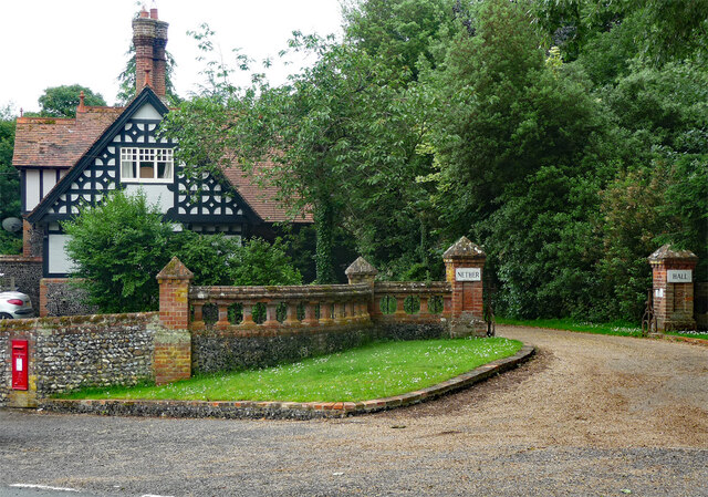
Nether Hall, Suffolk
Nether Hall is a country house situated in the village of Pakenham, Suffolk. It was one of the ancient manors of the village and seat of the Greene baronets...

Newe House
Newe House is a Grade II* listed Jacobean dower house in the village of Pakenham, Suffolk.Newe House was built in 1622 by Sir Robert Bright and today the...

Thurston Community College
Thurston Community College is a co-educational secondary school and sixth form located in Thurston, Suffolk, England. As of 2018, it has 1,733 students...

Pakenham, Suffolk
Pakenham is a village and civil parish in the West Suffolk district of Suffolk in eastern England. Its name can be linked to Anglo-Saxon roots, Pacca being...

Norton, Suffolk
Norton is a village and civil parish in the Mid Suffolk district of the English county of Suffolk. The name Norton means northern town or farm. Located...
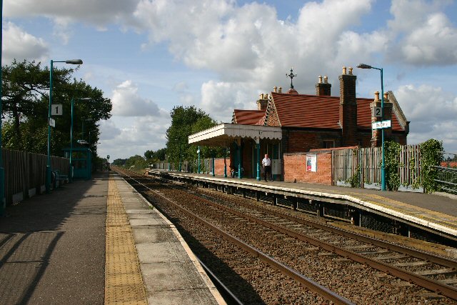
Thurston railway station
Thurston railway station serves the village of Thurston in Suffolk, England. The station, and all trains serving it, are operated by Greater Anglia. It...
Nearby Amenities
Located within 500m of 52.256834,0.83843761Have you been to Great Green?
Leave your review of Great Green below (or comments, questions and feedback).