Thorner
Civil Parish in Yorkshire Leeds
England
Thorner
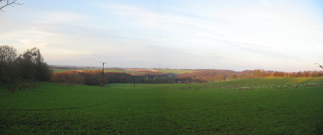
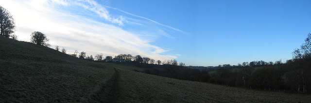
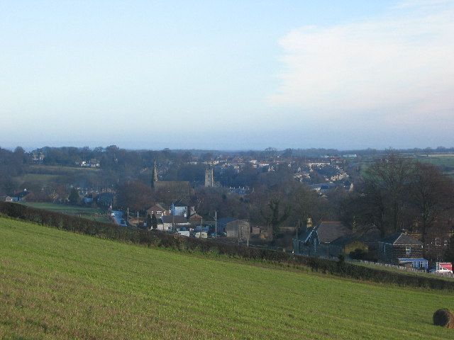
Thorner is a civil parish located in the county of Yorkshire, England. Situated approximately eight miles northeast of Leeds, it is a picturesque village with a rich history and a close-knit community. The parish covers an area of around 2,200 acres and is surrounded by beautiful countryside.
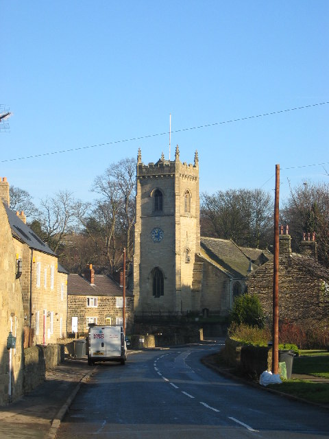
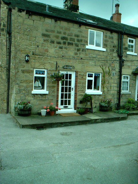
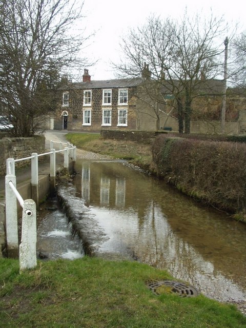
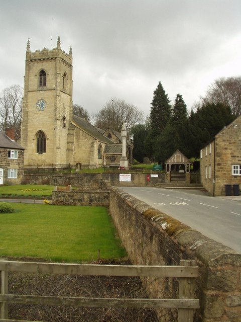
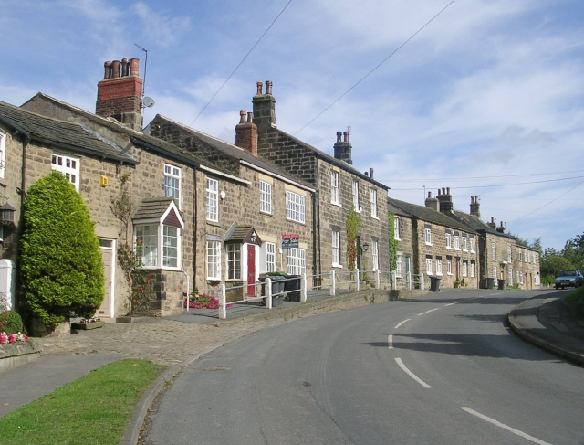
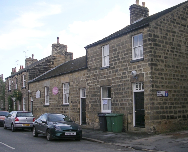
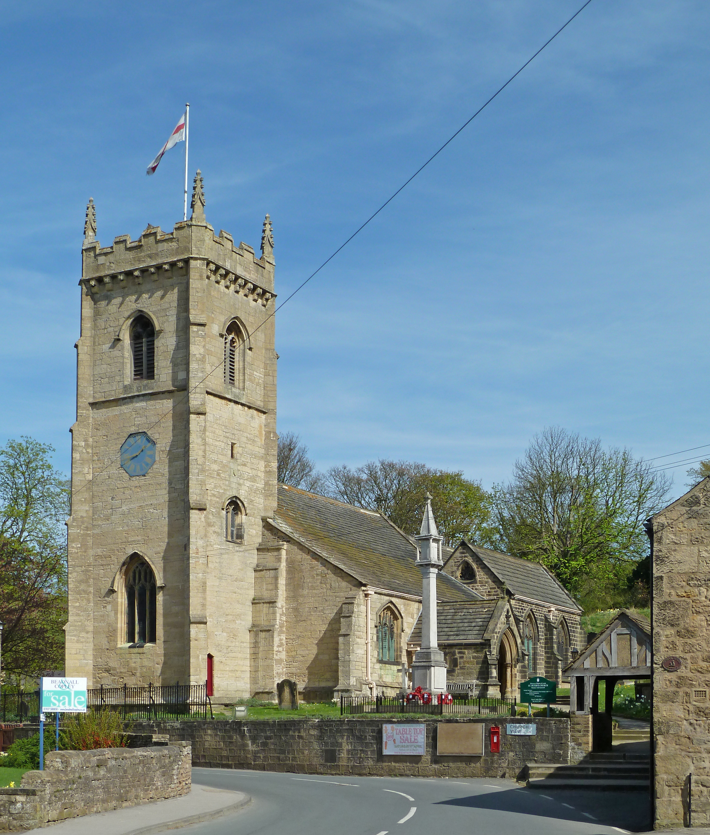
The village of Thorner is known for its charming stone-built houses and well-maintained gardens, which add to its overall aesthetic appeal. It boasts a number of historic buildings, including St. Peter's Church, which dates back to the 12th century and is a prominent feature in the village. The church is renowned for its stunning stained glass windows and intricate architectural details.
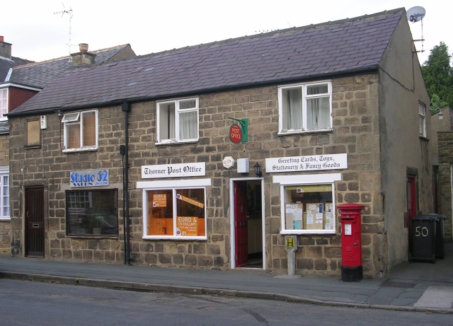
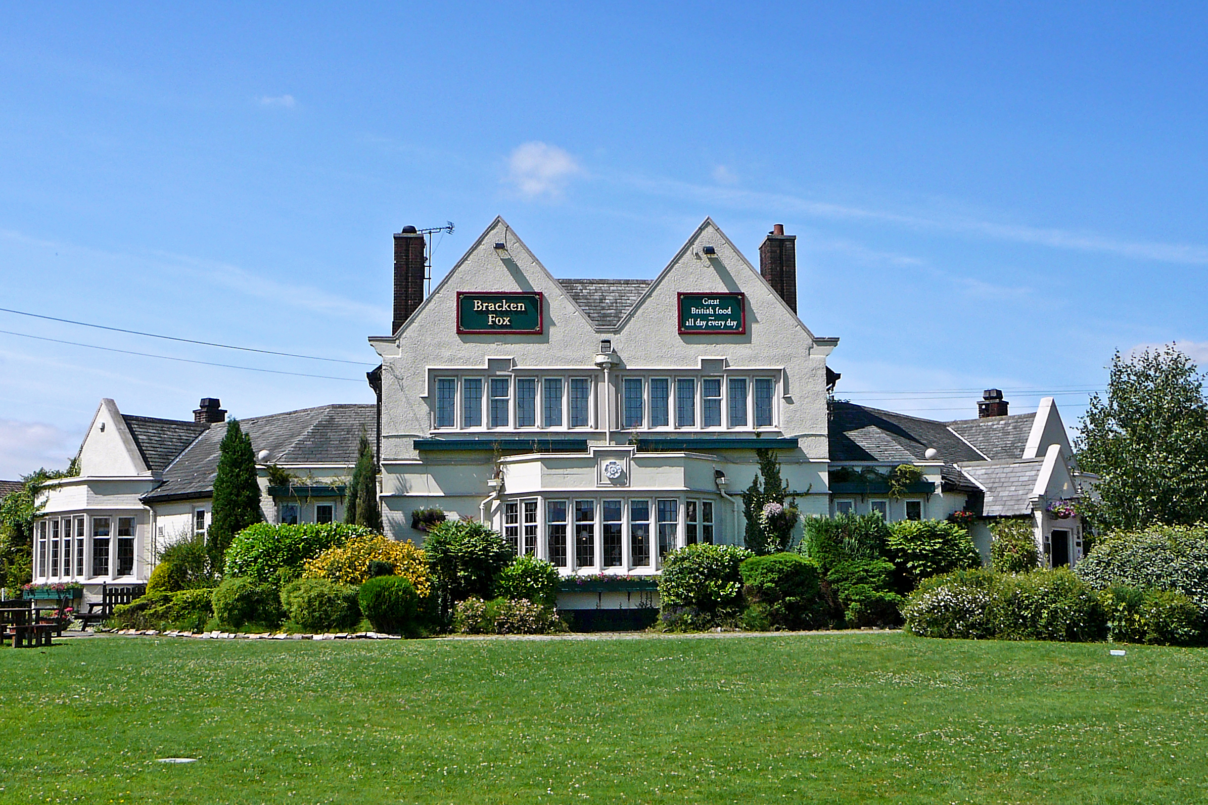
Thorner is home to a range of amenities, including a local primary school, a village hall, and a handful of shops and pubs. The village also has a thriving local community, with various clubs and organizations offering a wide range of activities and events for residents to enjoy.
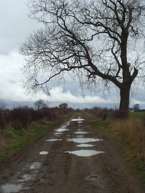
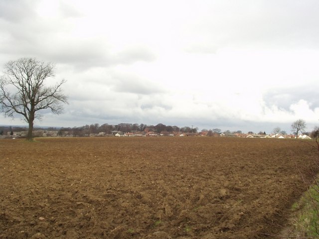
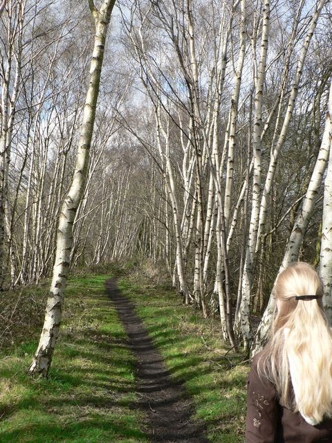
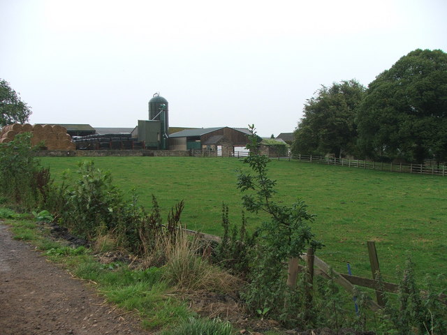
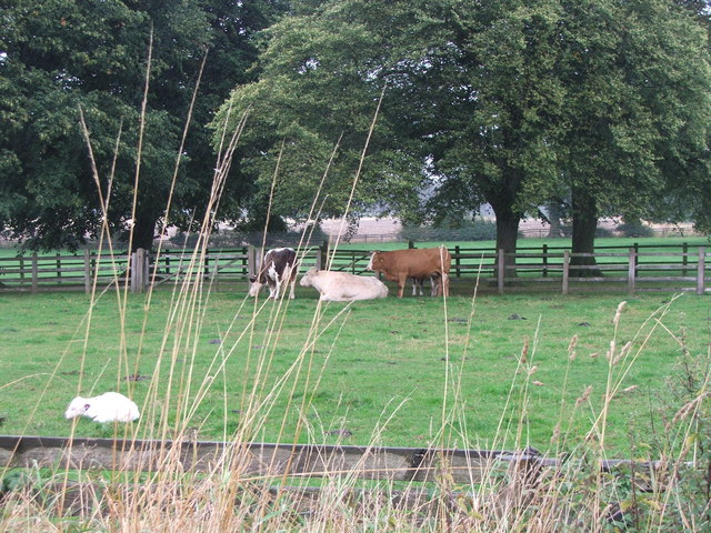
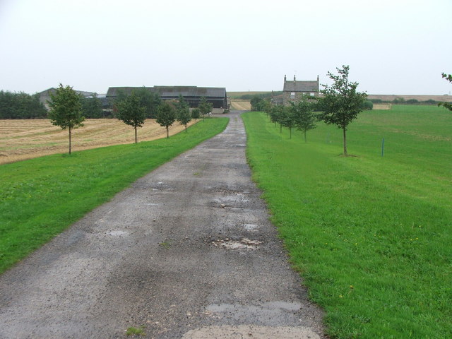
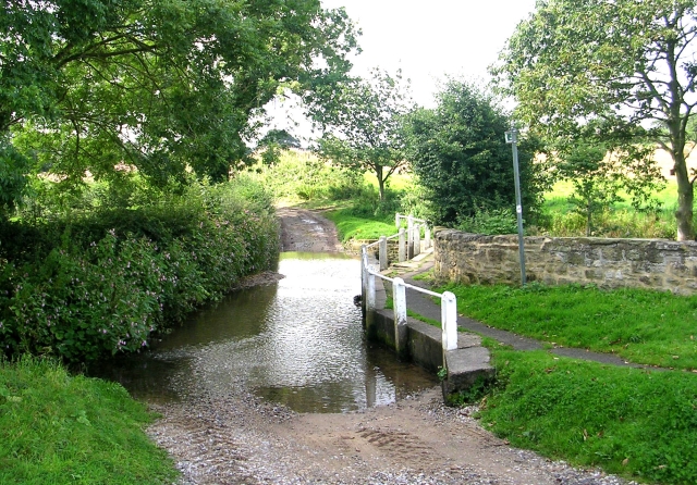
Surrounded by lush green fields and rolling hills, Thorner offers plenty of opportunities for outdoor activities such as walking, cycling, and horse riding. The village is well-connected to the wider region by road, with easy access to Leeds and nearby towns.
Overall, Thorner is a picturesque and historic village that offers a peaceful and idyllic setting for residents and visitors alike. Its strong sense of community, beautiful surroundings, and convenient location make it a desirable place to live in Yorkshire.
If you have any feedback on the listing, please let us know in the comments section below.
Thorner Images
Images are sourced within 2km of 53.854952/-1.427749 or Grid Reference SE3740. Thanks to Geograph Open Source API. All images are credited.
Thorner is located at Grid Ref: SE3740 (Lat: 53.854952, Lng: -1.427749)
Division: West Riding
Administrative County: West Yorkshire
District: Leeds
Police Authority: West Yorkshire
What 3 Words
///nips.risking.moves. Near Thorner, West Yorkshire
Nearby Locations
Related Wikis
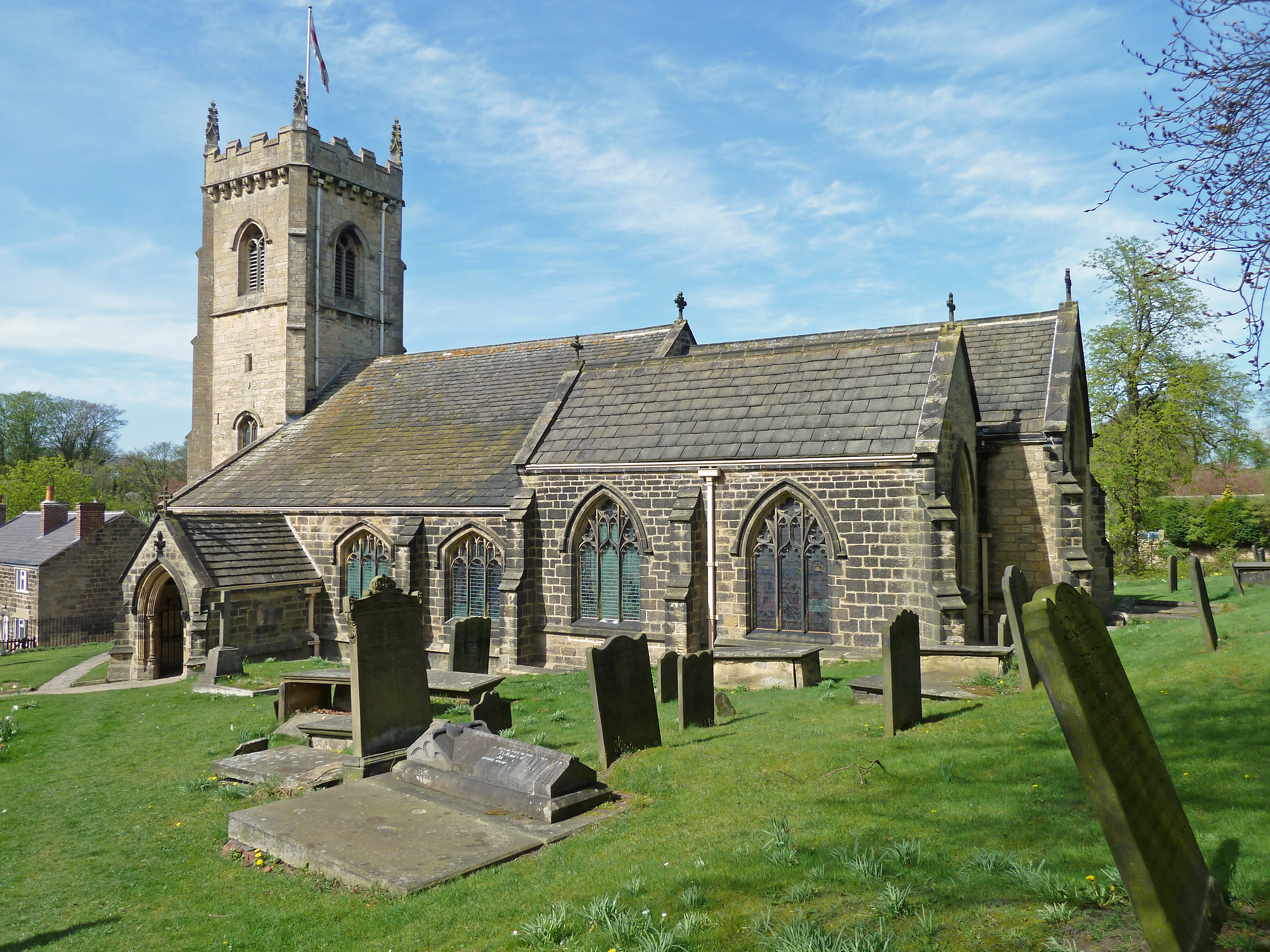
St Peter's Church, Thorner
St. Peter's Church in Thorner, West Yorkshire, England is an active Anglican parish church in the archdeaconry of Leeds and the Diocese of Leeds. The church...
Thorner
Thorner is a rural village and civil parish in the City of Leeds in West Yorkshire, England, located between Seacroft and Wetherby. It had a population...

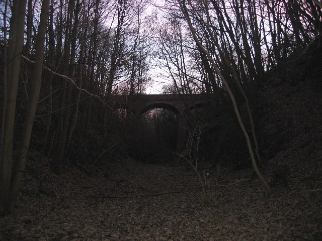
Thorner railway station
Thorner railway station was a station in Thorner, West Yorkshire, England, on the Cross Gates–Wetherby line. It opened on 1 May 1876 and closed on 6 January...

Battle of Seacroft Moor
The Battle of Seacroft Moor took place in Whinmoor moor near the village of Seacroft, north-east of Leeds in West Riding on 30 March 1643 during the First...
Scarcroft
Scarcroft is a village and civil parish 6 miles (10 km) north east of Leeds city centre in the City of Leeds metropolitan borough, West Yorkshire, England...

Arthursdale
Arthursdale is an area within the village of Scholes in West Yorkshire, England. It is a small area immediately to the north of Rakehill Road in Scholes...

Scholes railway station
Scholes railway station was a station in Scholes, Leeds, West Yorkshire, England, on the Cross Gates–Wetherby line. It opened on 1 May 1876 and closed...

Potterton, West Yorkshire
Potterton is a hamlet 1 mile (1.5 km) north of Barwick-in-Elmet in City of Leeds, West Yorkshire, England. It falls within the Harewood ward of the Leeds...
Nearby Amenities
Located within 500m of 53.854952,-1.427749Have you been to Thorner?
Leave your review of Thorner below (or comments, questions and feedback).